
Place · 0.4 mi away
Challenging
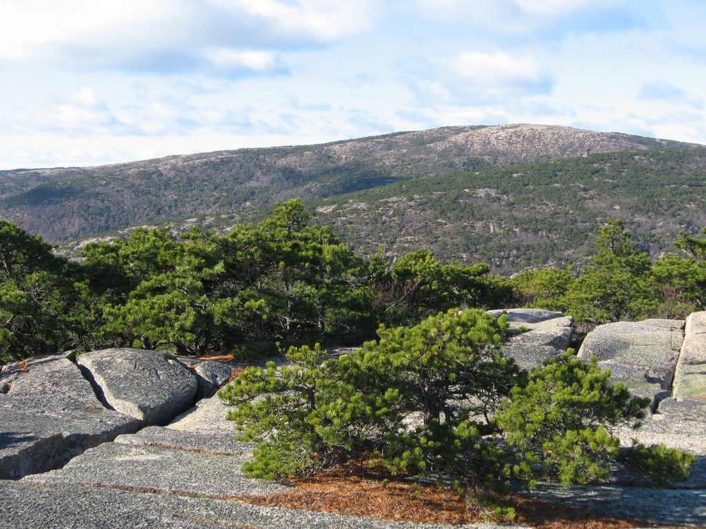
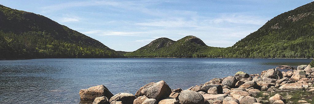
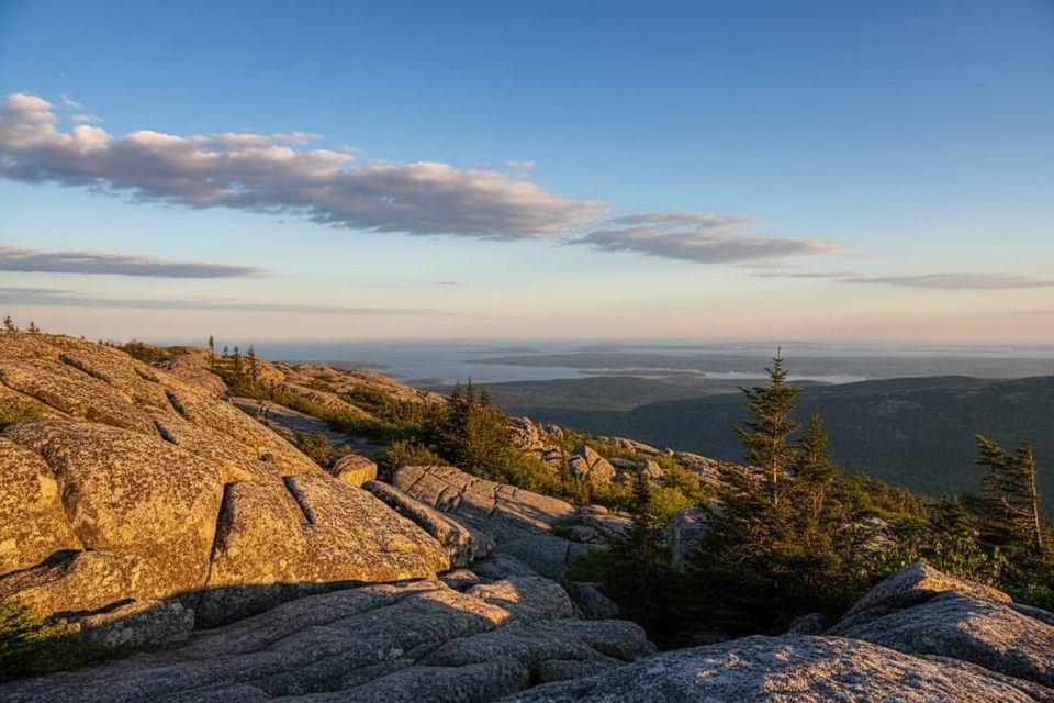
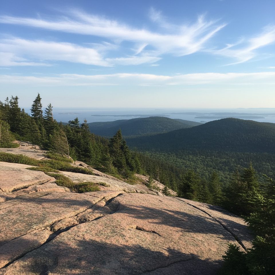
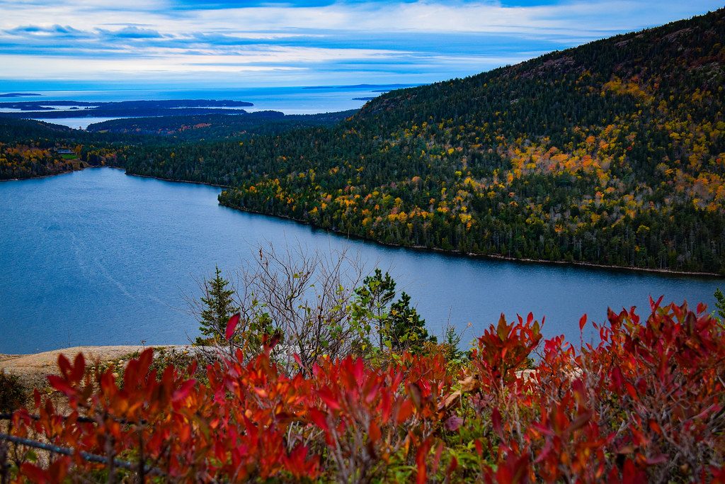
If you want a short, no-nonsense climb to Cadillac’s summit area with constant eye-candy, this is it. The West Face is the steepest, most direct route up Cadillac—strenuous, exposed in spots, and wildly scenic. You’ll stare down at Bubble Pond and Eagle Lake as you work up broad pink‑granite slabs toward the summit ridge.
The West Face segment runs roughly 1.0–1.1 miles one way from the Bubble Pond parking area to its junction with the Cadillac South Ridge Trail, gaining about 1,000–1,100 feet in that mile. Most hikers then continue on South Ridge to the summit, making the full one-way to the top about 1.4–1.6 miles. Expect about 1–1.5 hours for the West Face climb itself, or roughly 2–3 hours one way if you go to the summit.
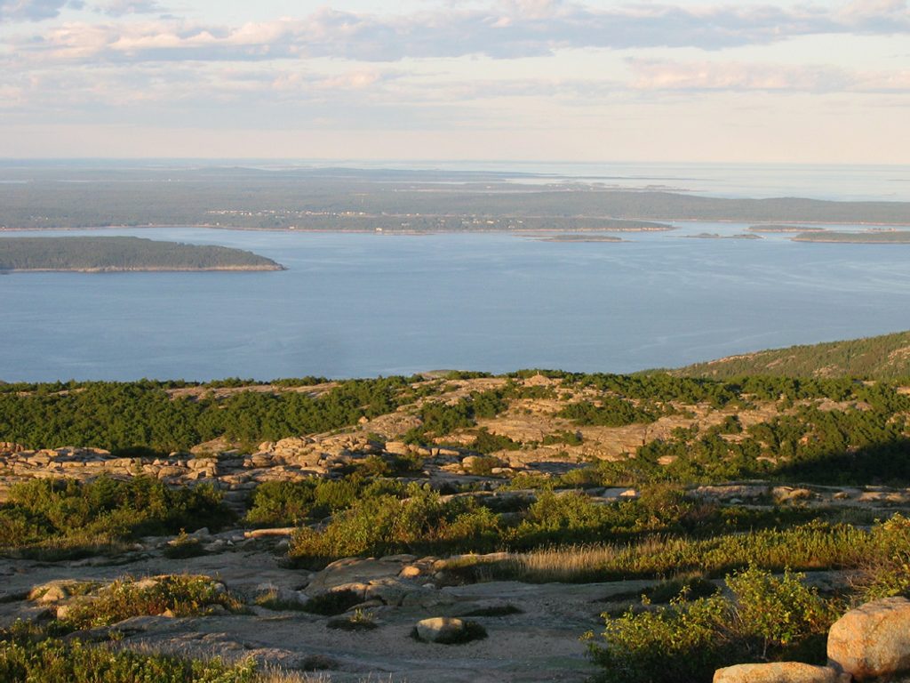
This trail moves quickly from forest to open ledges. Underfoot is mostly bare granite with short, steep steps, some hand‑over‑hand moves, and airy traverses. It’s well-marked, but on the slabs the line sometimes “jigs”—if you charge straight up, you can step off-route. Watch for cairns and paint blazes. Views open early and often toward Bubble Pond, Eagle Lake, Pemetic, and even out to the coast.
It’s strenuous and exposed in places, with real consequences if you slip. Granite is slick when wet or mossy—skip it in rain, fog, or ice. Wind can be fierce once you hit the South Ridge. Descending the West Face can feel sketchy; many hikers go up West Face and down a gentler route like South Ridge.
Park at the small Bubble Pond lot on Park Loop Road—it fills fast. In busy season, the free Island Explorer shuttle is a smart play. Leashed dogs are allowed in Acadia, but this route’s slabs and exposure aren’t a good match for many pups. One more heads-up: signage at the junction with South Ridge has been reported missing at times—have a map/GPS.
You’re climbing Cadillac’s famous pink granite, with pitch pines and gnarled coastal softwoods giving way to open rock as you gain elevation. Keep your eyes on the views and your feet on dry stone.
Late spring through fall on a dry day. Start early or late for cooler temps, easier parking, and softer light on the lakes. Avoid this route in wet, foggy, or icy conditions—the slabs can be treacherous.
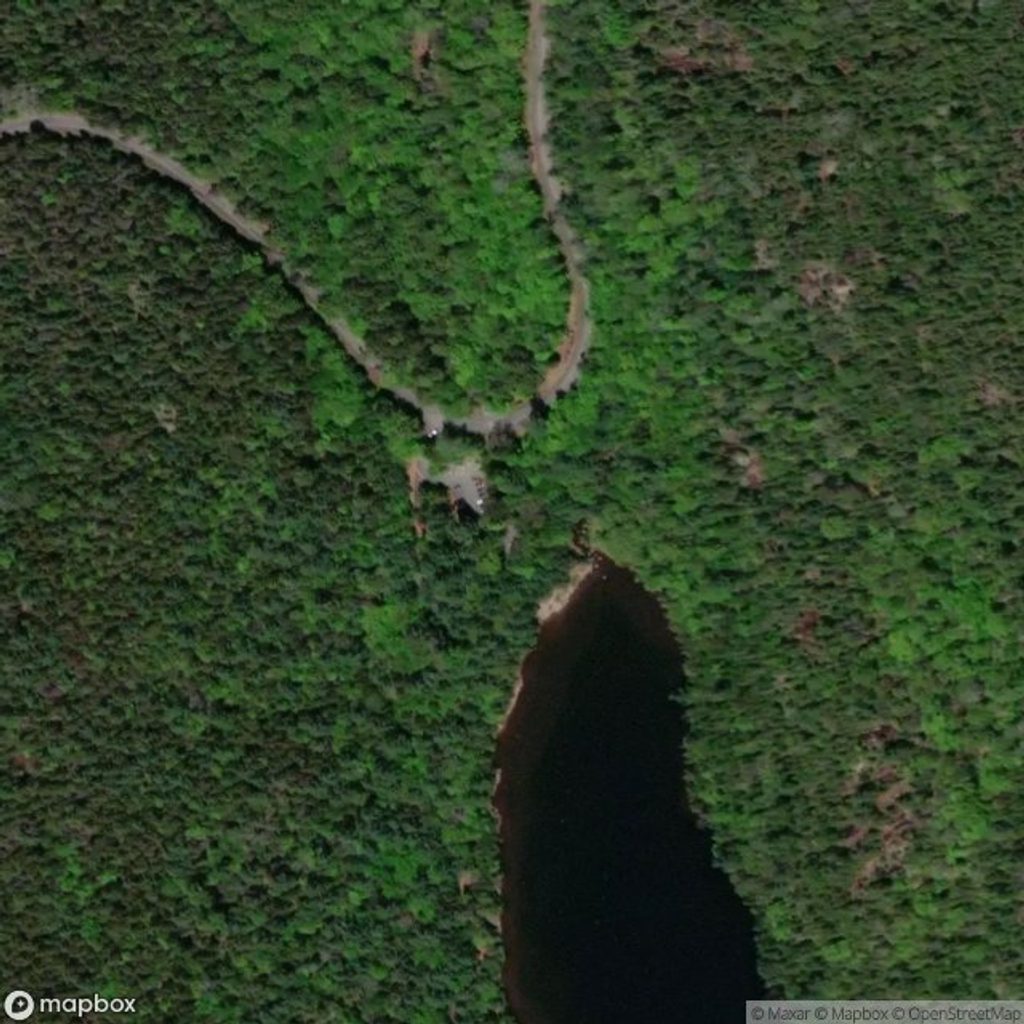
Start at the Bubble Pond parking area on Park Loop Road; the lot is very small and fills quickly—arrive early/late or use the Island Explorer shuttle in busy season.
Steep, exposed granite slabs with hand-over-hand moves; extremely slippery when wet or icy. Strong winds on the South Ridge. Route can jog on open rock; watch for cairns/blazes and a potentially missing junction sign.
Place · 0.4 mi away
Place · 0.8 mi away
Place · 0.9 mi away
Place · 0.9 mi away
Challenging · 0 mi away
Challenging · 0 mi away
Challenging · 0 mi away
Easy · 0.8 mi away

Parkwolf Tour Guide
