Parking
Start at the Bubble Pond parking area, then walk east along the north shore to the West Face marker.

Acadia National Park, ME
Scramble up granite ledges for views over Bubble Pond.
Overview
Map & elevation
Plan your hike

The highest, rockiest slopes around here are a summer buffet for grizzly bears.
Acadia Tour Guide
Parkwolf is a GPS audio tour guide for Acadia National Park. As you drive, it chimes in with what’s ahead: hidden gems, upcoming stops, history, geology, and wildlife, right through your car’s speakers.
See the Acadia audio tourRecorded for this trailhead
Bubble Pond and Its Rustic Bridge“Bubble Pond is coming up, and for an easy stop I'd take the gravel carriage road along its western shore.”
Plays as you drive up to this trailhead in the Parkwolf Acadia Tour Guide.
More stories near here in the app
“…As we drove through Acadia it gave us a tour, which was really cool. Lots of great info about the parks and how to avoid the crowds. It’s a great travel companion!”


Trail guide
Cadillac West Face Trail is a 0.9-mile one-way climb from the marked entry on Bubble Pond’s north shore to the Cadillac South Ridge junction. The South Ridge junction sits roughly 1,050 feet above the start, so this is a hard scramble, not a quick leg-stretcher. Allow about 1.5 to 2 hours uphill. Turn around at South Ridge for about 1.8 miles round trip, or continue on South Ridge toward the summit. The longer summit distance includes that continuation; this trail ends at the junction.
From Bubble Pond parking, walk east along the north shore to the West Face marker. The path climbs abruptly through forested boulders, then zigzags over steep granite ledges and slabs. Some slabs tilt outward, and the higher sections feel exposed. There are scramble moves along the way, so expect to watch each step rather than settle into a steady walking rhythm.
After the first few hundred feet, Eagle Lake appears to the northwest. Higher up, Bubble Pond fills the foreground, with North Bubble in front of Sargent Mountain. Pause on the established trail where the shelf opens and frame the pond below those peaks; that gives the view a sense of height without edging toward the drop.
The steep slabs can feel more intimidating going down, especially when the granite is wet or icy. In 2019, a hiker descending the West Face slid more than 40 feet and fell over a 15-to-20-foot cliff before being rescued. That was one incident, not a measure of frequency, but it shows why a slip here can have serious consequences. NPS also lists the West Face among trails it considers unsafe for dogs, so leave pets off this route.
Cadillac Mountain’s granite formed about 420 million years ago, when magma pushed through older rock and broke off pieces that became enclosed in the granite. The park’s geologic history gives the ledges a bigger story than a tough climb: this rough, fractured rock is part of a much older intrusion that shaped the mountain.
Wildlife
 131 sightingsBald EagleMost seen around noonSighting map
 21 sightingsPeregrine FalconMost seen around 10 AMSighting map
 403 sightingsWhite-tailed DeerMost seen around 7 PMSighting map
 307 sightingsPorcupineMost seen around 7 PMSighting map
 205 sightingsBeaverMost seen around 7 PMSighting map
 34 sightingsMinkMost seen around 7 PMSighting map
Sighting maps show where each species has been reported across Acadia. Wildlife moves, so no sighting is guaranteed.
Keep exploring
 ChallengingPemetic North Ridge Trail2.6 mi · 2.5 hr · At the trailheadA steep forest climb ends at a three-pond, ocean-facing summit.
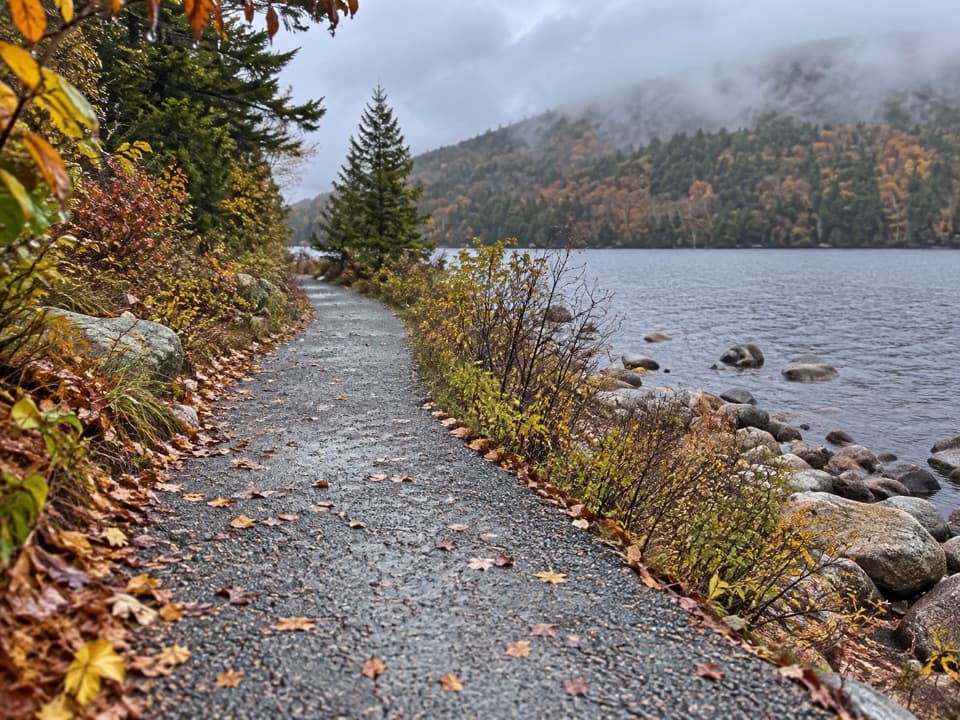 EasyBubble Pond Shore Walk1.3 mi · 42 min · At the trailheadA mellow gravel walk follows the pond toward Cadillac’s western face.
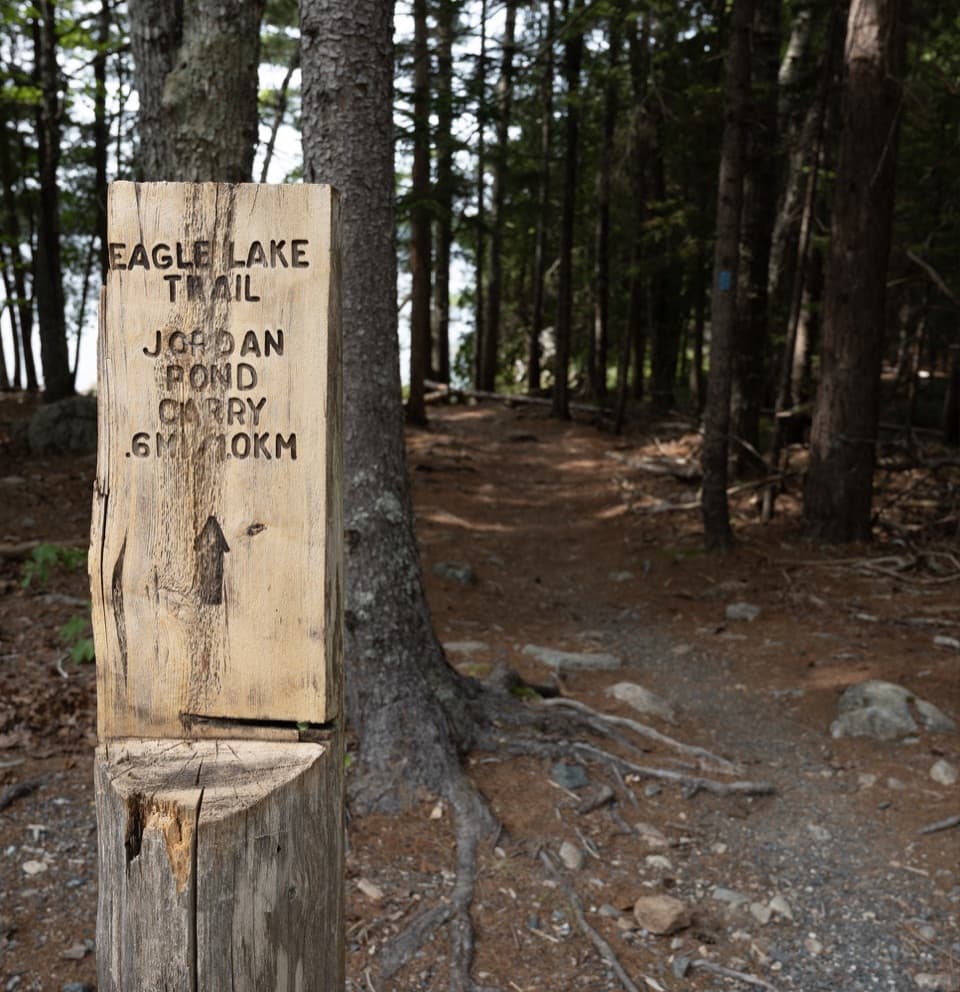 ModerateEagle Lake Trail1.7 mi · 1 hr · 0.4 mi awayA rocky, rooty path along Eagle Lake’s wooded south shore.
 ModerateBubbles Trail1.5 mi · 1.3 hr · 0.8 mi awayTwo summits and a perched glacial boulder in 90 minutes.
 ModerateBubbles Nubble Loop3.5 mi · 2.5 hr · 0.8 mi awayThree summits, two lakes, and one boulder left by the ice.
 ChallengingPemetic Northwest Trail1.2 mi · 1.8 hr · 0.8 mi awayA short, steep granite scramble to Pemetic's open summit.
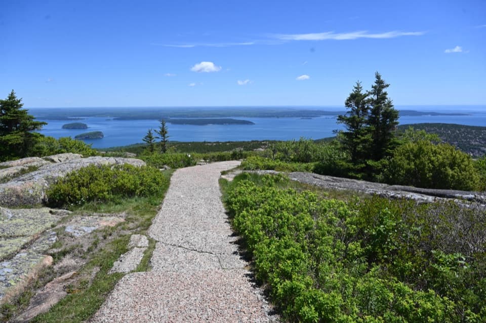 EasyCadillac Summit Loop Trail0.4 mi · 20 min · 0.9 mi awayGranite underfoot, island-dotted water in every direction.
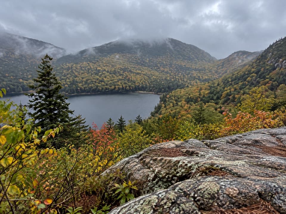 ModerateConners Nubble Trail0.3 mi · 30 min · 0.9 mi awayA short granite climb to an open Eagle Lake view.
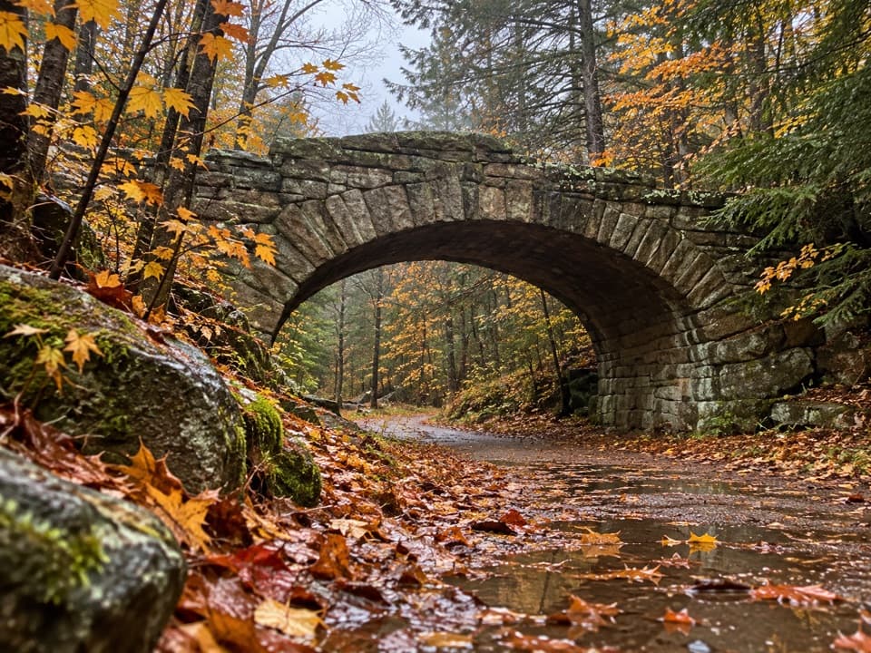 Sight · At the trailheadBubble Pond BridgeA stone arch that survived two rejected designs.
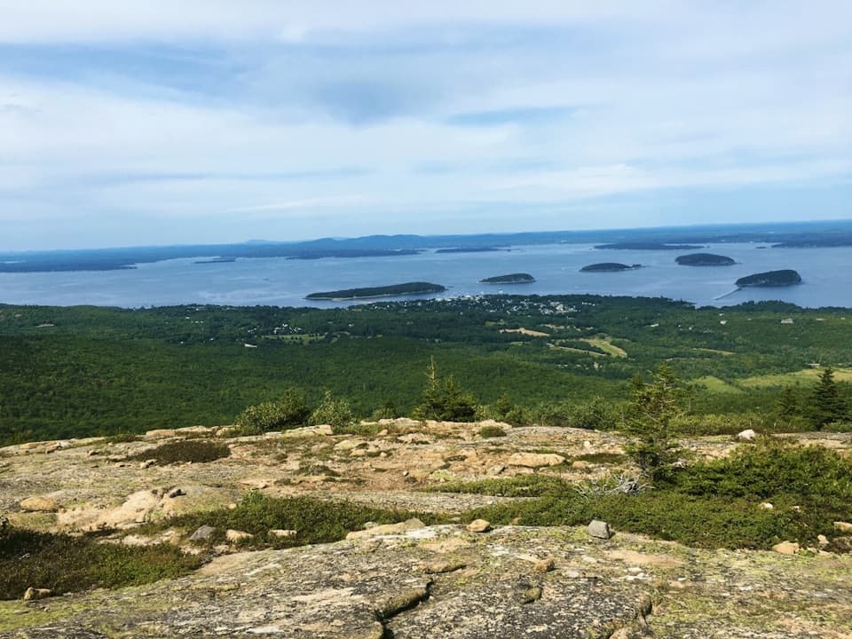 Sight · 0.8 mi awayCadillac MountainA short summit walk opens onto an island-and-ocean panorama.
 Sight · 0.9 mi awayBubble RockA hundred-ton erratic balanced on South Bubble’s summit ledge
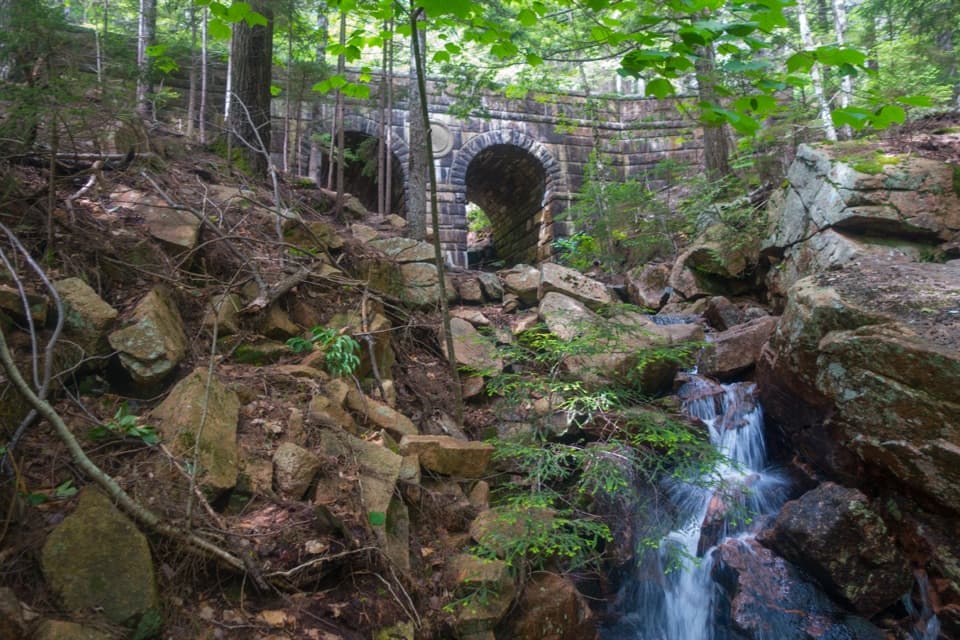 Sight · 1.2 mi awayDeer Brook BridgeTake a carriage-road detour for twin arches and a 1925 medallion.
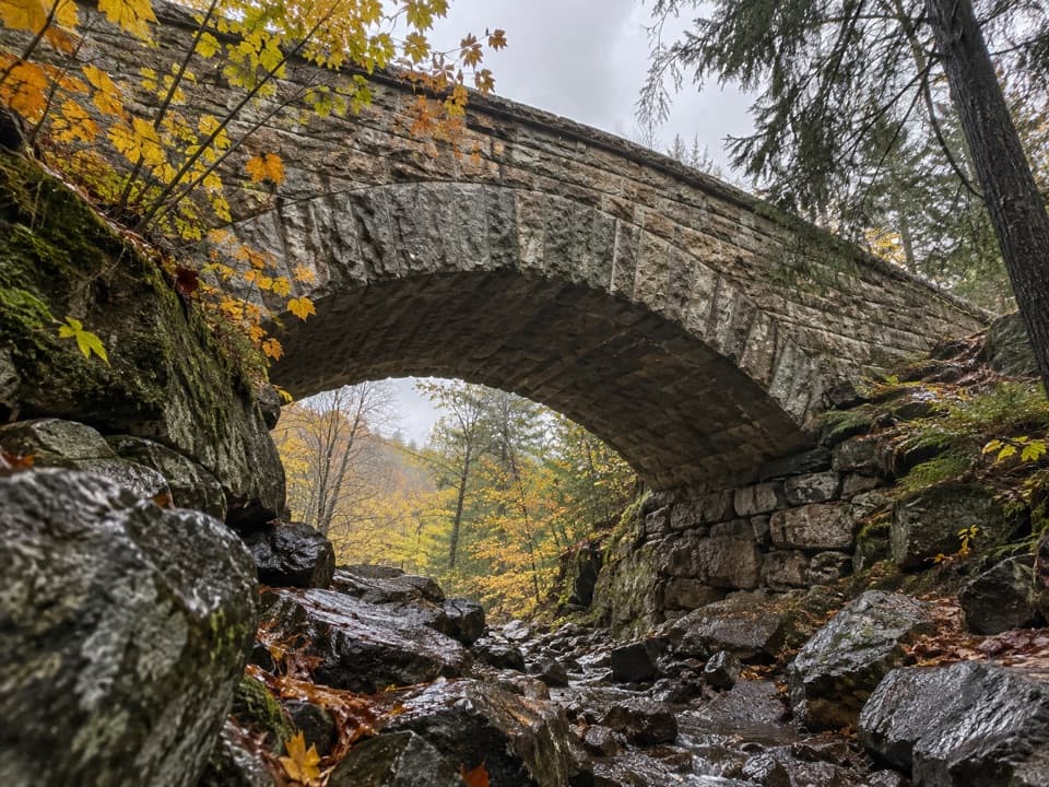 Sight · 1.7 mi awayChasm Brook BridgeA granite arch tucked above a rocky, wooded gorge.
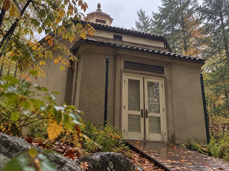 Sight · 1.8 mi awayAbbe Museum at Sieur de Monts SpringThe Abbe’s original 1928 museum, tucked into the Sieur de Monts woods.
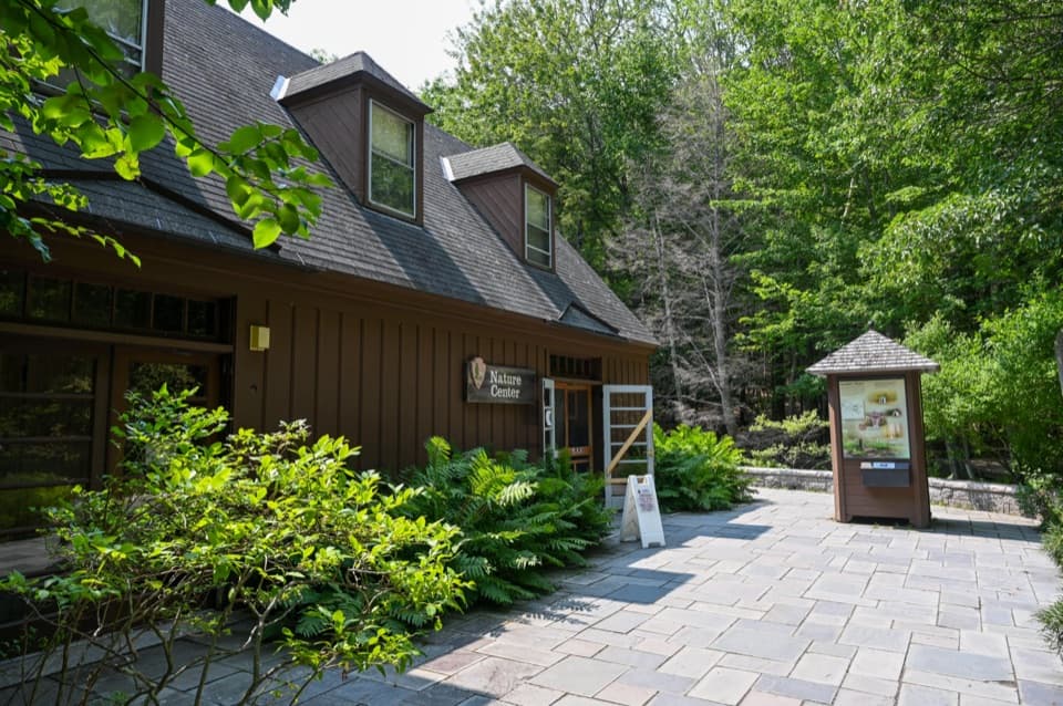 Visitor center · 1.9 mi awaySieur de Monts Nature CenterA smart first stop for Acadia’s trail choices and natural history.
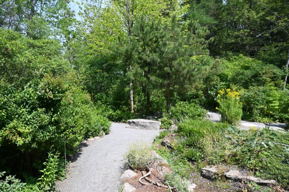 Sight · 1.9 mi awayWild Gardens of AcadiaA compact, labeled tour through native plant habitats.
Parkwolf’s Acadia ranking

The audio tour guide for the drive, plus offline maps, trails, and wildlife heatmaps for when the signal drops.




