

Place · 0 mi away
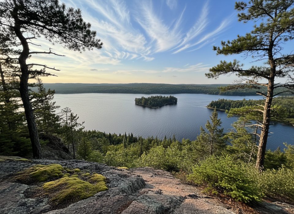
This is the jump-off point for Algonquin’s demanding 10.4 km Centennial Ridges loop—two rugged ridgelines stitched together by forest, ponds, and boardwalks, with big lookouts over lakes like Whitefish. Expect a real workout and real rewards.
You’ll find a dedicated parking lot directly off Highway 60 at km 37.6, a kiosk with a large map and pamphlet trail guide, and pit toilets. That’s it—no water and no trash cans, so arrive prepared and pack everything back out. A valid park permit is required.
From the trailhead the loop is clearly marked (blue circle blazes). Underfoot it’s classic Canadian Shield—rocky, rooty, and steep in places—with low, muddy sections and a short boardwalk. Multiple cliff-edge lookouts deliver the marquee views, including sweeping perspectives over Whitefish Lake.
Plan roughly 3.5–4.5 hours for strong hikers, longer with photo stops or muddy conditions. There’s significant elevation change (roughly 440 m overall), so sturdy footwear—and poles if you like them—pays off.
Birdlife is abundant along the ridges and wetlands, and hikers often spot beaver activity near ponds and dams. Bring repellent for buggy stretches near water.
Weekdays are noticeably quieter. Start early to secure parking and cooler temperatures; late-day light can be lovely from the lookouts. Typical posted hours are 7 AM–10 PM.
Lookouts sit on cliff edges—mind your footing and keep back from drops. After rain, rocks and roots get slick, and mud can slow you down.
Place · 0 mi away
Place · 1 mi away
Place · 1.2 mi away
Place · 1.4 mi away
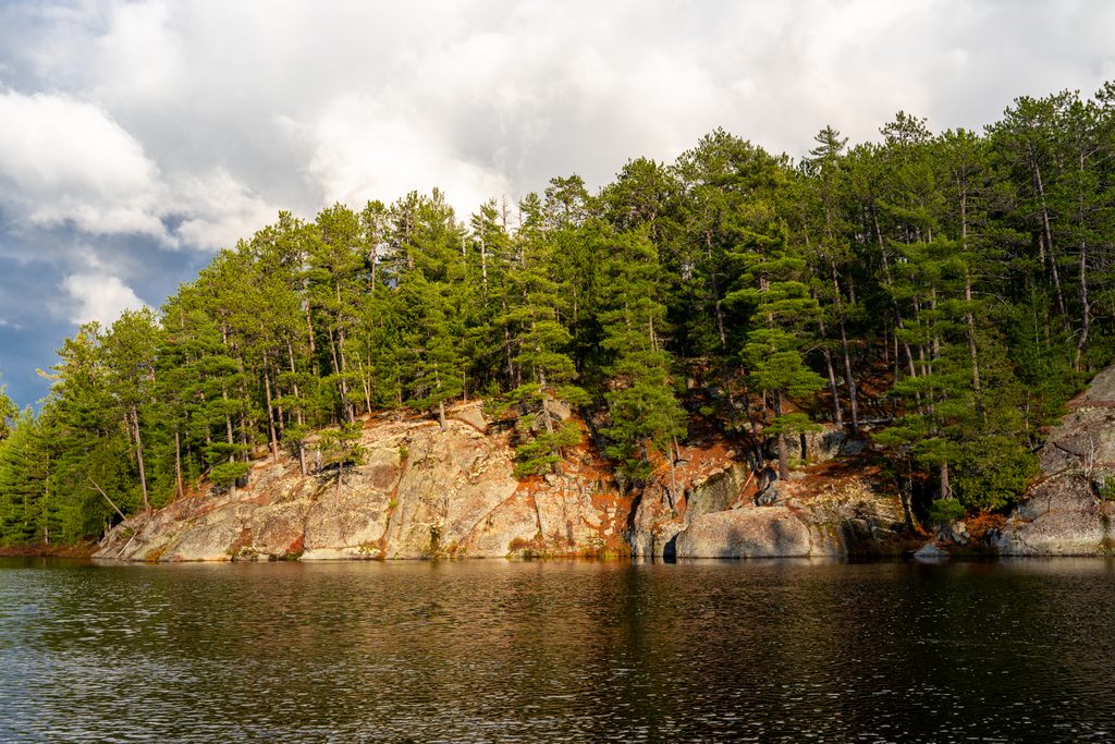
Challenging · 0 mi away
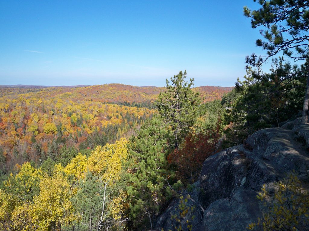
Moderate · 1.7 mi away
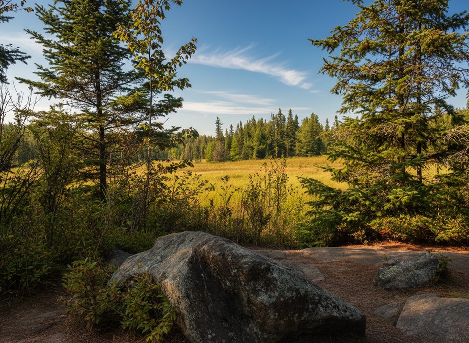
Easy · 1.9 mi away
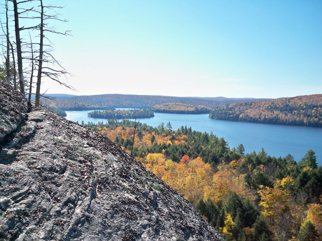
Moderate · 2.8 mi away

Parkwolf Tour Guide
