Moderate

Booth's Rock Trail

Short, punchy loop to a classic Rock Lake lookout.
Booth's Rock Trail, Algonquin Provincial Park
Distance3.2 mi
Typical time2 hr
DifficultyModerate
PetsAllowed

Overview

A compact classic. Booth’s Rock is a 5.1 km/3.2 mile loop with a sustained climb to big views over Rock Lake, then a relaxed finish along an old rail bed. It’s officially rated difficult thanks to steep sections and a long staircase, though most hikers find it moderately challenging in good conditions. Expect about 2 hours total.

Route and Highlights

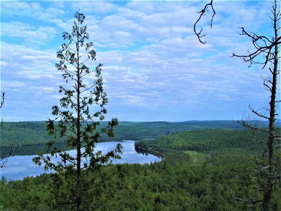
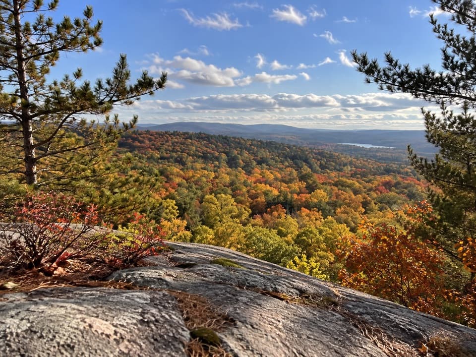
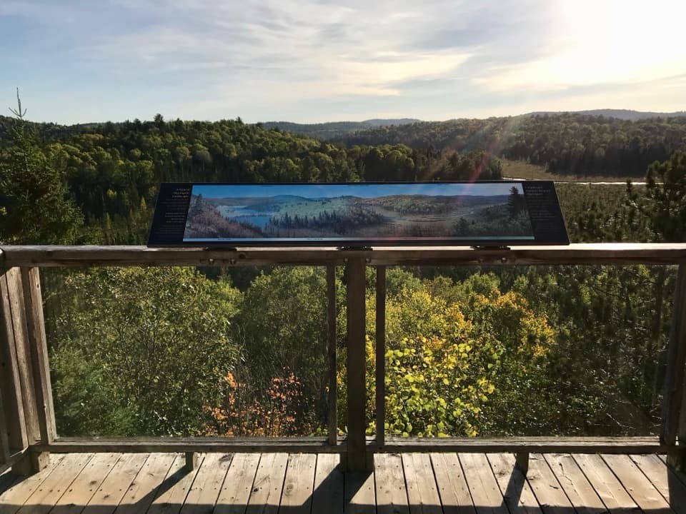
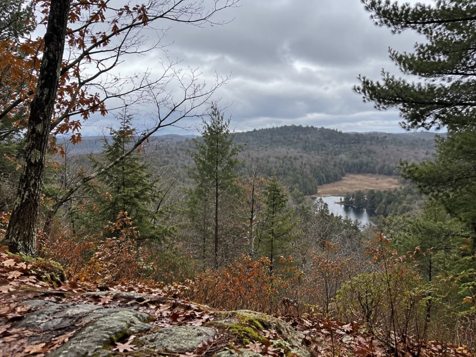
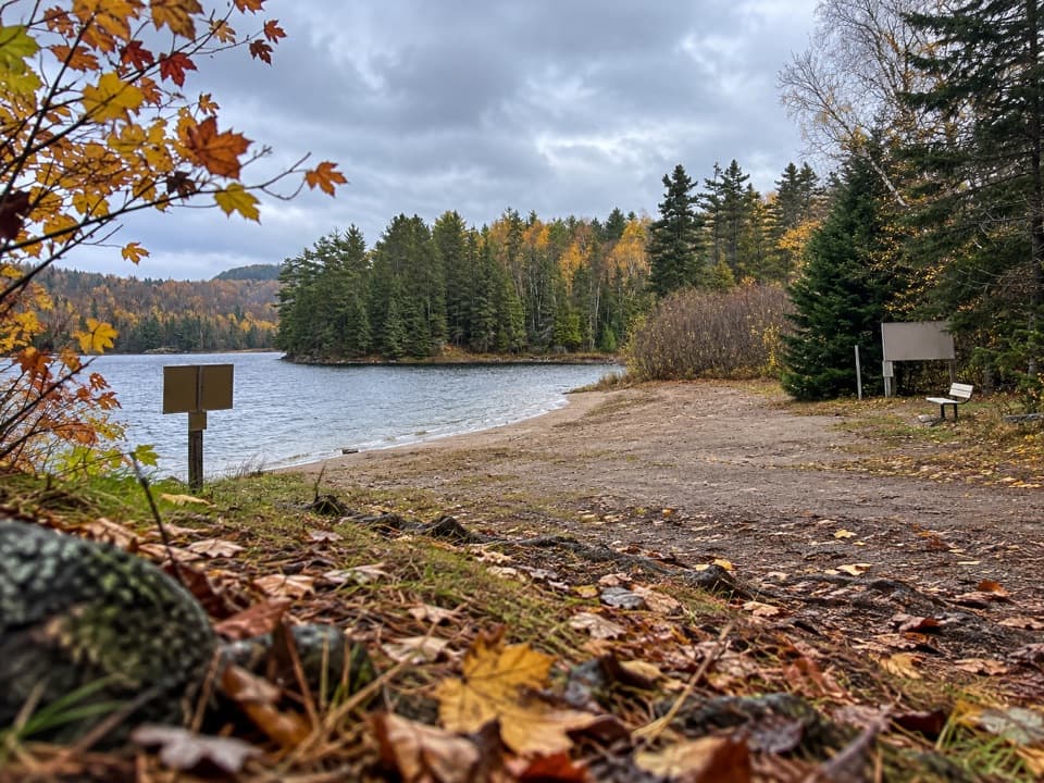
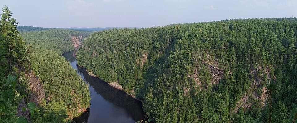
Go clockwise. You’ll pass Rosepond Lake, swing near Gordon Lake, then ascend gradually to the cliff-top lookouts. After soaking up the panorama (you can spot Rock Lake and even Whitefish Lake in the distance), descend the staircase and cruise the flatter rail grade back. Along the way, keep an eye out for the remains of the historic Barclay estate—foundations and old features tucked in the woods.

Trail Feel

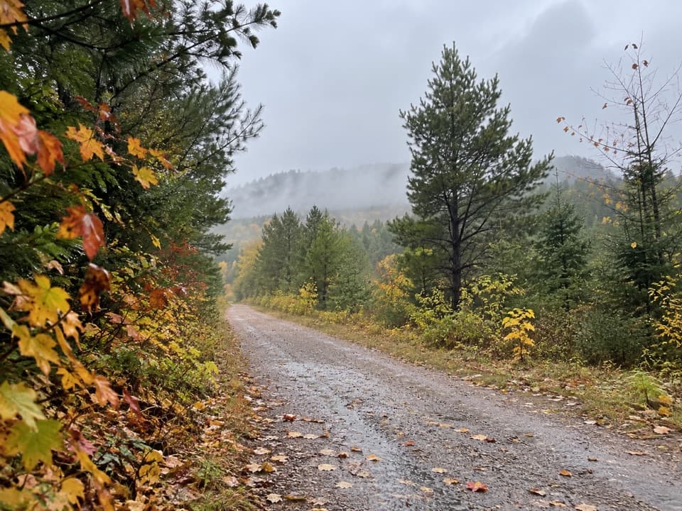
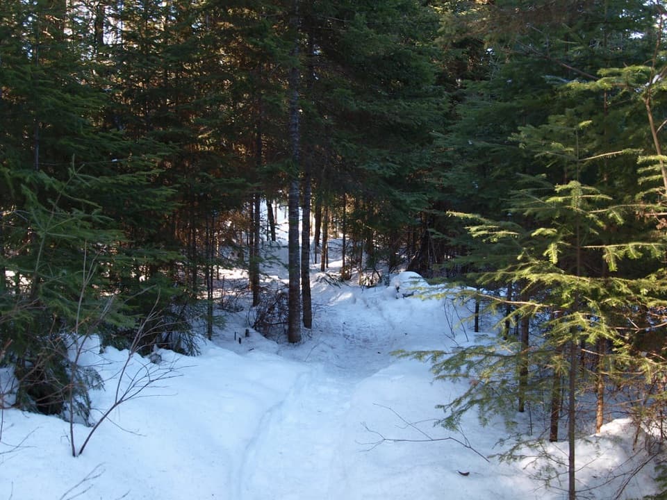
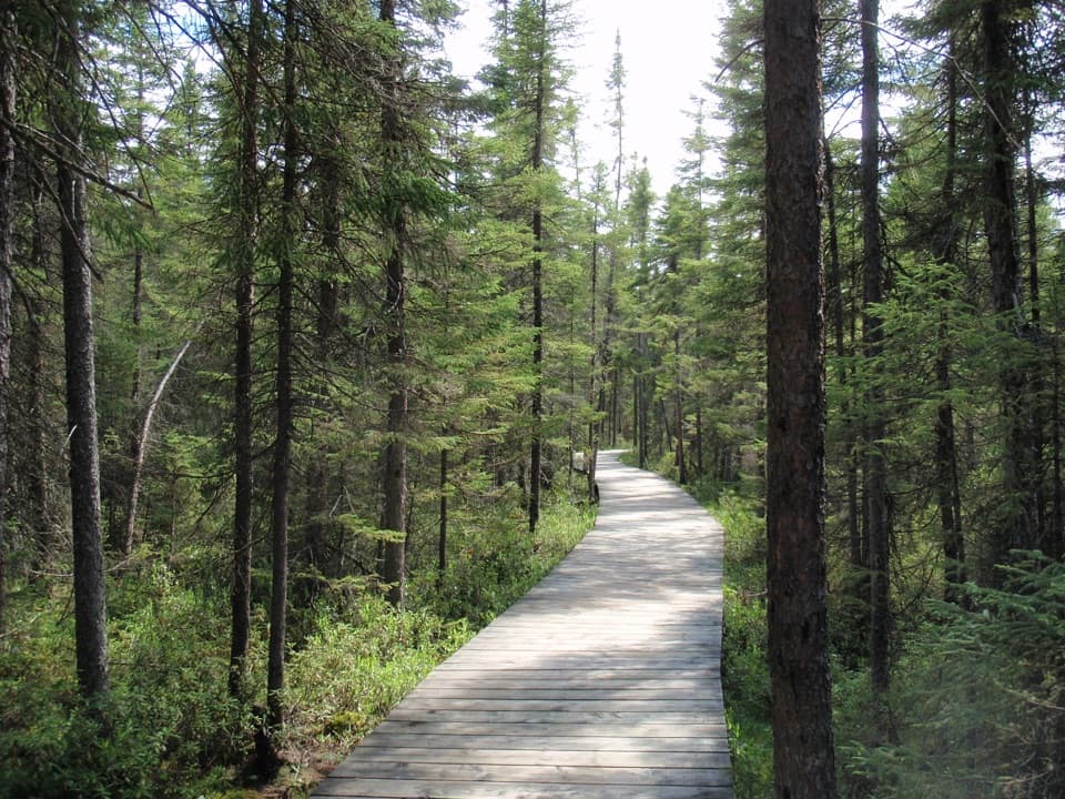
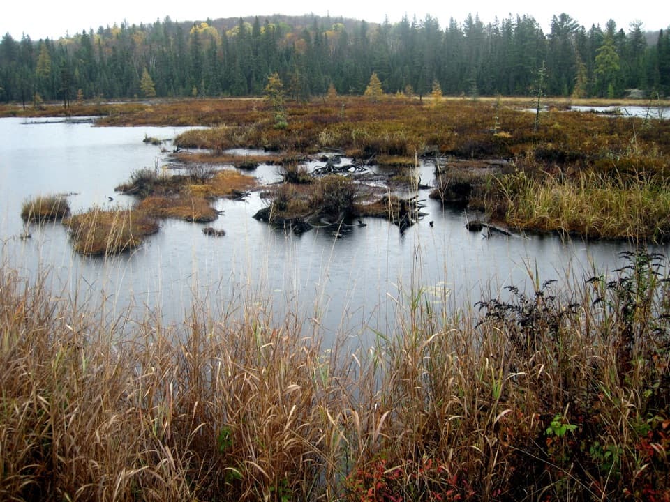
Mixed forest (including stretches of pine), rocky and rooty underfoot in places, and often muddy after rain. Sections can flood or wash out due to beaver activity; on those days, many hikers treat the trail as an out-and-back to the lookout instead of forcing the full loop. It’s well-used and for good reason—the payoff-to-effort ratio is high compared with longer park favorites like Centennial Ridges or Track & Tower.

Logistics

A valid Ontario Parks permit is required. During the peak fall colour period (September 13–October 20, 2025), a specific Daily Vehicle Permit is required for Booth’s Rock and capacity is enforced at the Rock Lake lot. The trailhead is about 9 km south of km 40.3 on Highway 60 via Rock Lake Road, beside Rock Lake Campground. The lot fills early in peak seasons; morning starts or mid‑afternoon turnover help. Dogs are allowed. No bikes.

Best Times to Hike

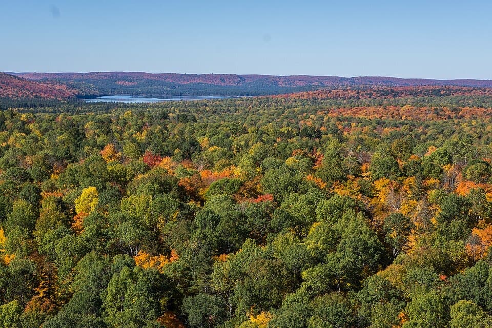
Fall is prime for foliage and crisp air, but it’s crowded—go early or late in the day for calmer viewpoints and softer light. After rain (common in spring and fall), expect mud and slick rock/roots. In summer, start early to beat heat and crowds.

Tips

  • Clockwise keeps the climb more gradual and saves you from a big staircase on the way up.
  • Waterproof or grippy footwear and optional poles make the wet sections much safer.
  • If the far side of the loop looks flooded, backtrack from the lookout—no shame, better views twice.

Pros

  • Historic Barclay Estate ruins add a unique stop to the loop
  • Big-payoff Rock Lake views in a compact, efficient loop

Cons

  • Beaver flooding can force a backtrack or partial closure
  • Fall capacity limits and a permit window make parking competitive

Parking

Trailhead parking at the Rock Lake lot (9 km south of km 40.3 on Hwy 60 via Rock Lake Road), beside Rock Lake Campground; fills early. During Sep 13–Oct 20, 2025, a Booth’s Rock Daily Vehicle Permit with enforced capacity is required.

Caution

Steep staircase and slick, rocky, muddy footing—sections can flood from beaver activity; check conditions and consider hiking clockwise.

The Parkwolf tour guide sitting on a phone mounted in a car

Parkwolf Tour Guide

Like a tour guide in your car.

Bring Algonquin trail research into the car, with offline maps and stories that play as you drive.Download Parkwolf on the App Store