Pros & cons
PROS
- Lookouts are spread throughout the loop, so views keep coming instead of one big payoff.
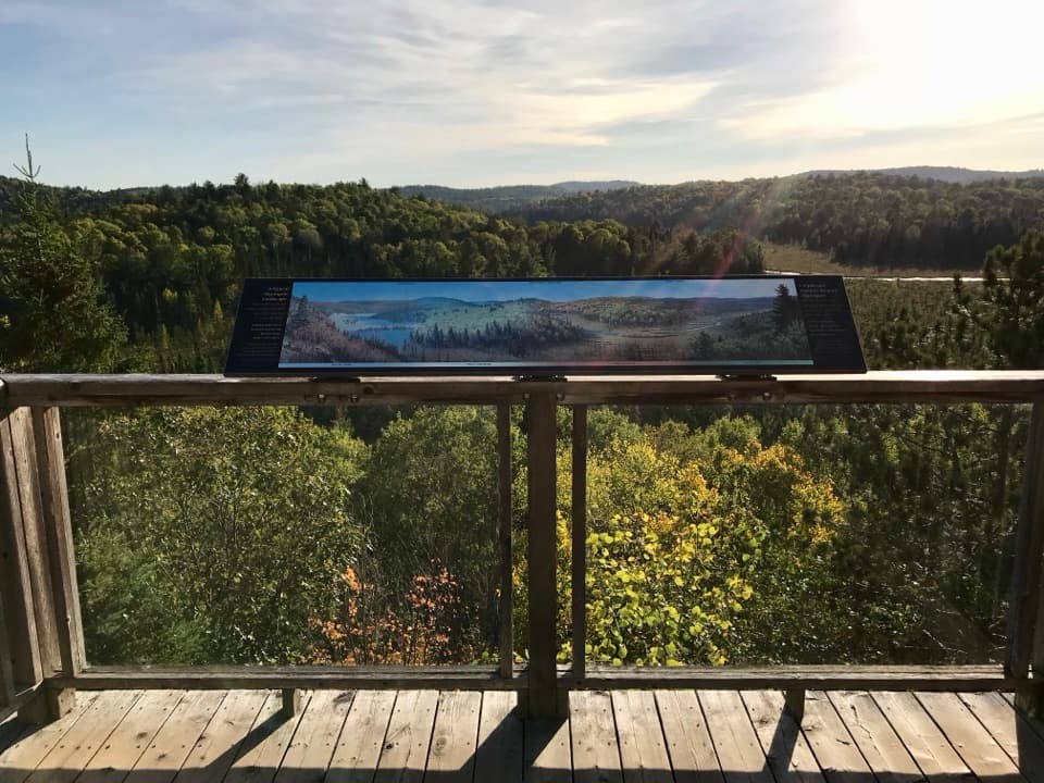
- Interpretive theme adds context to the scenery without slowing the hike.
CONS
- Access road is gated in winter, adding ~4 km of extra walking to reach the trail.
- Trail can be very muddy even after dry spells, making footing slick and slow.
- Fall color weekends see heavy crowds and a fast‑filling lot.
Signed lot at the end of Centennial Ridges Road off Highway 60 (km 37.6). Toilets on site. A daily vehicle permit is required; reserve in advance during busy seasons. In winter the gate at Highway 60 is closed and you must walk the access road (~4 km round trip).
Cliff‑edge lookouts with fall hazards; watch footing and keep back from edges. Expect slick rock and roots after rain, frequent mud, intense bugs in late spring/early summer, spotty cell service, and a longer day if you take side spurs.
Overview
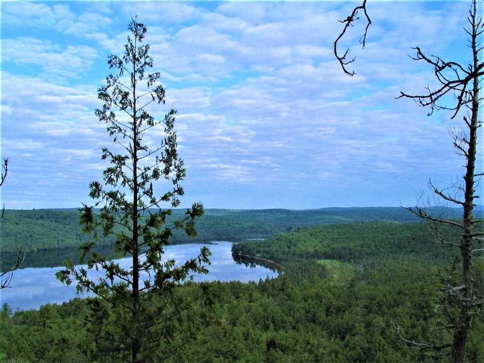
A true big‑view workout, Centennial Ridges is a 10.4 km/6.5 mi loop that hops across two rocky ridges for repeated panoramas of lakes, cliffs, and deep forest. It’s rated difficult for good reason: short, steep climbs stack up to roughly 400–475 m of cumulative gain, and the tread is classic Canadian Shield—roots, rock, and occasional mud. Budget 3.5–7 hours depending on pace and photo stops; most hikers land around 4–5.
What You’ll See
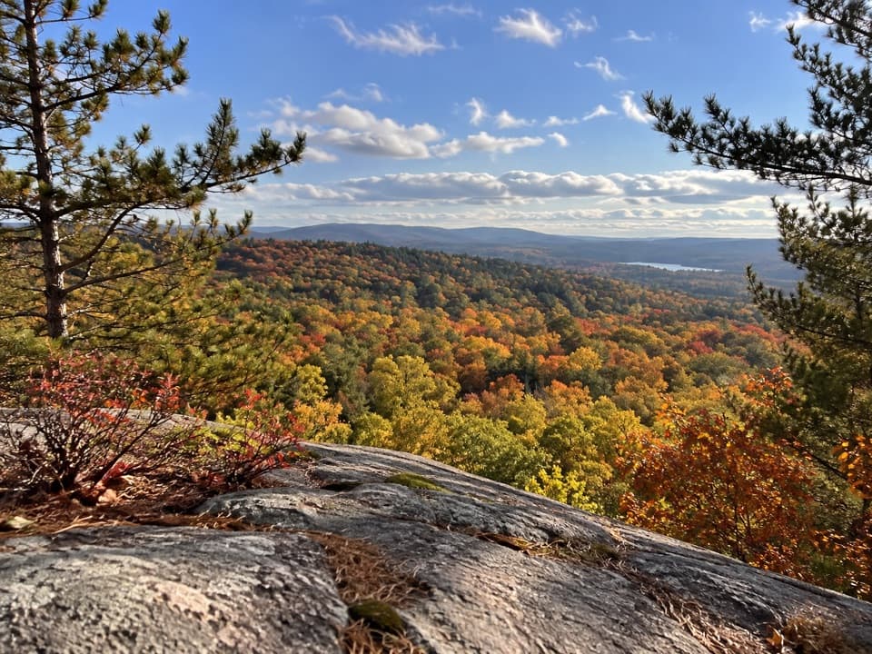
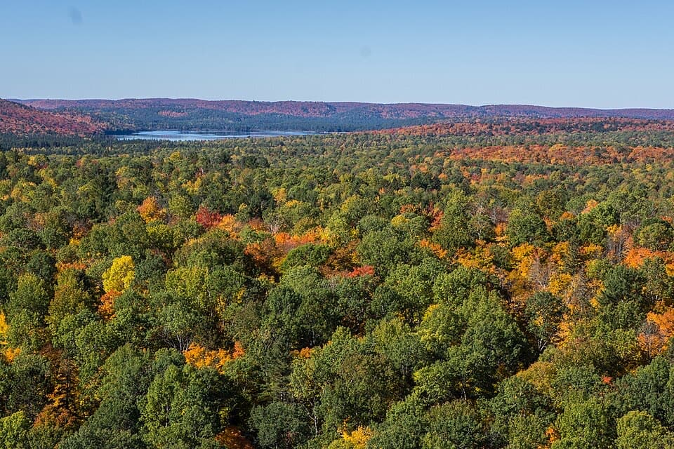
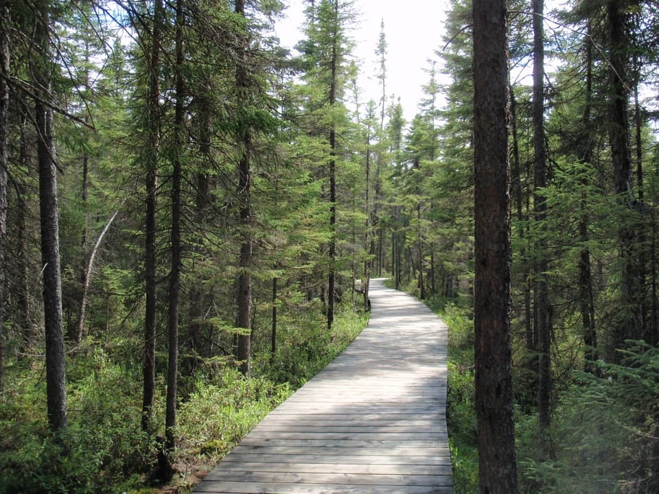
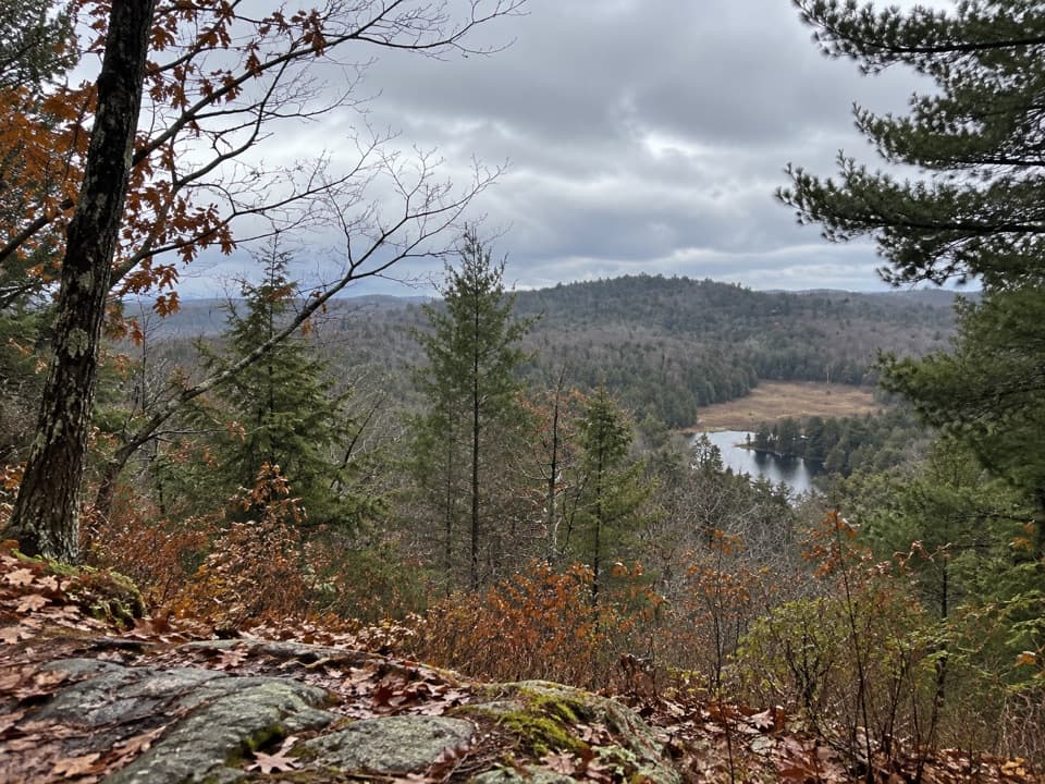
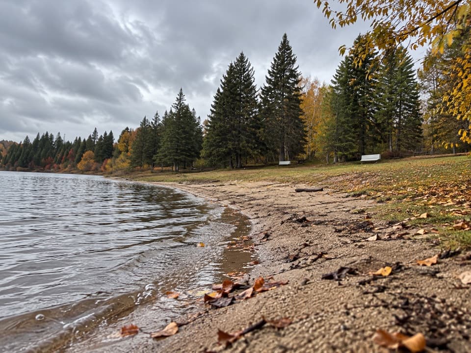
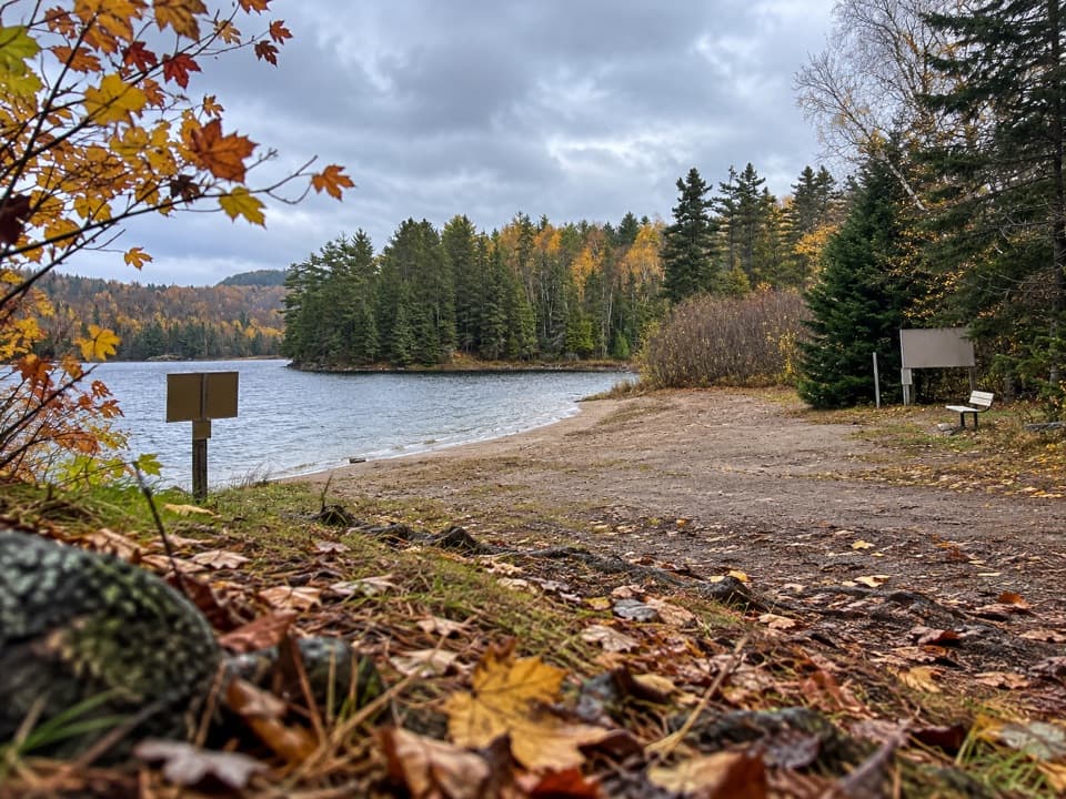
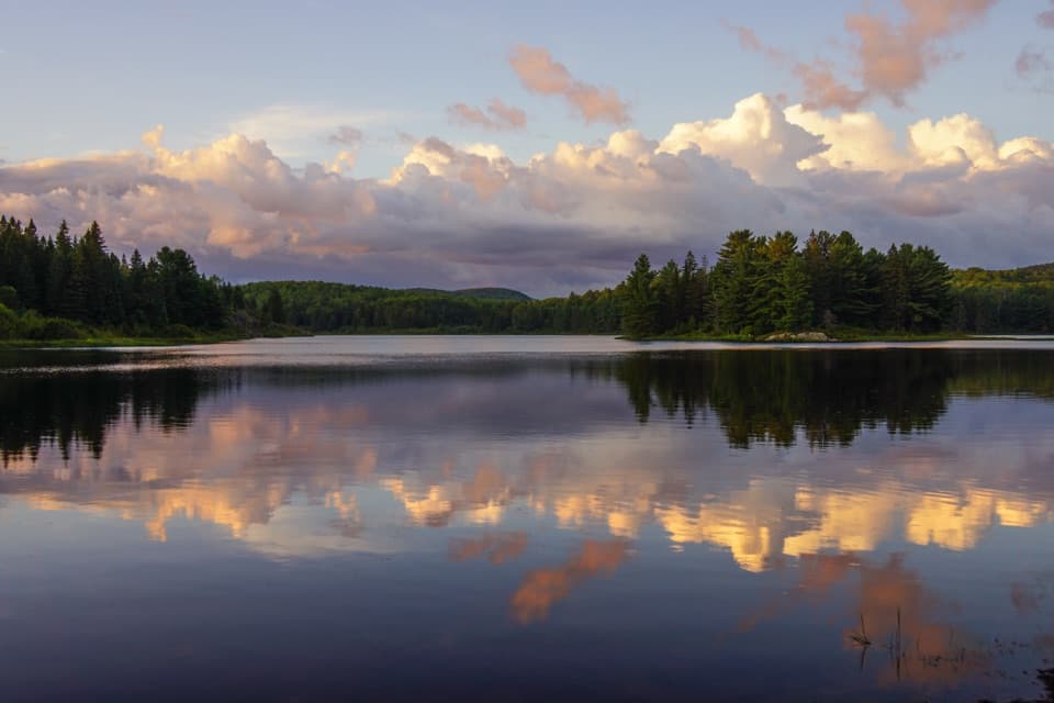
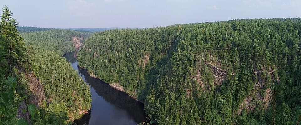
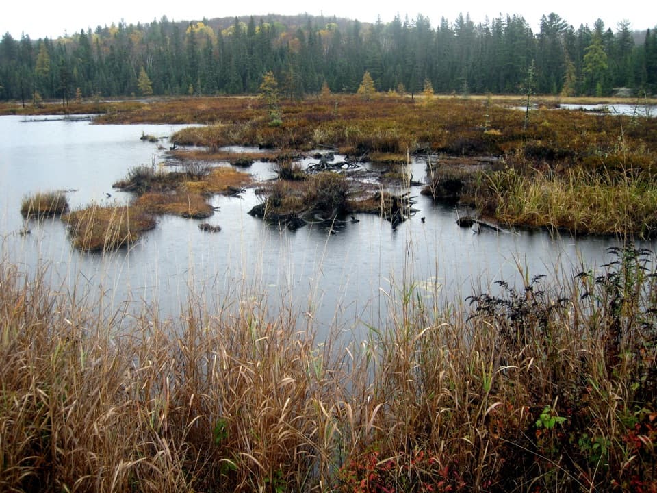
The loop strings together numerous cliff‑edge lookouts, with the most wide‑open, postcard angles near the higher ridge around markers 10–11. Between viewpoints you’ll move through mixed forest and low, wet sections with bits of boardwalk. Keep an eye out for beaver ponds and dams; the trail repeatedly pops out to water.
Trail Character and Tips
Expect constant ups and downs, slick rock after rain, and rooty descents that can pound the knees by late loop. The route is well marked, but there are short side spurs to extra viewpoints—great for photographers, easy to overshoot if you’re moving fast. Sturdy footwear is non‑negotiable; trekking poles help on the steeps. Cell service is spotty. Pack more water than you think you’ll need and real snacks—there’s no refill en route and no trash cans.
Logistics
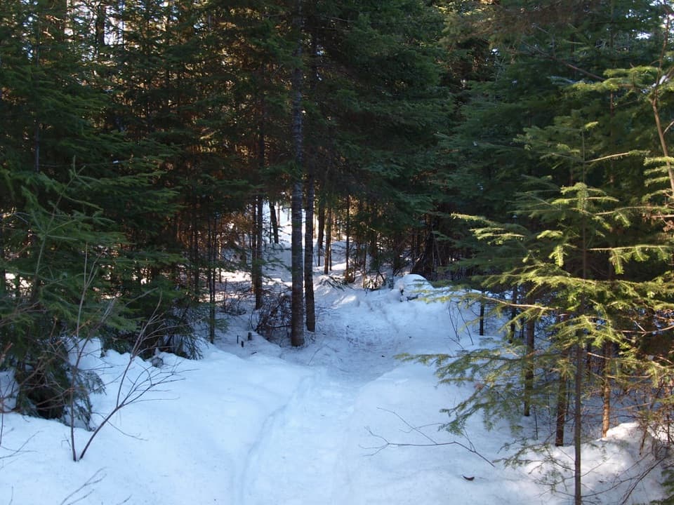
Trailhead is signed off Highway 60 at km 37.6. There’s a parking lot and toilets. A valid daily vehicle permit is required, and advance reservation is recommended in busy seasons. Dogs are allowed but must stay leashed. In winter the access road is gated; you’ll park at Highway 60 and add about 4 km round‑trip just to reach the start. Snowshoes are the smart call after significant snowfall.
Best Time to Hike
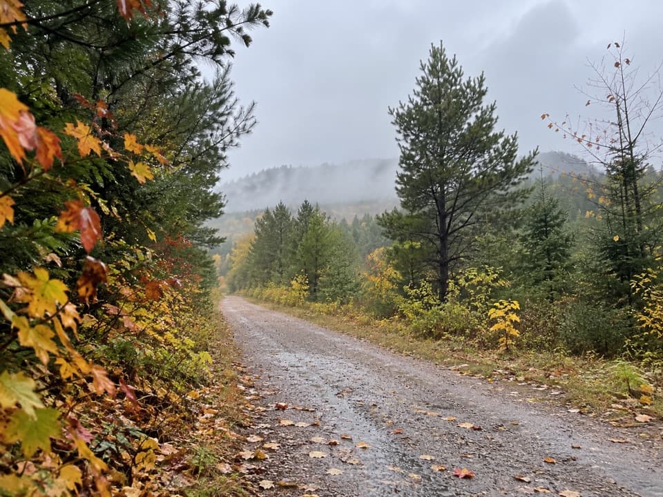
Fall color season (late September to early October) is peak—both for views and crowds. Arrive early on weekends to beat the parking crunch and catch softer morning light on the lakes. Late spring and early summer bring serious mosquitoes and black flies; long sleeves and repellent are your friends. After rain, expect slick rock and mud.
Is It Worth It?
Yes—this is one of the park’s most rewarding view hikes, especially if you like frequent lookouts rather than one summit payoff. If you want similar vistas on a shorter schedule, consider the park’s other short lookout trails, but for a half‑day ridge tour with repeated big views, this is the one. The trail was created for the park’s centennial and doubles as an interpretive loop, so you’ll pick up a bit of history along the way.
Elevation
6.5 mi · 5 hrWhere it starts
45.5564, -78.4199Wildlife on this trail
Near Centennial Ridges Trail
All places →All trails →
0 mi awayCentennial Ridges TrailheadGateway to a tough ridge loop with sweeping lake viewsTrailhead · Parking
0 mi awayCentennial Ridges South LookoutQuiet, south-facing lookout with big Shield-country viewsTrailhead · Parking
1 mi awayWhitefish LakeCalm paddle lake with a group campground and small beachCampground · Restroom
1.2 mi awayPog Lake CampgroundShady, central campground with beaches, showers, and calm paddle waterCampground · Restroom
1.7 mi awayLookout TrailShort, steep loop to a sweeping forest and lakes panorama.Moderate · 1.3 mi · 48 min
1.9 mi awayBig Pines TrailOld-growth white pines and logging history on a mellow forest loop.Easy · 1.8 mi · 1.3 hr
2.8 mi awayBooth's Rock TrailShort, punchy loop to a classic Rock Lake lookout.Moderate · 3.2 mi · 2 hr
3.1 mi awaySpruce Bog BoardwalkEasy loop across two classic bogs with carnivorous plants.Easy · 0.9 mi · 30 min