
Place · 10.6 mi away
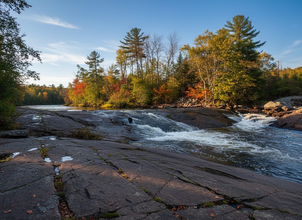
Crooked Chute is a powerful bedrock rapid on the Petawawa River that delivers the full, thunderous drama of moving water. Many paddlers use it as their first major landmark or overnight when descending the Petawawa—there’s even a memorable campsite right near the brink that puts the river’s raw power on display.
This is backcountry canoe territory only—no roads to the chute or the cabin. The classic route starts at Lake Travers (via Sand Lake Gate) and finishes at McManus Lake over 3–4 days (about 48–50 km). Reaching Crooked Chute typically takes a solid day’s paddle from Travers, and the river’s other big features—like Rollway and The Natch—bookend the trip.
Treat this spot with real respect. The approach to Crooked Chute is notoriously hazardous, and most parties portage the lower drop—outfitters even frame it as a mandatory carry, especially in spring high water. Always scout from shore and make decisions based on the day’s levels.
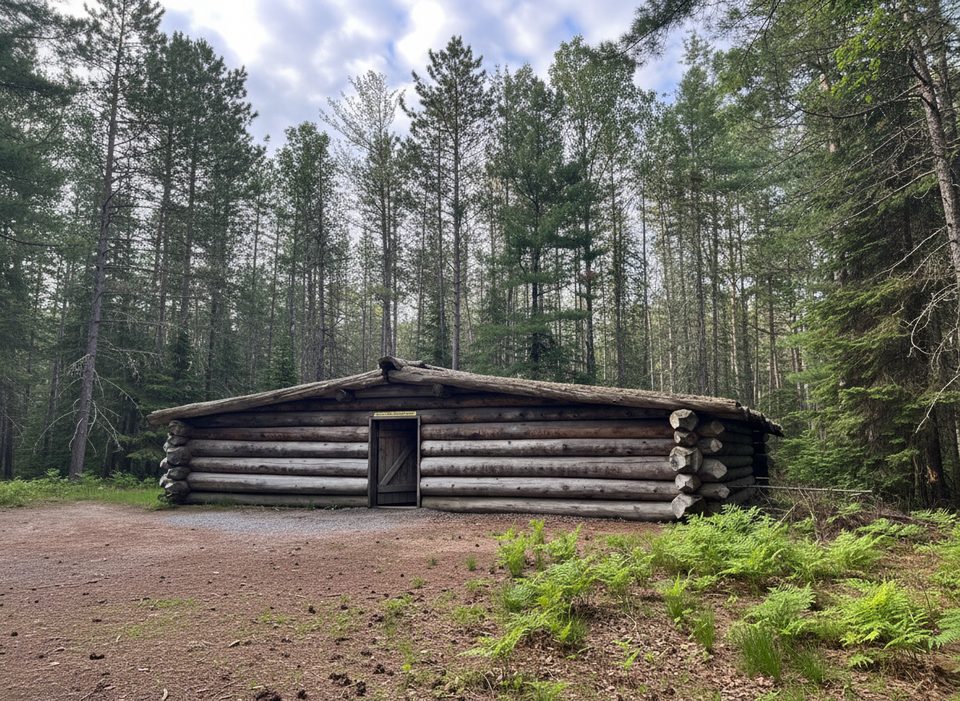
The ranger cabin dates to 1929, built to support the Petawawa log drive, and was reconstructed in 1997 with local logs. You’re camped amid the river’s working history, with memorials in the area underscoring that legacy.
The Petawawa slices through hard Precambrian Grenville bedrock shaped by the last glaciation—hence the tight, forceful chute. Algonquin’s north–south forest transition means diverse wildlife; along this corridor, paddlers commonly spot signs of moose, beaver, wolves, black bear, and plenty of birds.
Spring brings the biggest water and the highest risk—expert territory where portaging is the norm. Late summer and fall usually mean lower, more manageable levels, but you still need to scout. Reservations are required for both interior camping and the cabin, which can book out months ahead. If you can swing midweek dates, you’ll have an easier time landing the cabin or prime sites.
Place · 10.6 mi away
Place · 15.6 mi away
Place · 15.7 mi away
Place · 15.8 mi away
Easy · 18.1 mi away
Moderate · 38.5 mi away
Easy · 39.7 mi away
Easy · 39.7 mi away

Parkwolf Tour Guide
