Parking
Trailhead lot at km 29 of Barron Canyon Road, about 11 km north of Sand Lake Gate.
#1 of 39 trails in Algonquin
Algonquin Provincial Park, ON
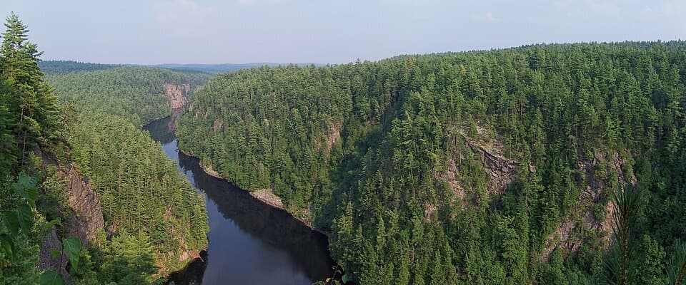
A 0.8-mile rim loop above a 100 m gorge with unfenced edges.
Overview
Map & elevation
Plan your hike

The highest, rockiest slopes around here are a summer buffet for grizzly bears.
Algonquin Tour Guide
Parkwolf is a GPS audio tour guide for Algonquin Provincial Park. As you drive, it chimes in with what’s ahead: hidden gems, upcoming stops, history, geology, and wildlife, right through your car’s speakers.
See the Algonquin audio tourRecorded for this trailhead
Barron Canyon Rim Walk“Barron Canyon's trailhead is coming up, with a short walk to views nearly a hundred metres above the river. The one-and-a-half-kilometre loop climbs steeply at first; allow forty-five minutes, plus time at the overlooks.”
Plays as you drive up to this trailhead in the Parkwolf Algonquin Tour Guide.
More stories near here in the app
“Fantastic app with many points of information… It’s great to just turn on while you’re driving and it gives you an audio tour of the national Park. We love it!!!!”


Trail guide
Barron Canyon Trail is a short loop on the north rim of the Barron River gorge in Algonquin’s eastern section. The mapped line measures about 1.3 km (0.8 mi); the trail’s published figure is 1.5 km for the same loop, not a different route. Plan on about 45 minutes for the walk, and longer if you stop at the overlooks. The reward is huge for the effort: the dark river sits nearly 100 m below forested walls. If you have time for one short hike on the east side, this is a strong choice. The 11 km drive from Sand Lake Gate is a bigger commitment than the walk itself.
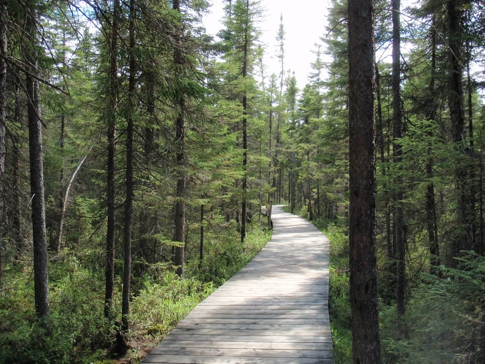
From the parking area, the trail climbs through forest to the open rim, then loops back to the same lot. Walkers consistently describe a steeper uphill stretch early and a gentler wooded return. The elevation profile adds up to about 55 m of climbing, despite the short map distance, which helps explain why the walk can feel more moderate than its length suggests. Give the loop its full 45 minutes instead of hurrying through; stopping at the overlooks is part of the experience. The path is short enough to fit into a larger day, but plan the eastern access road before you set out.
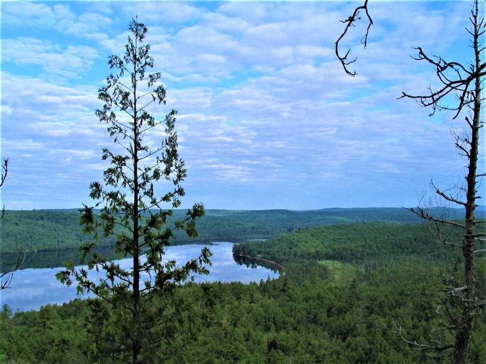
Several openings look into the narrow gorge from the north rim. The Barron River threads between steep cliffs with a continuous forest canopy beyond it, and the angle shifts as the loop follows the rim. For a photo, keep both the river and opposite wall in frame so the drop has scale. The cliff is high and unfenced, though, and a fall would be fatal. Keep children close, keep dogs leashed, and take the view from well back from the edge.
Six interpretive stops along the loop explain the canyon’s formation and history. The gorge follows a fault zone linked to the Ottawa-Bonnechere Graben, where fractured bedrock left a weaker path for erosion. During the postglacial drainage of Lake Algonquin, a substantial meltwater channel passed through this part of the park; the canyon carried one branch of that larger outflow. The viewpoints you visit today were once separated from surrounding high ground by far more water. It helps explain why the river sits so far below the rim and why this gorge is such a striking feature of the eastern park.
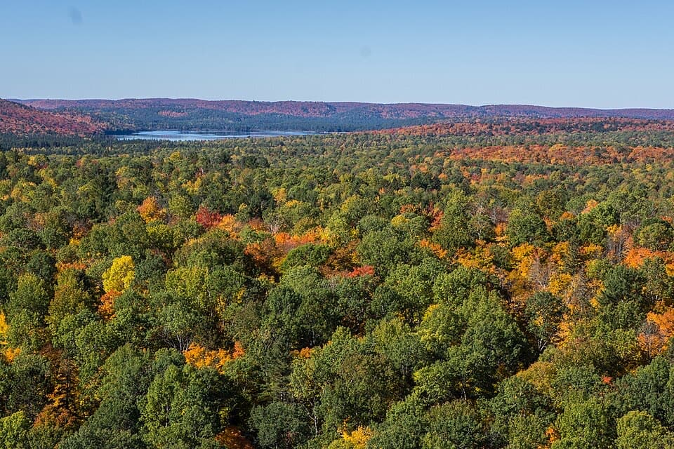
The canyon’s back slopes hold a mix of red and white pine, aspen, birch and white spruce, with eastern hemlock and cedar on cooler, steep faces. Seepage along fractured rock carries calcium into small pockets; those conditions support plants that prefer calcium-rich ground and are uncommon elsewhere in the park. Much of the walk is under trees, then the canyon opens at the rim. Notice the contrast between the forested plateau and the steep, sheltered gorge below, but stay on the path near the cliffs.
The parking lot is at km 29 of Barron Canyon Road, about 11 km north of Sand Lake Gate. Get your Algonquin park permit before driving out; it is required for trail use. Dogs are allowed on leash, which matters beside an open rim. If you want to see the canyon by canoe, separate access is available from the Brigham Lake or Barron River parking areas. That gives you a view from the water rather than from the north-rim loop.
Wildlife
 1,237 sightingsMooseMost seen around 6 AMSighting map
 245 sightingsEastern WolfMost seen around 7 PMSighting map
 331 sightingsBlack BearMost seen around 7 PMSighting map
 604 sightingsLoonMost seen around 6 PMSighting map
 110 sightingsBald EagleMost seen around 11 AMSighting map
 192 sightingsRiver OtterMost seen around 6 PMSighting map
Sighting maps show where each species has been reported across Algonquin. Wildlife moves, so no sighting is guaranteed.
Keep exploring
 ModerateHigh Falls Trail (Barron Canyon Road)8.5 km · 3.5 hr · 3.9 km awayFollow a forest path to a natural waterslide on the Barron River
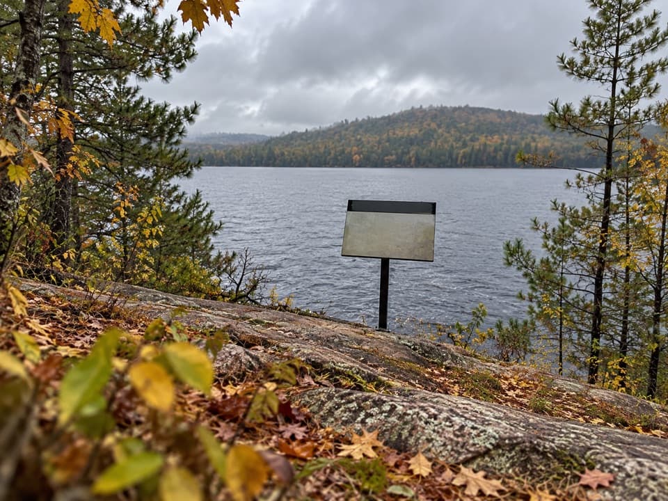 EasyJack Pine Trail1.6 km · 45 min · 9.6 km awayA quick shore walk to the story behind Tom Thomson’s Jack Pine.
 ModerateBerm Lake Trail4.5 km · 1.5 hr · 9.7 km awayA pine forest loop with a boardwalk and views across Berm Lake.ChallengingEastern Pines Backpacking Trail19.3 km · 8.5 hr · 9.7 km awayA long lake-and-forest loop ending at a granite waterslide.
 Sight · 0.5 km awayBarron Canyon LookoutA 100-metre canyon drops away below a string of open rim views.Sight · 5.7 km awayHigh Falls and Natural WaterslideA smooth granite chute links a chain of Barron River pools.
 Sight · 6.6 km awayMcManus Lake Access Point (#21)A canoe pickup point for Petawawa River trips.
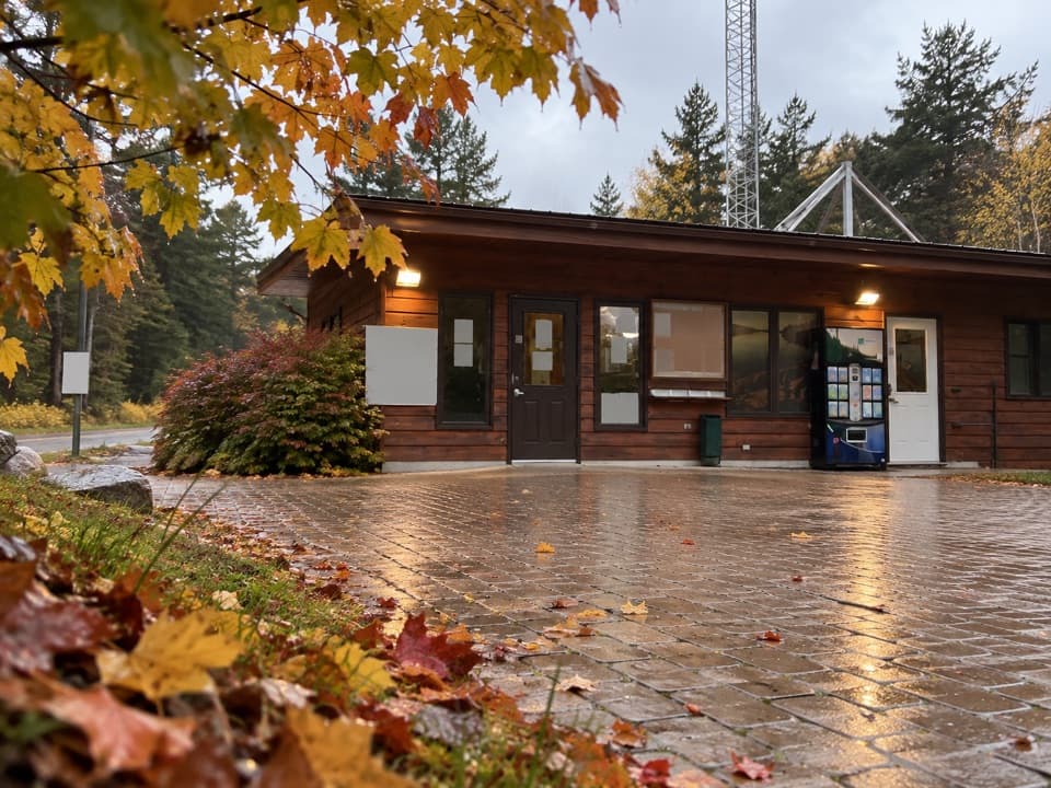 Entrance station · 7.9 km awaySand Lake GateA useful permit and information stop before Algonquin's East Side.
 Sight · 9.6 km awayThe Jack Pine SiteFollow a famous painting story to a changed lakeshore.
 Campground · 9.8 km awayAchray CampgroundA remote lakeside base for canoe routes, sandy beaches and forest walks.
Parkwolf’s Algonquin ranking

The audio tour guide for the drive, plus offline maps, trails, and wildlife heatmaps for when the signal drops.