
Place · 4.8 mi away
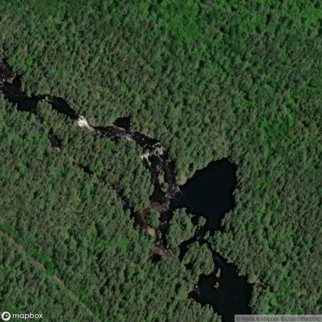
Devil's Chute is a powerful drop on the Petawawa River, tucked deep in the backcountry between Cedar Lake and Radiant Lake. This isn’t a roadside stop—it's a wild, river‑only destination that most trippers portage rather than run. If you’re paddling the Petawawa, it’s one of the big, memorable features in a long chain of rapids.
Expect the sound first: a concentrated chute of fast water compressed over hard Canadian Shield bedrock. It’s scenic in a raw, industrial‑strength way—more about force than a calm viewpoint. Nearby rapids on this reach keep the energy high, making Devil’s Chute a natural pause to regroup, scout, and carry.
Approach via Cedar Lake at the Brent Access Point (#27). From Cedar, you paddle downstream on the Petawawa; Devil’s Chute arrives early in the river sequence. The standard move is to land on river right and take the established portage—roughly 800 m—often described as following an old rail bed. There’s no public road or hiking trail to the chute itself; parking and toilets are back at Brent.
Treat Devil’s Chute as a mandatory portage unless you’re an expert whitewater team with solid reasons otherwise. Spring flows and post‑rain surges amplify hydraulics; even when you’re carrying, wet rock and strong currents demand caution. Helmets and proper whitewater footwear are smart here. Carry a valid backcountry permit, stick to designated campsites, and keep food storage tight.
The Petawawa slices through tough bedrock, part of a geologic corridor that helps create its many chutes and ledges. Historically, this river was a logging highway—today’s portages trace that legacy, giving paddlers safe workarounds for the worst drops.
This valley is classic Algonquin: moose browsing shorelines, beavers and river otters in the current, loons on the lakes, and the occasional black bear along the banks. Wolves roam the broader area but keep to themselves. Observe from a distance and store food properly.
For paddlers, late spring brings big, technical water—serious and committing. Midsummer typically drops levels, exposing more rock and making landings and lining trickier but the carry itself more manageable. Shoulder seasons can be cold with brisk flows. Crowds are rarely an issue here; the challenge is water level and your own readiness, not finding solitude.
Use a detailed canoe routes map and a Petawawa rapid‑by‑rapid guide when building your itinerary. Budget time for scouting and the carry, especially with larger groups or heavy loads.
Place · 4.8 mi away
Place · 5.8 mi away
Place · 6.1 mi away
Place · 6.2 mi away
Moderate · 29.1 mi away
Easy · 29.4 mi away
Easy · 30 mi away
Moderate · 30.1 mi away

Parkwolf Tour Guide
