Brent Campground in Algonquin Provincial Park

Campground · Algonquin Provincial Park

Brent Campground

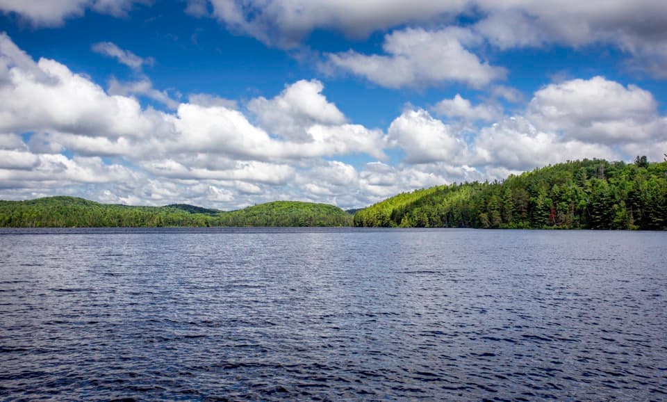
Secluded Cedar Lake camping, at the end of a long gravel road.

Type
Campground
Nearest trail
Right here
Audio stories
2 nearby
  • Restrooms
  • Parking

Hear the audio tour

Brent and Cedar Lake

Overview

About Brent Campground

Why stop

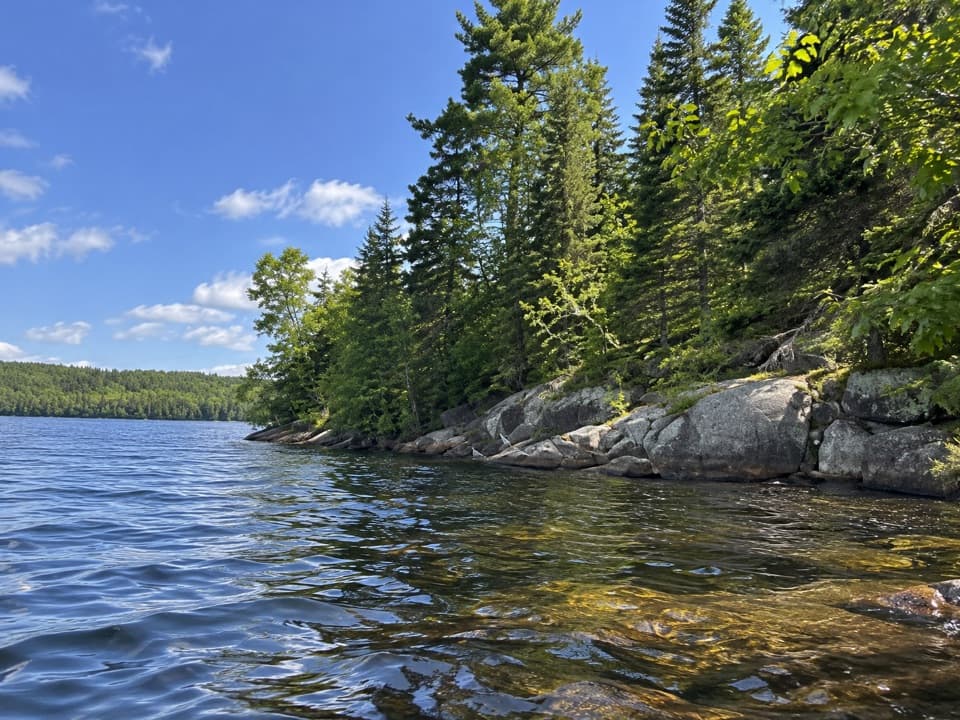
  • Some sites have direct access to Cedar Lake.

Heads up

  • The 40 km gravel approach can take one to two hours.

Map

Where it is

Loading the Algonquin map
Full map
CampgroundBrent Campground46.02566, -78.48628
Keep this map with you offline in the Parkwolf app

Plan your stop

Before you go

4 active Algonquin alerts

  • ClosureProvoking Falls Bridge ClosedThe Provoking Falls bridge on the Highland Backpacking Trail is closed because of safety concerns; the bridge has been removed. - Use the posted reroute, which adds 2.5 km.Official details
  • CautionLow Water on Backcountry Canoe RoutesOntario Parks currently lists low-water alerts for six backcountry canoe-route sections: - Varley Lake from Carl Wilson Lake - Latour Creek north of Rosebary Lake - Carcajou Creek north towards…Official details

See all 4 alerts
A park ranger sits on a dash-mounted phone, talking, as Parkwolf’s Tour Guide plays “Army Cutworm Moths: A Grizzly Bear Buffet” on Grand Loop Road below Dunraven Pass in Yellowstone
Parkwolf Tour GuideThe highest, rockiest slopes around here are a summer buffet for grizzly bears.

Algonquin Tour Guide

Your drive to Brent Campground, narrated.

Parkwolf is a GPS audio tour guide for Algonquin Provincial Park. As you drive, it chimes in with what’s ahead: hidden gems, upcoming stops, history, geology, and wildlife, right through your car’s speakers.

See the Algonquin audio tour

Recorded for this place

Brent and Cedar Lake
0:00 / 0:35
“You're nearing Brent on Cedar Lake, a small campground and paddling base with a much bigger past. By the early nineteen hundreds, this logging and railway settlement had several hundred residents, a school and a church.”

Plays as you drive up to Brent Campground in the Parkwolf Algonquin Tour Guide.

More stories near here in the app

  • Count the Carry, Too
  • Brent Crater Observation Tower
  • A Beaver's Underwater Pantry
  • Drilling into Brent's Past
  • 107 audio storiesacross Algonquin’s roads, triggered by GPS as you drive
  • Wildlife heatmapsfor Moose, Eastern Wolf, Black Bear, and 13 more
  • Works offlinemaps, 39 trails, 66 places, and audio download before you lose signal
  • CarPlay readysimple controls built for the drive
★★★★★
“Fantastic app with many points of information… It’s great to just turn on while you’re driving and it gives you an audio tour of the national Park. We love it!!!!”
JMJamesApp Store review
Download Parkwolf on the App StoreGet Parkwolf on Google Play

4.7 from 8,600+ ratings

Guide

More about Brent Campground

A remote base on Cedar LakeBrent Campground is a small developed campground on the north side of Algonquin Provincial…

Brent Campground is a small developed campground on the north side of Algonquin Provincial Park, with about 30 sites beside Cedar Lake. Some campsites have direct water access, and there is a beach and boat launch. It normally operates from mid-May to late October. I'd choose it for a quiet place to camp and paddle; the long drive makes it a poor pick for a quick stop.

Allow time for Brent RoadFrom Highway 17 near Deux Rivières, gravel Brent Road runs about 40 kilometres to the…

From Highway 17 near Deux Rivières, gravel Brent Road runs about 40 kilometres to the campground; this is usually a one-to-two-hour leg. Expect a winding route, washboard sections and narrow bridges, with truck traffic on the first stretch. Take your time: the approach is a substantial part of the trip.

Plan for a simple stayThe wooded sites are well separated, and a few sit right by the lake.

The wooded sites are well separated, and a few sit right by the lake. There are no electrical sites and no restaurant in Brent. The outfitter shop in the settlement has a limited selection of groceries and camping supplies, so bring the food and gear you need. Restrooms are available, but descriptions conflict on whether the toilets are flush; confirm the setup before booking if that matters to you.

Brent was once a railway townAlexander Sherriff camped near Cedar Lake in 1829.

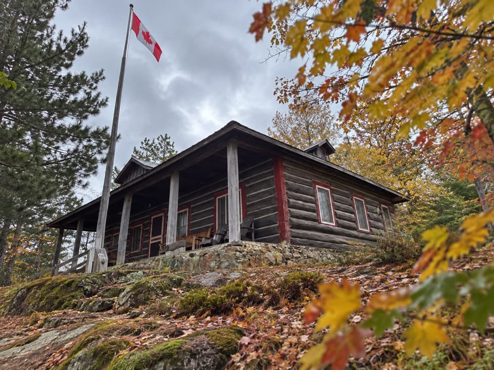
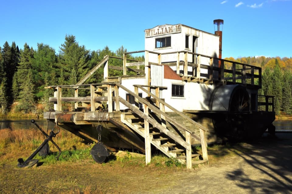
Alexander Sherriff camped near Cedar Lake in 1829. Logging brought a settlement here in the 1850s, and by the early 1900s Brent had a school, a church and about 400 residents. The Canadian Northern Railway carried daily passengers to Brent before its service was rerouted and the tracks were removed in 1997. The nearby Brent Historic Walking Trail helps tell that story.

Wildlife

Wildlife in Algonquin

All Algonquin wildlife maps

Sighting maps show where each species has been reported across Algonquin. Wildlife moves, so no sighting is guaranteed.

Parkwolf’s Algonquin ranking

Top sights in Algonquin

All 66 places
  1. 1Barron Canyon LookoutSight
  2. 2Algonquin Logging MuseumSight
  3. 3Lake Opeongo Access Point and Opeongo StoreSight
  4. 4Canoe Lake Access Point and Portage StoreSight
  5. 5Booth's Rock LookoutSight
  6. 6LookoutSight

Take Parkwolf to Algonquin.

The audio tour guide for the drive, plus offline maps, trails, and wildlife heatmaps for when the signal drops.

4.7 from 8,600+ ratings

Download Parkwolf on the App StoreGet Parkwolf on Google Play