
Place · 0.7 mi away
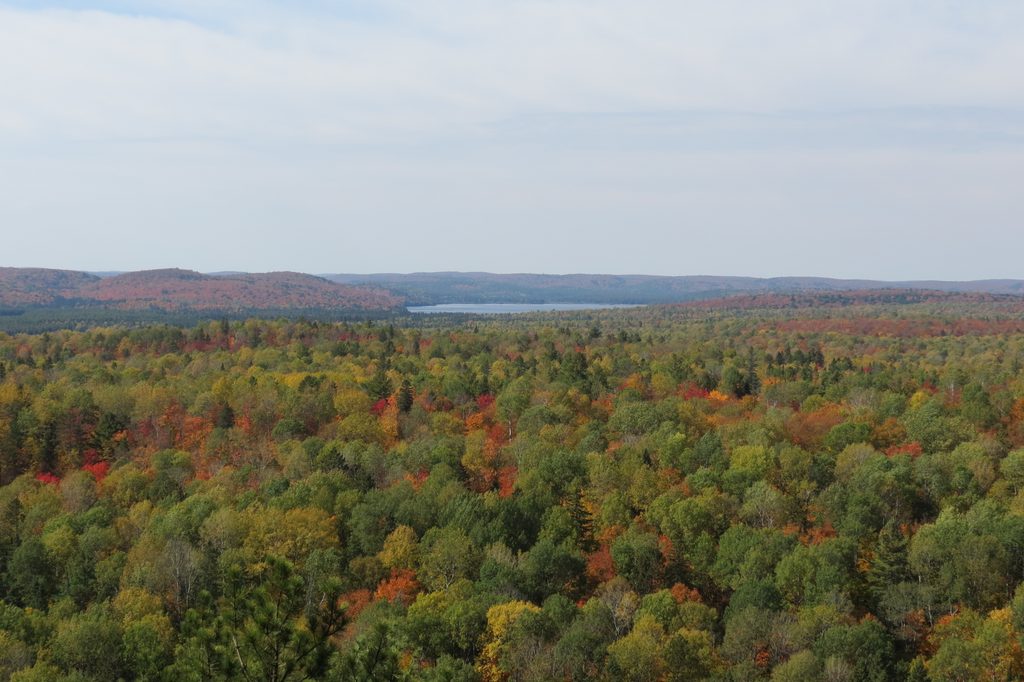
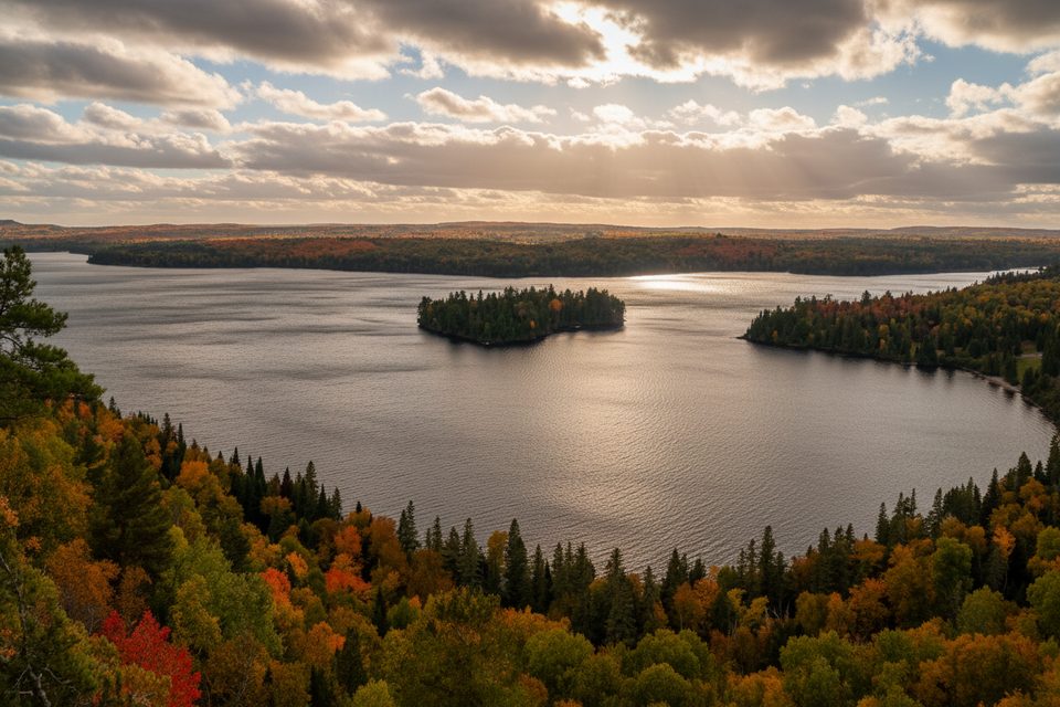
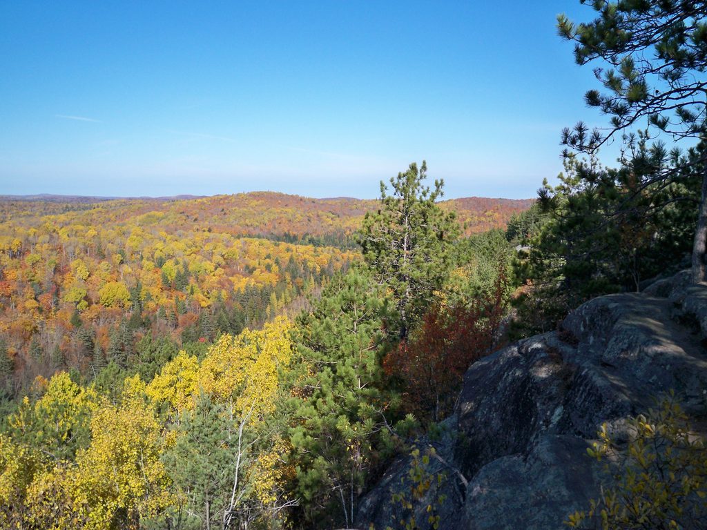
A quick, punchy climb delivers you to a broad cliff ledge with classic views across rolling Algonquin forest and scattered lakes. It’s the payoff everyone wants from a Highway 60 stop—high, open rock, wind in the pines, and a horizon that seems to go forever.
From the lookout, you’re looking over several hundred square kilometers of backcountry. On clear days, you can pick out lakes in the distance—commonly noted are Lake of Two Rivers and Little Rock Lake. Expect red squirrels darting around the rocks and benches, and plenty of room to spread out along the ledge.
The loop is about 2.1 km (1.3 mi) with roughly 70 m of elevation gain. It’s short but steep in places, with crushed stone and some loose gravel. Most people take 30–60 minutes round‑trip, not counting time soaking up the view. Starting right at the initial fork (counter‑clockwise) is the common route to reach the main viewpoint quickly.
Sunrise and sunset light this ridge beautifully. Fall colour season is the jackpot, typically late September into early October, when the hillsides flare with reds and golds. On fair‑weather fall weekends, arrive early or close to sunset to dodge peak crowds.
Parking is in a good‑sized lot off Highway 60; permits are required for day use, and on busy dates day‑use reservations may be in effect per Ontario Parks. There are no restrooms at the trailhead—plan a stop before you arrive. An interpretive trail brochure is often available at the kiosk; grab one for geology and forest context and return it afterward.
The lookout edge is unfenced—keep a safe buffer and mind kids and dogs. Footing can be slick after rain or in winter. Wear shoes with good grip, bring water, and in late spring/summer pack bug spray for mosquitoes and black flies; ticks are present in Ontario, so do a quick check after your hike.
For the best depth in photos, include foreground rock and pines. Golden hour softens the vast forest into layers; in fall, aim for early or late light to avoid glare and bring a headlamp if you’ll descend after sunset.
Place · 0.7 mi away
Place · 1.7 mi away
Place · 1.7 mi away
Place · 2 mi away
Moderate · 0.5 mi away
Easy · 0.7 mi away
Easy · 1.9 mi away
Challenging · 2 mi away

Parkwolf Tour Guide
