
Place · 0 mi away
Challenging
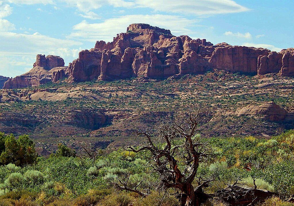
Elephant Butte is the park’s high point (5,653 ft) and the route to it is a semi-technical adventure—not a maintained trail. Expect a mix of hiking, Class 3/4 scrambling, lower-fifth-class moves (around 5.3), and at least one on-route rappel. Most parties treat this as canyoneering with climbing elements rather than a hike.
Plan for about 2.5 miles round trip and 3–5 hours, depending on your route-finding, comfort with exposure, and transitions (rappels, belays, partner assists). The line threads a maze of Entrada Sandstone fins and benches, with short, exposed steps that feel bigger than the stats suggest. It’s not appropriate for beginners.
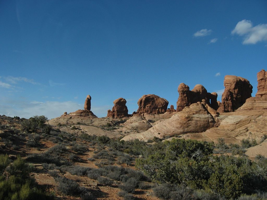
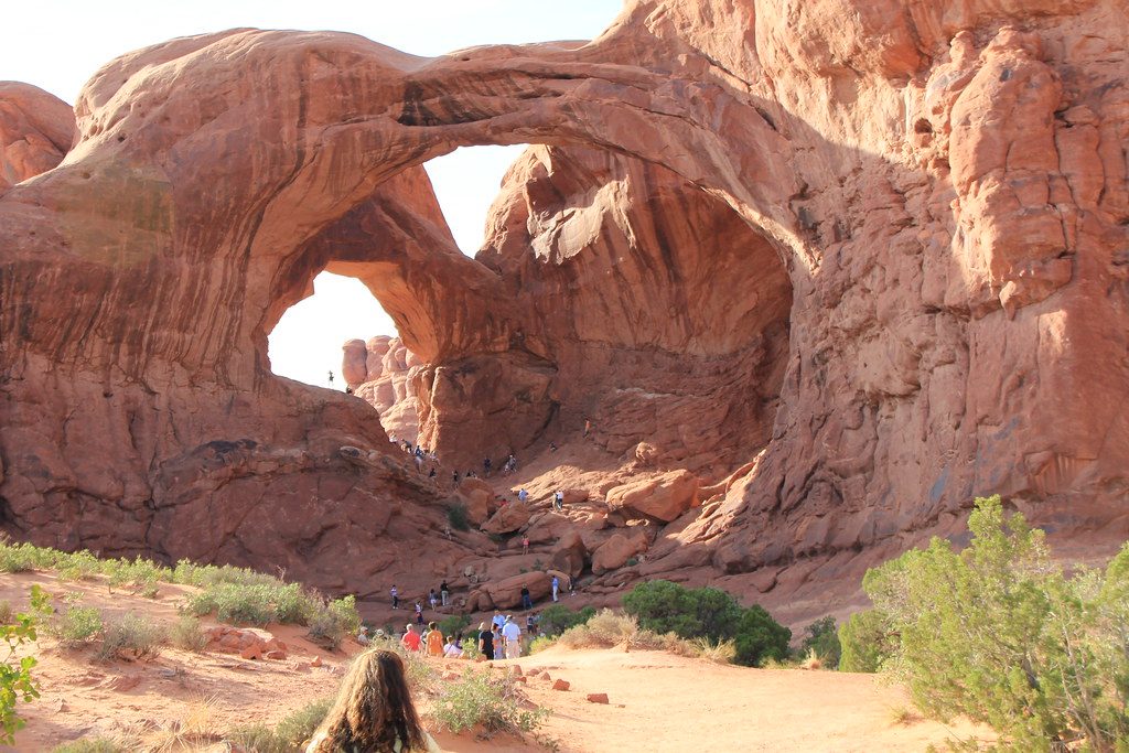
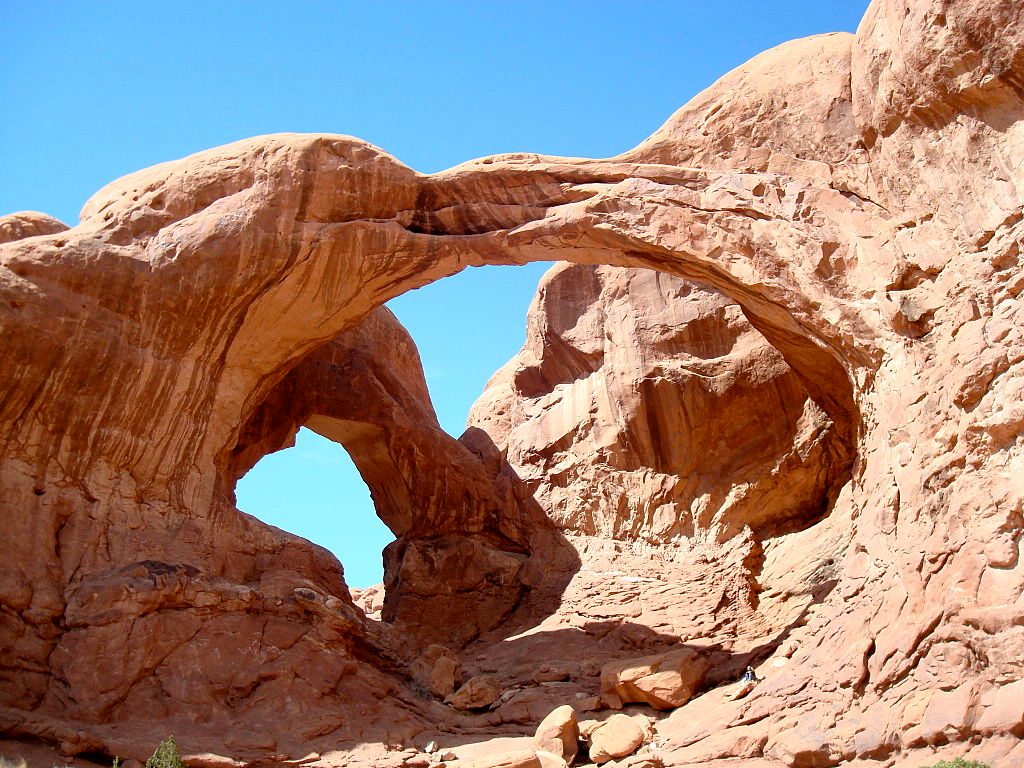
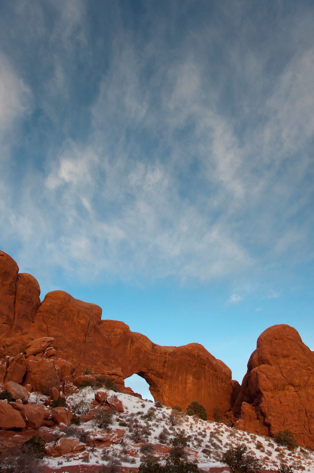
This route weaves through classic Arches terrain—slickrock fins, sandy washes, and sculpted towers—near landmarks like Double Arch and the Parade of Elephants. From the flat-topped summit, the panorama across Arches and the Colorado Plateau is superb and rarely crowded compared to the park’s marquee trails.
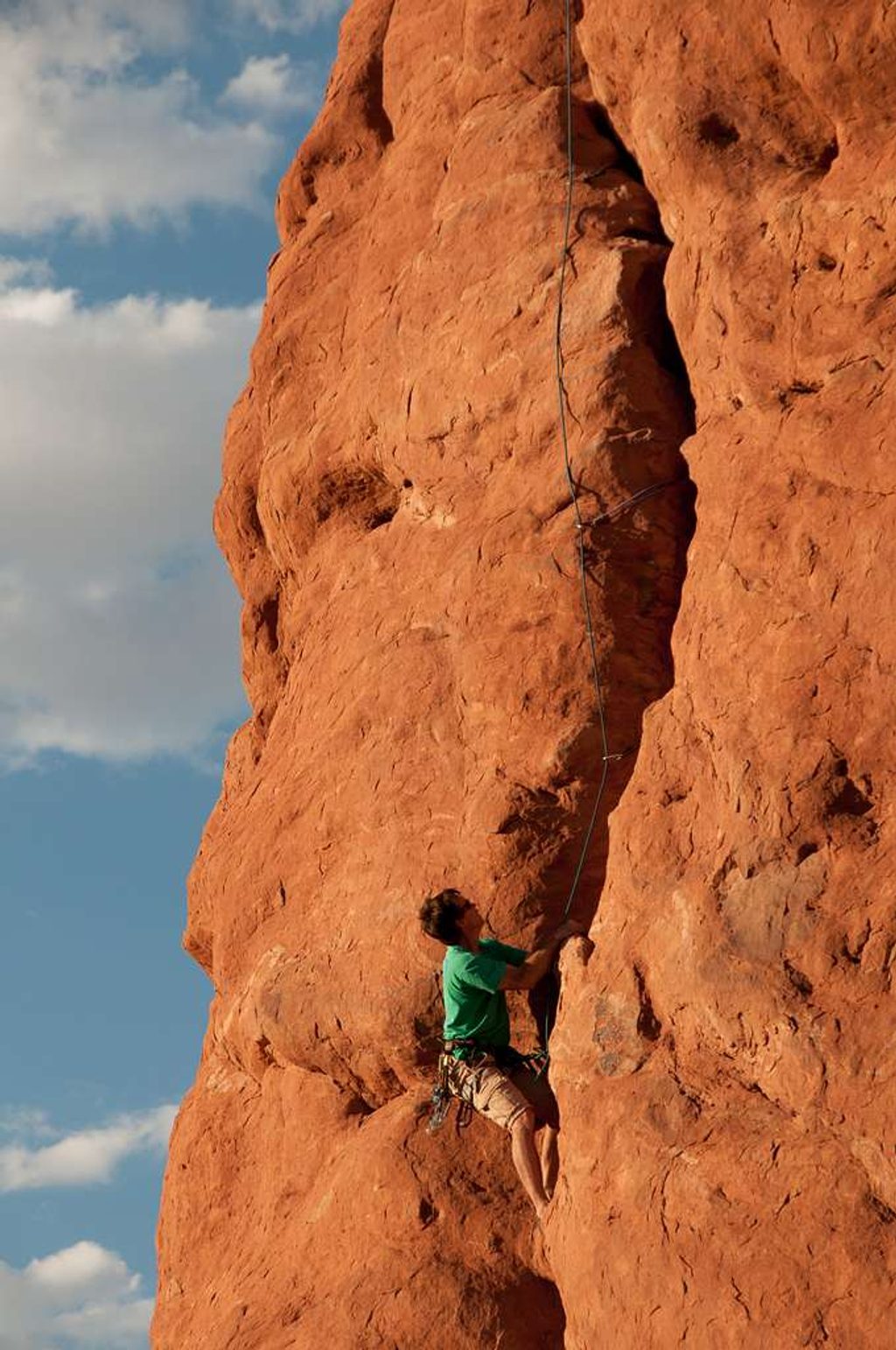
You’ll encounter at least one rappel during the ascent (reports note a long rappel) and a second, shorter rappel on the descent, plus a short crux of easy fifth-class climbing where some parties place minimal protection. Route-finding is unmarked and complex; expect to hunt for the line through the fins and use cairns sparingly and responsibly.
Arches National Park requires a canyoneering permit for routes involving rappelling/anchors. During certain dates and hours, a timed-entry ticket may also be required to enter the park; check current details before you go. Never climb on wet sandstone—it's unsafe and damages the rock.
Bring helmets, a rope (at least 35 m), minimal pro if you plan to protect the crux (small cams like 0.4–0.5 are often cited), anchor material, and solid footwear for slickrock. Study the route in advance and consider carrying a GPS track; the terrain is deceptively confusing. All group members should be comfortable with exposed scrambling and basic rope work.
Spring and fall offer the best combo of temperatures and stable weather. Summer is brutally hot with little shade—start very early if you go then. Avoid days with rain in the forecast and wait for the rock to dry after storms.
Start from the Garden of Eden parking area near Owl Rock along Windows Road. The route trends through the fins toward Elephant Butte; there’s no signed trail—navigation skills are essential.
Park at the Garden of Eden area near Owl Rock along Windows Road; arrive early for shade and to secure a spot.
Technical route with unmarked navigation, exposed scrambling, and rappels; canyoneering permit required, timed-entry may apply; avoid wet sandstone and extreme heat—there’s little shade.
Place · 0 mi away
Place · 0.1 mi away
Place · 0.4 mi away
Place · 0.6 mi away
Easy · 0.9 mi away
Easy · 1 mi away
Easy · 1 mi away
Easy · 1 mi away

Parkwolf Tour Guide
