Overview
About Double Arch
Why stop
- Two towering spans reached by a short, gentle path.
Heads up
- Crowds can make parking and clear views harder.
Map
Where it is

The highest, rockiest slopes around here are a summer buffet for grizzly bears.
Arches Tour Guide
Your drive to Double Arch, narrated.
Parkwolf is a GPS audio tour guide for Arches National Park. As you drive, it chimes in with what’s ahead: hidden gems, upcoming stops, history, geology, and wildlife, right through your car’s speakers.
See the Arches audio tourRecorded for this place
The Windows and Double Arch“You're coming up on the Windows Section, where several huge arches sit close together.”
Plays as you drive up to Double Arch in the Parkwolf Arches Tour Guide.
More stories near here in the app
- Garden of Eden
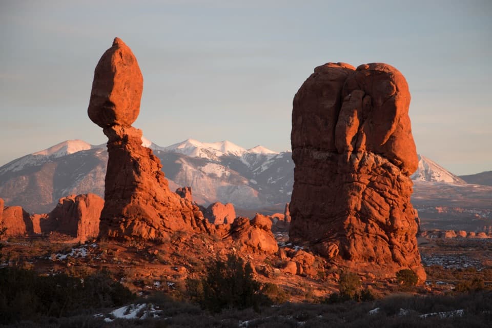
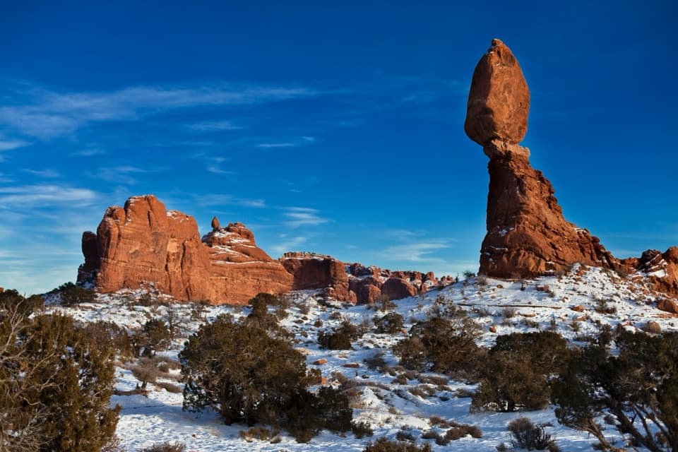
- Balanced Rock
- Panorama Point
- Shrimp Waiting for Rain
- 35 audio storiesacross Arches’s roads, triggered by GPS as you drive
- Wildlife heatmapsfor Bighorn Sheep, Pronghorn, Raven, and 13 more
- Works offlinemaps, 28 trails, 41 places, and audio download before you lose signal
- CarPlay readysimple controls built for the drive
“I can’t believe how helpful this app is and how interesting the information is for each highlight along the Arches Scenic Drive! This is the first park I’ve used it in.”


Guide
More about Double Arch
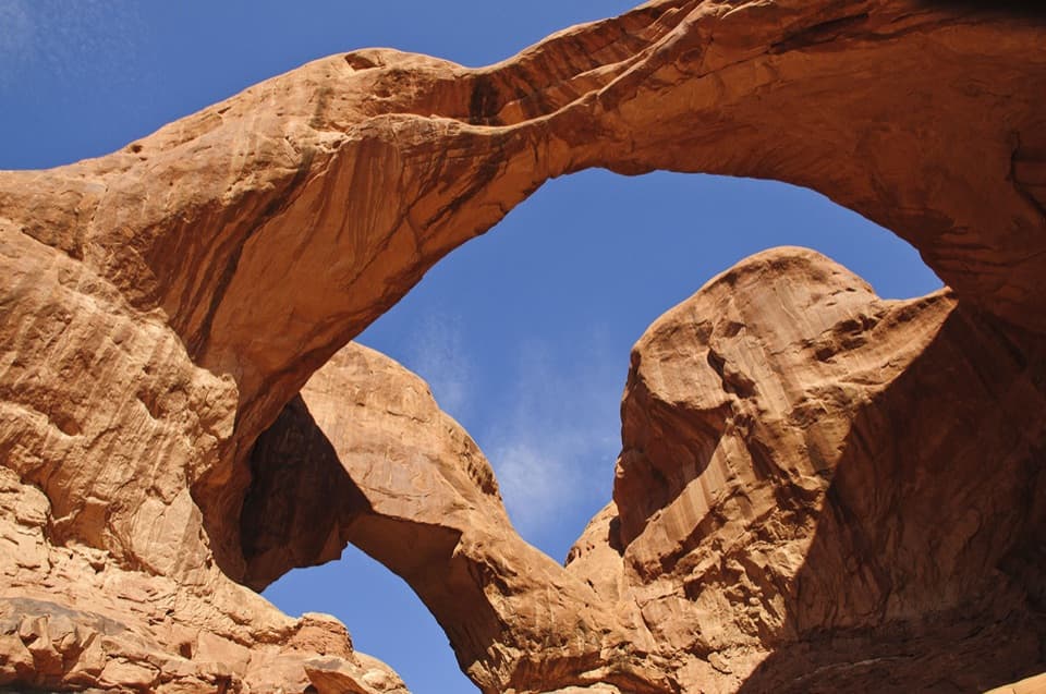
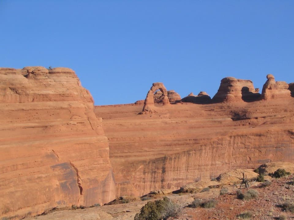
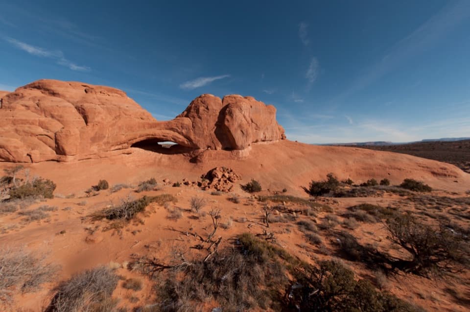
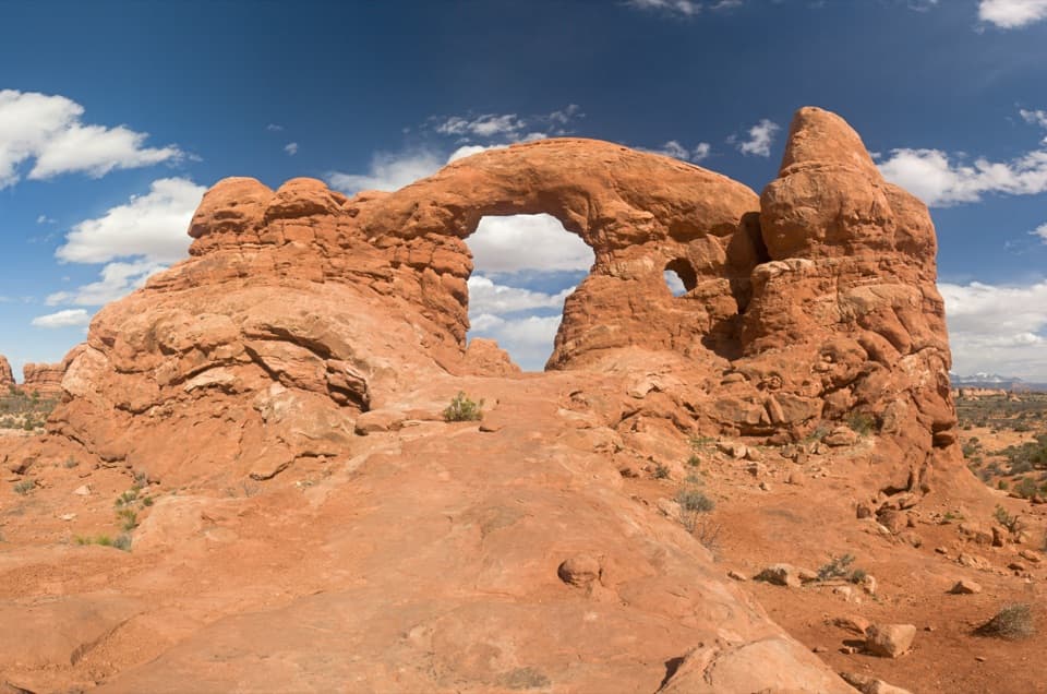
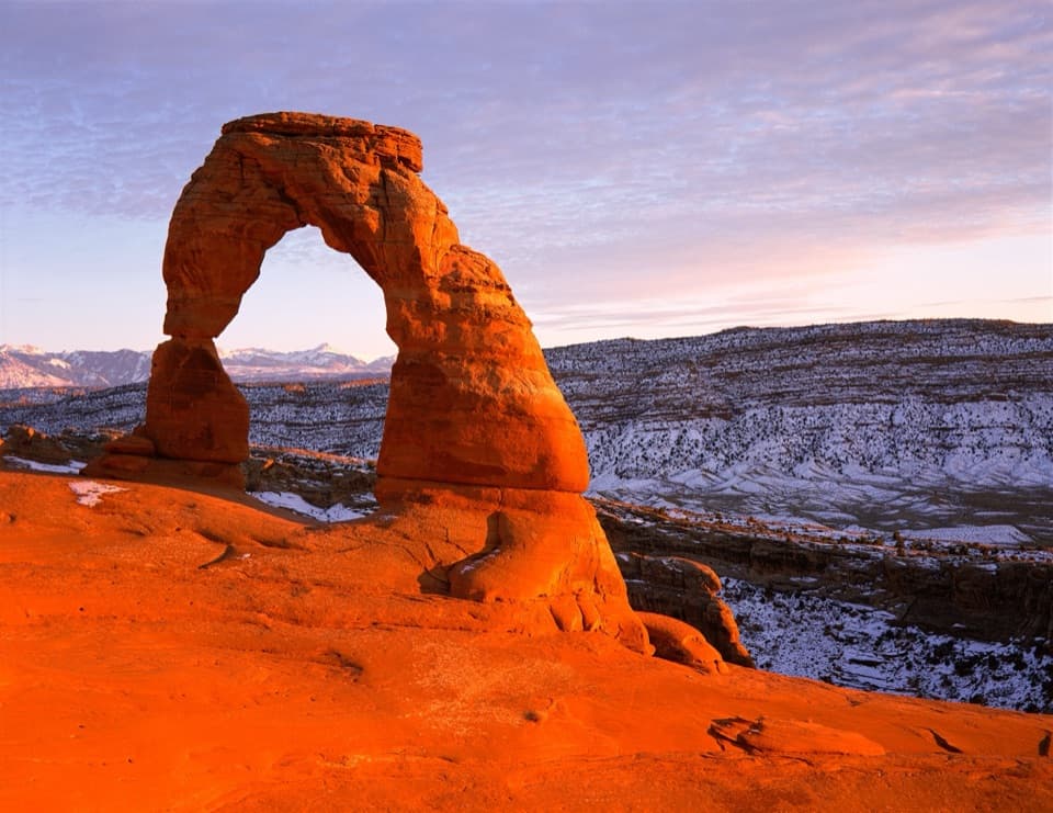
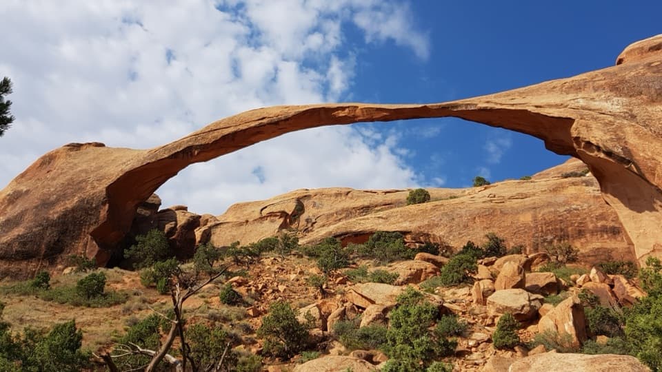
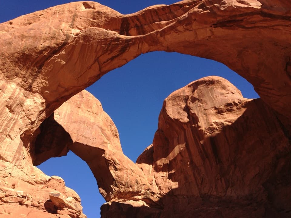
A huge pair of arches for a short walkDouble Arch is two enormous sandstone openings joined at one end in Arches' Windows Section.
Double Arch is two enormous sandstone openings joined at one end in Arches' Windows Section. The southern opening rises 112 feet, the tallest arch opening in the park. It's a striking stop for how little effort it takes: the path is an easy 0.6-mile round trip with about 30 feet of gain, and the park estimates 15 to 30 minutes.
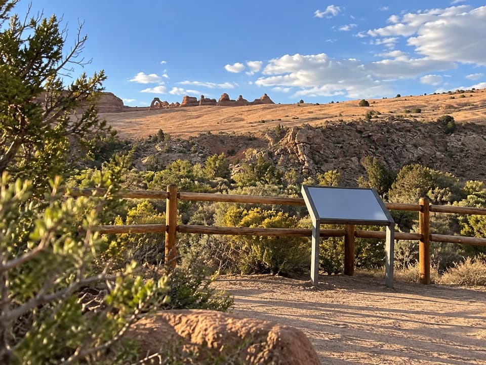
The short walk and what to expectYou can see the arches from the lower parking loop, but the walk to their base makes their…
You can see the arches from the lower parking loop, but the walk to their base makes their scale easier to grasp. The path is gently sloped and hard-packed with gravel. The trailhead has a vault/composting toilet and no drinking water; oversized parking is limited. Dogs aren't allowed on the trail, though service animals are.
The path may be usable by some wheelchair visitors with assistance, but accessibility records conflict. Check with the park before relying on it.
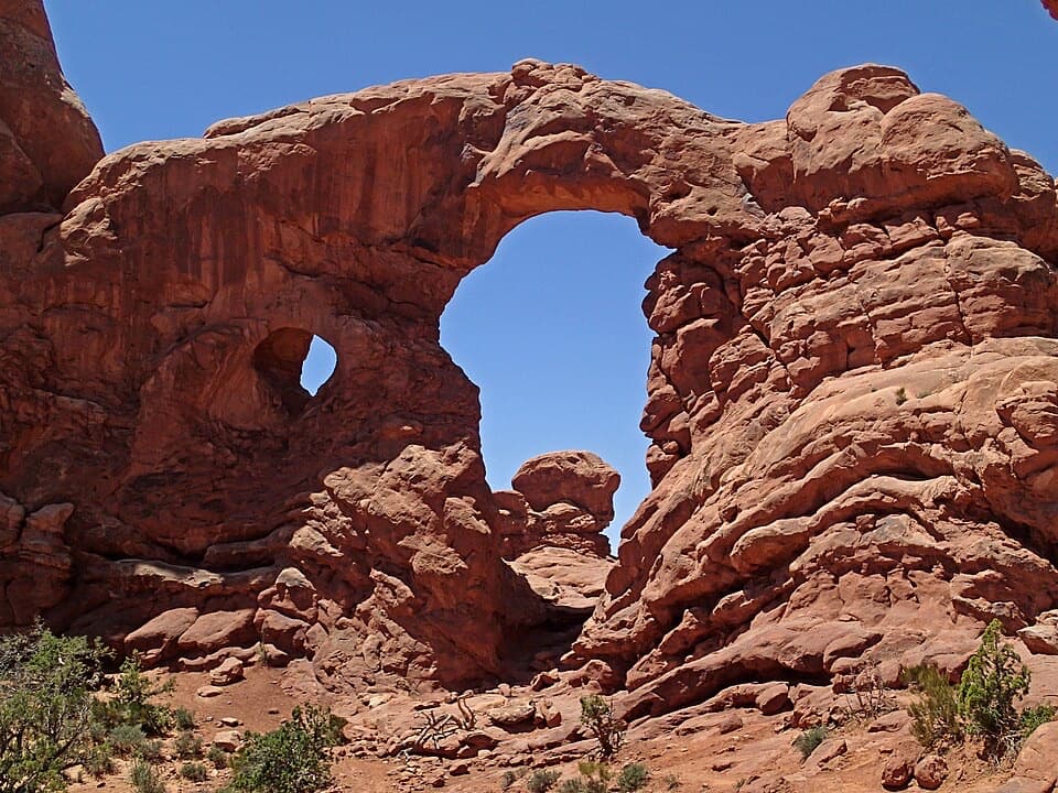
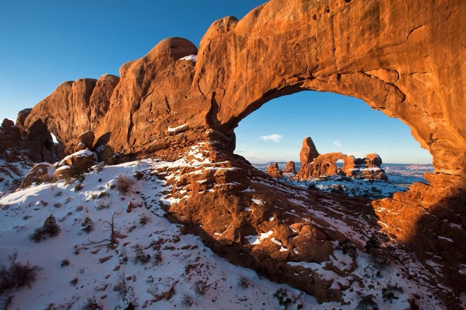
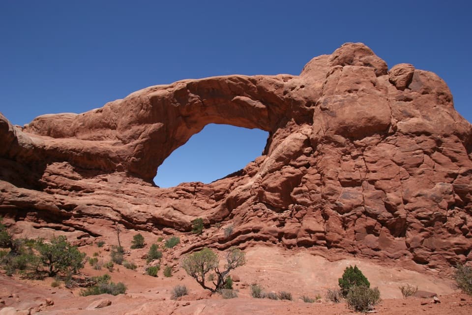
Make it part of a Windows visitThe lower lot also serves North Window, South Window and Turret Arch.
The lower lot also serves North Window, South Window and Turret Arch. A connector path with stairs links it to the upper lot and Windows trailhead, so you can leave the car once and see more of the area. The Windows Section is 12 miles from the park entrance.
Look up from the baseAt the foot of the formation, the two spans cross overhead and meet at one side.
At the foot of the formation, the two spans cross overhead and meet at one side. For a wide view of the connected shape, step back along the established path; from the base, looking upward gives a stronger sense of height. This is a popular stop, so a clear view may take patience. Scrambling onto the rock is optional, and coming down can be harder than climbing up.
Why arches form hereThe park's Entrada Sandstone began as ancient dunes.
The park's Entrada Sandstone began as ancient dunes. Around 65 million years ago, uplift folded and fractured the region's rock, while buried salt pushed upward and split sandstone into long fins. Water gradually dissolves the cement between sand grains, and freezing water widens cracks; erosion thins those fins until openings break through. More than 2,000 natural arches have been documented across the park.
Wildlife
Wildlife in Arches
 14 sightingsBighorn SheepMost seen around 7 AMSighting map
 10 sightingsPronghornMost seen around 7 AMSighting map
 610 sightingsRavenMost seen around 9 AMSighting map
 188 sightingsMule DeerMost seen around 7 PMSighting map
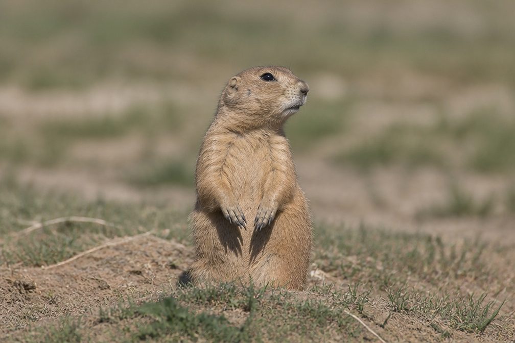 51 sightingsPrairie DogMost seen around 8 AMSighting map
 15 sightingsCoyoteMost seen around 6 AMSighting map
Sighting maps show where each species has been reported across Arches. Wildlife moves, so no sighting is guaranteed.