
Place · 0 mi away
Challenging
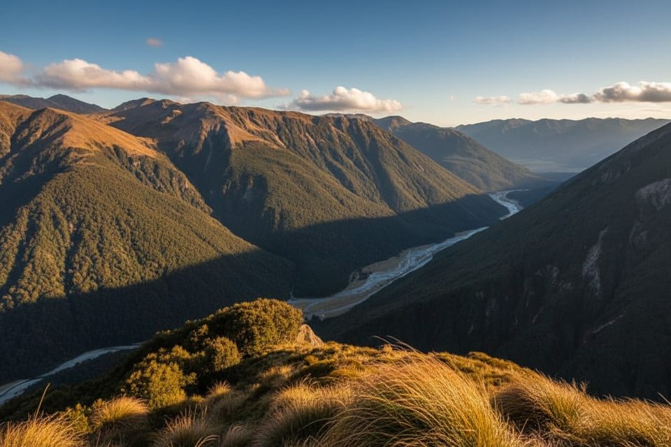
Avalanche Peak is the big, brag‑worthy day mission in Arthur’s Pass: a steep loop linking Avalanche Peak Track and Scotts Track to a 1,833 m summit with huge Southern Alps views. Plan on roughly 6.5 miles total and about 3,600 ft of gain; most fit hikers take 5–7 hours in good conditions. The classic direction is up Avalanche Peak Track and down Scotts Track for a kinder descent.
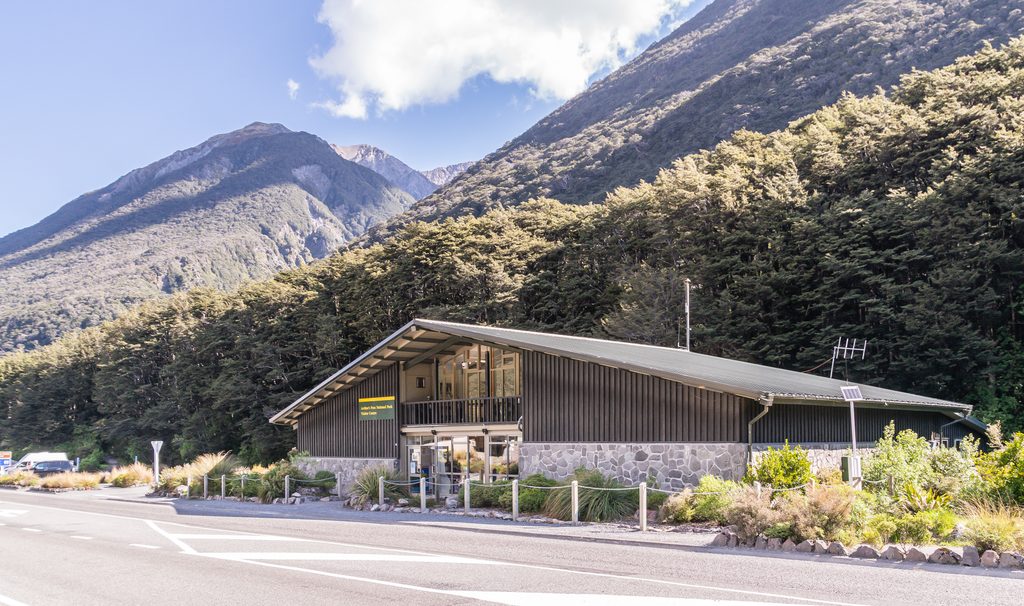
Avalanche Peak Track begins behind the Arthur’s Pass Visitor Centre and climbs quickly beside Avalanche Creek through beech forest to the bushline around 1,200 m—expect hands‑on steepness and some scrambling. Above the bushline, it becomes an alpine route marked by yellow poles across tussock and rocky ribs to a narrow summit ridge. Descend via Scotts Track: from the summit, follow overlapping markers briefly, then pick up the orange‑poled ridge trending toward Mt Cassidy. The upper descent has large boulders and slippery rock before easing below the bushline; the track ends near the Punchbowl car park. Do not try to cut between the two ridges mid‑way—hidden bluffs make that traverse unsafe.
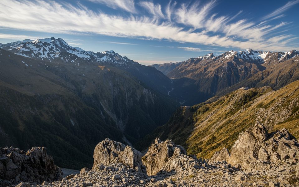
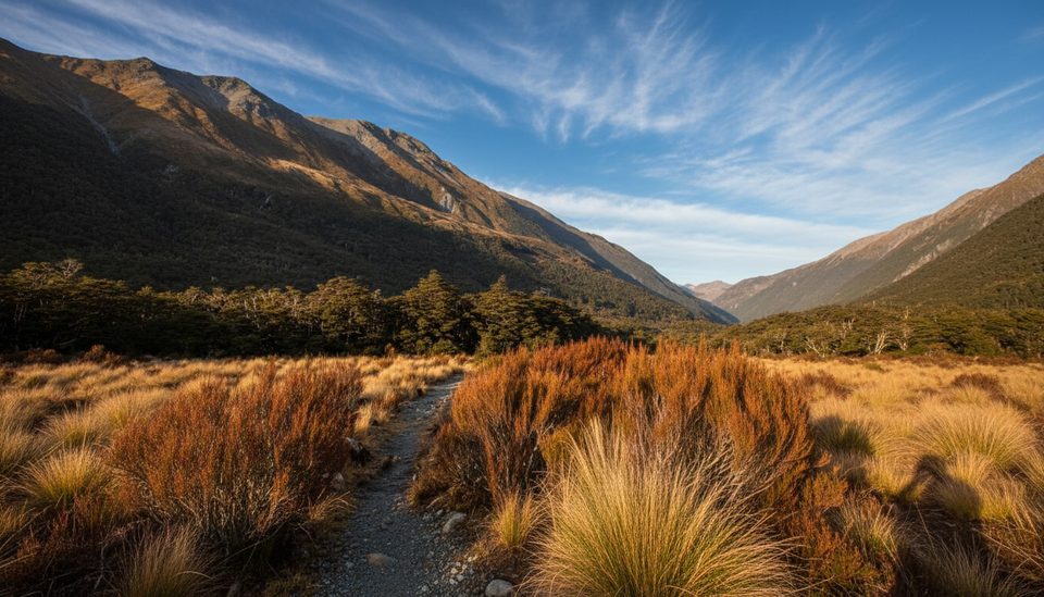
This is exposed alpine terrain: sharp ridges, rock and scree near the top, and real drop‑offs. On a calm, clear day the payoff is massive—glaciated peaks and deep valleys in every direction—and you might share the summit with curious kea. Above the trees there’s no shade; carry sun protection and layers because wind, cloud, and drizzle can roll in fast.
Summer and early autumn bring the most stable weather here. Start early for lighter winds, better visibility, and a comfortable descent window. Avoid days with strong winds or low cloud; if the bushline already felt at your limit, enjoy the views there and turn back.
This track has a reputation: several fatalities have occurred in poor conditions or due to underestimation. In winter and spring the upper slopes are avalanche terrain—only skilled, properly equipped parties should proceed. Year‑round, check the latest forecast at the Visitor Centre, tell someone your plan, and carry plenty of food and water (about 2.5 L per person is a good target), warm layers, waterproofs, navigation, and a PLB. Kea are cheeky—don’t feed them.
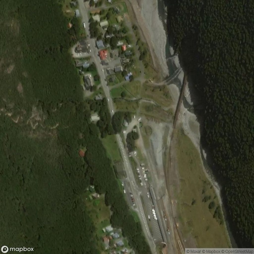
Trailheads are about 700 m apart along SH73 (Visitor Centre vs. Punchbowl). Park at your chosen start (Visitor Centre for Avalanche Peak Track, Punchbowl car park for Scotts Track). Finish the loop at Punchbowl and use village paths/side roads to return—don’t walk the highway shoulder. Reaching Arthur’s Pass is straightforward by car on Highway 73; the scenic TranzAlpine train also serves the village and is scheduled to run seven days a week from July 11, 2025. Accommodation in the village is limited—book ahead.
Start behind the Arthur’s Pass Visitor Centre for Avalanche Peak Track or at the Punchbowl car park (about 700 m west) for Scotts Track. If doing the loop, finish near Punchbowl and use village paths/side roads to return—avoid walking along SH73.
Rapid weather shifts, sustained steep grades, exposed ridges, slippery boulders on the Scotts descent, and avalanche danger in winter/spring. Fatalities have occurred. Do not attempt to traverse between ridges mid‑route; follow the yellow (Avalanche) or orange (Scotts) poles and turn back if wind or visibility deteriorates.
Place · 0 mi away
Place · 0 mi away
Place · 0.1 mi away
Place · 0.1 mi away
Easy · 0 mi away
Easy · 0.5 mi away
Challenging · 0.6 mi away
Easy · 1.5 mi away

Parkwolf Tour Guide
