Parking
Start at the Bealey Valley car park opposite historic Jacks Hut on State Highway 73, about 3 km north of Arthur’s Pass village.
#8 of 49 trails in Arthur's Pass
Arthur's Pass National Park, CB · WC
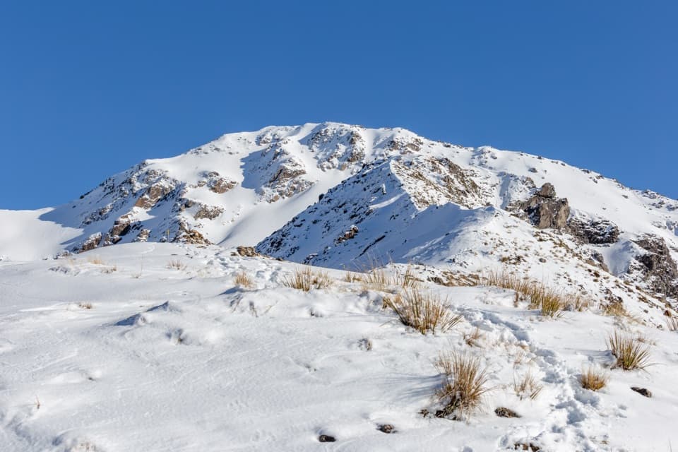
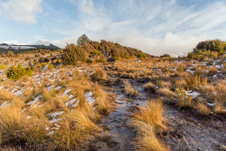
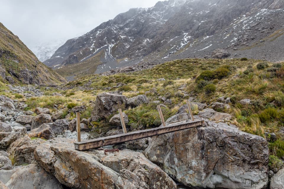
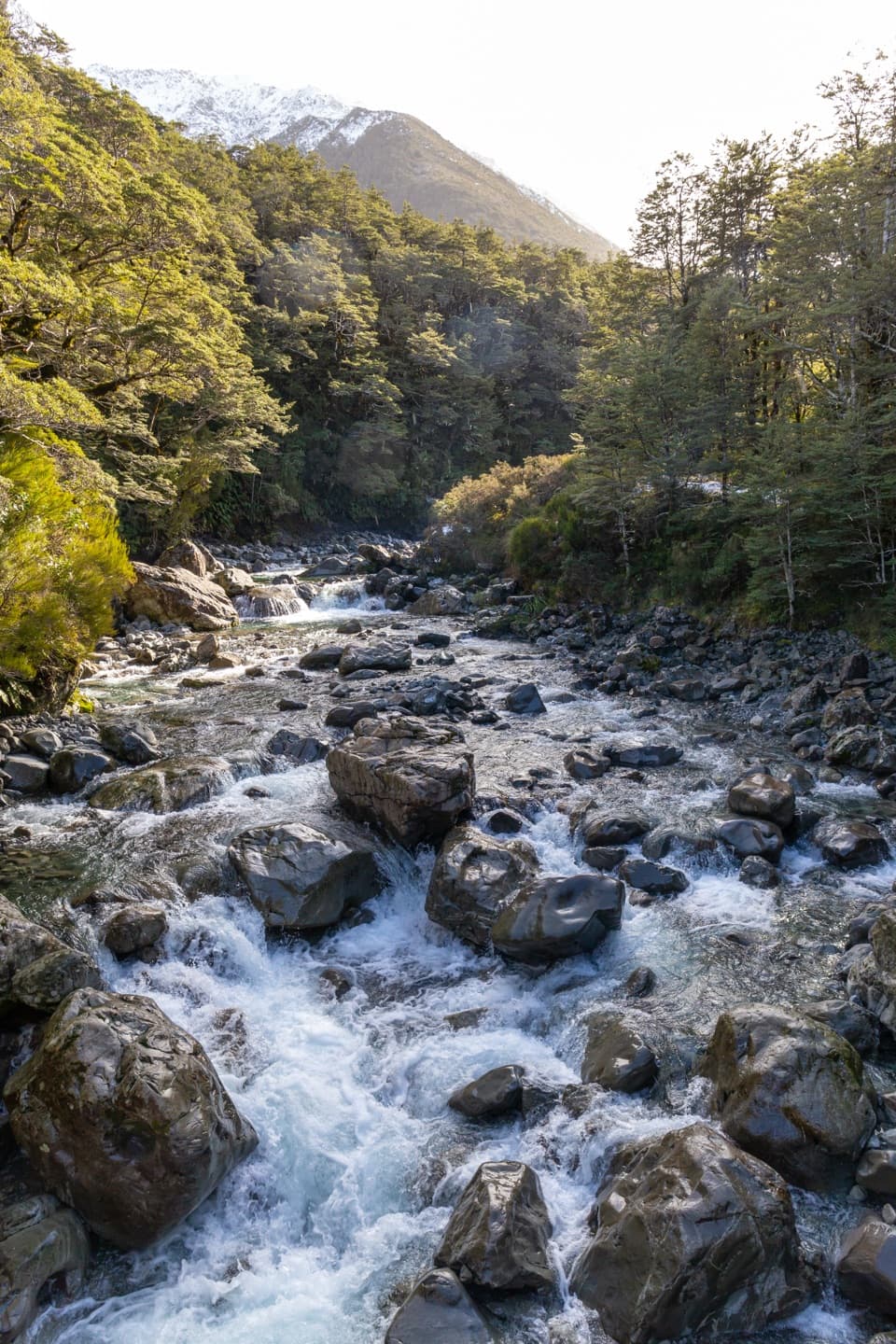
A boulder gorge and a snowgrass clearing framed by Mt Rolleston.
Overview
Map & elevation
Plan your hike

The highest, rockiest slopes around here are a summer buffet for grizzly bears.
Arthur's Pass Tour Guide
Parkwolf is a GPS audio tour guide for Arthur's Pass National Park. As you drive, it chimes in with what’s ahead: hidden gems, upcoming stops, history, geology, and wildlife, right through your car’s speakers.
Recorded for this trailhead
Jacks Hut and Bealey Chasm“You're approaching Jacks Hut and the Bealey Chasm car park, a useful stop for a little road history and a short river walk.”
Plays as you drive up to this trailhead in the Parkwolf Arthur's Pass Tour Guide.
More stories near here in the app
“Fantastic app with many points of information… It’s great to just turn on while you’re driving and it gives you an audio tour of the national Park. We love it!!!!”


Trail guide
Bealey Valley Track is a 2.4 km (1.5 mi) out-and-back from the car park opposite historic Jacks Hut on State Highway 73. It shares a short stretch of Arthur’s Pass Walking Track, crosses Bealey Chasm, climbs to a snowgrass clearing with a view of Mt Rolleston, then returns through beech forest to the Bealey River. Allow about an hour to an hour and a half with stops; the published walking estimate is 25 minutes each way. It’s a good choice when you want a close look at a mountain river and a real valley walk without giving up half a day. If time is tight, the bridge at Bealey Chasm is only about five minutes from the start and makes a natural shorter turnaround.
The walk begins at a small car park across SH73 from Jacks Hut, a green former road-worker’s hut. Follow the shared track for roughly 200 m, then take the left-hand branch down steps into the Bealey Valley Track. The route drops to a bridge across a narrow cut in the river, where water rushes between enormous boulders. That is the quickest payoff on the walk, and the spot to pause before deciding whether to continue. From the bridge, look along the channel so the boulders show how tightly the river is squeezed through the chasm.
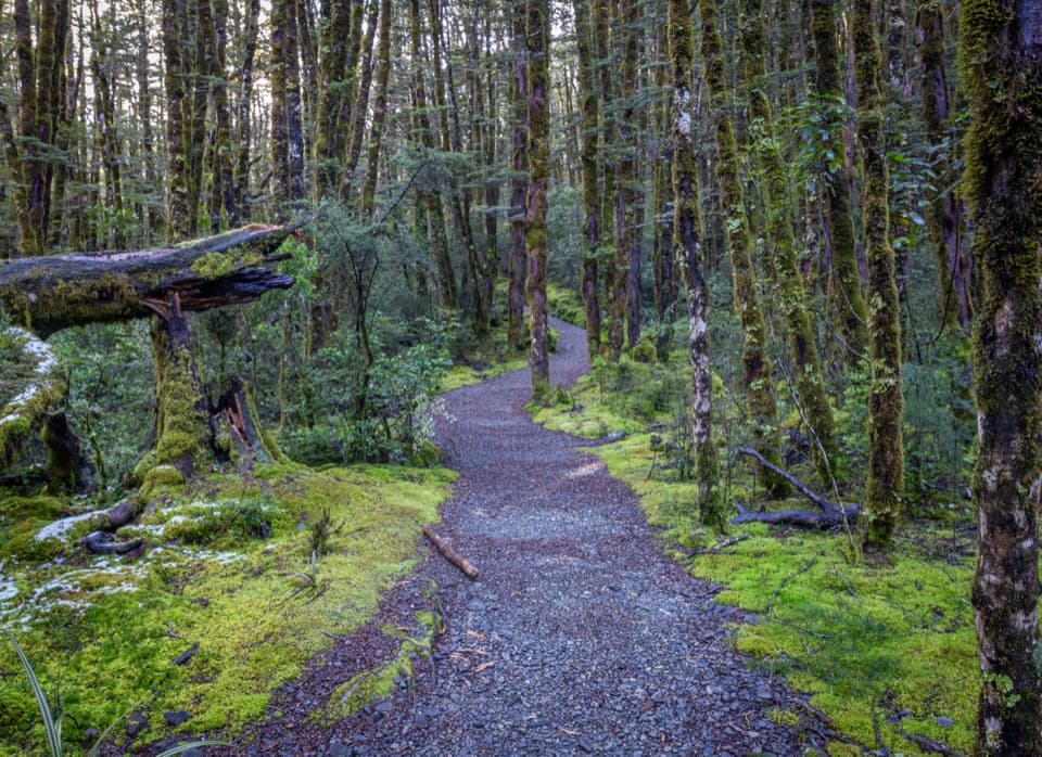
Beyond the bridge the path narrows, with roots, rocks and short steeper patches underfoot. It climbs to a snowgrass clearing, where the trees open and Mt Rolleston comes into view. The track then slips back into mountain beech forest, crossing wet ground on boardwalks and small side streams on bridges, before reaching the Bealey River. The DOC track is rated easy to intermediate, but the upper half feels less like a quick roadside stroll than the Chasm approach. Take your time on the rough footing, especially when the boards and rocks are wet.
The formed visitor track ends beside the Bealey River at an avalanche warning sign. Treat that sign as the turnaround. Some mapped lines continue farther up-valley; the longer line appears to include the separate, unmarked mountaineering access beyond the formed track. That continuation involves steep banks, creek crossings and loose, slippery rock, with avalanche and rockfall exposure. Winter avalanche danger can reach the marked end itself, so heed the warning there and do not continue into the upper valley in avalanche conditions.
The forest is old-growth mountain beech, with a short change to tussock and snowgrass at the clearing. Local route accounts mention South Island robins, tomtits, fantails, riflemen and bellbirds in this forest corridor; listen for them, though sightings are never guaranteed. The bridge gives you the close, river-level view; the clearing is the better place to frame Mt Rolleston above the tree line. Jacks Hut, just across the highway from the car park, is a reminder that this valley road once needed its own workers’ shelter.
Use the Bealey Valley car park opposite Jacks Hut, about 3 km north of Arthur’s Pass village. There is no food or drinking-water stop identified on the track, so bring what you need. Mountain weather can change quickly; a warm layer, rain protection and sturdy footwear make sense even for a short walk. Dogs are not permitted.
Wildlife
 984 sightingsKeaMost seen around noonSighting map
 39 sightingsNew Zealand FalconMost seen around 5 PMSighting map
 190 sightingsBlue DuckMost seen around 5 PMSighting map
 20 sightingsKākāMost seen around 8 AMSighting map
 15 sightingsWekaMost seen around 7 AMSighting map
 15 sightingsParadise ShelduckMost seen around 6 PMSighting map
Sighting maps show where each species has been reported across Arthur's Pass. Wildlife moves, so no sighting is guaranteed.
Keep exploring
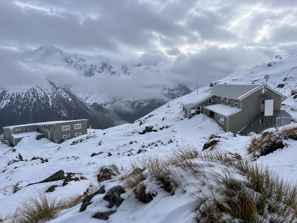 ChallengingTemple Basin Track4.2 km · 3 hr · 0.9 km awaySteep zigzags lead to a tussock basin and alpine ski lodges.
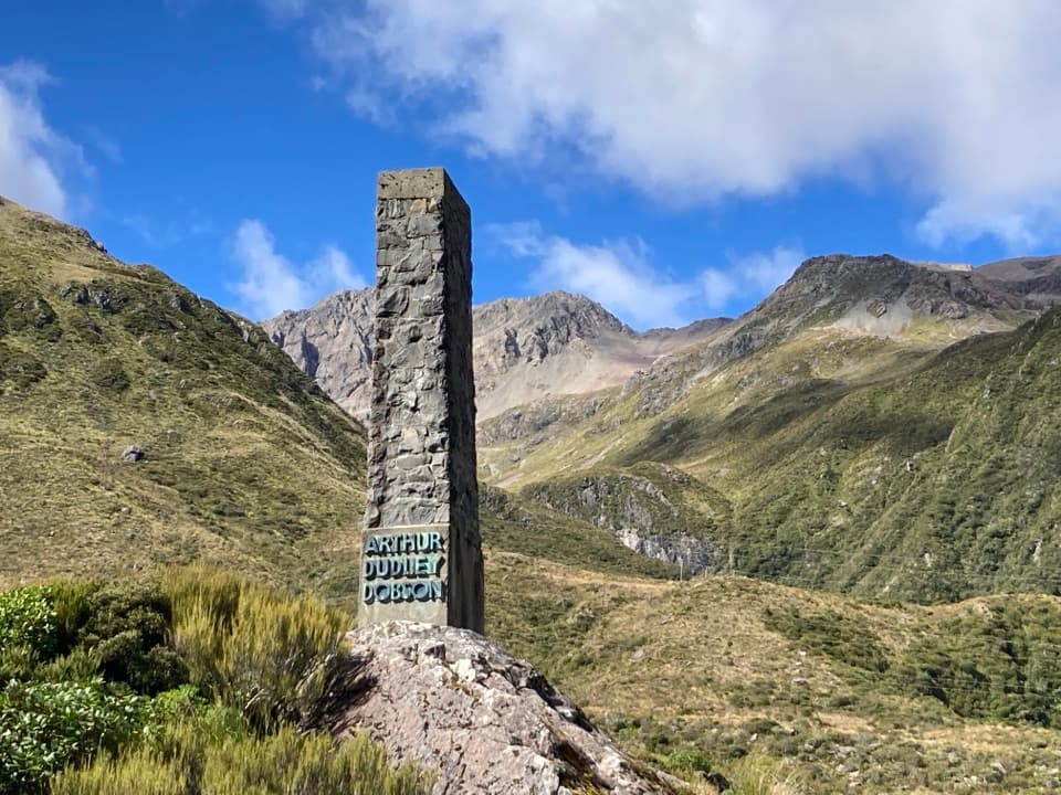 EasyDobson Nature Walk1.2 km · 30 min · 0.9 km awayAlpine flowers and mountain views in a quick out-and-back.
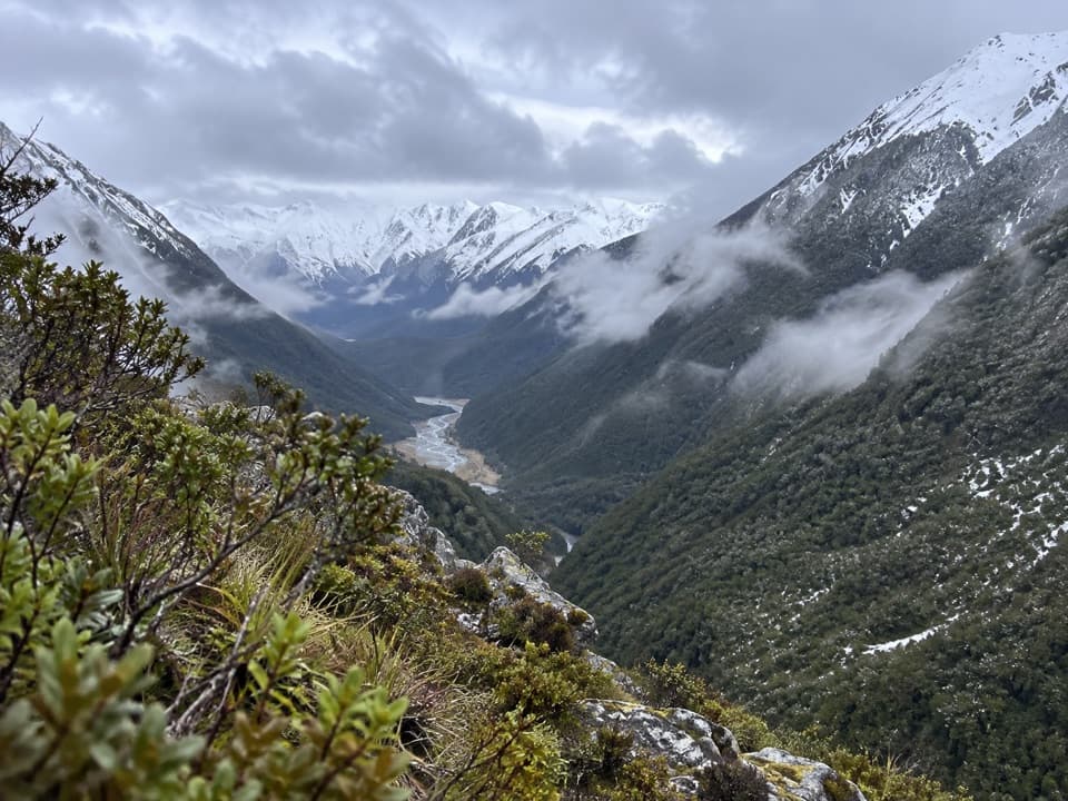 ChallengingCoral Track3 km · 4 hr · 1 km awayA steep climb to treeline above the Bealey Valley.
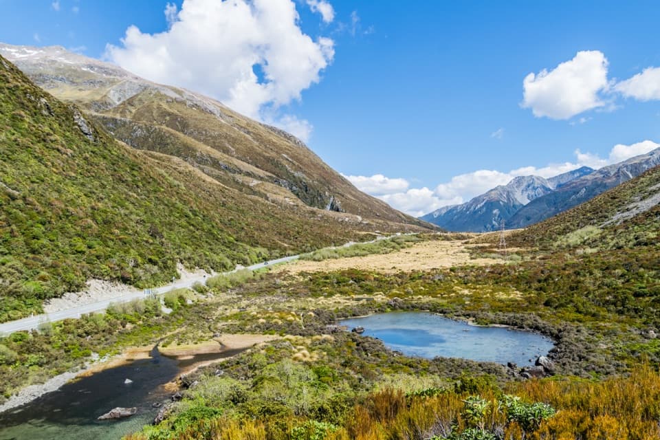 EasyLake Misery Track1.1 km · 25 min · 1.3 km awayA wetland connector, not a standalone loop.
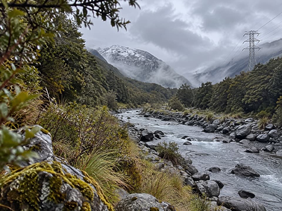 ChallengingMount Aicken Track3.1 km · 3 hr · 1.6 km awayA steep, rooty climb to Mount Aicken's bushline and back.
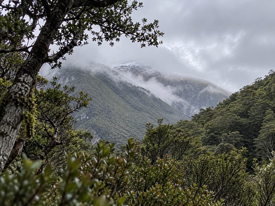 ChallengingCons Track2 km · 3.5 hr · 1.6 km awayA steep ridge climb with a big bushline payoff.
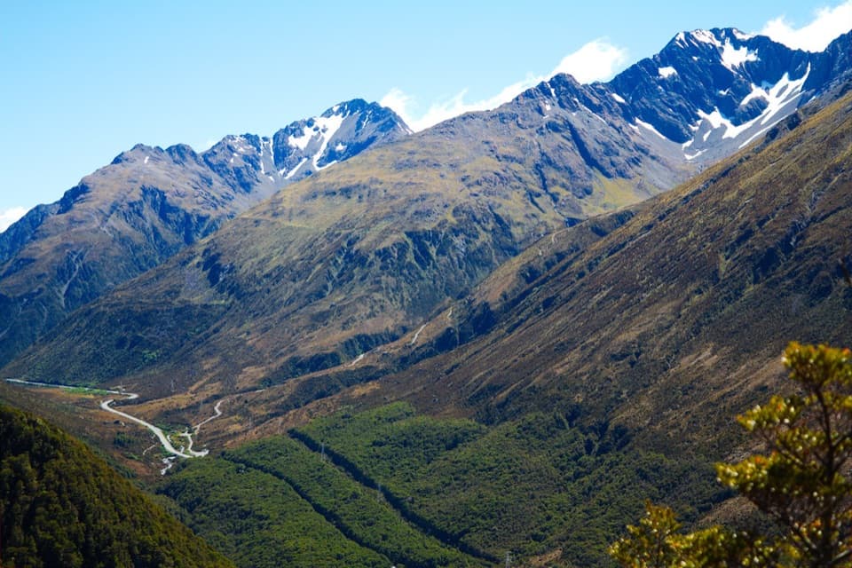 ChallengingScotts Track to Avalanche Peak7.1 km · 7 hr · 1.6 km awayA steep, exposed climb from forest to a narrow alpine summit.
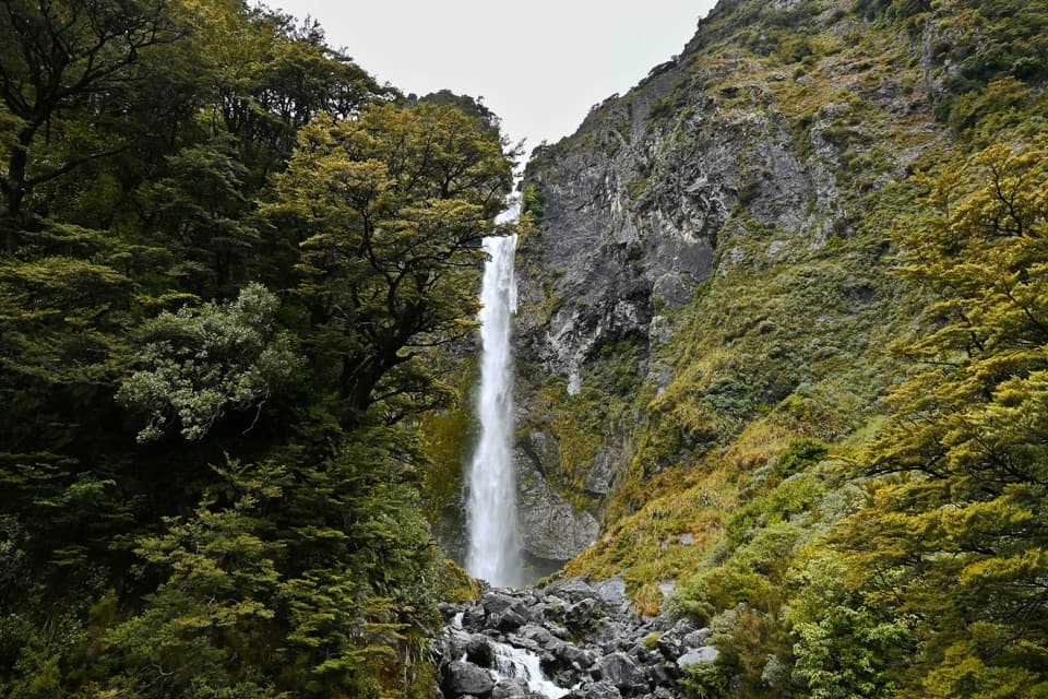 ModerateDevils Punchbowl Walking Track2 km · 1 hr · 1.8 km awaySteep stair climb through beech forest to a 131 m waterfall
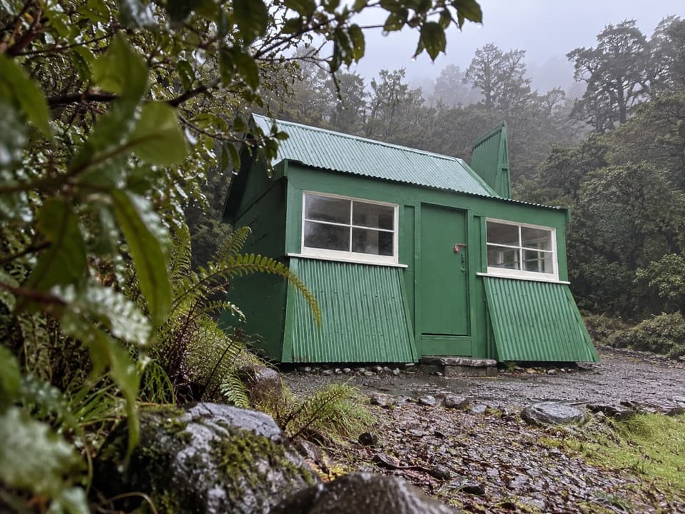 Sight · At the trailheadJacks HutA rare roadman’s cottage makes the pass road’s working past tangible.Sight · 0.3 km awayBealey ChasmA five-minute walk brings you to the Bealey River's boulder-cut chasm.
 Sight · 1 km awayBridal Veil Falls LookoutA forest walk to distant falls, peaks and village views.Sight · 1.3 km awayDobson MemorialA tall obelisk remembers surveyor Arthur Dobson at the pass.
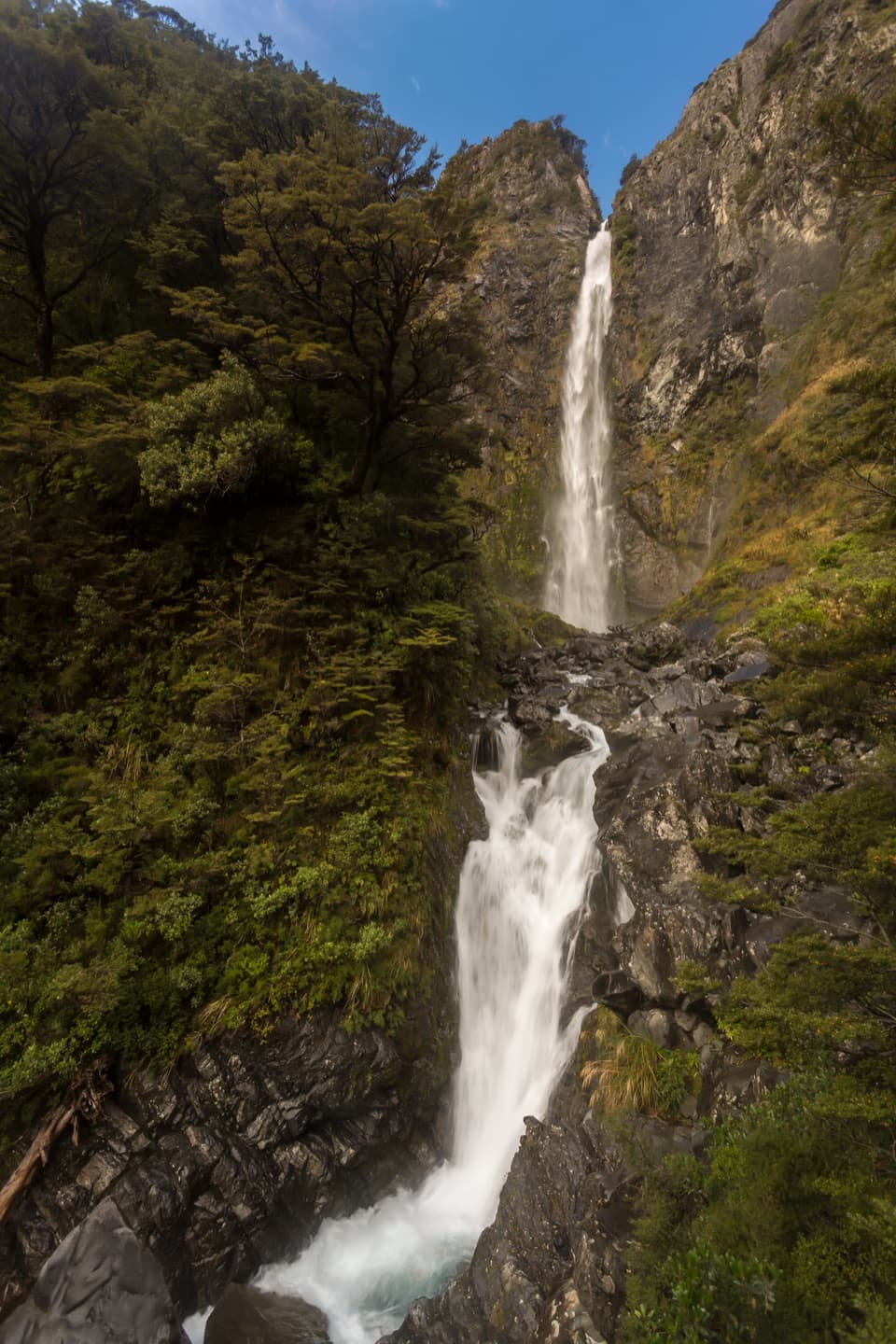
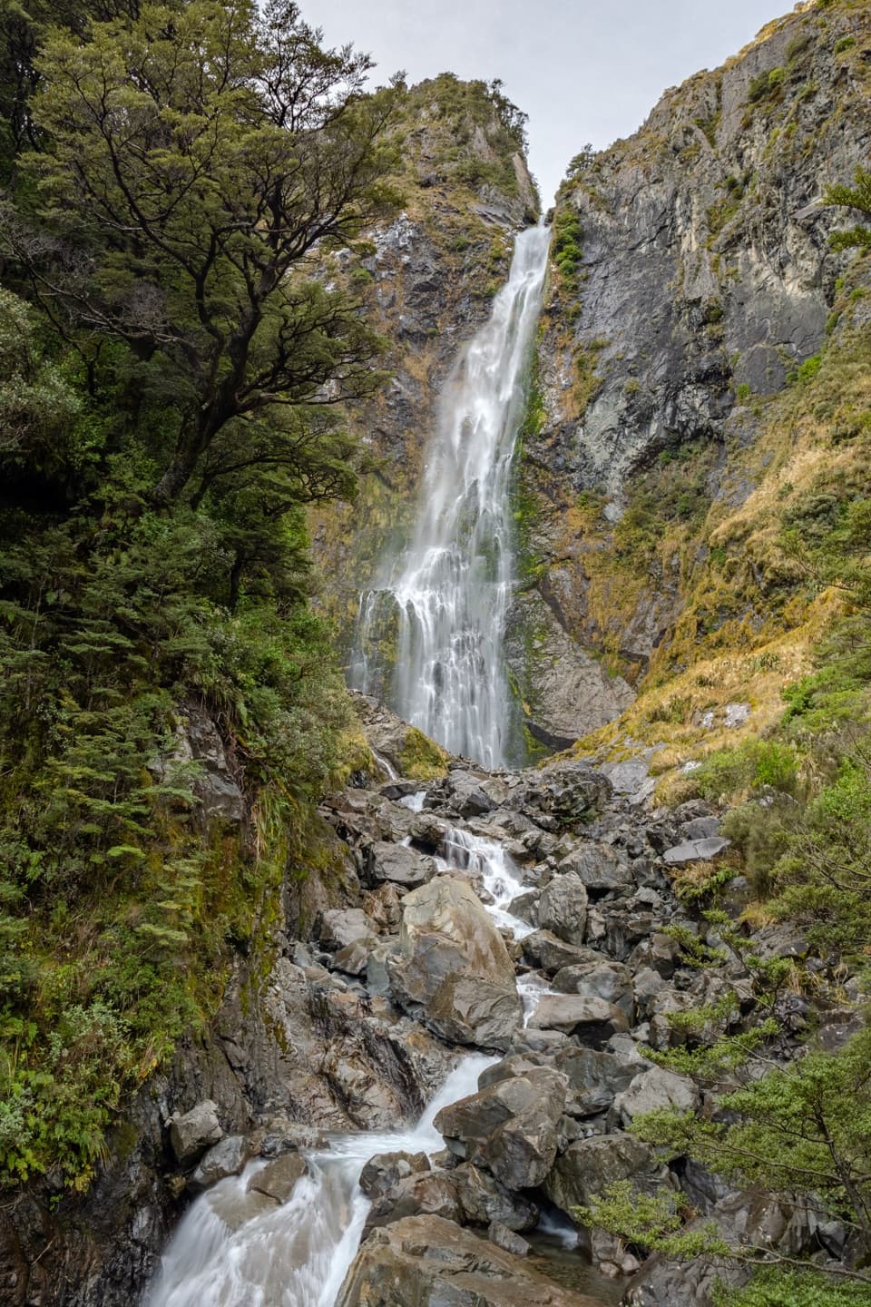 Sight · 1.7 km awayDevils Punchbowl FallsA 131 m waterfall is close after a long stair climb.
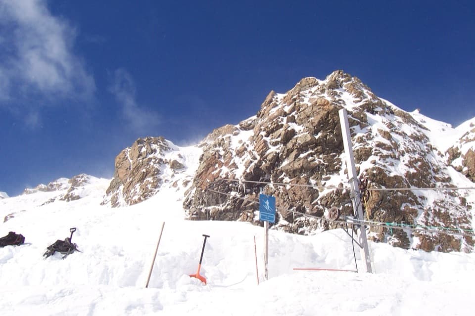 Sight · 1.9 km awayTemple Basin Ski AreaA walk-up club field with rope tows and big alpine terrain.
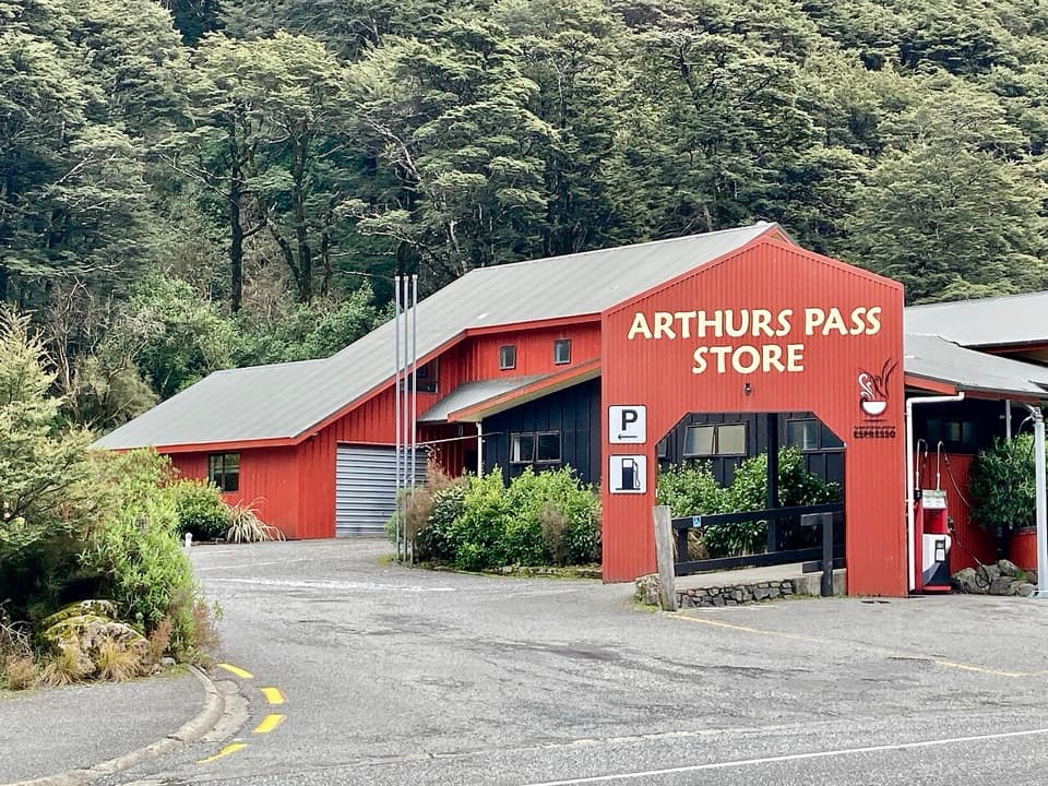 Restaurant · 2.3 km awayArthur’s Pass Café & StorePie, coffee, groceries and the only fuel for a long stretch.
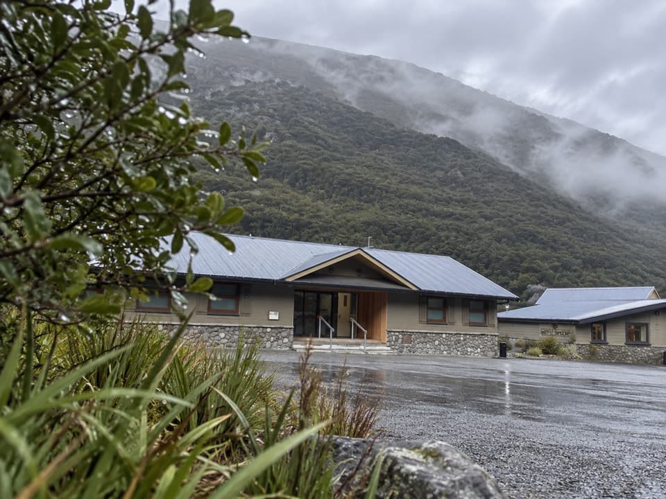 Lodging · 2.3 km awayArthur’s Pass Motel & LodgeA warm village base with lodge rooms and a shared kitchen.
Parkwolf’s Arthur's Pass ranking

The audio tour guide for the drive, plus offline maps, trails, and wildlife heatmaps for when the signal drops.