Parkwolf Tour GuideThe highest, rockiest slopes around here are a summer buffet for grizzly bears.
Arthur's Pass Tour Guide
Arthur's Pass, narrated.
Parkwolf is a GPS audio tour guide for Arthur's Pass National Park. As you drive, it chimes in with what’s ahead: hidden gems, upcoming stops, history, geology, and wildlife, right through your car’s speakers.
Recorded for this place
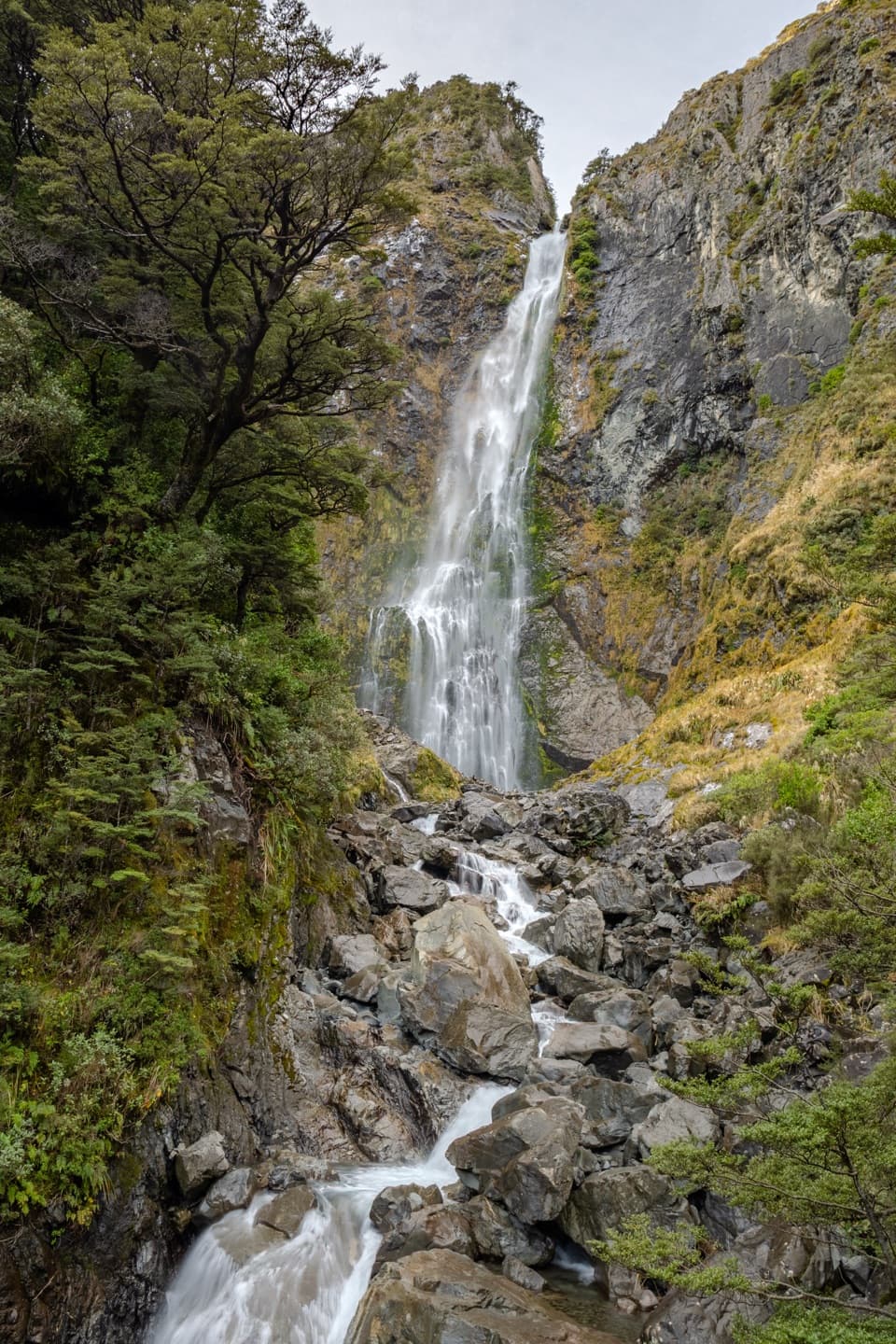
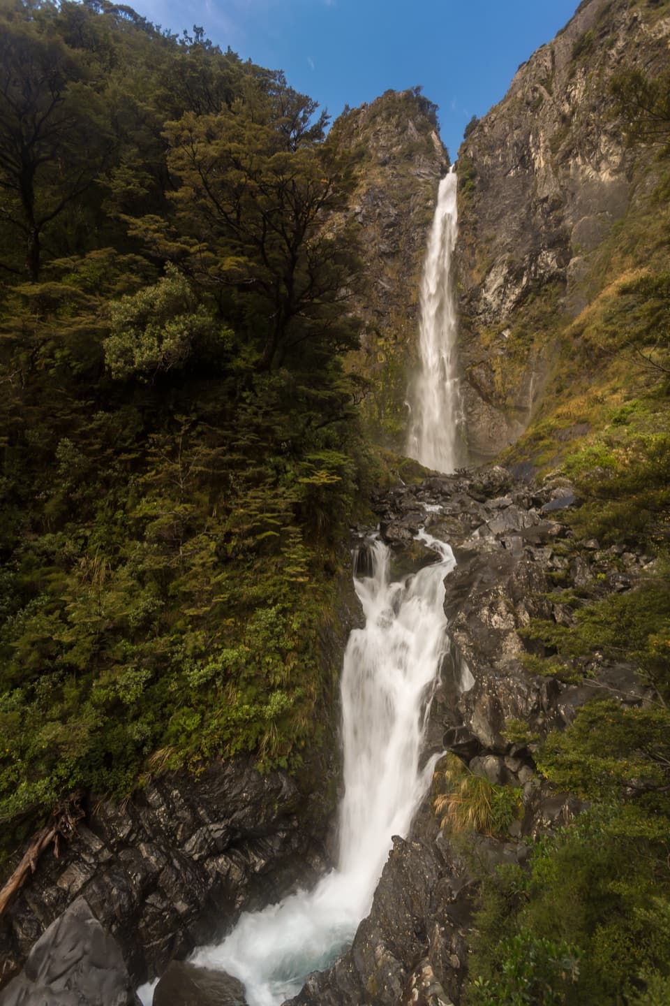
Devils Punchbowl Falls
0:00 / 0:25
“You're approaching the start of the Devils Punchbowl Falls walk, where a hundred-and-thirty-one-metre waterfall drops from a glacial hanging valley.”
Plays as you drive up to Devils Punchbowl Falls in the Parkwolf Arthur's Pass Tour Guide.
More stories near here in the app
Arthur's Pass Café and Store
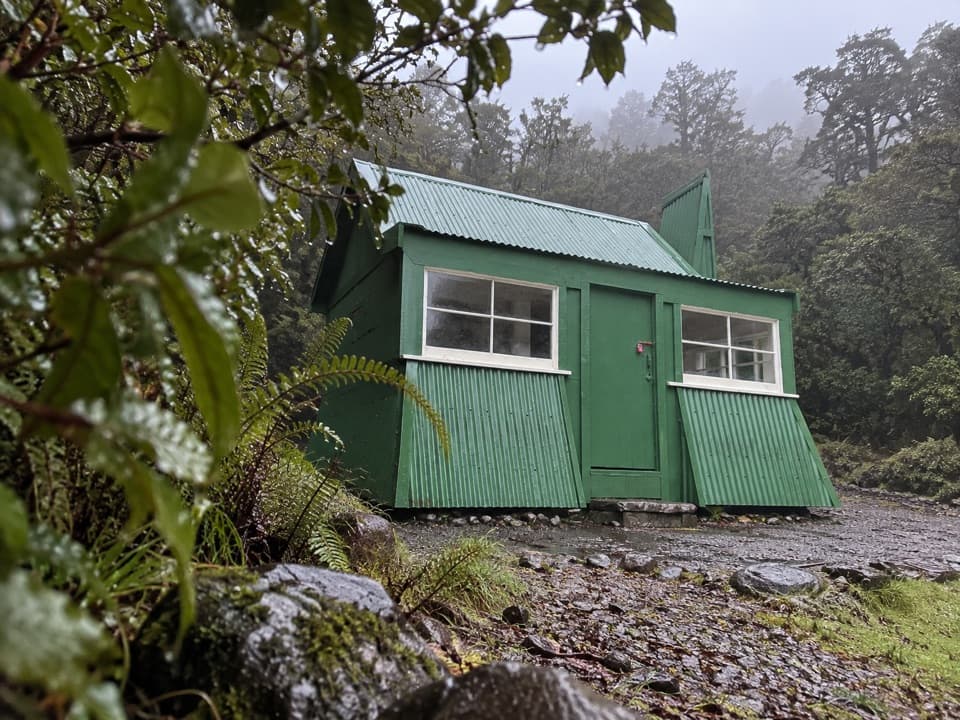
Avalanche Creek Shelter Campsite
Avalanche Peak from the Village
Arthur's Pass Visitor Centre
42 audio storiesacross Arthur's Pass’s roads, triggered by GPS as you drive
Wildlife heatmapsfor Kea, New Zealand Falcon, Blue Duck, and 13 more
Works offlinemaps, 49 trails, 59 places, and audio download before you lose signal
CarPlay readysimple controls built for the drive
★★★★★
“Fantastic app with many points of information… It’s great to just turn on while you’re driving and it gives you an audio tour of the national Park. We love it!!!!”
CautionFlood damage and active slip on Harper Pass RouteFlood damage and an active slip make the western Harper Pass Route hazardous; expect difficult river crossings and avoid the slip during rain.Official details
CautionFlood damage on route to Sudden Valley BivvySignificant flood damage has washed away much of the route to Sudden Valley Bivvy; access is possible only when rivers are low.Official details