Parking
Start at Punchbowl car park at the end of Punchbowl Road. It serves the Arthur's Pass Walking Track and the separate Devils Punchbowl walk; take the Bridal Veil branch at the first junction.
Arthur's Pass National Park, CB · WC
A short forest walk to distant falls and open mountain views.
Overview
Map & elevation
Plan your hike

The highest, rockiest slopes around here are a summer buffet for grizzly bears.
Arthur's Pass Tour Guide
Parkwolf is a GPS audio tour guide for Arthur's Pass National Park. As you drive, it chimes in with what’s ahead: hidden gems, upcoming stops, history, geology, and wildlife, right through your car’s speakers.
Recorded for this trailhead
Devils Punchbowl Falls“You're approaching the start of the Devils Punchbowl Falls walk, where a hundred-and-thirty-one-metre waterfall drops from a glacial hanging valley.”
Plays as you drive up to this trailhead in the Parkwolf Arthur's Pass Tour Guide.
More stories near here in the app
“Fantastic app with many points of information… It’s great to just turn on while you’re driving and it gives you an audio tour of the national Park. We love it!!!!”


Trail guide
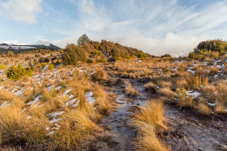
This is the first kilometre of Arthur's Pass Walking Track, out and back from Punchbowl car park to the Bridal Veil lookout. It is about 1.1 miles (1.8 km) return and takes roughly 40 minutes. The climb is mostly gentle, with short flights of steps. Go for the walk through mountain beech and the view back toward Arthur's Pass village and its peaks; Bridal Veil Falls is seen across a forested canyon, not from its base.
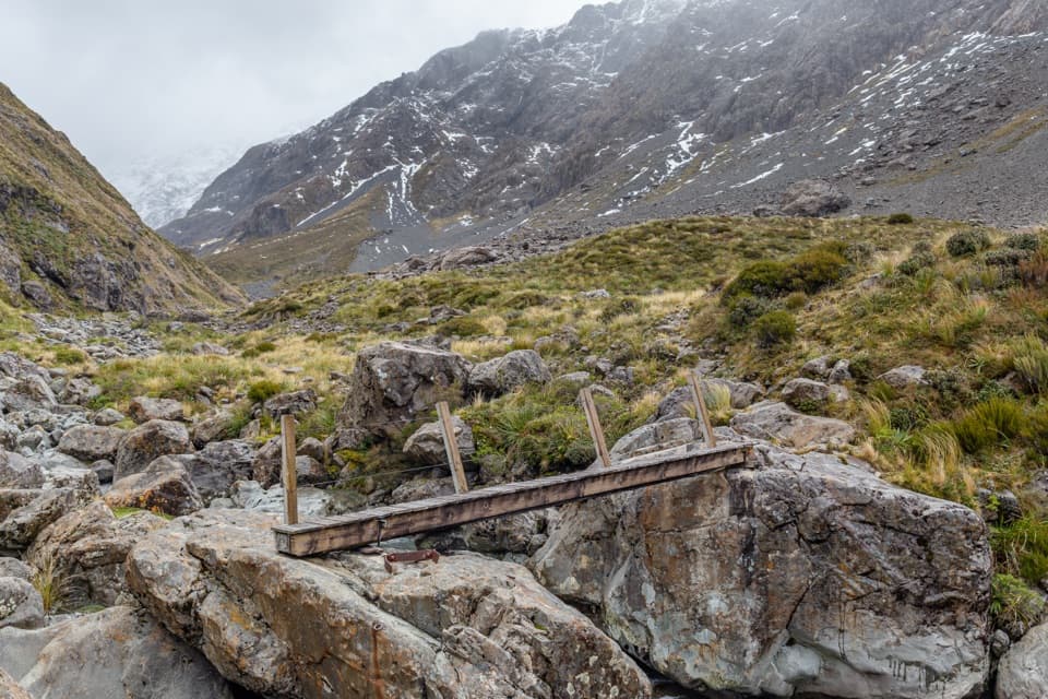
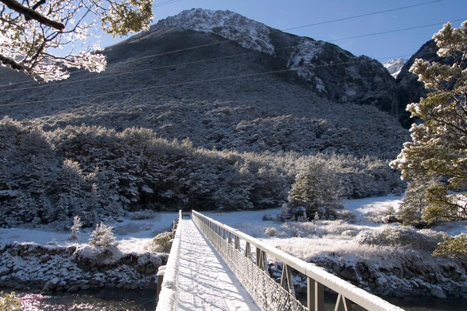
The path starts beside the Bealey River and crosses the Bealey footbridge. At the early junction, take the left-hand Bridal Veil line; the Devils Punchbowl route branches away nearby. Gravel tread winds uphill through beech forest, with roots and small stream bridges. The steps come in short groups, then you'll climb them again on the way back. Turn onto the short spur to the lookout and return the same way; the longer Arthur's Pass track continues beyond it.
The walk ends at a small clearing with a picnic table. You can see the top of Bridal Veil Falls dropping into a tree-filled canyon, but trees screen much of the lower fall. The wider view south over Arthur's Pass village and the surrounding peaks makes this more than a quick waterfall stop. The lookout is across the canyon, not a route down to the water.
Bright red Dracophyllum leaves can show along the approach in spring and summer. Start at Punchbowl car park at the end of Punchbowl Road. Dogs aren't allowed on this conservation track. Mountain weather changes quickly, so bring warm and rain layers and wear strong footwear for the steps and rough tread.
Wildlife
 984 sightingsKeaMost seen around noonSighting map
 39 sightingsNew Zealand FalconMost seen around 5 PMSighting map
 190 sightingsBlue DuckMost seen around 5 PMSighting map
 20 sightingsKākāMost seen around 8 AMSighting map
 15 sightingsWekaMost seen around 7 AMSighting map
 15 sightingsParadise ShelduckMost seen around 6 PMSighting map
Sighting maps show where each species has been reported across Arthur's Pass. Wildlife moves, so no sighting is guaranteed.
Keep exploring
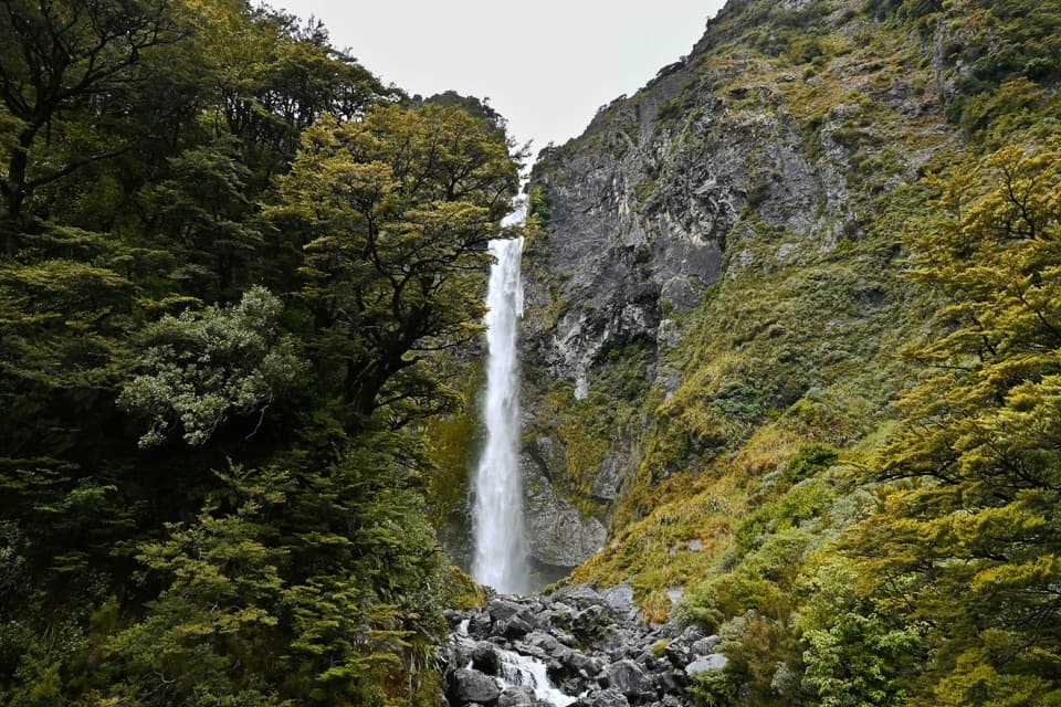 ModerateDevils Punchbowl Walking Track2 km · 1 hr · At the trailheadSteep stair climb through beech forest to a 131 m waterfall
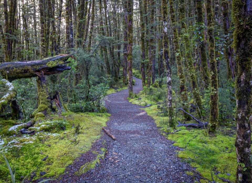 ModerateArthur’s Pass Walking Track6.8 km · 3.5 hr · At the trailheadBeech forest, alpine wetlands and a high-pass lookout
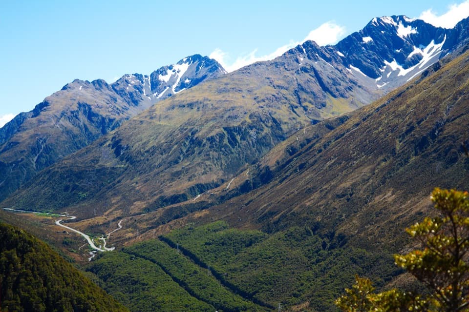 ChallengingScotts Track to Avalanche Peak7.1 km · 7 hr · 0.2 km awayA steep, exposed climb from forest to a narrow alpine summit.
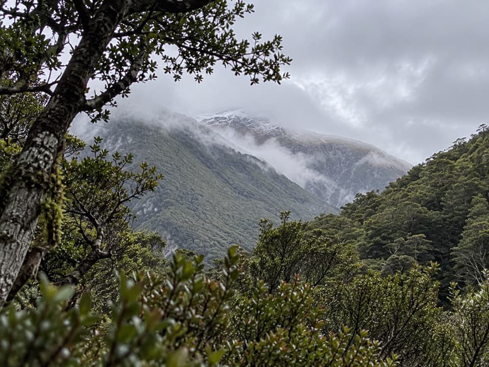 ChallengingCons Track2 km · 3.5 hr · 0.2 km awayA steep ridge climb with a big bushline payoff.
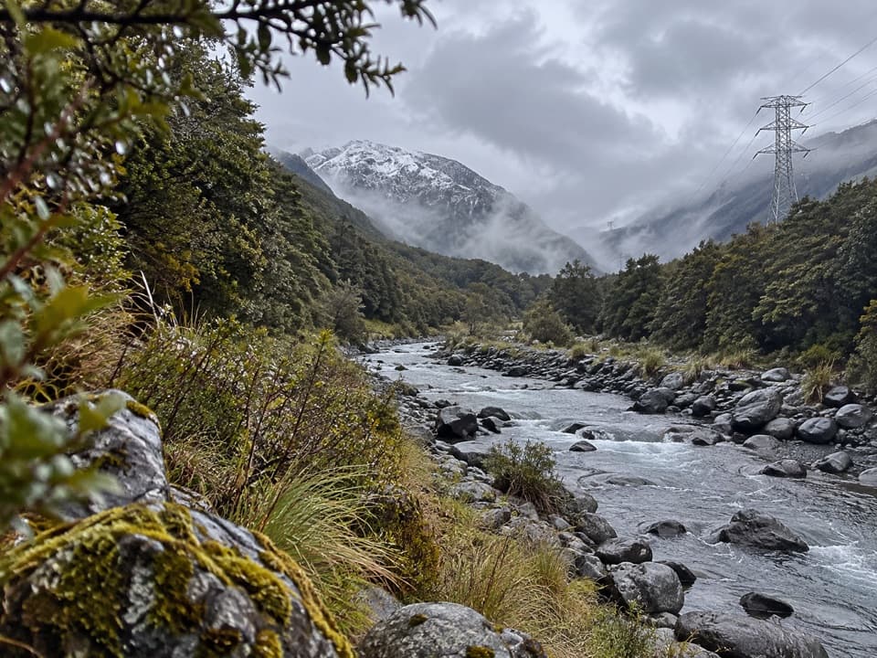 ChallengingMount Aicken Track3.1 km · 3 hr · 0.2 km awayA steep, rooty climb to Mount Aicken's bushline and back.
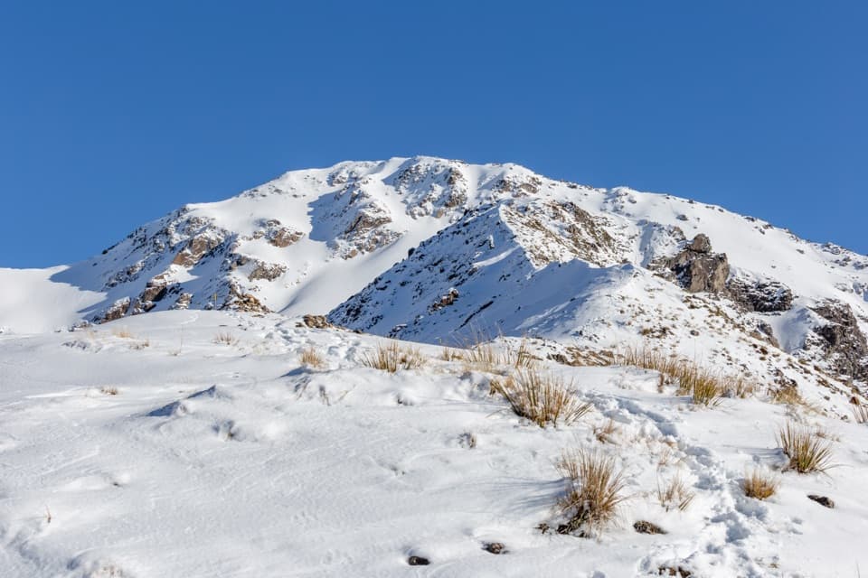 ChallengingAvalanche Peak Route6.8 km · 7 hr · 0.6 km awaySteep forest, a razor ridge, and the gentler Scotts descent.
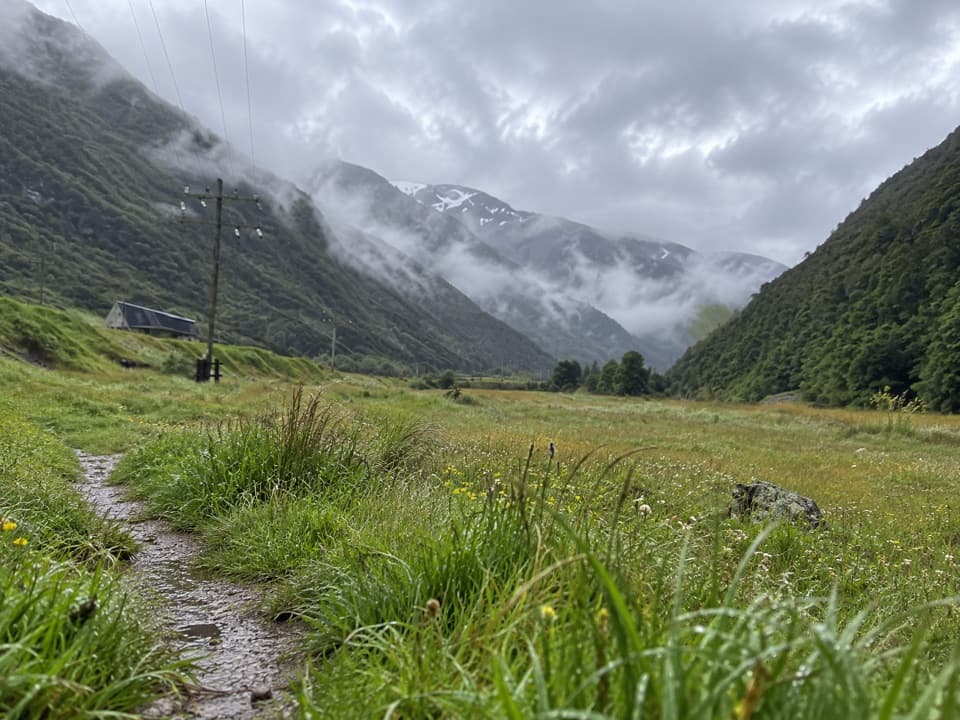 EasyJC’s Track1.8 km · 30 min · 0.7 km awayEasy river-flat walking with Rough Creek’s waterfalls across the valley.
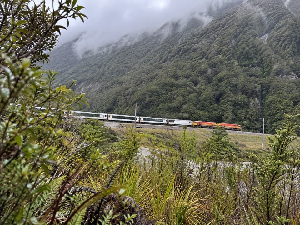 EasyMorts Loop0.8 km · 18 min · 0.7 km awayA short beech loop along the Bealey River flats.
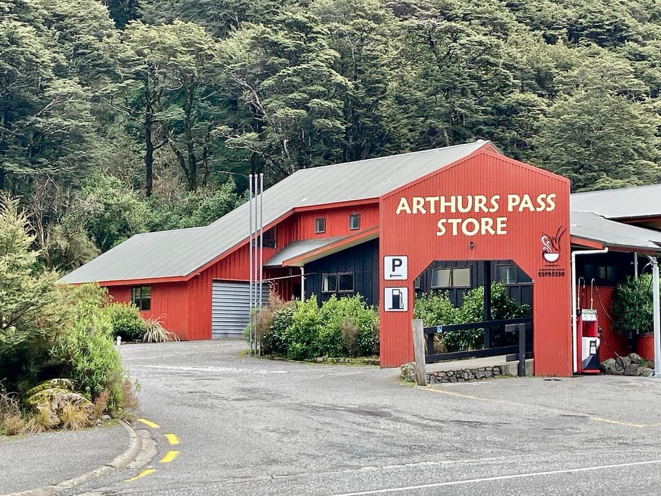 Restaurant · 0.5 km awayArthur’s Pass Café & StorePie, coffee, groceries and the only fuel for a long stretch.
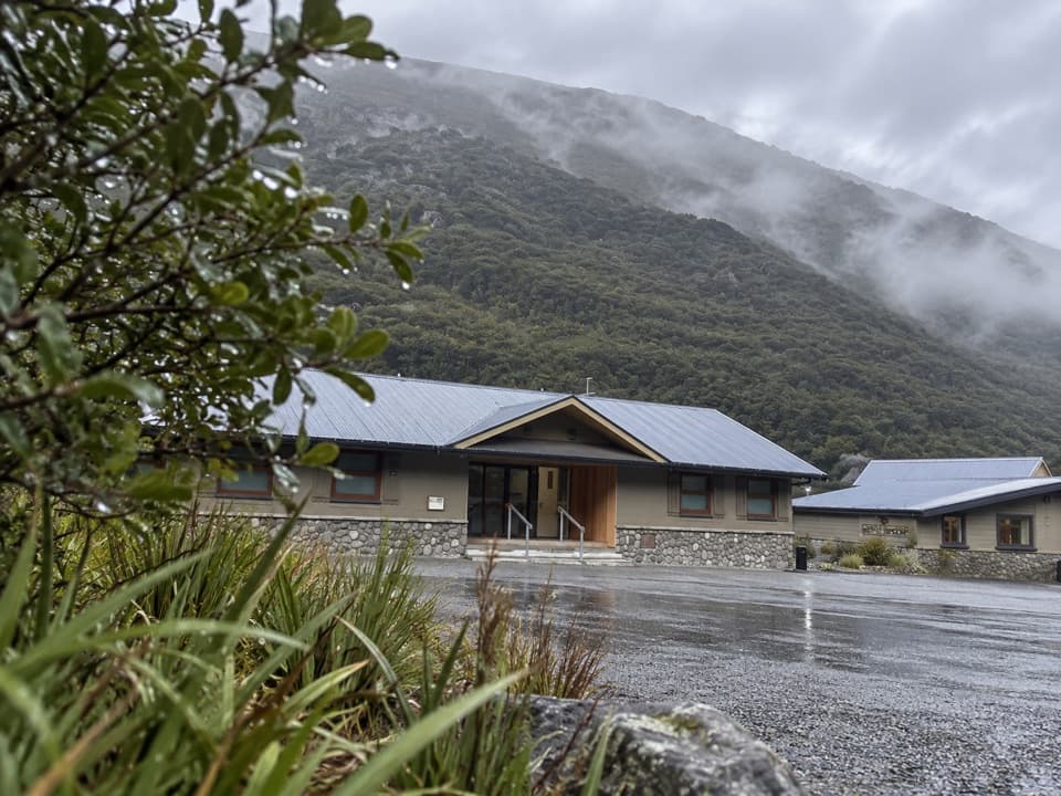 Lodging · 0.5 km awayArthur’s Pass Motel & LodgeA warm village base with lodge rooms and a shared kitchen.
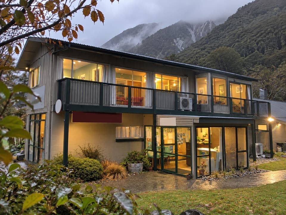 Lodging · 0.5 km awayMountain House BackpackersA central village base with a proper shared kitchen.
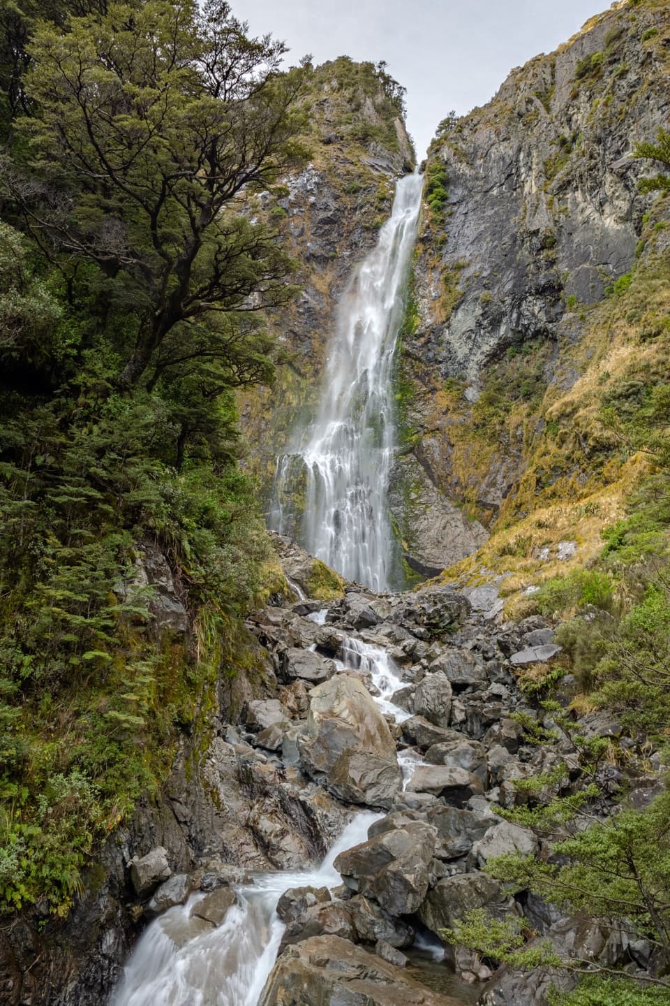 Sight · 0.5 km awayDevils Punchbowl FallsA 131 m waterfall is close after a long stair climb.
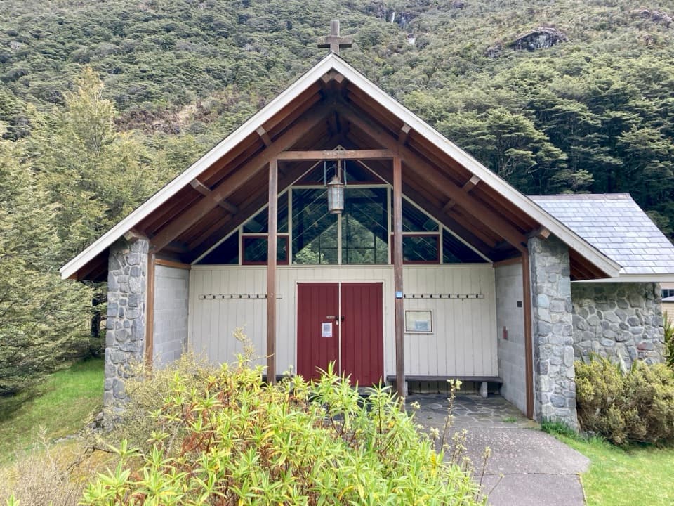 Sight · 0.6 km awayArthur’s Pass ChapelThe altar window frames a waterfall in this quiet village chapel.
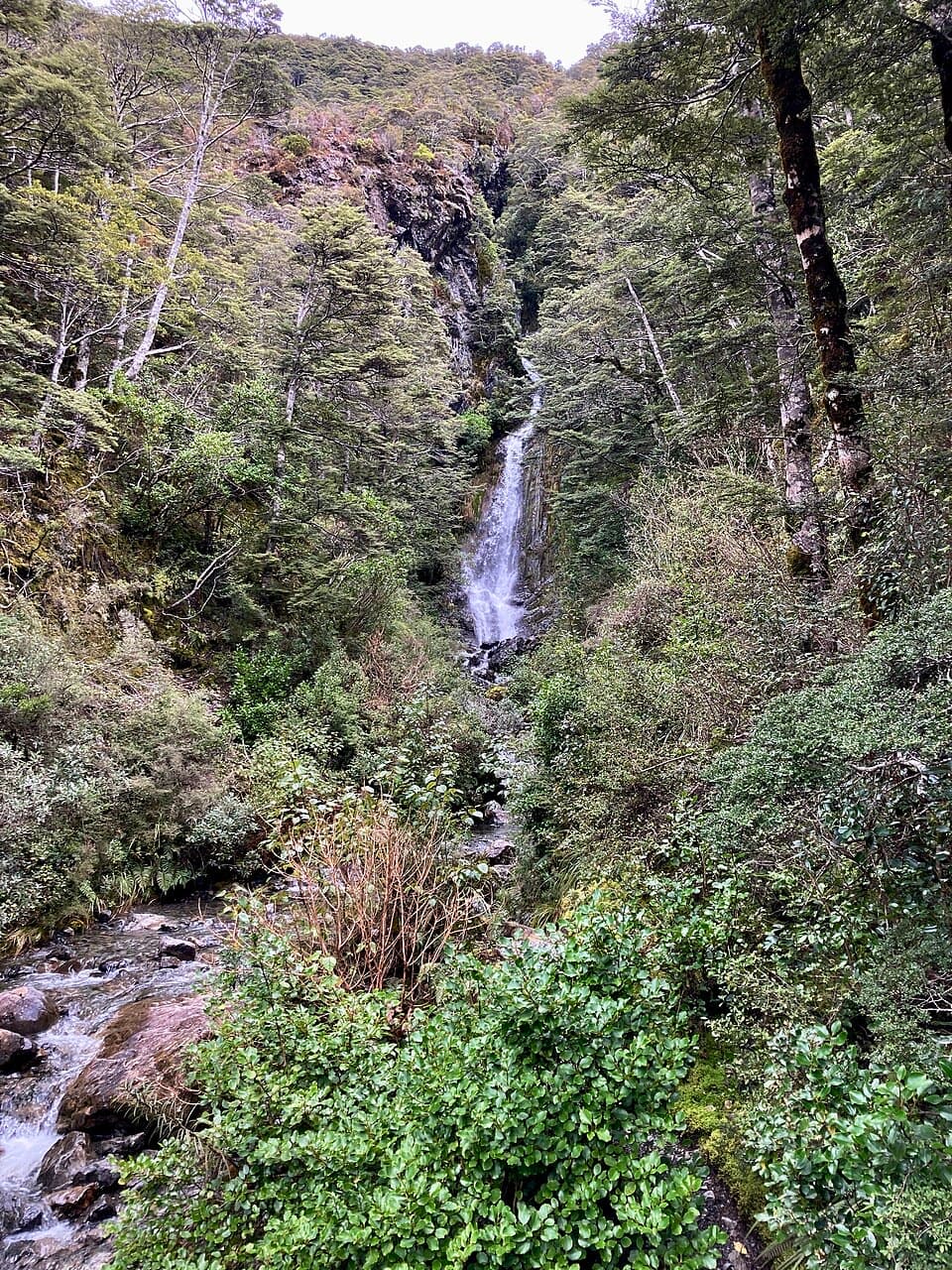 Sight · 0.6 km awayAvalanche Creek WaterfallQuick village stop; take the steep spur for a closer waterfall view.
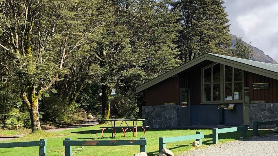 Campground · 0.6 km awayAvalanche Creek Shelter CampsiteA handy village base if you can live with freight trains.
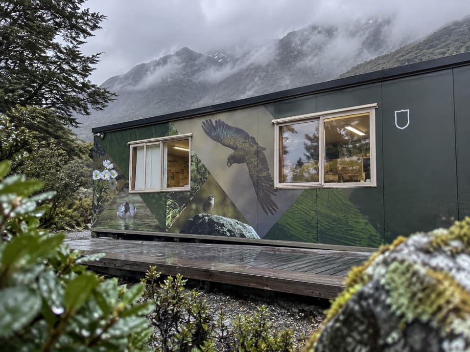 Visitor center · 0.7 km awayArthur’s Pass National Park Visitor CentreStart your mountain day with track and weather advice from the rangers.
Parkwolf’s Arthur's Pass ranking

The audio tour guide for the drive, plus offline maps, trails, and wildlife heatmaps for when the signal drops.