
Place · 0 mi away
Challenging
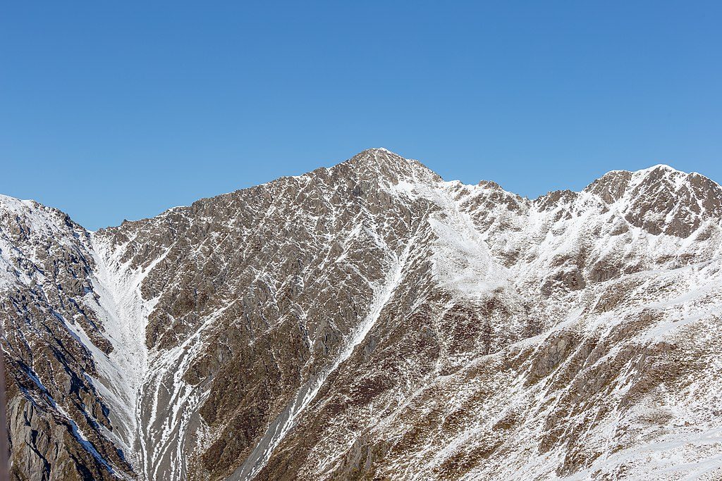
This is Arthur’s Pass at its most honest: steep, direct, and wildly scenic. The Mount Bealey Route climbs from beech forest to a sharp alpine ridge and a 1,836 m summit. It’s a route, not a marked summit track—expect hands-on scrambling, loose rock, and real exposure above the bushline. The standard out‑and‑back to the summit is roughly 8.2 km/5.1 miles total.
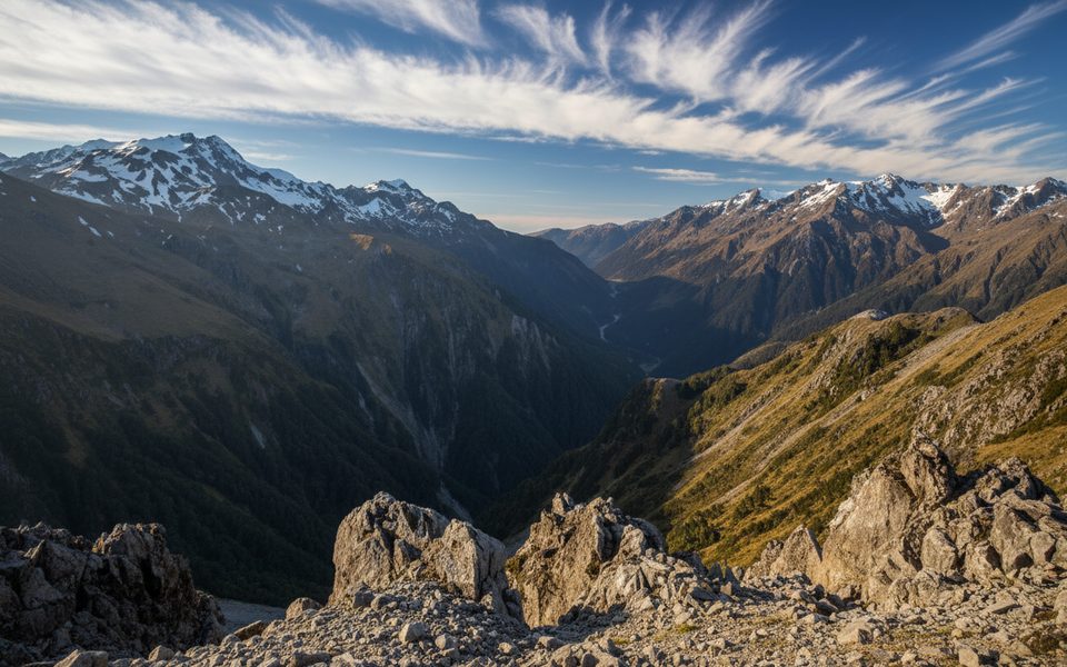
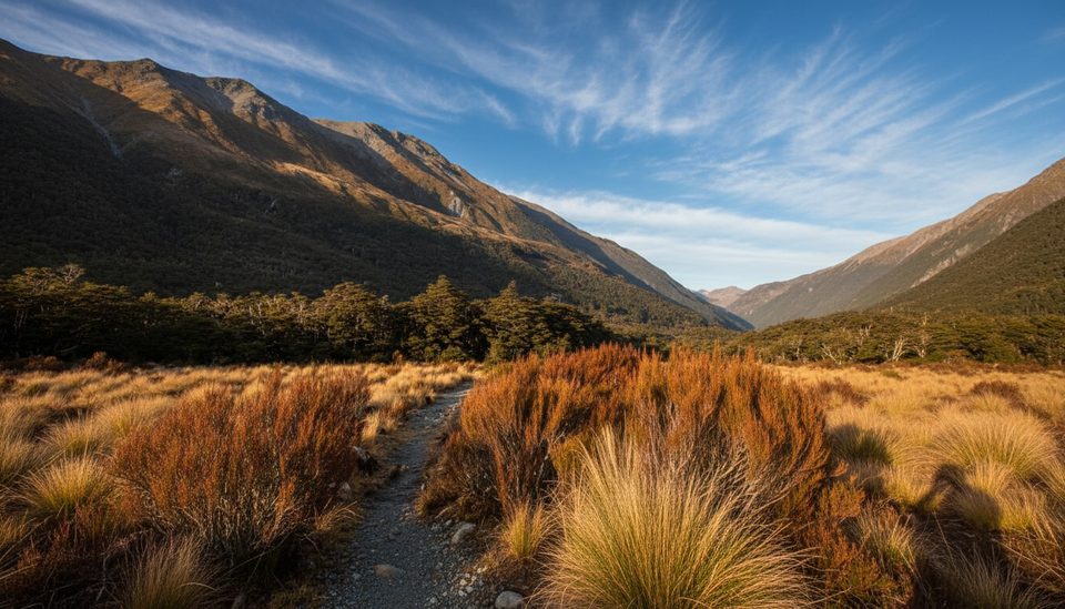
From the end of Mount Bealey Road, the tramping track punches up through mountain beech, gaining about 600 m over 1.7 km to reach the treeline around 1,340 m. Underfoot it’s all big step‑ups, roots, and rock—efficient but punishing. Above the treeline, the marked track ends and the character flips to an unmarked alpine route along a tussock and scree ridge. You’ll pass Point 1760, dip into a saddle, then climb a narrow, sometimes craggy ridge to the 1,836 m summit of Mount Bealey. Views sprawl across the Waimakariri and the Arthur’s Pass skyline, and kea often patrol the ridge—guard your snacks and anything shiny.
Plan 45–90 minutes to the treeline and a further 1–2 hours from treeline to the summit. Treat everything above the bushline as slow, careful travel, and allow similar time for the return. Most parties should budget a solid half‑day.
In fine, stable weather, strong parties sometimes continue along the ridge toward Avalanche Peak. The first kilometre northwest off Mount Bealey is the crux—narrow, loose, and exposed with steep drop‑offs. A safer feel option is to sidle into the basin on the western side and regain the ridge near Point 1778. Beyond there the ridge broadens, crossing Lyell Peak before meeting the poled Avalanche Peak Route; descend via Avalanche Peak Track or the knee‑friendlier Scotts Track. Expect 2–3 hours for the Bealey‑to‑Avalanche section alone, and know that some full‑day traverses run very long when conditions or breaks stack up.
This is true alpine country. There are no water sources on the route—carry all you need. Navigation skills are essential beyond the treeline; in poor visibility, turn back. In winter or when snow/ice lingers, expect avalanche risk and bring appropriate equipment and skills; traction like microspikes or crampons may be required. Helmets are sensible in groups given the loose Greywacke rock with sharp, tilted strata. A PLB is a smart call, especially if solo.
Choose a clear, calm day for the summit; start early to bank time for careful ridge travel and a conservative turnaround. Shoulder seasons on dry, wind‑tame days can be superb. If tackling the traverse, pick the direction that gives you a marked descent in deteriorating weather.
If you want big views with less commitment, Bealey Spur offers a more gradual day that stays below the bushline. For a short sampler of Arthur’s Pass terrain, the Bealey Valley track is a gentler option. Both are good fallback plans when alpine conditions are marginal.
Small trailhead at the end of Mount Bealey Road, left off SH73 just before the one‑way bridge over Rough Creek when approaching from Christchurch.
Beyond the treeline there is no marked route; expect steep, loose, and exposed travel with fall risk. No water sources. In snow or ice, avalanche danger and alpine gear/skills are required. Carry navigation, layers, and a PLB; consider helmets in groups due to rockfall.
Place · 0 mi away
Place · 0.1 mi away
Place · 0.1 mi away
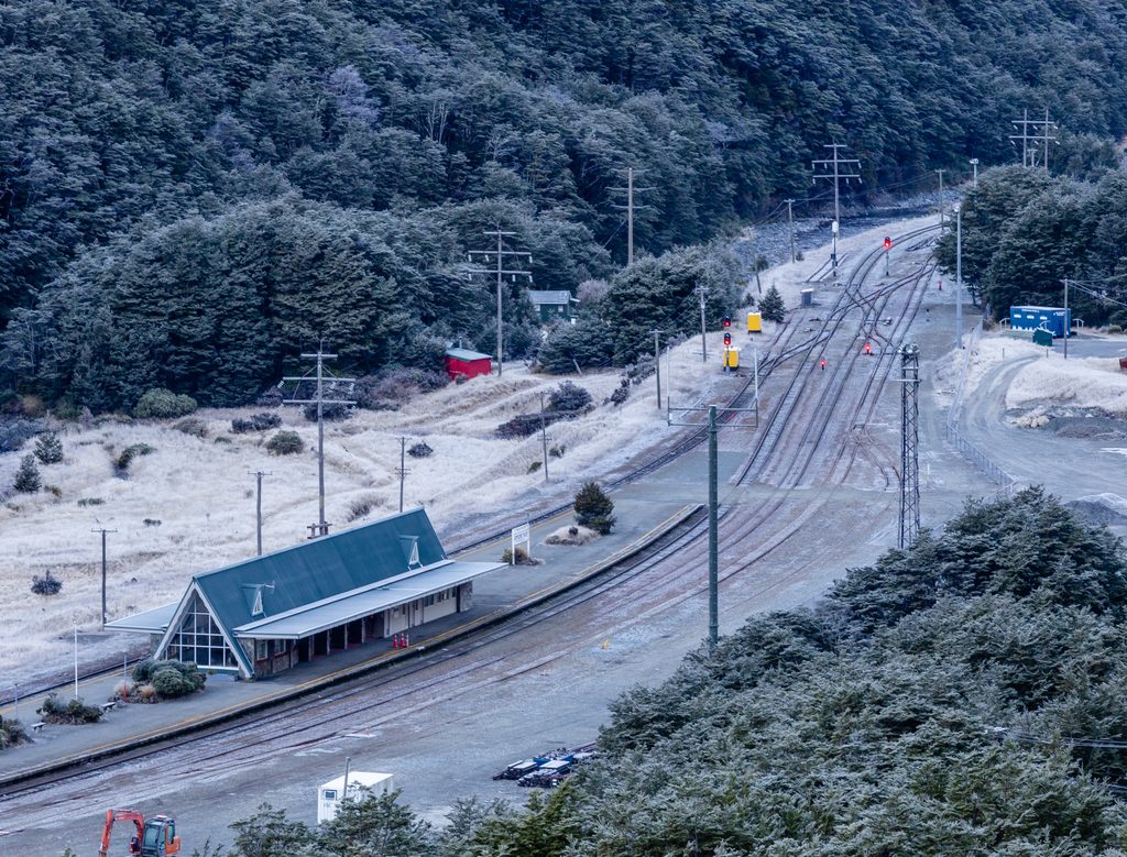
Place · 0.3 mi away
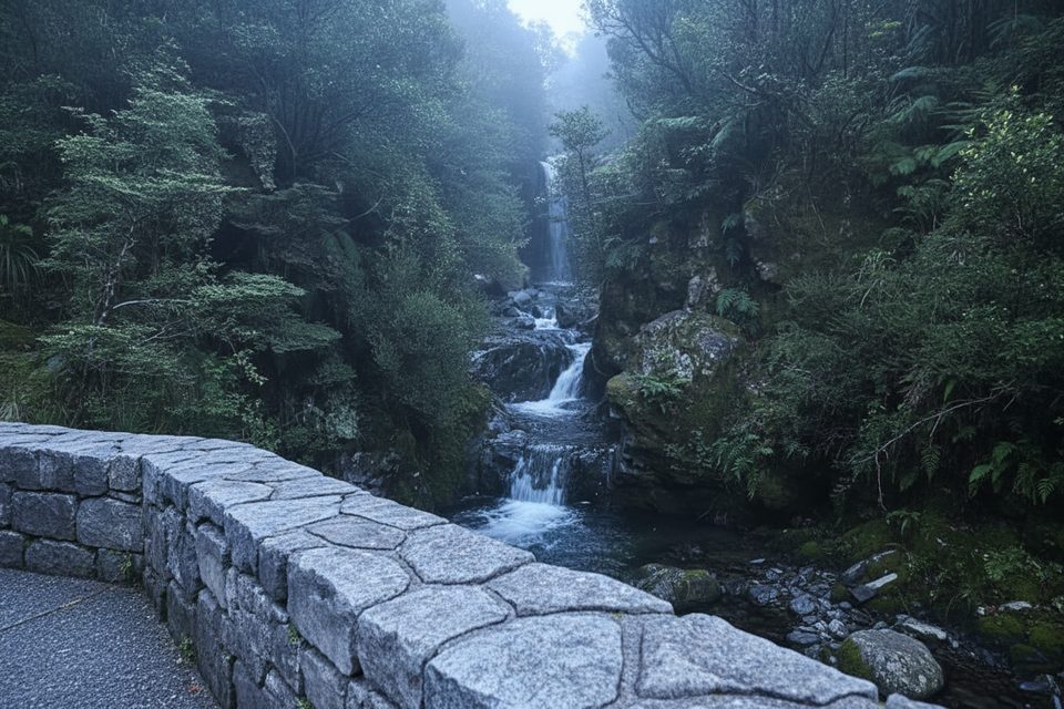
Easy · 0.5 mi away
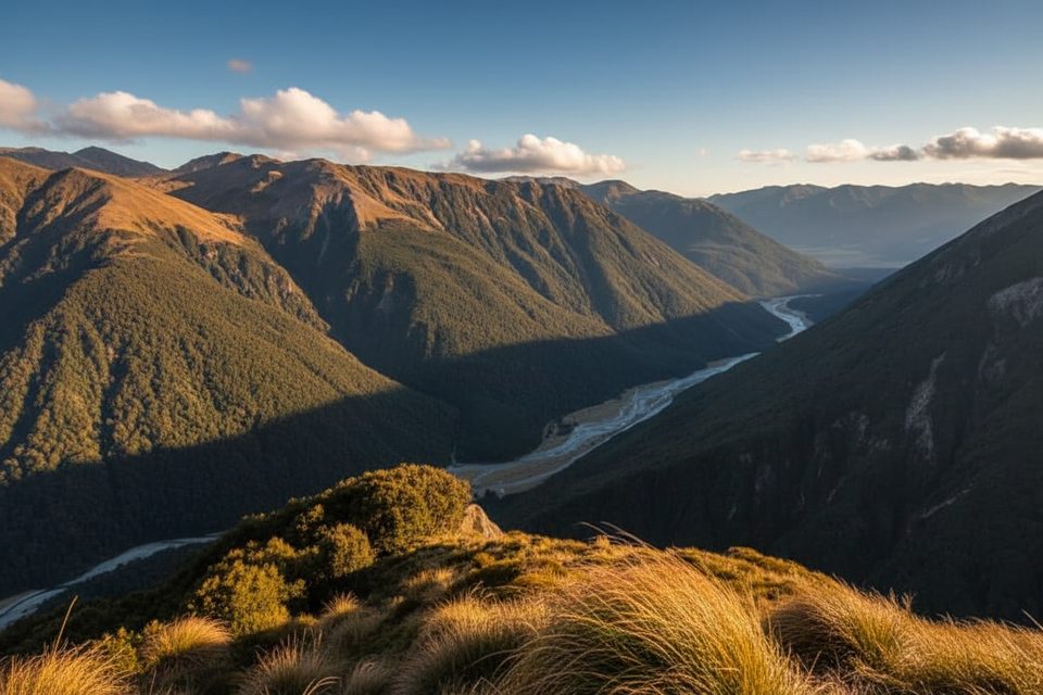
Challenging · 0.6 mi away
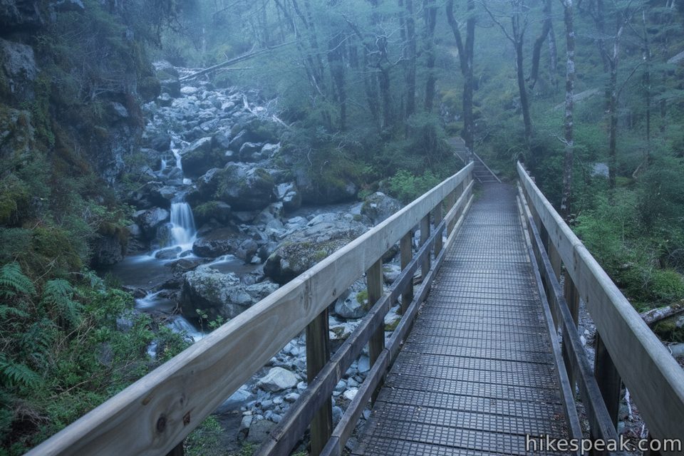
Easy · 1.1 mi away
Easy · 2 mi away

Parkwolf Tour Guide
