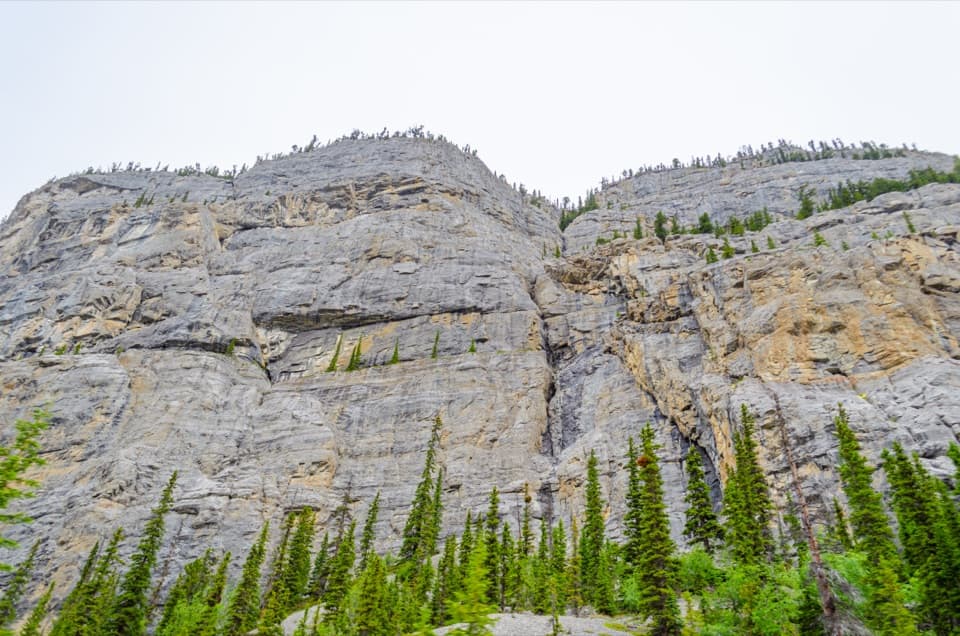
Weeping Wall Viewpoint in Banff National Park

Sight · Banff National Park

Weeping Wall Viewpoint

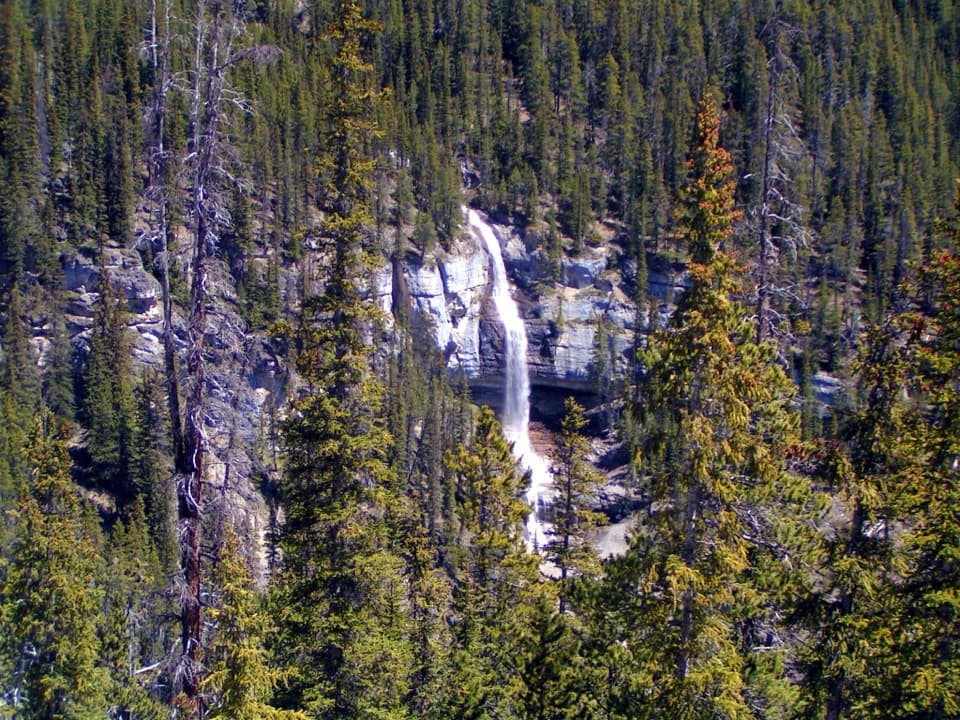
Snowmelt falls give way to winter ice columns on this cliff.

Photo: Wikimedia Commons
Type
Sight
Nearest trail
5.4 km
Audio stories
3 nearby
  • Scenic viewpoint
  • Pullout
  • Parking
  • Restrooms
  • #19 of 50 sights

Hear the audio tour

Weeping Wall Viewpoint beneath Cirrus Mountain

Overview

About Weeping Wall Viewpoint

Why stop

  • A dramatic cliff view right from the parkway turnout.
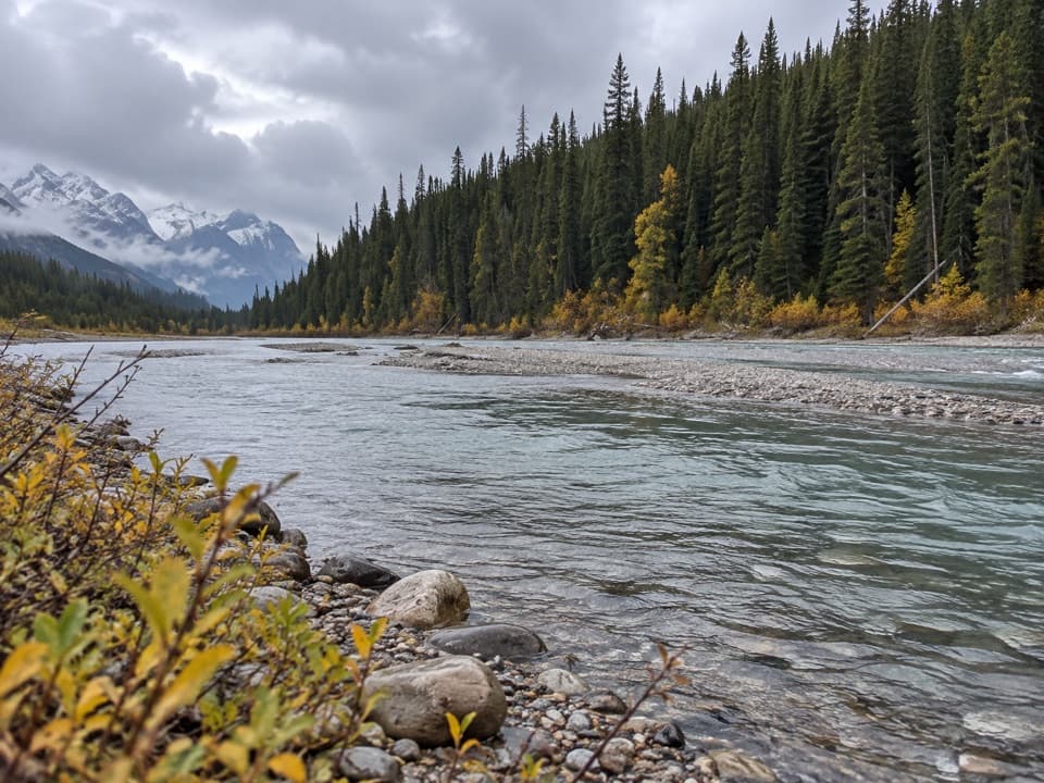
  • The nearby river gives the stop a second scenic angle.

Heads up

  • Waterfall flow can fade to a trickle by late summer.

Map

Where it is

Loading the Banff map
Full map
SightWeeping Wall Viewpoint52.15451, -117.00968
Keep this map with you offline in the Parkwolf app

Plan your stop

Before you go

8 active Banff alerts

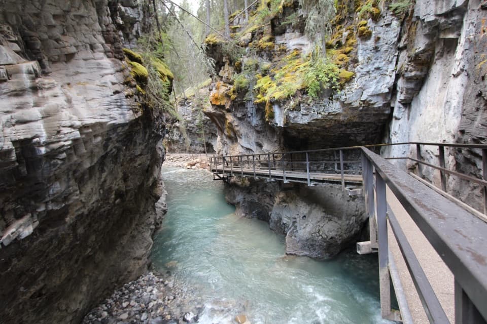
  • ClosureJohnston Canyon Trail and Day Use Area closedJohnston Canyon Trail and Day Use Area are closed to all traffic and travel through December 11, 2026, because construction work requires protecting public and workers’ safety.Official details
  • ClosureBaker Lake and Hidden Lake campgrounds closed to campingCamping is prohibited at Baker Lake and Hidden Lake campgrounds through December 1, 2026, because a grizzly bear entered campsites and investigated tents and gear; the closures reduce risk to…Official details

See all 8 alerts
A park ranger sits on a dash-mounted phone, talking, as Parkwolf’s Tour Guide plays “Army Cutworm Moths: A Grizzly Bear Buffet” on Grand Loop Road below Dunraven Pass in Yellowstone
Parkwolf Tour GuideThe highest, rockiest slopes around here are a summer buffet for grizzly bears.

Banff Tour Guide

Your drive to Weeping Wall Viewpoint, narrated.

Parkwolf is a GPS audio tour guide for Banff National Park. As you drive, it chimes in with what’s ahead: hidden gems, upcoming stops, history, geology, and wildlife, right through your car’s speakers.

See the Banff audio tour

Recorded for this place

Weeping Wall Viewpoint beneath Cirrus Mountain
0:00 / 0:20
“You're approaching Weeping Wall Viewpoint, where narrow waterfalls run down the cliffs beneath Cirrus Mountain. The roadside turnout gives you the main view without a hike.”

Plays as you drive up to Weeping Wall Viewpoint in the Parkwolf Banff Tour Guide.

More stories near here in the app

  • Fireweed, from Flowers to Fluff
  • How Frost Breaks a Cliff
  • The Whistle among the Rocks
  • Big Bend and the Distant Bridal Veil Falls
  • 185 audio storiesacross Banff’s roads, triggered by GPS as you drive
  • Wildlife heatmapsfor Grizzly Bear, Brown Bear, Gray Wolf, and 13 more
  • Works offlinemaps, 162 trails, 90 places, and audio download before you lose signal
  • CarPlay readysimple controls built for the drive
★★★★★
“…Loved the commentary as you drove thru. I’m sure the app can do more than I know but the tips were very helpful. I’m gonna use it when we go to Banff next month.”
tesja22App Store review
Download Parkwolf on the App StoreGet Parkwolf on Google Play

4.7 from 8,600+ ratings

Guide

More about Weeping Wall Viewpoint

What the stop isThe Weeping Wall is a long cliff at the western base of Cirrus Mountain, right beside the…

The Weeping Wall is a long cliff at the western base of Cirrus Mountain, right beside the Icefields Parkway. In spring, several narrow waterfalls stream down its rock face; the largest named cascade is Teardrop. The roadside viewpoint gives you the main wall without a hike, making this an easy pause when the falls are running or the cliff itself is enough.

When it changesThese are snowmelt-fed falls, not a year-round stream.

These are snowmelt-fed falls, not a year-round stream. Flow is usually strongest in spring runoff, often around May, and can dwindle to a trickle by August. In winter the channels freeze into tall ice pillars, making the wall a known ice-climbing feature. Spring and winter are strikingly different visits; late summer may show more rock than water.

Look beyond the cliffVisitors often value the wall even when the falls are weak, and many also call out the nearby…

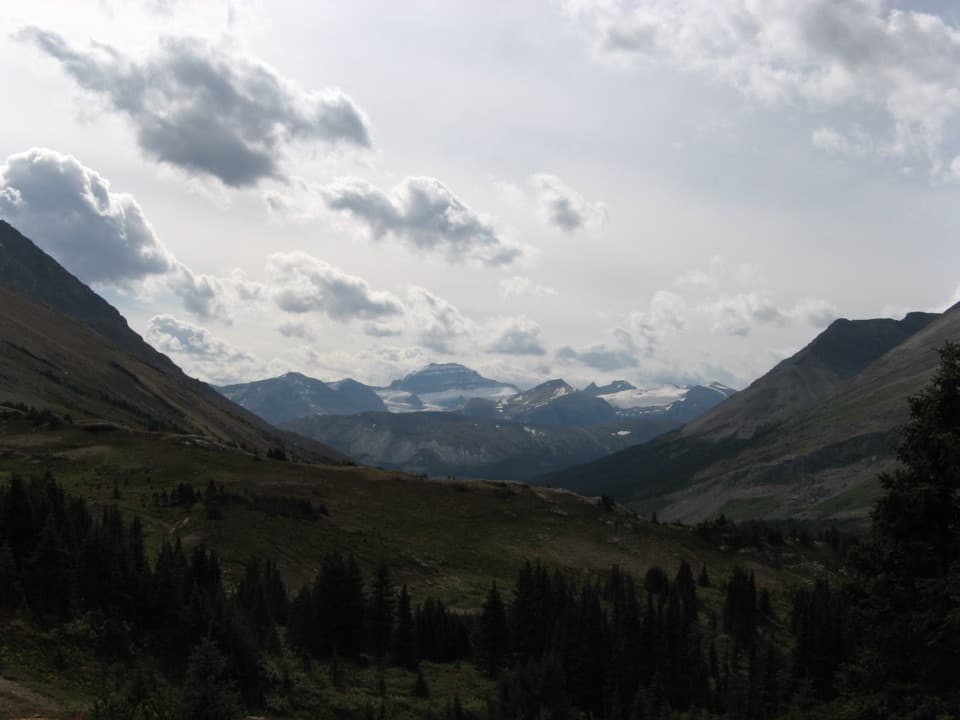
Visitors often value the wall even when the falls are weak, and many also call out the nearby river and mountain scenery. Some describe a short, steep descent toward the falls or river, but the exact route and footing are not well documented. Treat the roadside viewpoint as the dependable stop, and only explore farther if access is clear and comfortable for you.

Photograph the whole wallFrom the turnout, frame the broad cliff so its narrow water channels show against the rock;…

From the turnout, frame the broad cliff so its narrow water channels show against the rock; spring snowmelt gives them the best chance of standing out. The nearby river and mountain backdrop make a different composition if you can reach that view safely.

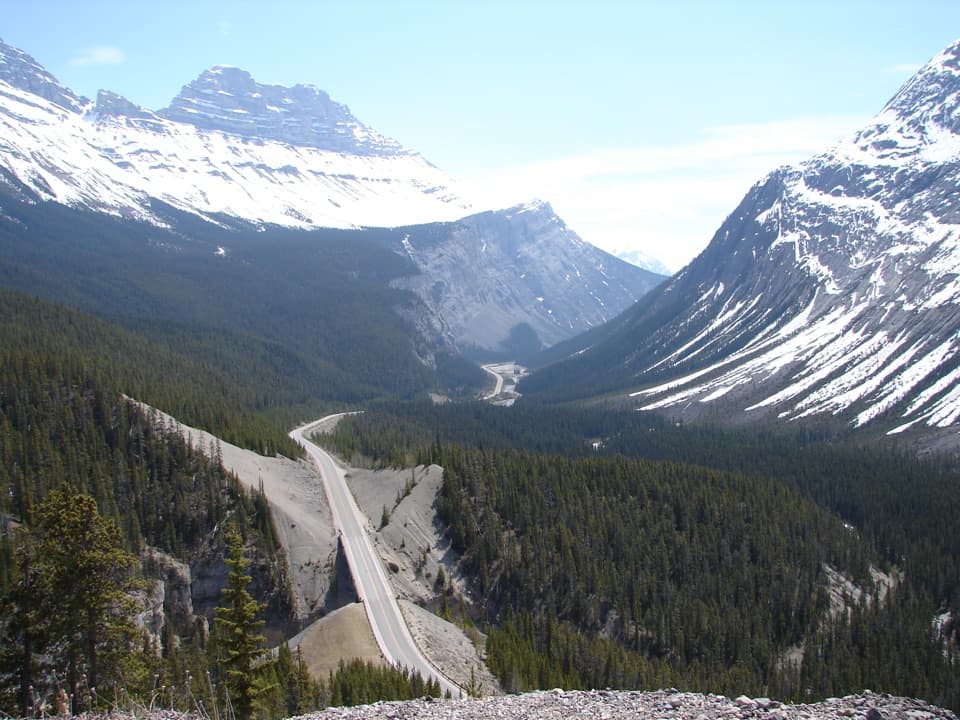
Fit it into the driveThe viewpoint is about 109 km north of Lake Louise and 124 km south of Jasper on the Icefields…

The viewpoint is about 109 km north of Lake Louise and 124 km south of Jasper on the Icefields Parkway. A park pass is required for the Parkway, which is remote, has limited services and no cellular coverage. A pit toilet is reported at the turnout, but potable water is not confirmed, so bring what you need.

Wildlife

Wildlife in Banff

All Banff wildlife maps

Sighting maps show where each species has been reported across Banff. Wildlife moves, so no sighting is guaranteed.

Parkwolf’s Banff ranking

Top sights in Banff

All 90 places
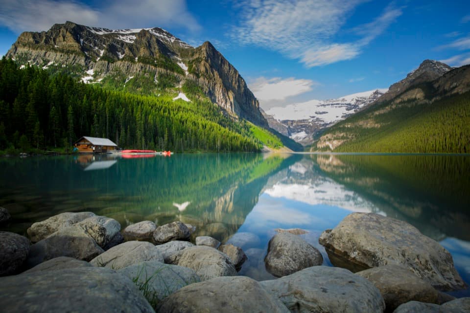
  1. 1Lake LouiseSight
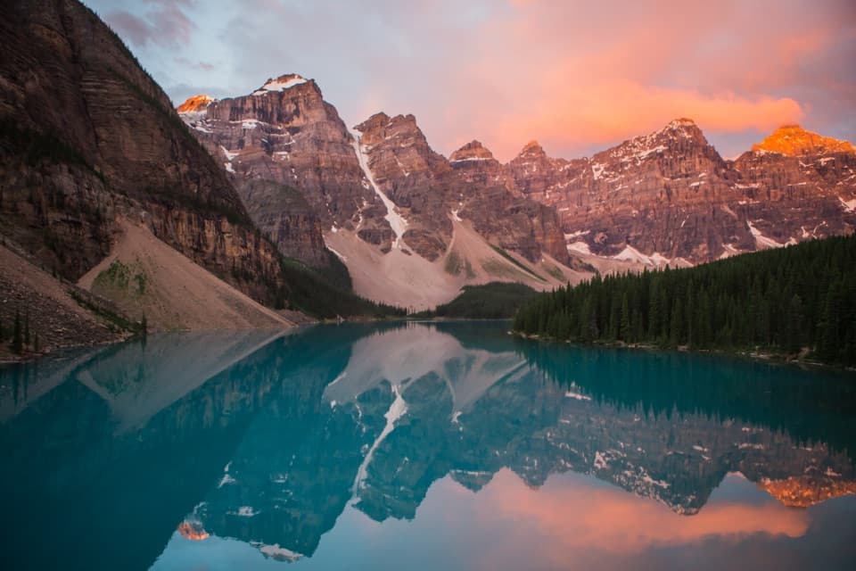
  2. 2Moraine LakeSight
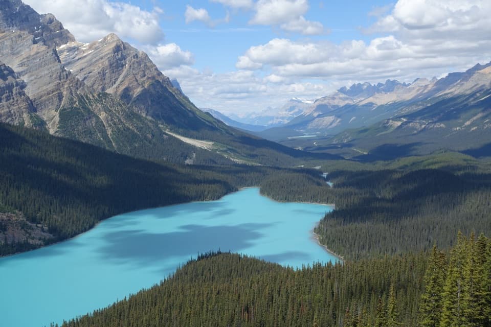
  3. 3Peyto Lake ViewpointSight
  4. 4Johnston CanyonSight
  5. 5Banff GondolaSight
  6. 6Cave and Basin National Historic SiteSight

Take Parkwolf to Banff.

The audio tour guide for the drive, plus offline maps, trails, and wildlife heatmaps for when the signal drops.

4.7 from 8,600+ ratings

Download Parkwolf on the App StoreGet Parkwolf on Google Play