Parking
Use the signed Nigel Creek parking area on the east side of the Icefields Parkway, beside the trailhead kiosk. Watch for the turnoff; the pull-in can be easy to miss.
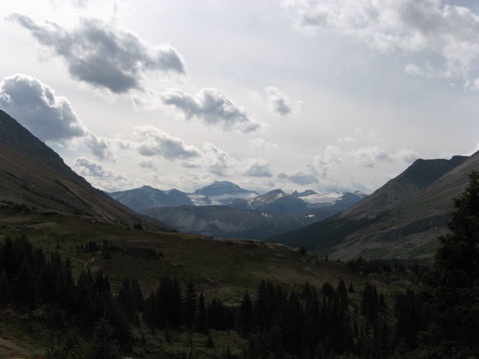
Banff National Park, AB
An old road leads to the rocky pass above Brazeau River Valley.
Overview
Nigel Pass Trail is an out-and-back from Nigel Creek parking to a broad rocky saddle on the Banff–Jasper boundary. The mapped line is about 7.9 km each way, or 15.8 km (9.8 mi) round trip. The official day-hike listing gives 14.4 km; GPS and route measurements are closer to 15.8–16.3 km, while a 17 km track includes extra wandering across the pass. Allow about 5–6 hours for roughly 365 m of climbing. This is a good full-day choice if you want a long valley approach and alpine finish without a huge ascent; skip it if you need a quick leg-stretcher.
 Parkwolf’s verdictIs this the hike for you?
Map & elevation
Plan your hike

The highest, rockiest slopes around here are a summer buffet for grizzly bears.
Banff Tour Guide
Parkwolf is a GPS audio tour guide for Banff National Park. As you drive, it chimes in with what’s ahead: hidden gems, upcoming stops, history, geology, and wildlife, right through your car’s speakers.
See the Banff audio tourRecorded for this trailhead
Nigel Pass by the Old Parkway“Nigel Creek trailhead is coming up, the start of the hike to Nigel Pass on the Banff–Jasper boundary. Choose this for a five-to-six-hour day with a long valley approach and a rocky alpine finish.”
Plays as you drive up to this trailhead in the Parkwolf Banff Tour Guide.
More stories near here in the app
“…Loved the commentary as you drove thru. I’m sure the app can do more than I know but the tips were very helpful. I’m gonna use it when we go to Banff next month.”


Trail guide
The first stretch follows Wonder Road, the original Icefields Parkway alignment, on easy gravel. Historic horse corrals stand beside the road before Camp Parker. It was a halfway stop for early parkway travelers, and the road was replaced by the current highway alignment in the early 1960s. The gravel is a simple opening; the mountain scenery arrives later.
Two bridges take you across cloudy Hilda Creek and the clearer Nigel Creek. Hilda carries glacial rock flour; rain and snowmelt keep Nigel Creek clearer. Beyond Camp Parker, the path climbs through spruce and fir, then crosses an open avalanche slope. Two smaller tributaries may require careful rock or log crossings.
The trees thin into flat headwater meadows below Nigel Peak, where the pass first opens in front of you. The trail braids in places from historic horse traffic, then steepens over its last kilometre to a broad, rocky saddle. From the pass, the Brazeau River valley falls away to the north; look back for Nigel Peak and the surrounding ridges. For the strongest photo, use the pass rock in the foreground with the valley and mountains beyond. Turn around here; continuing on leads into longer backcountry routes.
Wildlife
 123 sightingsGrizzly BearMost seen around 6 AMSighting map
 150 sightingsBrown BearMost seen around 6 PMSighting map
 44 sightingsGray WolfMost seen around 6 AMSighting map
 12 sightingsRiver OtterMost seen around 8 PMSighting map
 69 sightingsMooseMost seen around 8 PMSighting map
 466 sightingsBlack BearMost seen around 9 PMSighting map
Sighting maps show where each species has been reported across Banff. Wildlife moves, so no sighting is guaranteed.
Keep exploring
 ModerateParker Ridge Trail5.6 km · 2.5 hr · 3.2 km awayA steep ridge climb opens onto the Saskatchewan Glacier.
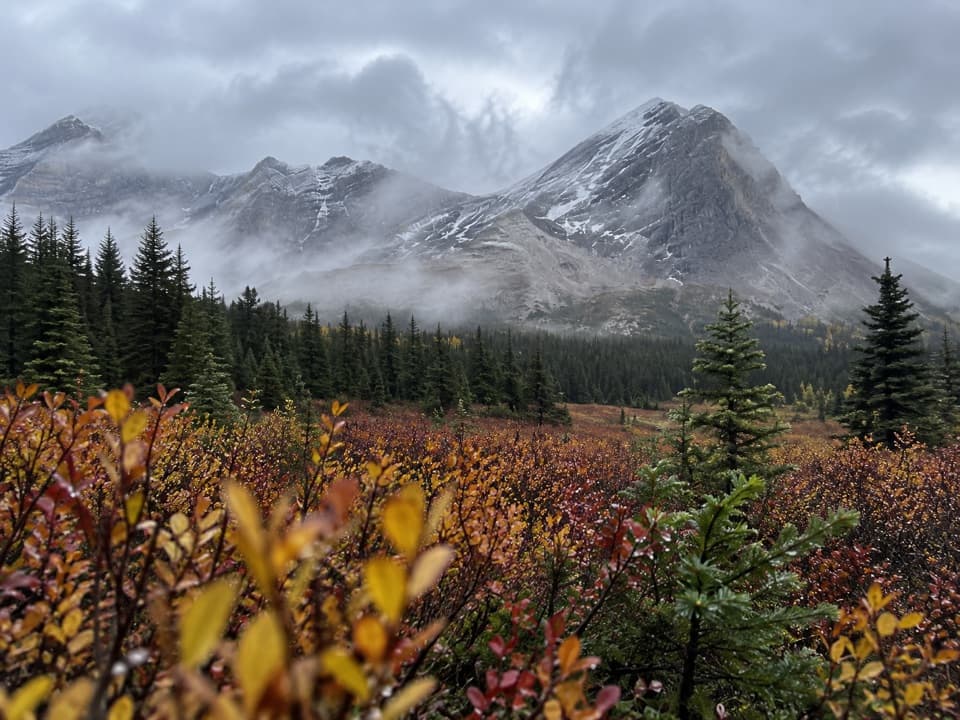 ChallengingSunset Pass Trail16.2 km · 6.5 hr · 17 km awayA steep forest climb opens onto remote meadows beneath a high pass.
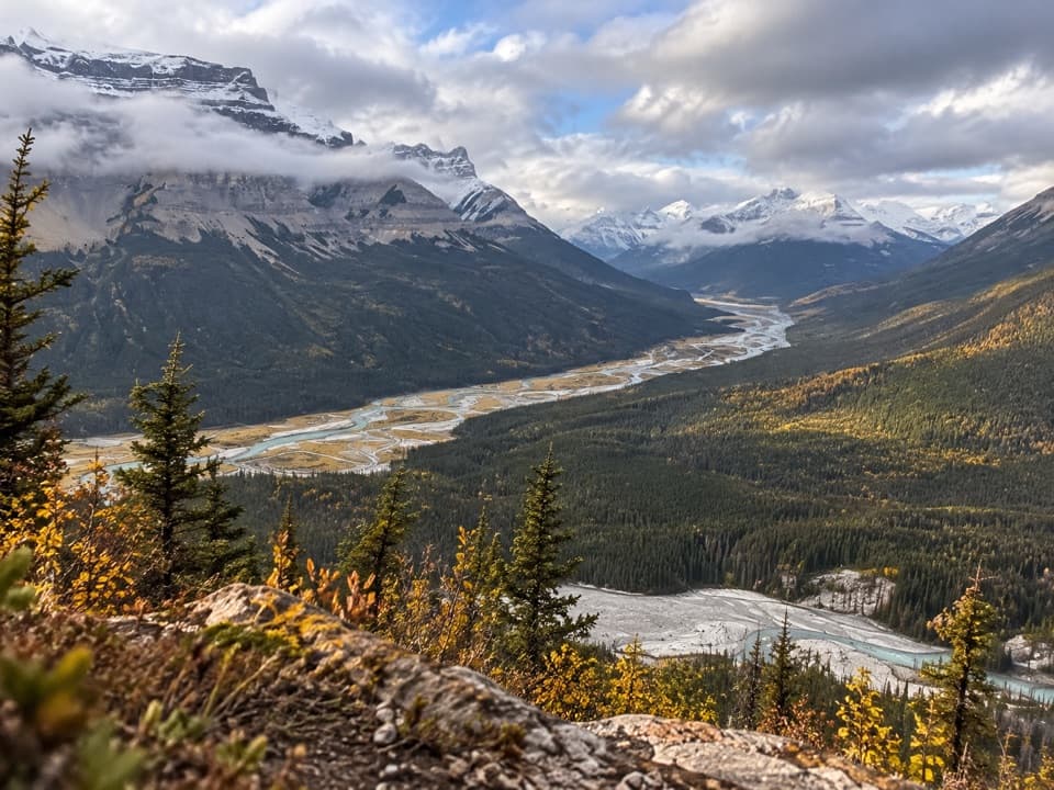 ChallengingSunset Lookout Trail9 km · 3.5 hr · 17 km awayA steep climb to a former lookout above two braided river valleys.
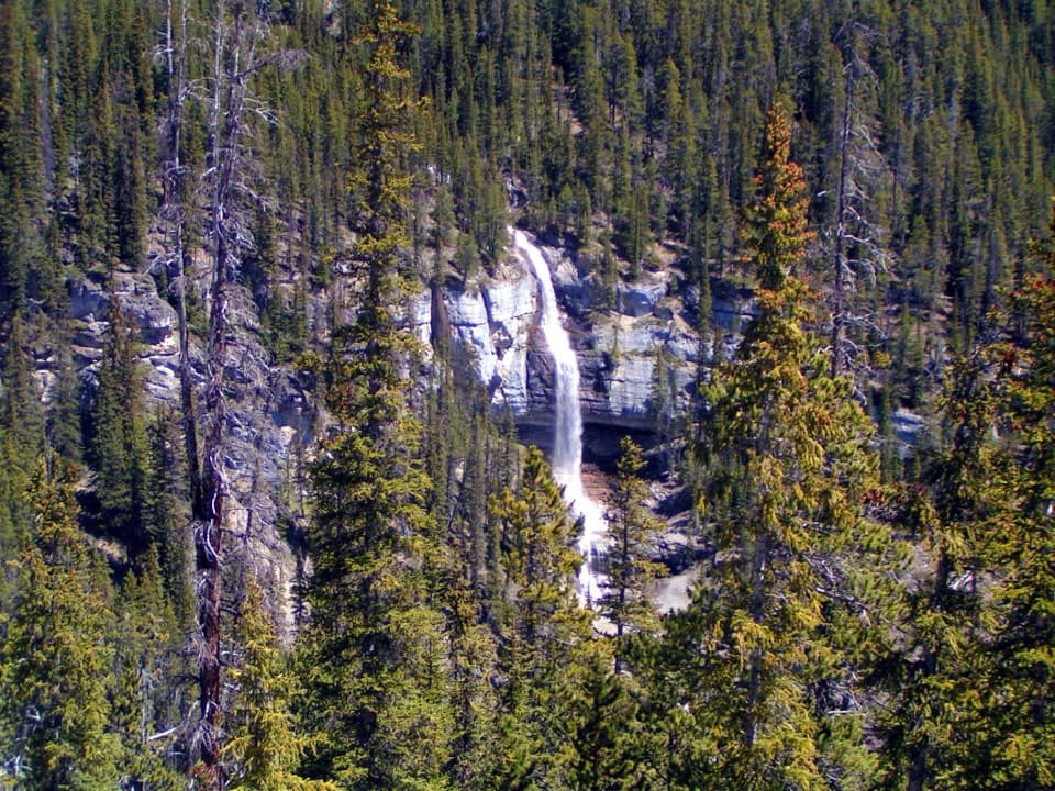 Scenic pullout · 1.1 km awayBridal Veil Falls ViewpointA glacier-fed waterfall you can see from the Icefields Parkway.
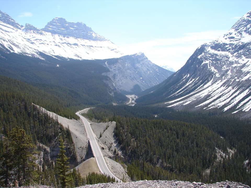 Scenic pullout · 1.4 km awayBig Bend ViewpointA quick pullout for the Parkway’s sweeping bend and mountain backdrop.
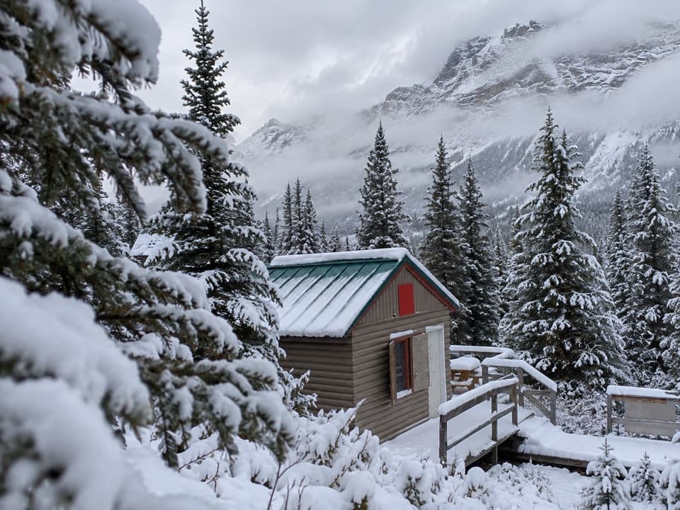 Lodging · 4.2 km awayHI Hilda Creek Wilderness HostelA remote, off-grid base beneath Parker Ridge for hikers and skiers.
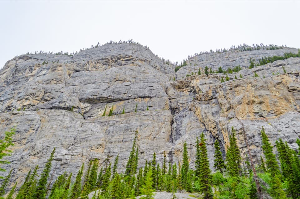 Sight · 5.4 km awayWeeping Wall ViewpointSnowmelt falls give way to winter ice columns on this cliff.
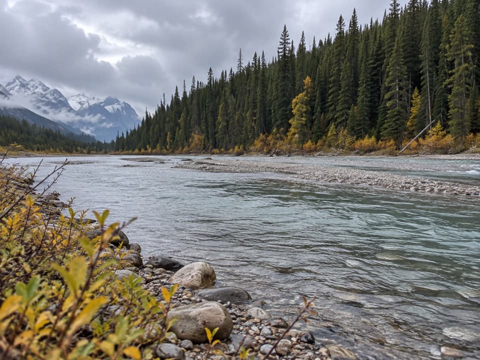 Picnic area · 10.8 km awayColeman Creek Day-use AreaA creekside picnic break on the long Icefields Parkway drive.
Parkwolf’s Banff ranking
The audio tour guide for the drive, plus offline maps, trails, and wildlife heatmaps for when the signal drops.




