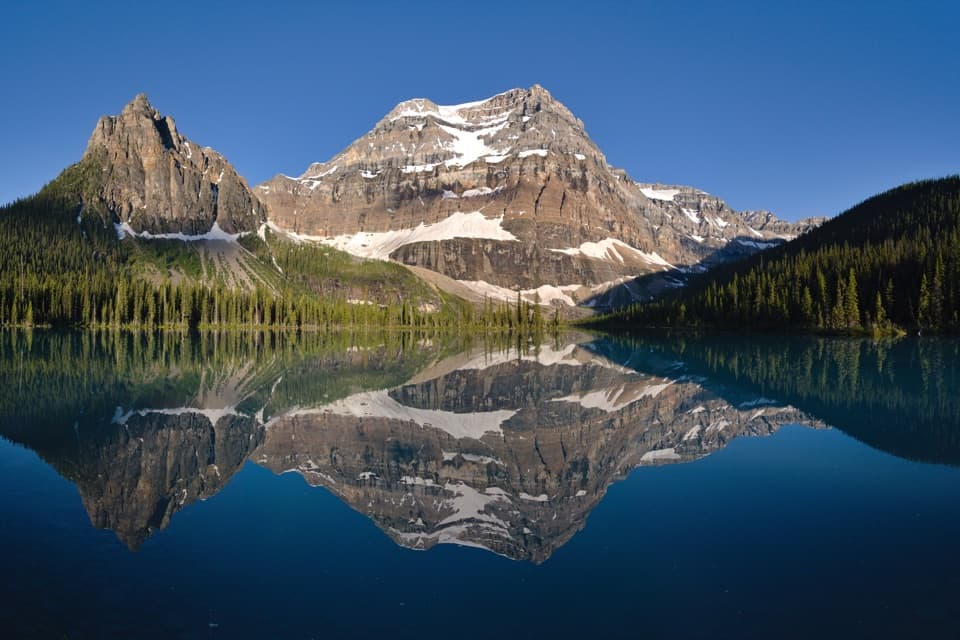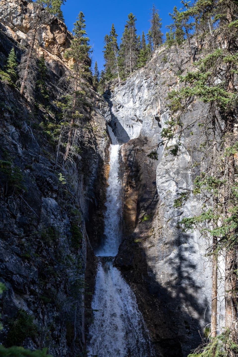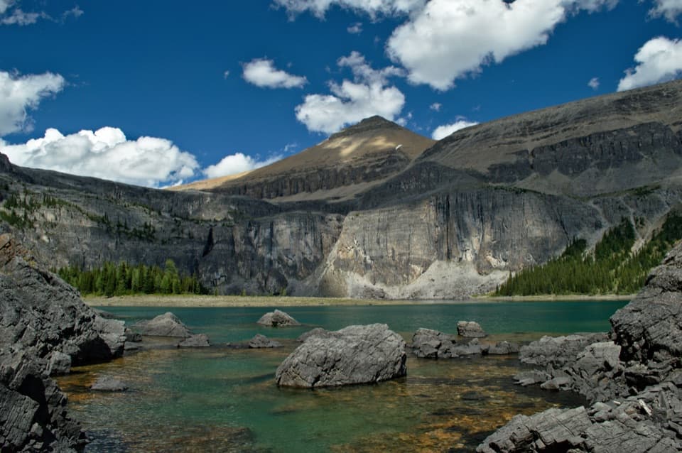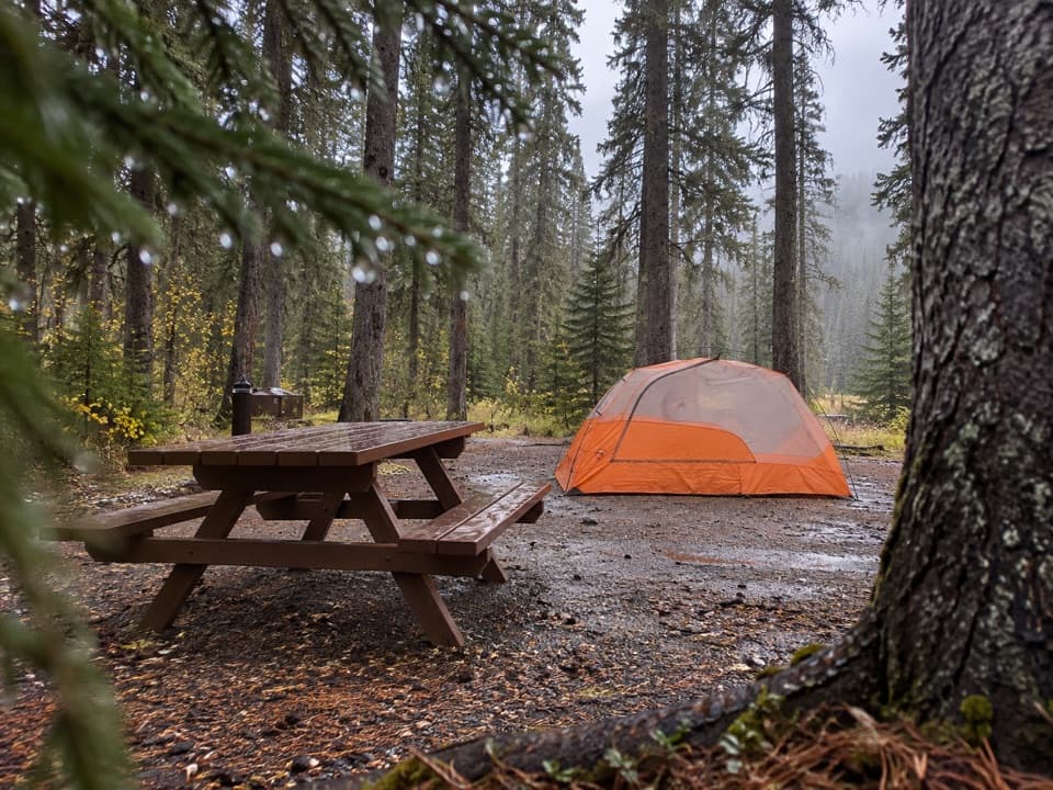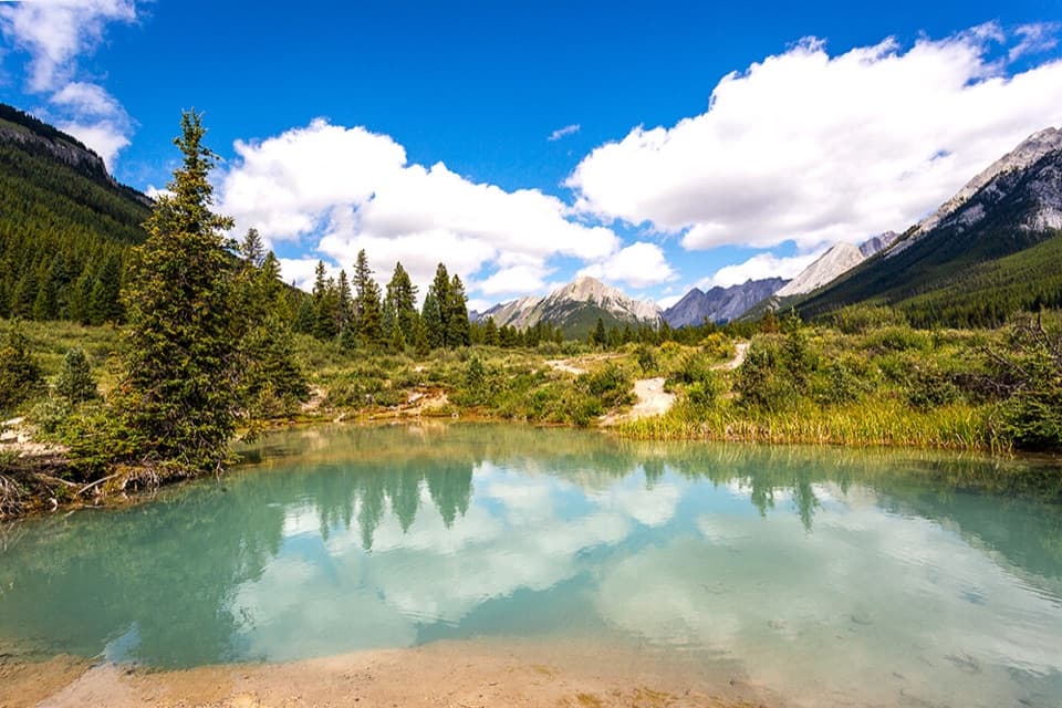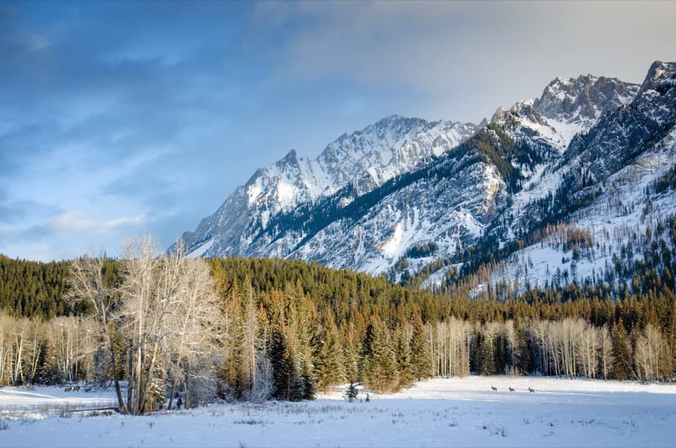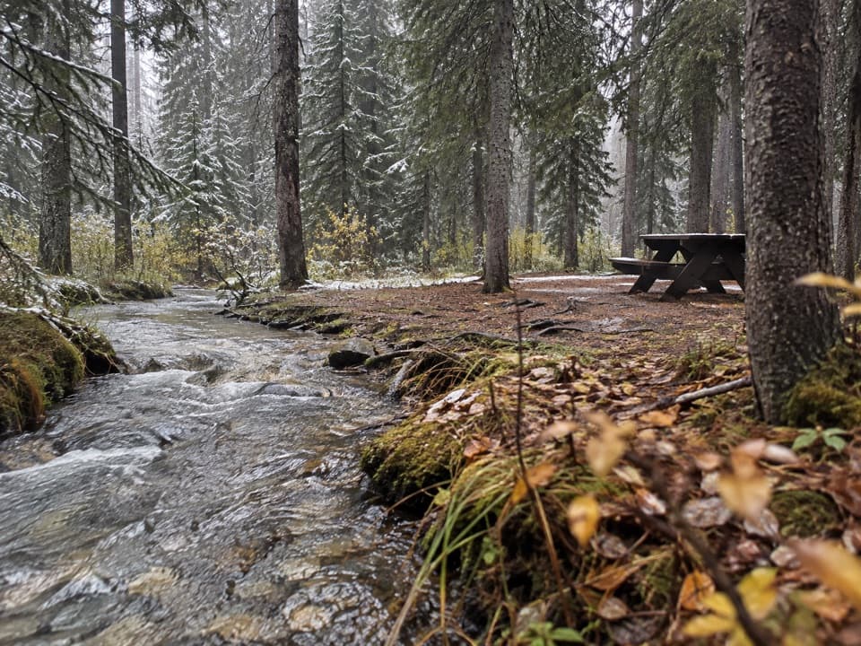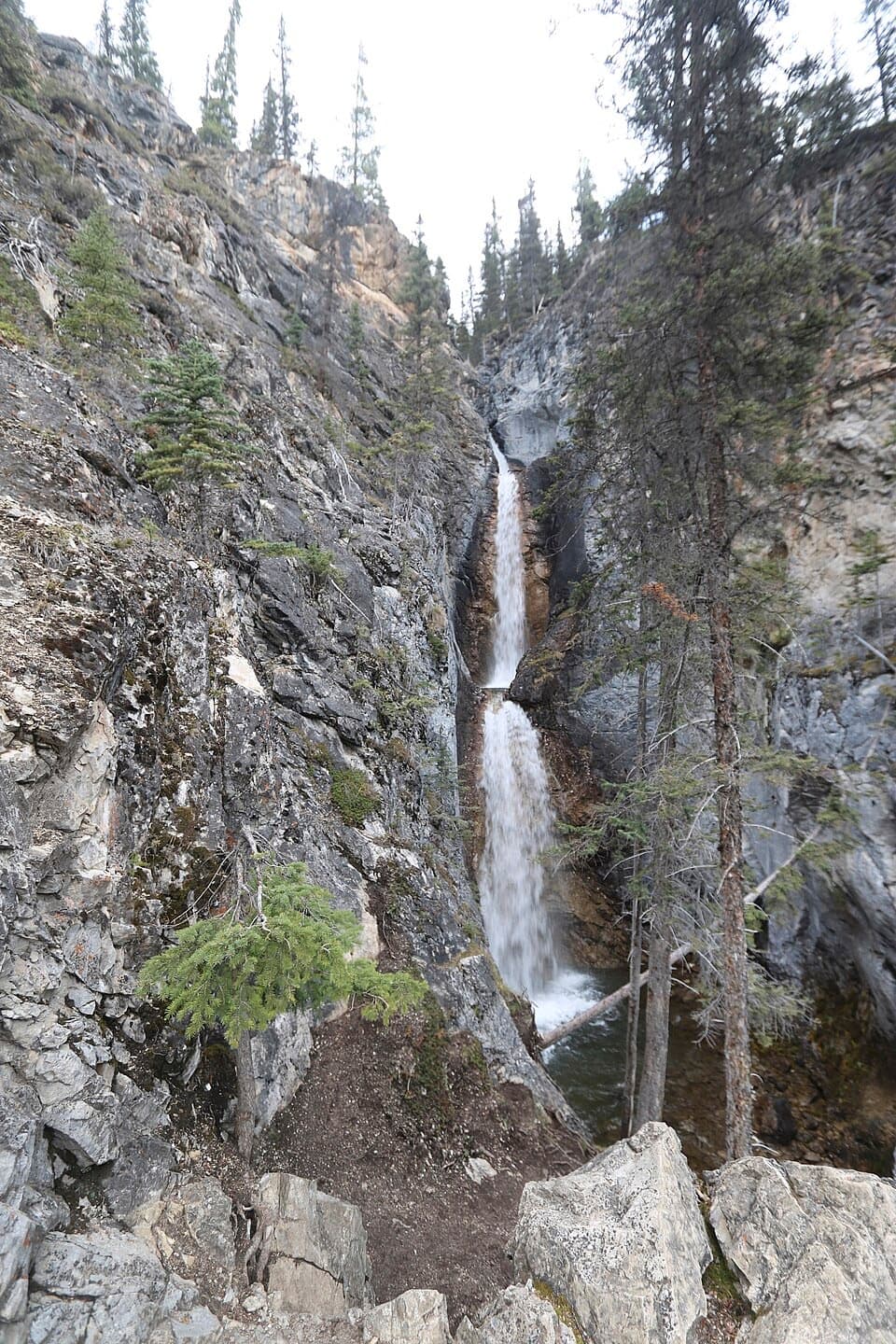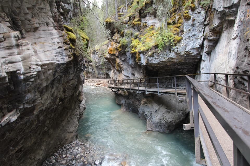
Johnston Canyon in Banff National Park

#4 of 50 sights in Banff

Sight · Banff National Park

Johnston Canyon

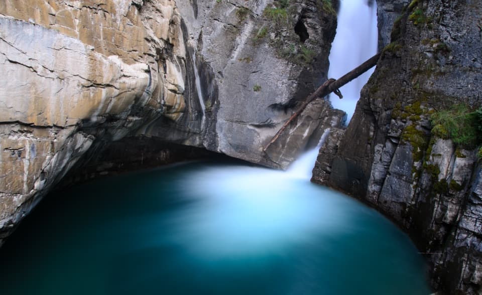
Railed catwalks lead to waterfalls in this steep, narrow canyon.

Photo: Wikimedia Commons
Type
Sight
Nearest trail
0.1 km
Audio stories
6 nearby
  • Trailhead
  • Parking
  • Restrooms
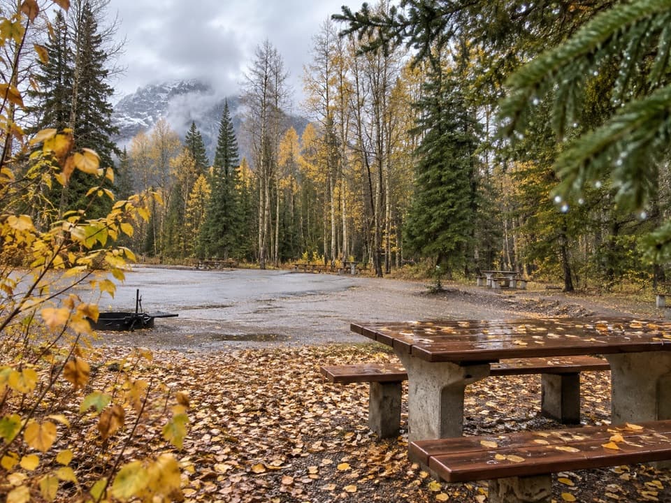
  • Picnic tables

Hear the audio tour

Johnston Canyon and the Falls

Overview

About Johnston Canyon

Why stop

  • Easy to tailor from a one-hour Lower Falls walk to the Ink Pots outing.
  • The 30 m Upper Falls add a substantial payoff.

Heads up

  • Narrow walkways and viewpoints bottleneck in busy periods.
  • The Upper Falls and Ink Pots add a substantial climb.
Johnston Canyon is a narrow creek canyon on the Bow Valley Parkway, where a railed trail follows Johnston Creek through steep rock walls to two waterfalls. Go for the walk inside the canyon itself: the tight rock walls, creek and cliffside catwalks make this a more immersive stop than a quick roadside viewpoint.
Parkwolf’s verdictWhy go into the canyon

Map

Where it is

Loading the Banff map
Full map
SightJohnston Canyon51.24586, -115.84075
Keep this map with you offline in the Parkwolf app

Plan your stop

Before you go

8 active Banff alerts

  • ClosureJohnston Canyon Trail and Day Use Area closedMentions this placeJohnston Canyon Trail and Day Use Area are closed to all traffic and travel through December 11, 2026, because construction work requires protecting public and workers’ safety.Official details
  • ClosureBaker Lake and Hidden Lake campgrounds closed to campingCamping is prohibited at Baker Lake and Hidden Lake campgrounds through December 1, 2026, because a grizzly bear entered campsites and investigated tents and gear; the closures reduce risk to…Official details

See all 8 alerts
A park ranger sits on a dash-mounted phone, talking, as Parkwolf’s Tour Guide plays “Army Cutworm Moths: A Grizzly Bear Buffet” on Grand Loop Road below Dunraven Pass in Yellowstone
Parkwolf Tour GuideThe highest, rockiest slopes around here are a summer buffet for grizzly bears.

Banff Tour Guide

Your drive to Johnston Canyon, narrated.

Parkwolf is a GPS audio tour guide for Banff National Park. As you drive, it chimes in with what’s ahead: hidden gems, upcoming stops, history, geology, and wildlife, right through your car’s speakers.

See the Banff audio tour

Recorded for this place

Johnston Canyon and the Falls
0:00 / 0:26
“Johnston Canyon is coming up, where railed catwalks carry you beside the creek through tight limestone walls. I'd choose Lower Falls for a shorter visit: allow about an hour round trip, with some uphill walking.”

Plays as you drive up to Johnston Canyon in the Parkwolf Banff Tour Guide.

More stories near here in the app

  • Moose Meadows to the Ink Pots
  • A Fish Nest Under the Gravel
  • The Woodpecker's Sap Wells
  • A Nest Beside the Waterfall
  • 185 audio storiesacross Banff’s roads, triggered by GPS as you drive
  • Wildlife heatmapsfor Grizzly Bear, Brown Bear, Gray Wolf, and 13 more
  • Works offlinemaps, 162 trails, 90 places, and audio download before you lose signal
  • CarPlay readysimple controls built for the drive
★★★★★
“…Loved the commentary as you drove thru. I’m sure the app can do more than I know but the tips were very helpful. I’m gonna use it when we go to Banff next month.”
tesja22App Store review
Download Parkwolf on the App StoreGet Parkwolf on Google Play

4.7 from 8,600+ ratings

Guide

More about Johnston Canyon

Choose your turnaroundThe Lower Falls are 1.1 km each way with 85 m of elevation gain, about an hour round trip.

The Lower Falls are 1.1 km each way with 85 m of elevation gain, about an hour round trip. Reaching the Upper Falls is 2.4 km each way with 215 m of gain, around two hours round trip. The path is uneven pavement with narrow railed bridges, so passing can be awkward when it is busy; strollers are not recommended.

Keep going beyond the Upper FallsThe Upper Falls drop 30 m. A further 265 m reaches a viewpoint above them.

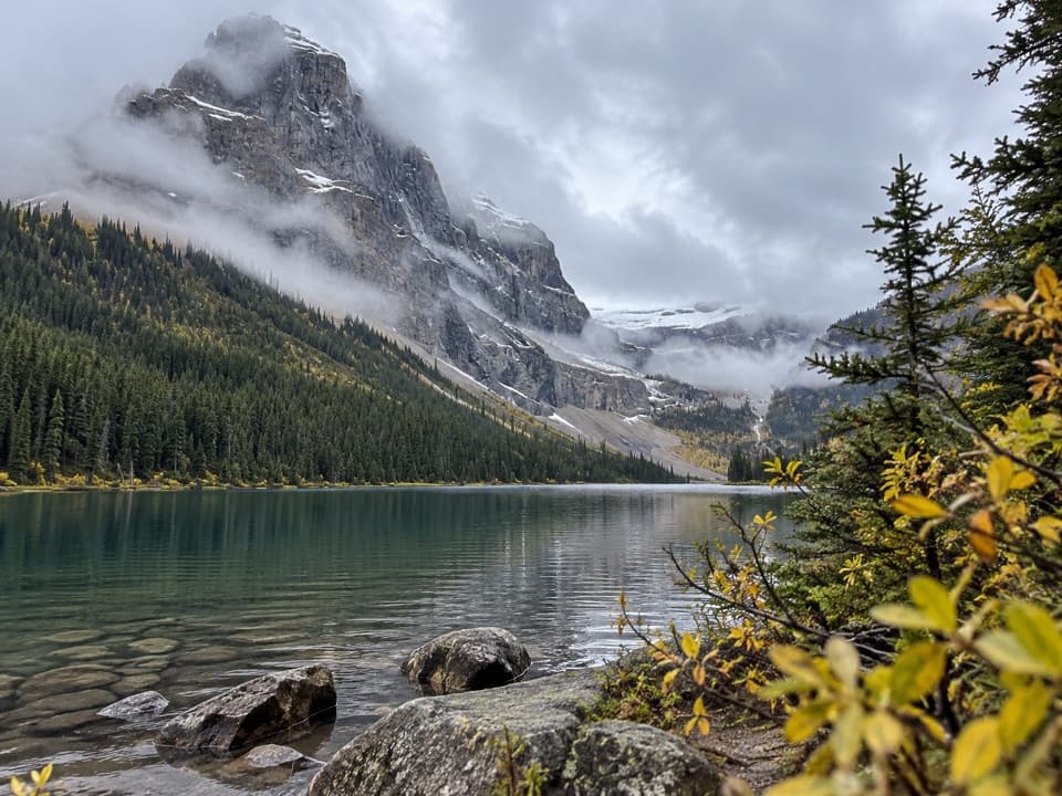
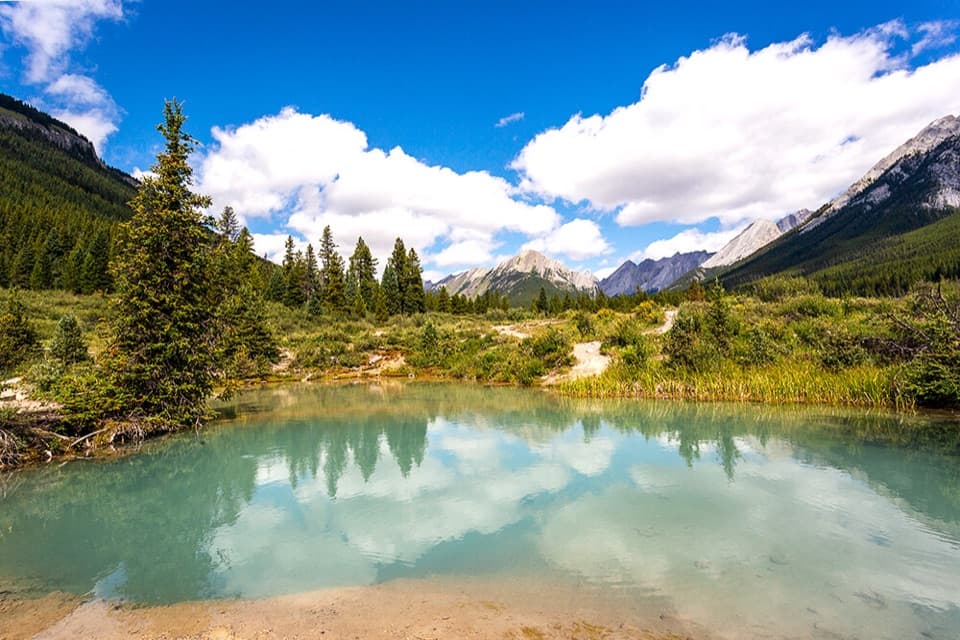
The Upper Falls drop 30 m. A further 265 m reaches a viewpoint above them. Beyond that, the longer Ink Pots route climbs through forest to a meadow of shallow pools bubbling up from underground. It is 5.5 km one way and about four hours round trip, a much bigger outing than the falls walk.

Plan for a busy trailThe canyon is especially busy from June through October, and limited parking fills quickly.

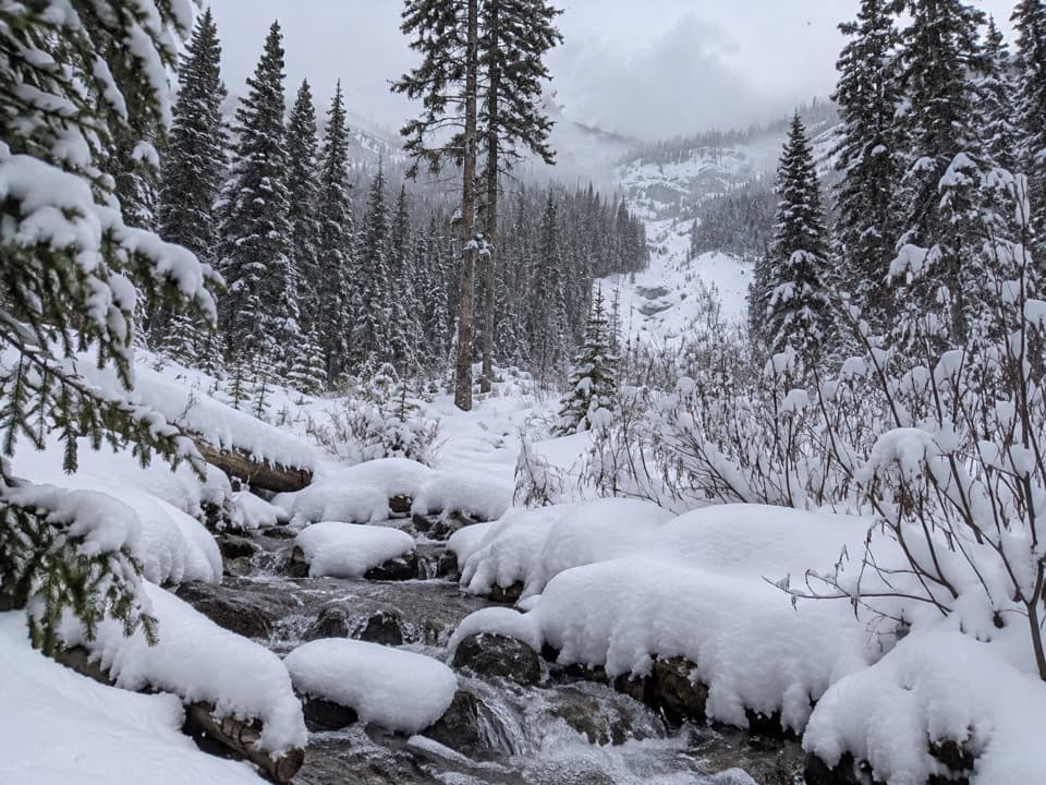
The canyon is especially busy from June through October, and limited parking fills quickly. Start early for a quieter walk and an easier chance of finding a space. The day-use area has limited paved parking, including eight accessible stalls, accessible flush toilets, picnic tables and benches. In winter the path can be icy, so traction devices help. Carry drinking water and snacks; do not count on a meal stop at the trailhead.

Look for the catwalks in your photosInclude a stretch of railing, creek and canyon wall in the same frame; that shows how the trail…

Include a stretch of railing, creek and canyon wall in the same frame; that shows how the trail threads through the narrow gorge. At the falls, leave some of the surrounding rock in the composition so the drop still feels part of the canyon.

Wildlife

Wildlife in Banff

All Banff wildlife maps

Sighting maps show where each species has been reported across Banff. Wildlife moves, so no sighting is guaranteed.

Keep exploring

Near Johnston Canyon

See it all on the map

Trails nearby

More stops nearby

Parkwolf’s Banff ranking

Top sights in Banff

All 90 places
  1. 1Lake LouiseSight
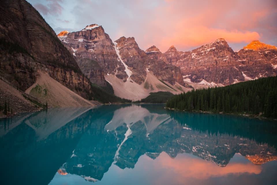
  2. 2Moraine LakeSight
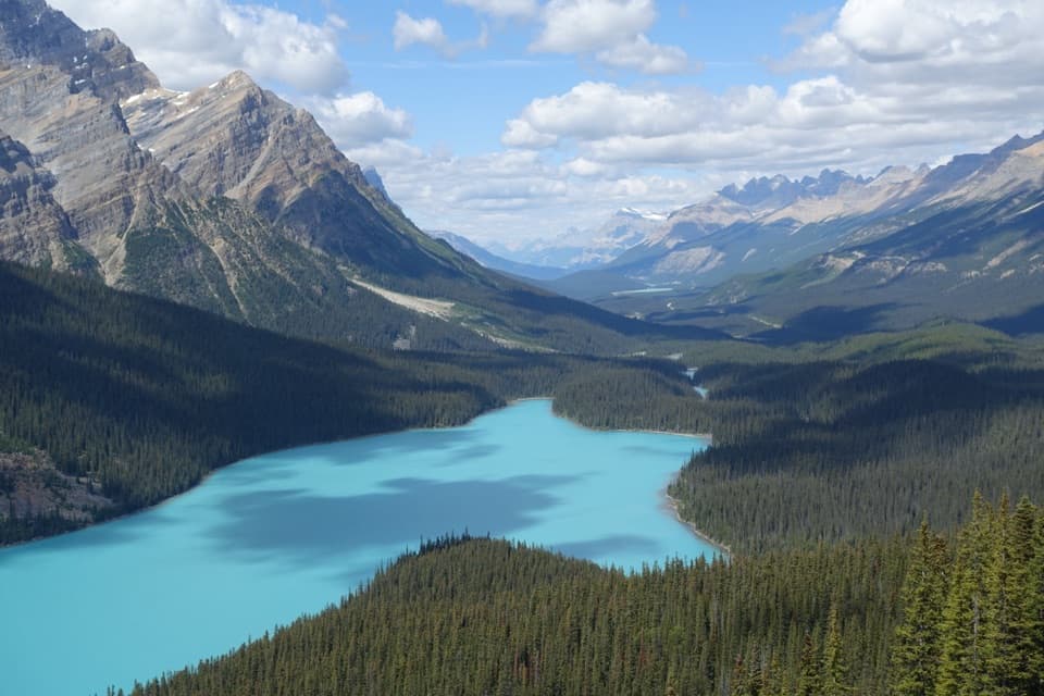
  3. 3Peyto Lake ViewpointSight
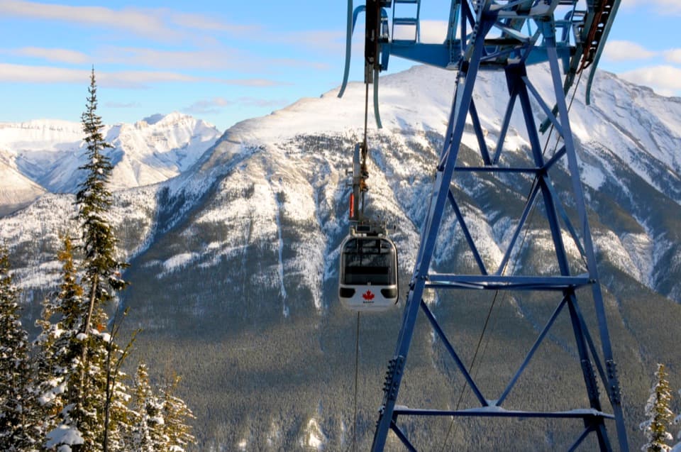
  4. 5Banff GondolaSight
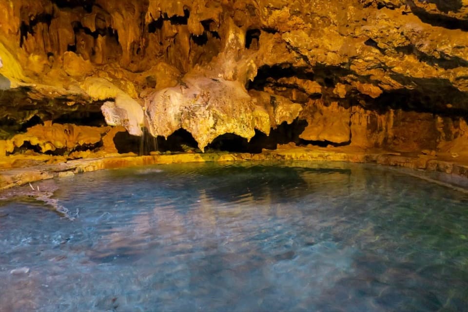
  5. 6Cave and Basin National Historic SiteSight
  6. 7Bow LakeSight

Take Parkwolf to Banff.

The audio tour guide for the drive, plus offline maps, trails, and wildlife heatmaps for when the signal drops.

4.7 from 8,600+ ratings

Download Parkwolf on the App StoreGet Parkwolf on Google Play