
Place · 6.7 mi away
Challenging
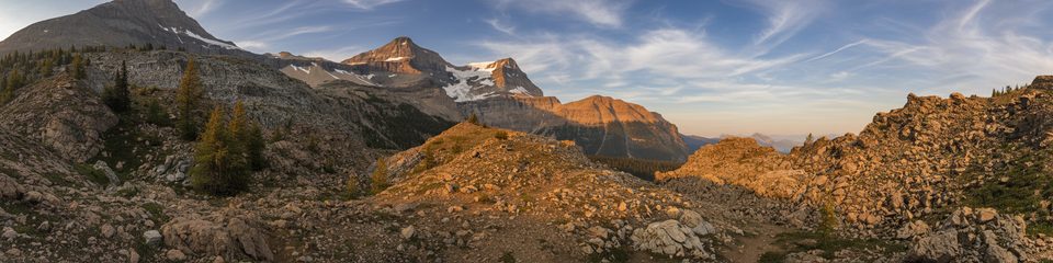
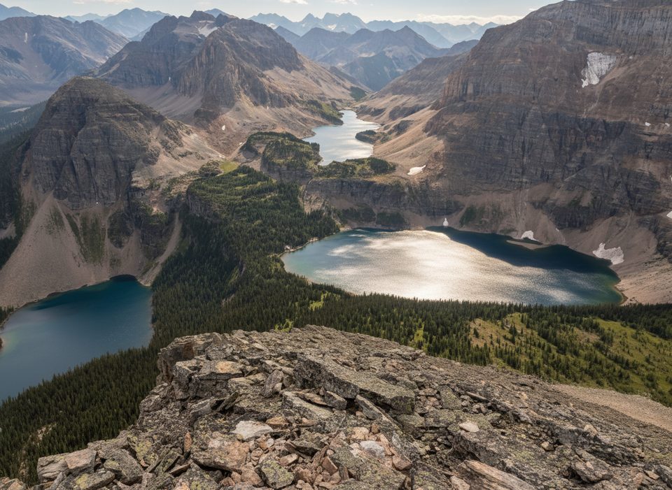
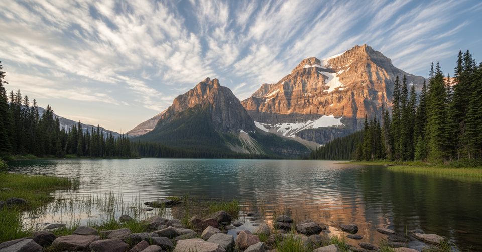
If you like your mountain passes earned the hard way, Ball Pass delivers. It climbs from a regenerating burn up Hawk Creek to a wide, view‑soaked saddle on the AB/BC and park boundary. Expect solitude, a surprisingly wild feel, and top‑shelf vistas of Mount Ball, Isabelle Peak, Hawk Ridge, and the Shadow Lake basin.
Plan for about 11.0 miles total out‑and‑back to the pass (5.5 miles one way) with roughly 3,494 ft of gain. Strong hikers often clock it in about 7 hours round‑trip, but the rough lower trail and obstacles make progress slower than the mileage suggests.
The first miles wind through a recovering forest from past wildfires—open understory, sun exposure, and a lot of downed logs to climb over or around. Around 2.7 miles (4.4 km) there’s a large stream with small waterfalls that makes a perfect break spot. Higher up (near ~4 miles/6.5 km), the trees thin into airy alpine meadows that pop with wildflowers in season. Crest the pass and the world opens up—panoramic rock walls and glacially carved valleys with sightlines to Mount Ball and company. A short wander beyond the crest often improves the views.
From the pass, it’s about 1.7 miles (2.7 km) into Banff to Ball Pass Junction Campground (no fires; permits required for overnight). Strong backpackers link this corridor to Shadow Lake or longer loops; Shadow Lake Lodge is another option if you’re extending the trip. Water is available from creeks—treat or filter. The tread is generally obvious, but the regrowth forest can be confusing; download a map or GPS track. Trekking poles help with balance over logs and creek crossings.
Late July through September is the sweet spot. Snow can linger into July, and early season can be muddy with more deadfall. Late summer brings peak wildflowers and the most reliable footing. Be aware that sections can have seasonal access restrictions (especially August–September) for grizzly bear protection. Early or late‑season travel can encounter snow and avalanche hazards; check current conditions.
This is a tougher hike than the numbers imply. The downed trees in the lower miles are a time‑sink, and the climb is sustained. You’ll likely have long stretches to yourself—great if you want quiet, but come self‑sufficient with layers, food, water treatment, and bear spray.
If you’re chasing big alpine payoff with fewer people and don’t mind scrappy trail, yes. If you prefer a smoother path for a similar view quotient, consider other established day hikes in the region and save Ball Pass for when you’re up for a rugged day or building a multi‑day around Shadow/Egypt Lake.
Floe Lake parking lot off Highway 93 (Banff–Windermere Parkway).
Expect extensive deadfall in lower miles, creek crossings, confusing sections in regrowth forest, lingering snow early season, and potential late‑summer grizzly access restrictions. Winter/shoulder seasons require avalanche awareness.
Place · 6.7 mi away
Place · 6.7 mi away
Place · 7 mi away
Place · 7.6 mi away
Moderate · 10.5 mi away
Challenging · 11 mi away
Easy · 11.7 mi away
Challenging · 11.7 mi away

Parkwolf Tour Guide
