Parking
Small parking area at the Great Divide Trailhead near Lake Louise Drive and the old Highway 1A; arrive early on busy days.
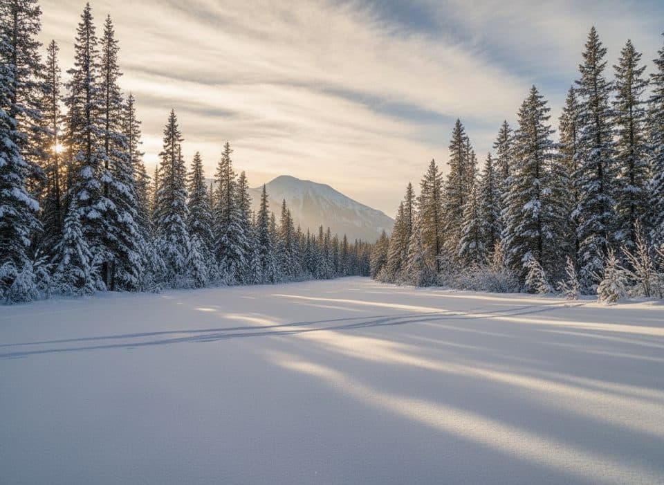
Banff National Park, AB
Gentle old Highway 1A corridor to the Great Divide Arch
Overview
Yes, if you want a long, approachable outing with a memorable boundary landmark and gentle grades. The route is more about the old-road history, the Great Divide Arch, and a relaxed mountain-forest journey than continuous high-alpine views.
 Parkwolf’s verdictIs It Worth It?
Map & elevation
Plan your hike

The highest, rockiest slopes around here are a summer buffet for grizzly bears.
Banff Tour Guide
Parkwolf is a GPS audio tour guide for Banff National Park. As you drive, it chimes in with what’s ahead: hidden gems, upcoming stops, history, geology, and wildlife, right through your car’s speakers.
Recorded for this trailhead
Great Divide Trail: An Easy Walk on an Old Highway“The trailhead coming up is for the Great Divide Trail. This one is really unique because the path is actually the old, retired highway. That makes it a wide, flat, and super easy walk for just about anyone.”
Plays as you drive up to this trailhead in the Parkwolf Banff Tour Guide.
More stories near here in the app
“…Loved the commentary as you drove thru. I’m sure the app can do more than I know but the tips were very helpful. I’m gonna use it when we go to Banff next month.”


Trail guide
The Great Divide follows the old Highway 1A west from the Great Divide Trailhead near Lake Louise to the Great Divide Arch at the Alberta–British Columbia boundary. It is a broad, mostly gravel corridor through dense Rocky Mountain forest, with occasional mountain glimpses and a clear historical destination rather than a summit climb.
Plan on about 12.4 miles (20 km) for the full out-and-back to the arch. The physical corridor is roughly 9.8–10 km (6.2 miles) one way, and the route trends gently downhill toward the west with rolling grades rather than sustained climbing.
The route crosses the Continental Divide landscape, where drainage separates toward the Pacific and Atlantic watersheds. Bears and moose are possible in this forested corridor: carry bear spray, make noise, and follow current bear-country guidance.
Wildlife
 122 sightingsGrizzly BearMost seen around 6 AMSighting map
 150 sightingsBrown BearMost seen around 6 PMSighting map
 44 sightingsGray WolfMost seen around 6 AMSighting map
 12 sightingsRiver OtterMost seen around 8 PMSighting map
 67 sightingsMooseMost seen around 8 PMSighting map
 465 sightingsBlack BearMost seen around 9 PMSighting map
Sighting maps show where each species has been reported across Banff. Wildlife moves, so no sighting is guaranteed.
Keep exploring
 ModerateBig Beehive Trail10.5 km · 5 hr · 0.7 km awayClassic Lake Louise climb to the Big Beehive via Lake Agnes and Mirror Lake
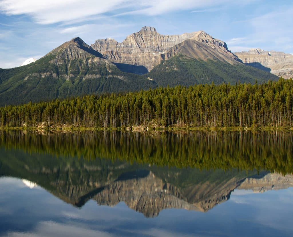 ChallengingMount Niblock14.8 km · 7 hr · 0.7 km awayDemanding Mount Niblock scramble from Lake Louise via Lake AgnesEasyFairview Lookout2.4 km · 1 hr · 0.7 km awayShort climb to a classic Lake Louise postcard view
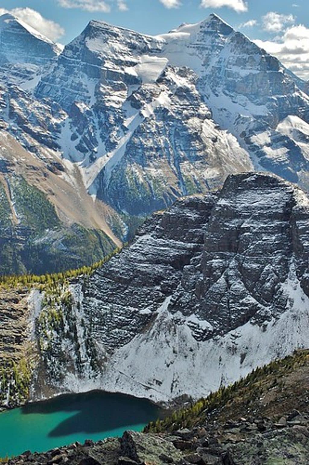 ModerateMount St. Piran12.6 km · 5.6 hr · 0.7 km awayA demanding, non-technical summit hike from Lake Louise to wide-open Bow Valley views
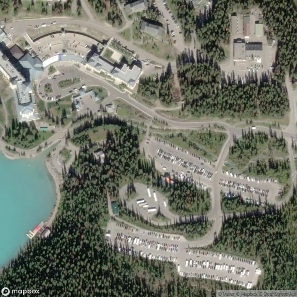 EasyLake Louise Lakeshore4.7 km · 1 hr · 0.8 km awayEasy out-and-back along Lake Louise's north shore to the glacial creek at the head of the lake
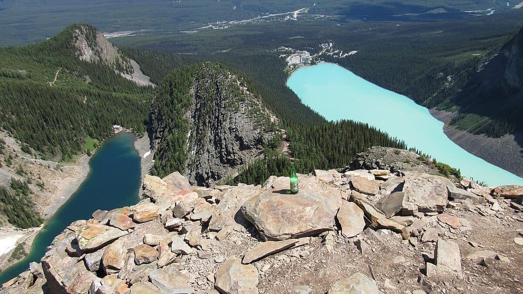 ChallengingDevil's Thumb12.4 km · 5.9 hr · 0.8 km awayStrenuous, unsigned scramble to a two-lake panorama above Lake LouiseChallengingHighline: Lake Agnes to Six Glaciers23 km · 5 hr · 0.9 km awayA high-alpine loop linking two Lake Louise teahouse trails
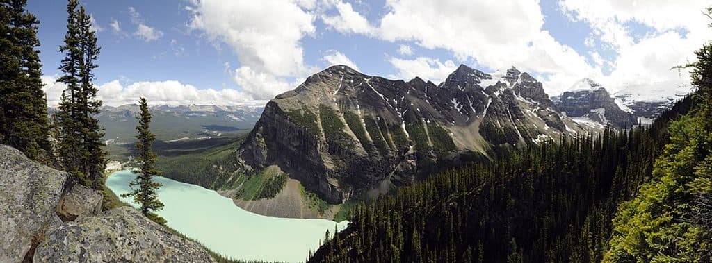 ChallengingFairview Mountain10.6 km · 5.5 hr · 0.9 km awayDemanding Lake Louise summit hike to Mount Fairview’s wide alpine views
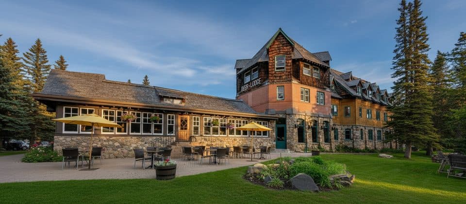 Lodging · 0.4 km awayDeer LodgeHistoric lodge steps from Lake Louise with rustic, old-school charm
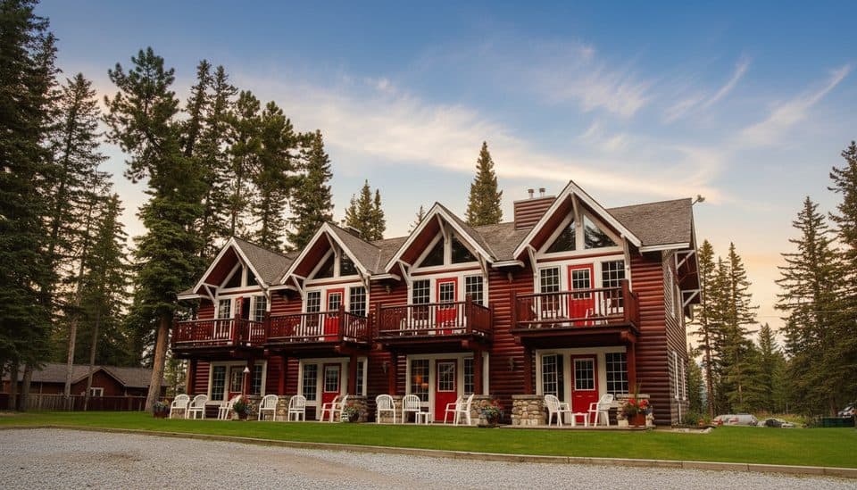 Lodging · 0.6 km awayParadise Lodge and BungalowsCharming heritage cabins a 15-minute walk from Lake Louise
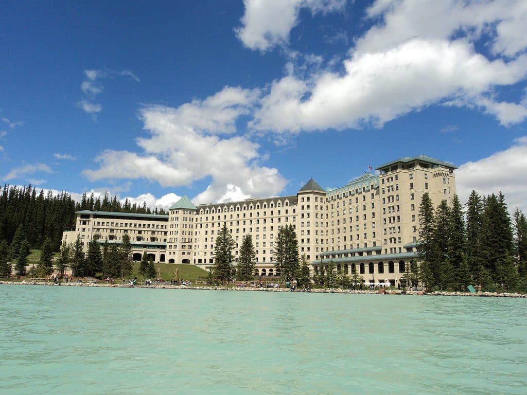 Lodging · 0.9 km awayFairmont Chateau Lake LouiseGrand lakeside icon with knockout Victoria Glacier views
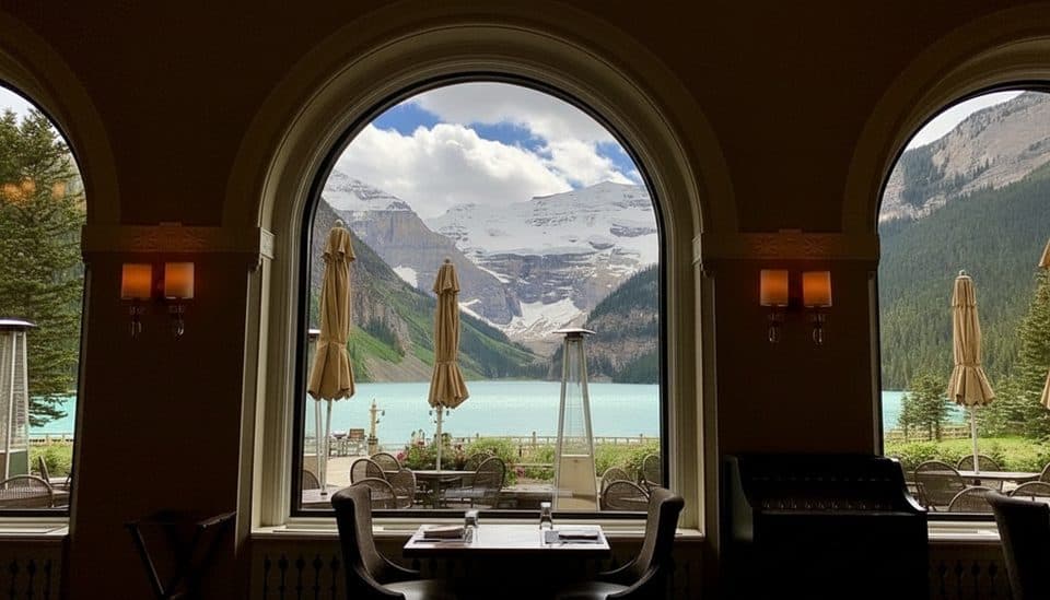 Restaurant · 0.9 km awayLakeview LoungeCocktails and casual meals with front-row views of Lake Louise
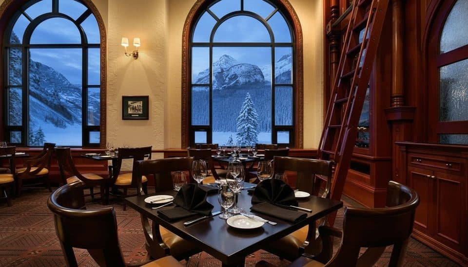 Restaurant · 0.9 km awayThe Walliser StubeCozy Swiss fondue with Lake Louise views inside the Chateau
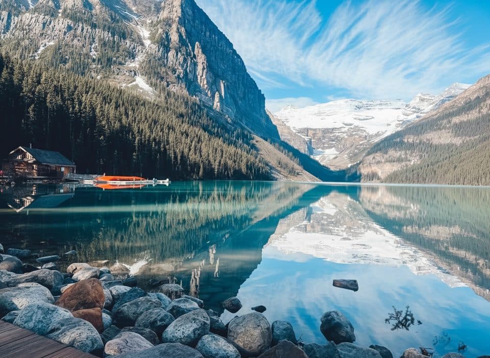 Sight · 0.9 km awayLake Louise BoathouseIconic red-canoe rentals on turquoise Lake Louise
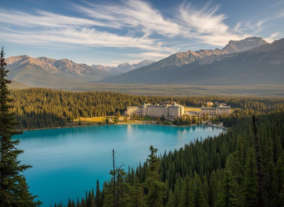 Sight · 1.6 km awayLake Louise ViewpointQuick climb to Lake Louise’s classic postcard view from above
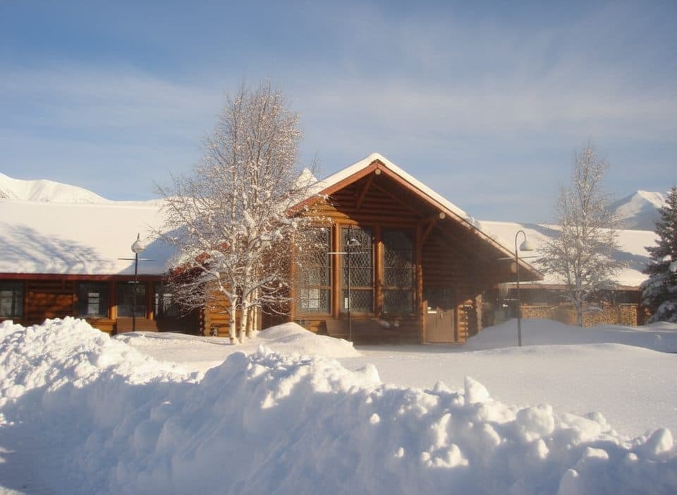 Restaurant · 1.6 km awayThe Station RestaurantHistoric rail‑station eatery with a garden patio and train views
Parkwolf’s Banff ranking
The audio tour guide for the drive, plus offline maps, trails, and wildlife heatmaps for when the signal drops.




