Parking
Access the Paradise Valley Trailhead on Moraine Lake Road by Parks Canada shuttle or permitted commercial transit; personal vehicles are not permitted on the road. Toilets are available at the trailhead.
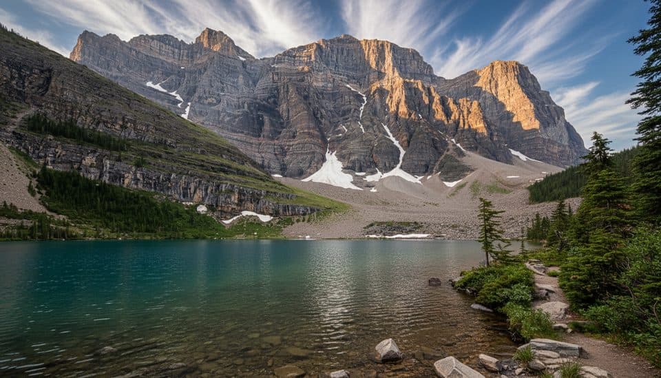
Banff National Park, AB
A moderate alpine-lake hike with a quieter route to Mount Temple views
Overview
Map & elevation
Plan your hike

The highest, rockiest slopes around here are a summer buffet for grizzly bears.
Banff Tour Guide
Parkwolf is a GPS audio tour guide for Banff National Park. As you drive, it chimes in with what’s ahead: hidden gems, upcoming stops, history, geology, and wildlife, right through your car’s speakers.
Recorded for this trailhead
Paradise Valley Trailhead: A Quieter Alternative“The turnoff you're nearing is for the Paradise Valley Trailhead, the starting point for some excellent, less-traveled hikes.”
Plays as you drive up to this trailhead in the Parkwolf Banff Tour Guide.
More stories near here in the app
“…Loved the commentary as you drove thru. I’m sure the app can do more than I know but the tips were very helpful. I’m gonna use it when we go to Banff next month.”


Trail guide
Lake Annette is a 7.1-mile (11.4 km) out-and-back from the Paradise Valley Trailhead. Allow 3 to 4 hours, with about 345 metres of official elevation gain and 110 metres of loss. It is a moderate half-day outing for a quieter alpine lake, but the forested approach takes commitment before the views open up.
The route climbs through forest and crosses Paradise Creek before reaching Lake Annette beneath Mount Temple. Follow the mapped Paradise Valley Trail to the lake, then turn around. Do not continue toward Giant Steps or Sentinel Pass unless you are prepared for a different, longer trip.
Moraine Lake Road is closed to personal vehicles year-round. Take the Parks Canada shuttle or permitted commercial transit to the Paradise Valley Trailhead and plan ahead for seasonal access. Toilets are available at the trailhead, but there are no services along the walk. Carry water, food, layers, and bear spray, and keep dogs on leash.
Include a little trail in photos of Lake Annette, with Mount Temple behind the turquoise water for scale. The creek crossings, forest, and open lake give this walk more variety than the distance alone suggests.
Wildlife
 122 sightingsGrizzly BearMost seen around 6 AMSighting map
 150 sightingsBrown BearMost seen around 6 PMSighting map
 44 sightingsGray WolfMost seen around 6 AMSighting map
 12 sightingsRiver OtterMost seen around 8 PMSighting map
 67 sightingsMooseMost seen around 8 PMSighting map
 465 sightingsBlack BearMost seen around 9 PMSighting map
Sighting maps show where each species has been reported across Banff. Wildlife moves, so no sighting is guaranteed.
Keep exploring
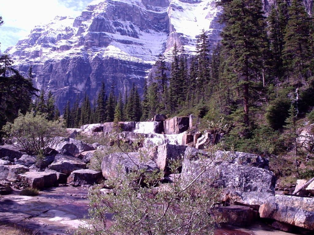 ChallengingParadise Valley and Giant Steps19.6 km · 7.5 hr · At the trailheadA demanding out-and-back through Paradise Valley to Lake Annette and the Giant Steps waterfall.ChallengingGiant Steps via Paradise Valley20.3 km · 7.5 hr · At the trailheadA long, quieter out-and-back through Paradise Valley to Lake Annette and the Giant Steps.
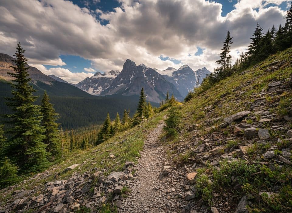 ChallengingMoraine Lake Highline Trail9.2 km · 4 hr · At the trailheadDifficult Mount Temple singletrack from Moraine Lake Road to Moraine Lake
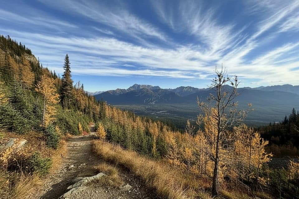 ModerateSheol Pass3.9 km · 1.5 hr · 3.1 km awayDemanding point-to-point connector from Saddleback Pass to Paradise ValleyEasyLouise Creek Trail5.6 km · 1.5 hr · 3.3 km awayA shady creekside climb from Lake Louise Village to the lake area
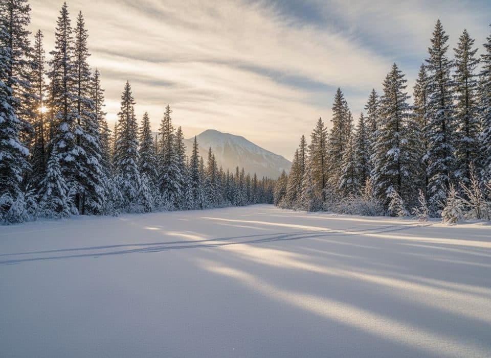 EasyGreat Divide Trail (Lake Louise)20 km · 4.5 hr · 3.4 km awayGentle old Highway 1A corridor to the Great Divide Arch
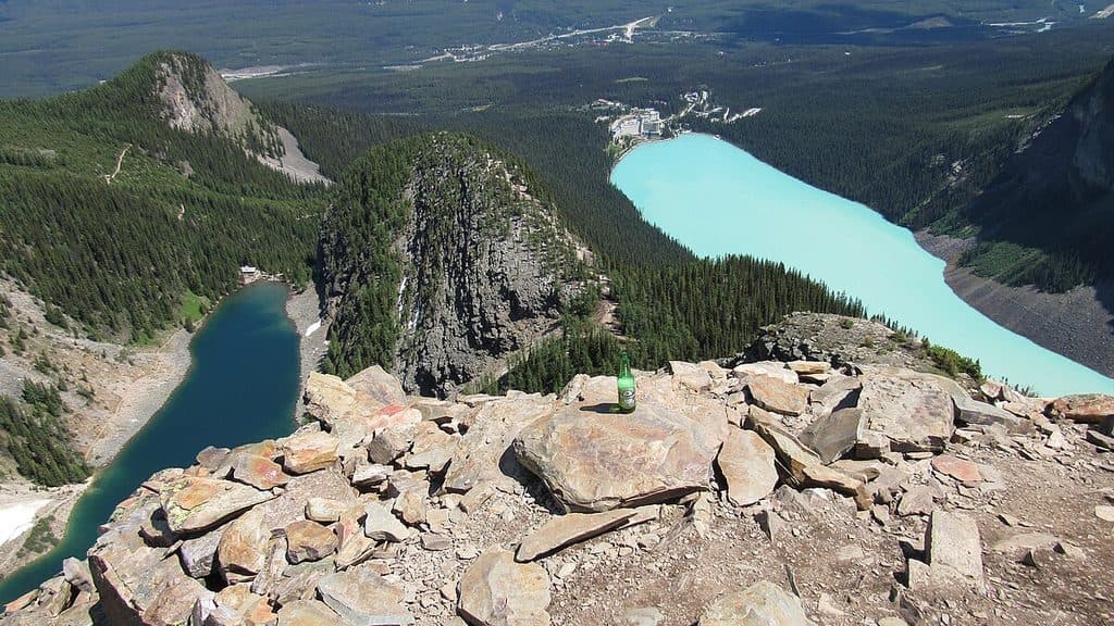 ChallengingDevil's Thumb12.4 km · 5.9 hr · 3.6 km awayStrenuous, unsigned scramble to a two-lake panorama above Lake Louise
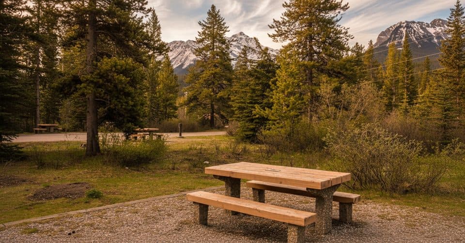 Campground · 1.7 km awayLake Louise Hard-sided CampgroundRV basecamp with power, showers, and shuttles to the marquee lakes
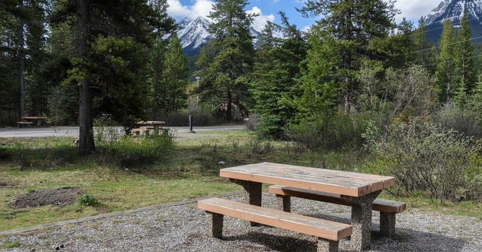 Campground · 2.4 km awayLake Louise CampgroundBig, well-equipped basecamp with bear-fenced tent loops by the Bow
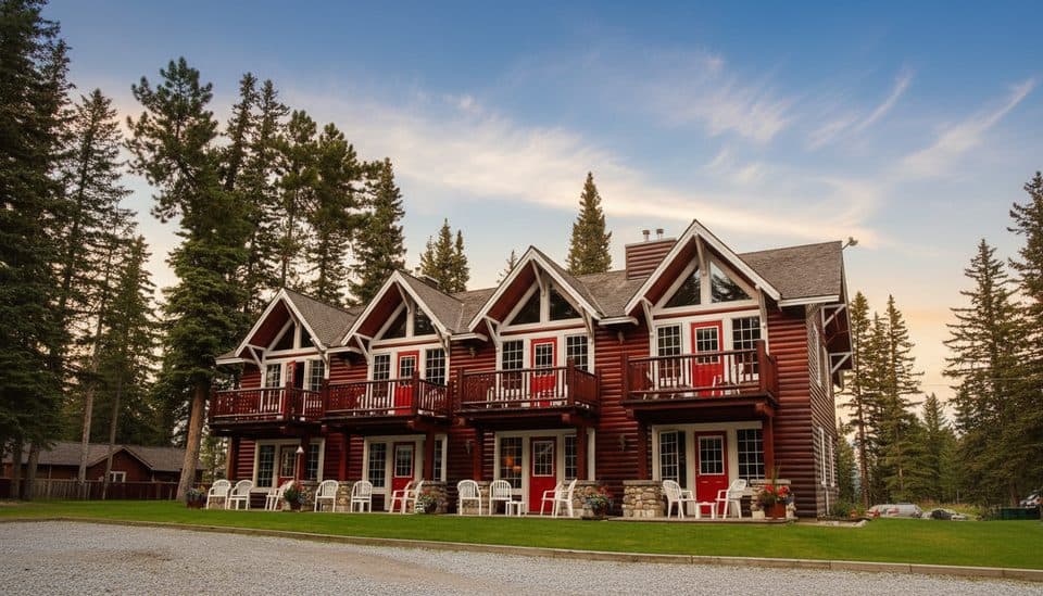 Lodging · 2.8 km awayParadise Lodge and BungalowsCharming heritage cabins a 15-minute walk from Lake Louise
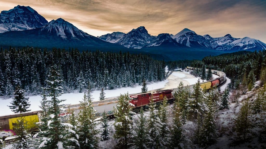 Sight · 3.1 km awayMorant’s CurveClassic train-and-mountain vista right off the Bow Valley Parkway
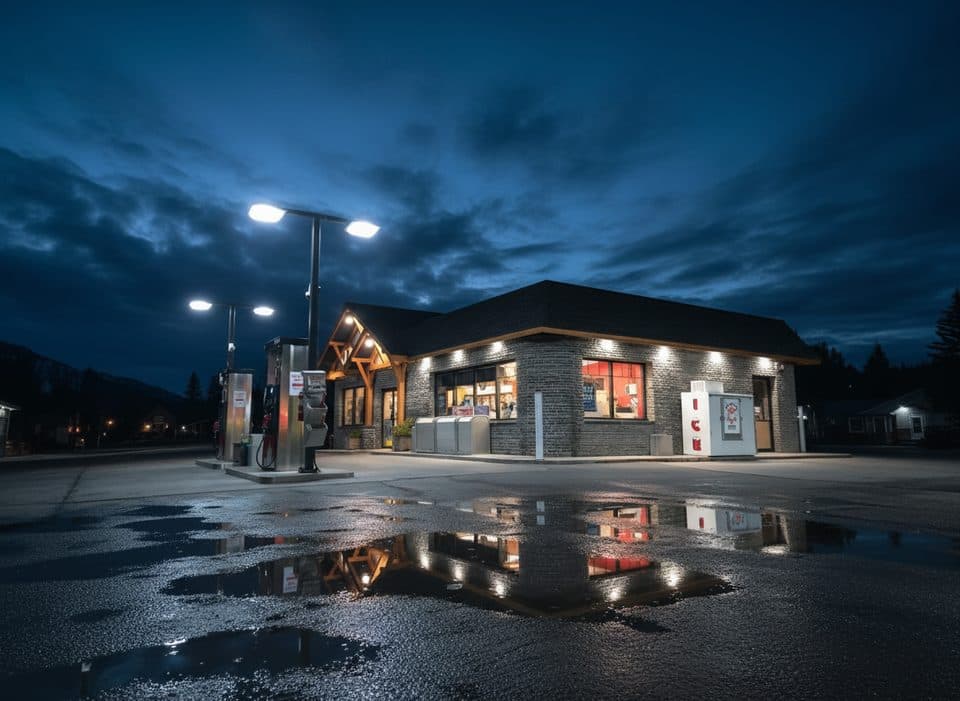 Gas station · 3.2 km awayPetro-CanadaEssential Lake Louise fuel stop with long hours and a c‑store
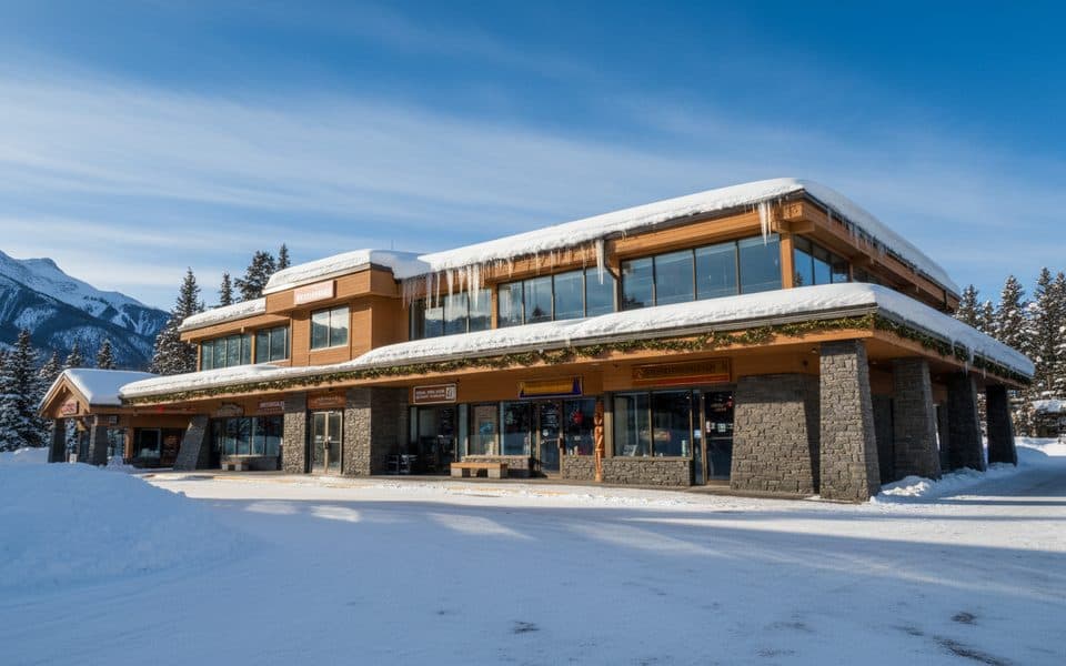 Store · 3.3 km awaySamson MallLake Louise’s one-stop hub for food, gear, and info
 Gas station · 3.4 km awayShellLake Louise’s go-to fuel stop with diesel and propane
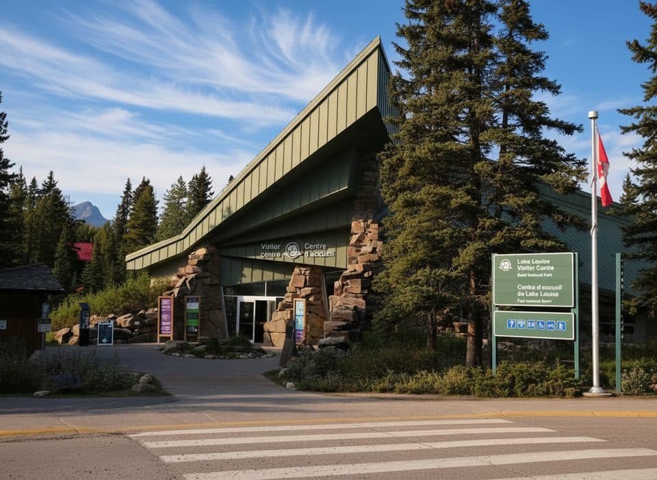 Visitor center · 3.4 km awayLake Louise Visitor CentreYour planning hub for permits, tips, and geology exhibits
Parkwolf’s Banff ranking

The audio tour guide for the drive, plus offline maps, trails, and wildlife heatmaps for when the signal drops.





