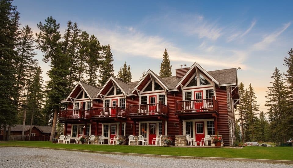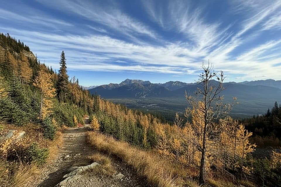
Sheol Pass in Banff National Park

Banff National Park, AB

Sheol Pass

Demanding point-to-point connector from Saddleback Pass to Paradise Valley

Length
3.9km
Time
1.5hr
Elev. change
464m
Difficulty
Moderate
  • Dogs allowed
  • High point 2,329 m

Hear the audio tour

Paradise Valley Trailhead: A Quieter Alternative

Overview

About Sheol Pass

Why go

  • Quieter alternative to the busiest Lake Louise approaches, with strong subalpine and larch-season scenery
  • Connects Saddleback Pass and Paradise Valley without backtracking

Heads up

  • Point-to-point logistics require a shuttle or second vehicle
  • The connector is less travelled and some junctions can be confusing
  • The route loses substantially more elevation than it gains in the Saddleback-to-Paradise direction
Sheol Pass is the demanding point-to-point connector between Saddleback Pass and the Paradise Valley Trail. It links two classic Lake Louise-area routes for hikers travelling between the high country above Lake Louise and Paradise Valley.
Parkwolf’s verdictWhy hike it

Map & elevation

The route

Loading the Banff map
Full map
Elevation1,865–2,329 m
TrailheadSaddleback Pass51.39369, -116.21590
Keep this map with you offline in the Parkwolf app

Plan your hike

Before you go

Parking

Access the chosen start through the Lake Louise/Saddleback Pass approach. The route ends at the Paradise Valley Trail junction, so arrange a shuttle or second vehicle rather than treating Lake Annette as this trail’s start. Confirm current Lake Louise, Moraine Lake Road, shuttle, and parking rules with Parks Canada before travelling.

Safety

Check Parks Canada trail conditions, wildlife advisories, access rules, and seasonal restrictions before setting out. Expect uneven or muddy mountain tread, confusing junctions, and rapidly changing weather; carry a map or GPS.

8 active Banff alerts

  • ClosureRed Deer River valley closed during ceremonial bison harvestThe Red Deer River valley bottom is closed to the public during an Indigenous ceremonial bison hunt taking place through November, for public safety during the harvest.Official details
  • ClosureJohnston Canyon closed for constructionJohnston Canyon Trail and Day Use Area, including the washrooms and P1 parking lot, are closed to all traffic and travel through December 11, 2026, for construction work to ensure public and worker…Official details
See all 8 alerts
A park ranger sits on a dash-mounted phone, talking, as Parkwolf’s Tour Guide plays “Army Cutworm Moths: A Grizzly Bear Buffet” on Grand Loop Road below Dunraven Pass in Yellowstone
Parkwolf Tour GuideThe highest, rockiest slopes around here are a summer buffet for grizzly bears.

Banff Tour Guide

Your drive to Sheol Pass, narrated.

Parkwolf is a GPS audio tour guide for Banff National Park. As you drive, it chimes in with what’s ahead: hidden gems, upcoming stops, history, geology, and wildlife, right through your car’s speakers.

Recorded for this trailhead

Paradise Valley Trailhead: A Quieter Alternative
Listen
“The turnoff you're nearing is for the Paradise Valley Trailhead, the starting point for some excellent, less-traveled hikes.”

Plays as you drive up to this trailhead in the Parkwolf Banff Tour Guide.

More stories near here in the app

  • Teahouses in the Sky: Lake Agnes and Plain of Six Glaciers
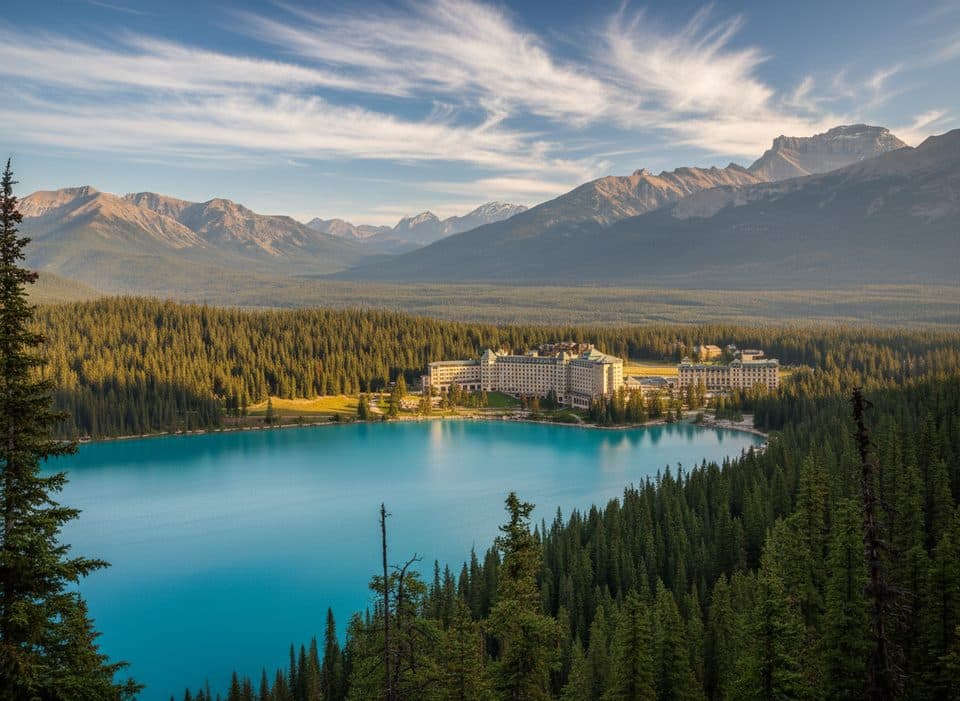
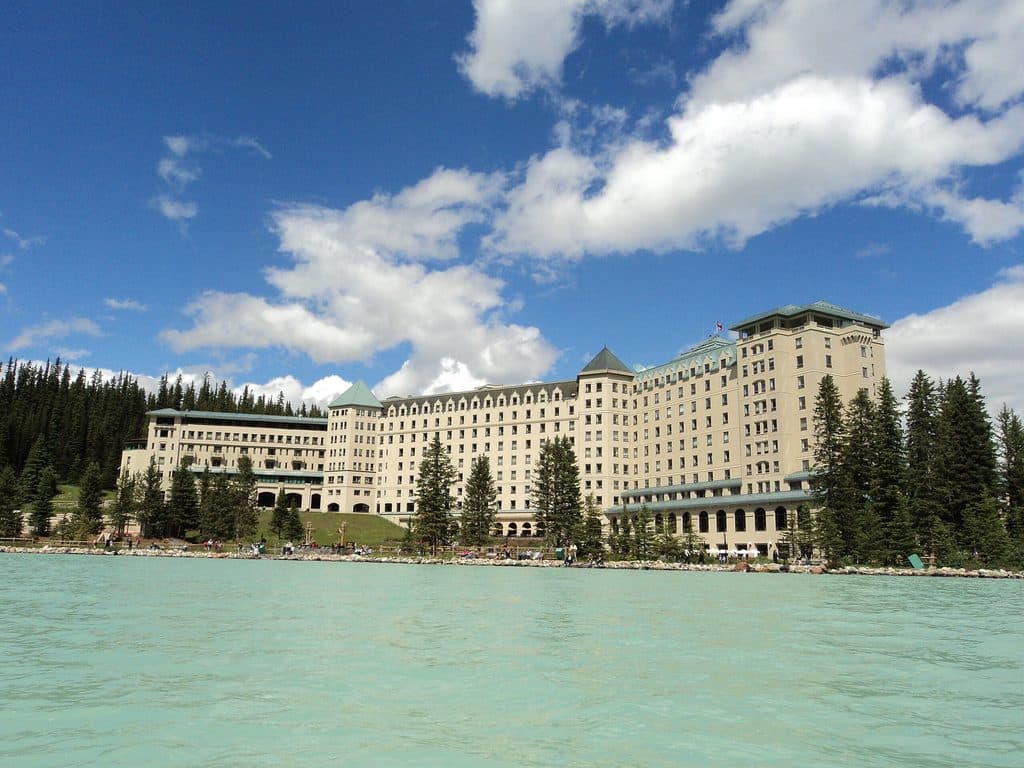
  • The Fairmont Chateau and Lake Louise Shoreline
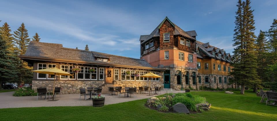
  • Deer Lodge: A Historic Lodge Near the Lake
  • Paradise Lodge: Walk-In Access to Lake Louise
  • 178 audio storiesacross Banff’s roads, triggered by GPS as you drive
  • Wildlife heatmapsfor Grizzly Bear, Brown Bear, Gray Wolf, and 13 more
  • Works offlinemaps, 177 trails, 236 places, and audio download before you lose signal
  • CarPlay readysimple controls built for the drive
★★★★★
“…Loved the commentary as you drove thru. I’m sure the app can do more than I know but the tips were very helpful. I’m gonna use it when we go to Banff next month.”
tesja22App Store review
Download Parkwolf on the App StoreGet Parkwolf on Google Play

4.7 from 8,600+ ratings

Trail guide

Hiking Sheol Pass

Route overviewThe connector is about 3.9 km (2.4 miles) one way and normally takes 1 to 2 hours.

The connector is about 3.9 km (2.4 miles) one way and normally takes 1 to 2 hours. From Saddleback Pass toward Paradise Valley, the route loses substantially more elevation than it gains—about 85 m of gain and 540 m of loss in Parks Canada’s route description. The stored line follows the complete mapped connector corridor, not the longer approaches to either pass. Expect natural mountain tread, uneven ground, and occasional muddy or rocky sections.

Scenery and feelThe route moves through subalpine forest and open meadows with views toward the surrounding…

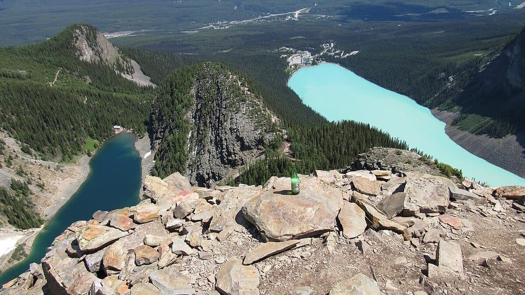
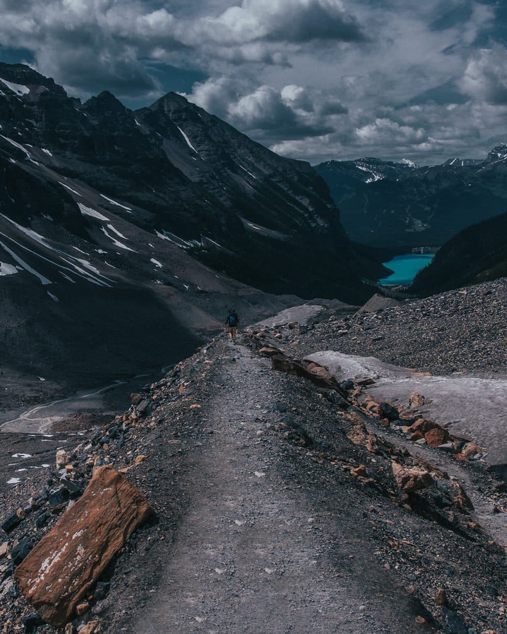
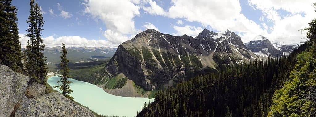
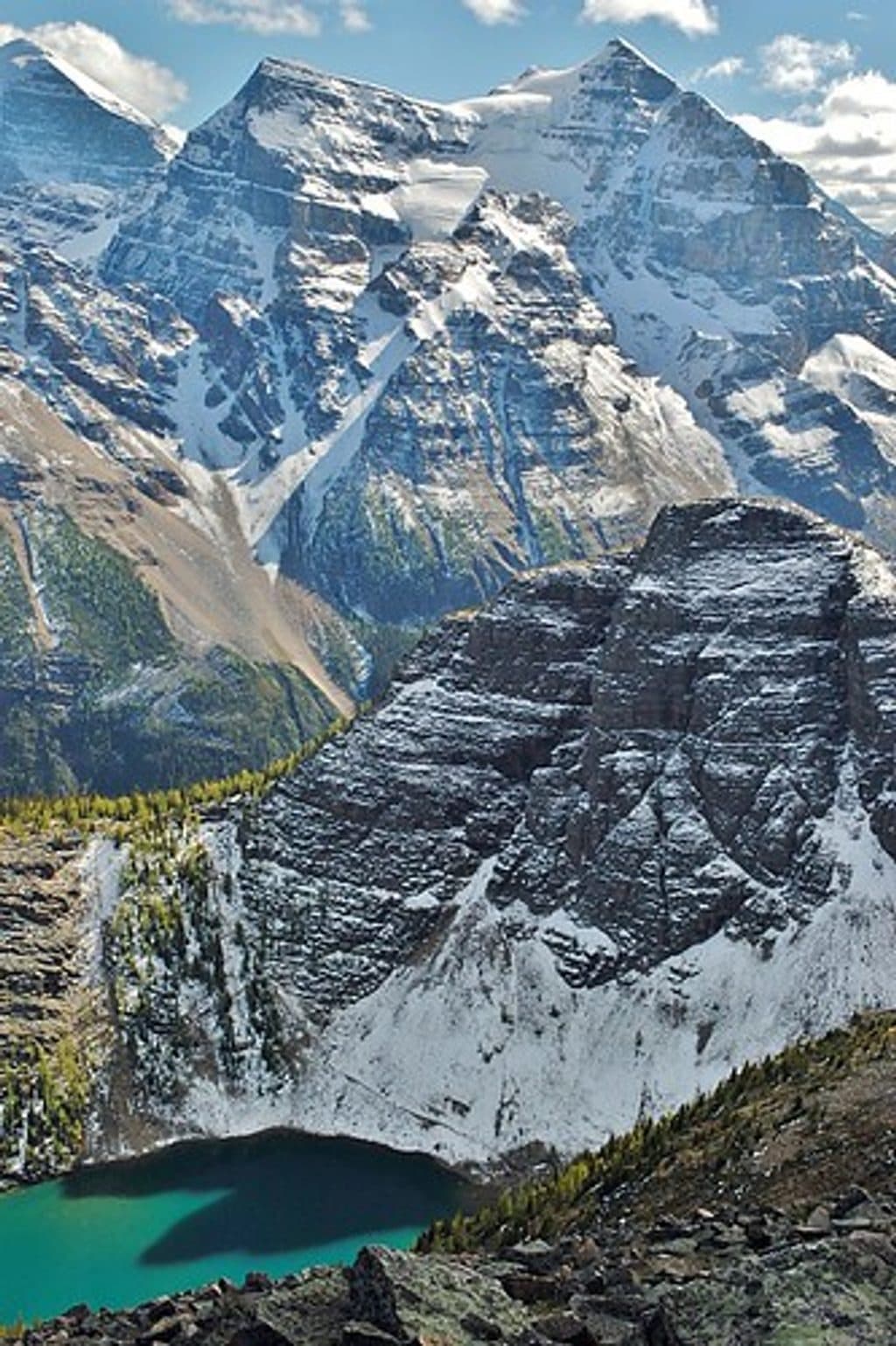
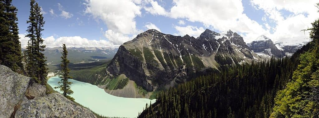
The route moves through subalpine forest and open meadows with views toward the surrounding Lake Louise peaks. It is generally quieter than the busiest approaches and can be especially attractive during wildflower season and the autumn larch display.

Logistics and cautionsThis is a point-to-point connector, not a loop: arrange a shuttle or two vehicles, and plan the…

This is a point-to-point connector, not a loop: arrange a shuttle or two vehicles, and plan the Lake Louise-side approach to Saddleback Pass and the Paradise Valley-side exit separately. Carry a map or GPS because junctions can be less obvious than on the main approaches. Check Parks Canada trail conditions, wildlife advisories, access rules, and current seasonal restrictions before setting out; mountain weather can change quickly.

Wildlife

Wildlife in Banff

All Banff wildlife maps

Sighting maps show where each species has been reported across Banff. Wildlife moves, so no sighting is guaranteed.

Keep exploring

Near Sheol Pass

See it all on the map

Trails that start nearby

Places near the trailhead

Parkwolf’s Banff ranking

Top-rated trails in Banff

All 177 trails
  1. 1Moraine Lake RockpileEasy · 0.8 km
  2. 2Larch Valley and Sentinel PassChallenging · 11.1 km
  3. 3Sentinel PassChallenging · 11.3 km
  4. 4Parker Ridge TrailEasy · 5.5 km
  5. 5Big Beehive TrailModerate · 10.5 km
  6. 6Sunshine Meadows LoopModerate · 11.9 km

Take Parkwolf to Banff.

The audio tour guide for the drive, plus offline maps, trails, and wildlife heatmaps for when the signal drops.

4.7 from 8,600+ ratings

Download Parkwolf on the App StoreGet Parkwolf on Google Play