Parking
Use the paved parking at Cave and Basin National Historic Site at the end of Cave Avenue; the route starts there. The site has accessible stalls, bike racks, washrooms, and picnic areas.
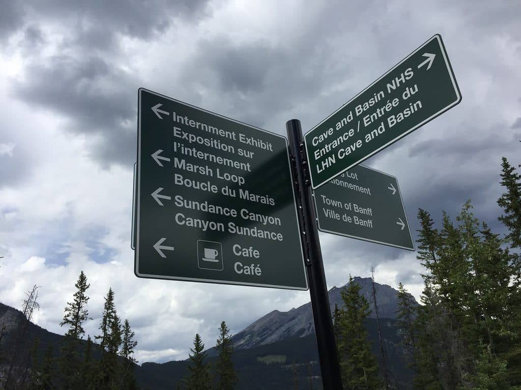
Banff National Park, AB
Paved approach to a steep, water-filled canyon loop from Cave and Basin
Overview
Map & elevation
Plan your hike

The highest, rockiest slopes around here are a summer buffet for grizzly bears.
Banff Tour Guide
Parkwolf is a GPS audio tour guide for Banff National Park. As you drive, it chimes in with what’s ahead: hidden gems, upcoming stops, history, geology, and wildlife, right through your car’s speakers.
Recorded for this trailhead
Cave and Basin: Birthplace of Canadian Parks“You're coming up on the Cave and Basin National Historic Site, the very spot where Canada's entire national park system began.”
Plays as you drive up to this trailhead in the Parkwolf Banff Tour Guide.
More stories near here in the app
“…Loved the commentary as you drove thru. I’m sure the app can do more than I know but the tips were very helpful. I’m gonna use it when we go to Banff next month.”


Trail guide
Sundance Canyon is a relaxed paved approach followed by a compact, adventurous canyon loop. From Cave and Basin National Historic Site, the route opens to mountain views across the Bow River before climbing gently through the forest to the water-filled canyon.
Start at the Cave and Basin trailhead and follow the paved Sundance Trail 3.7 km one way. The approach is easy to walk or bike and ends at a bike rack where the hiking-only loop begins. Take the loop clockwise: it is steep and narrow in places, with natural rock steps and water in the canyon. The loop returns to the same junction, so retrace the paved approach to finish.
The complete visitor route is 9.5 km (5.9 miles) round trip: 3.7 km each way on the approach plus a 2.1 km canyon loop. Elevation gain is about 190 m (623 ft). Allow roughly 3 hours round trip. Most of the distance is easy paved trail; the canyon loop is moderately difficult because of its steep, narrow tread and natural rock steps.
Pedal-assist e-bikes are permitted on the paved section, but the canyon loop is hiking-only. Use the paved parking at Cave and Basin National Historic Site at the end of Cave Avenue; the site has accessible stalls, bike racks, washrooms, and picnic areas. The paved approach is shared with bikes and horses, so yield appropriately. The canyon can be wet, slippery, or icy—wear sturdy footwear and use traction when needed. You’re in bear country: carry bear spray and make noise.
Wildlife
 122 sightingsGrizzly BearMost seen around 6 AMSighting map
 150 sightingsBrown BearMost seen around 6 PMSighting map
 44 sightingsGray WolfMost seen around 6 AMSighting map
 12 sightingsRiver OtterMost seen around 8 PMSighting map
 67 sightingsMooseMost seen around 8 PMSighting map
 465 sightingsBlack BearMost seen around 9 PMSighting map
Sighting maps show where each species has been reported across Banff. Wildlife moves, so no sighting is guaranteed.
Keep exploring
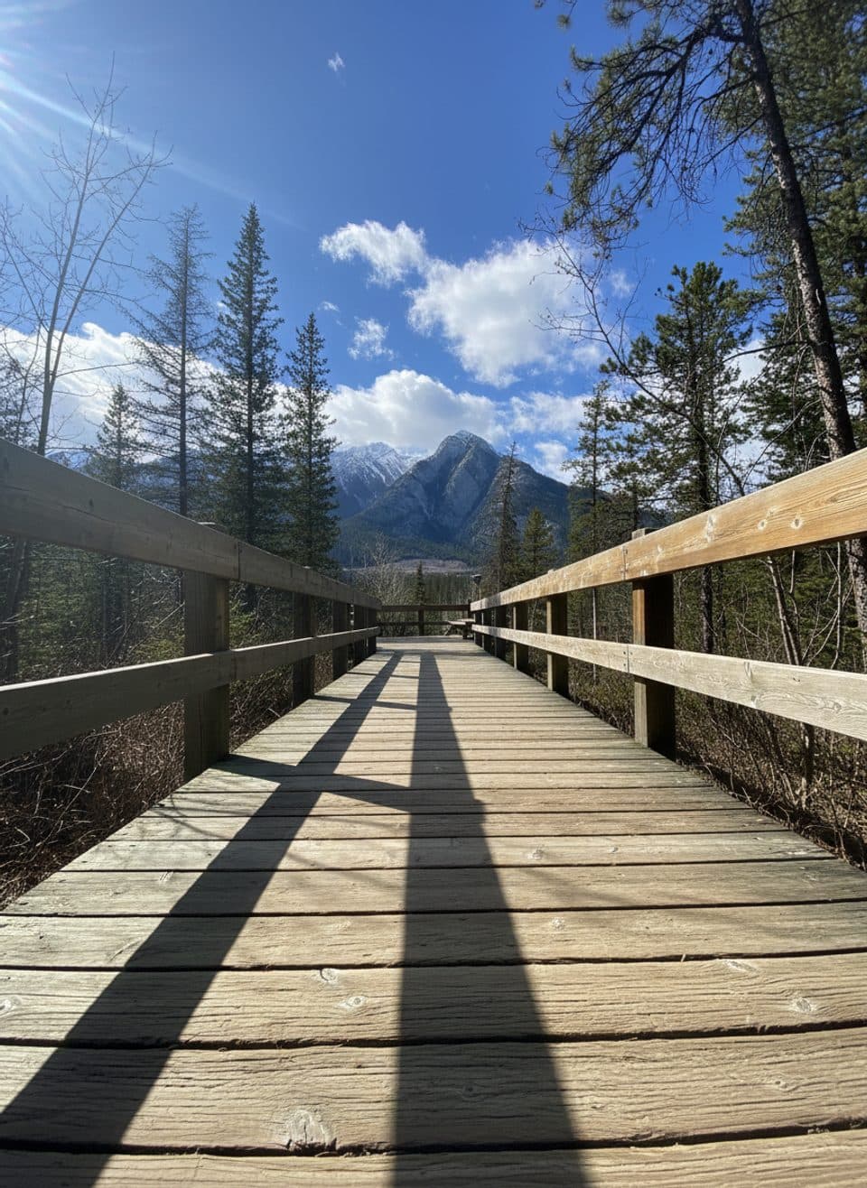 EasyCave and Basin Boardwalks1 km · 45 min · At the trailheadEasy, steamy stroll through hot springs, wetlands, and history.
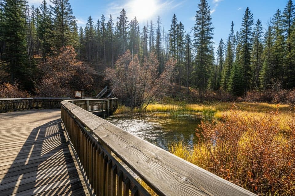 EasyDiscovery Boardwalk0.6 km · 24 min · At the trailheadSteam, snails, and the birthplace of Canada’s parks
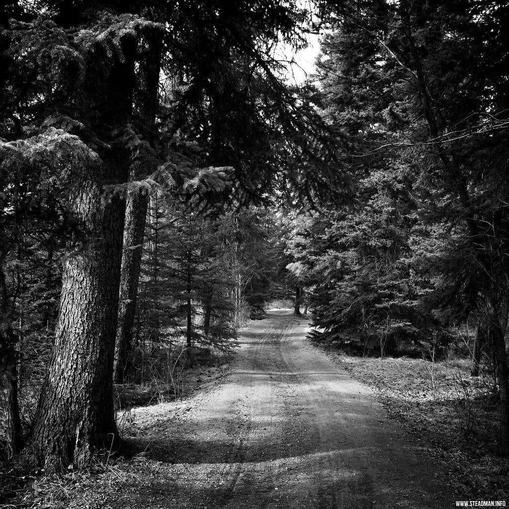 EasyMarsh Loop2.7 km · 1 hr · 0.8 km awayEasy wetland loop with boardwalks and birding at Cave and Basin
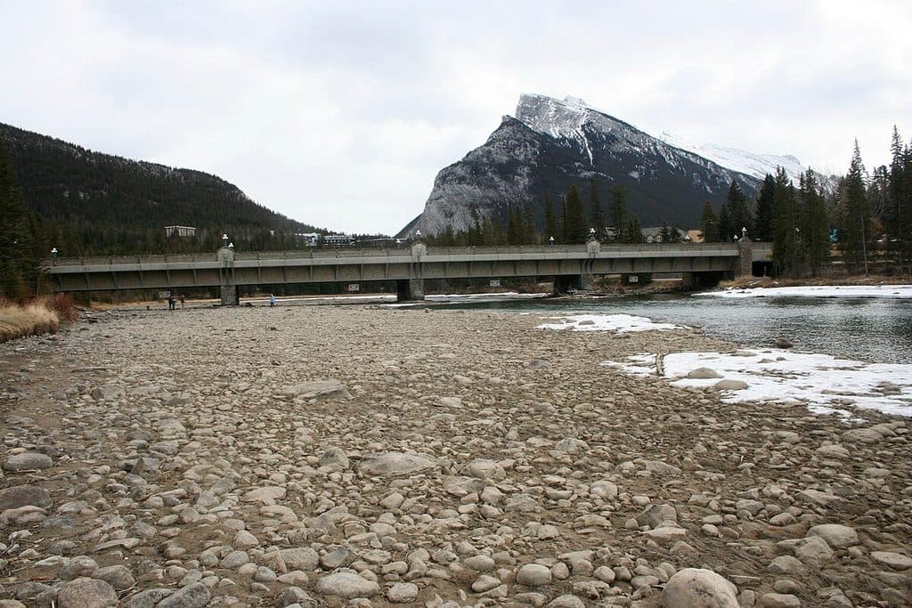 EasyBow River Trail (Banff)2.7 km · 1 hr · 1.4 km awayEasy out-and-back from Central Park to Bow Falls
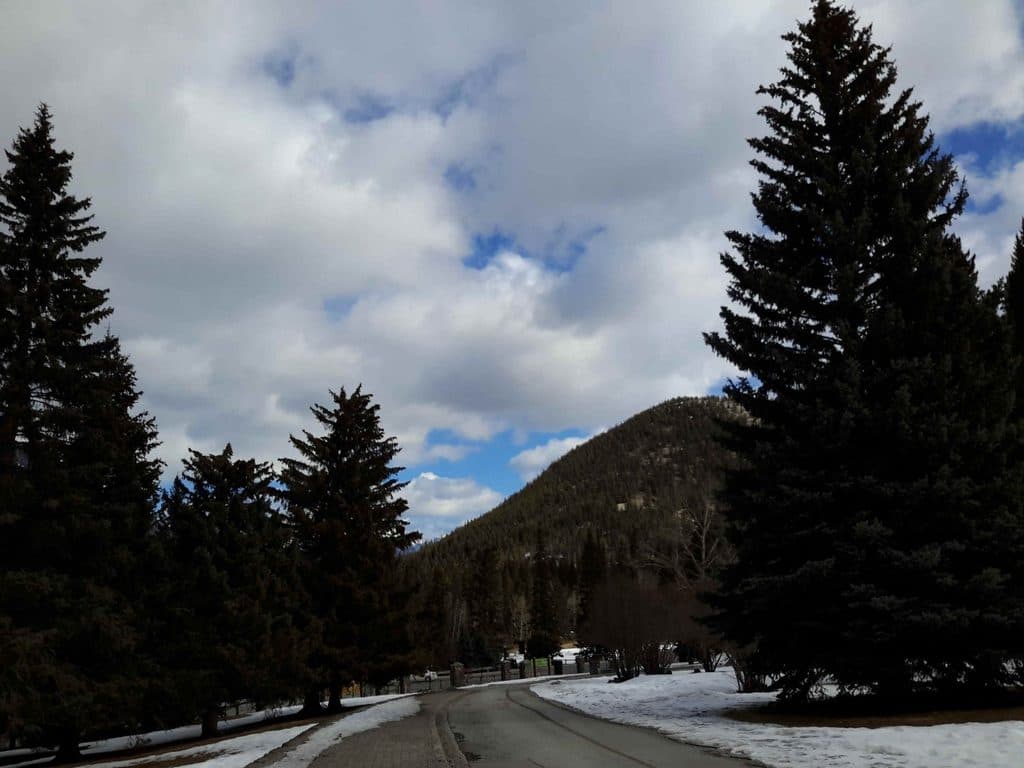 EasyBow Falls Trail2.4 km · 48 min · 1.7 km awayEasy Bow River walk from the Banff Pedestrian Bridge to Bow Falls
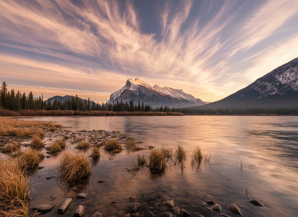 EasyVermilion Lakes Trail8.5 km · 2.5 hr · 1.8 km awayA flat lakeside drive with Mount Rundle reflections and easy wildlife watching
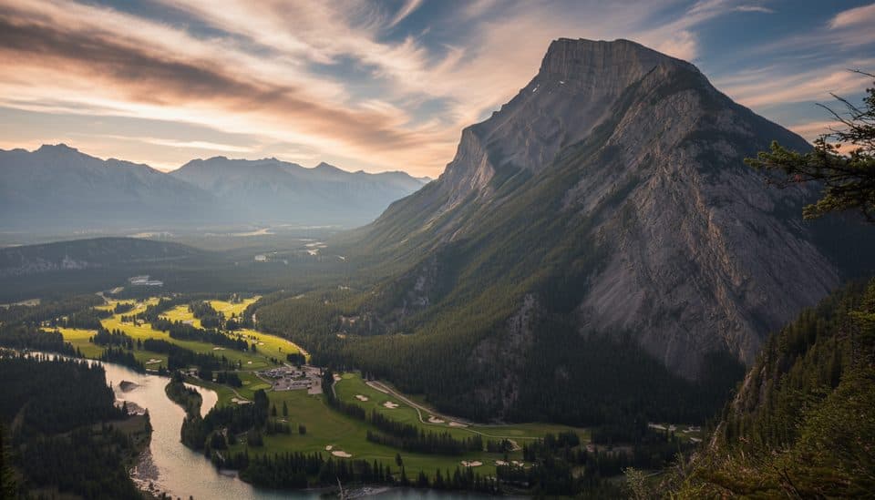 EasyTunnel Mountain Summit Trail4.5 km · 2 hr · 2.2 km awayBanff’s quickest summit for big town views with minimal effort.
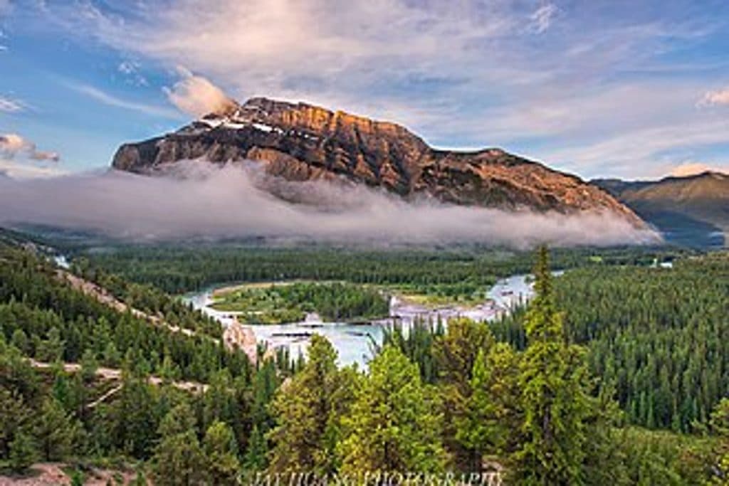 EasyHoodoos Trail8.9 km · 3 hr · 2.2 km awayModerate Bow River trail linking Surprise Corner and the Banff Hoodoos viewpoints.
 Sight · At the trailheadCave & Basin National Historic SiteBirthplace of Canada’s parks with a steaming cave and rich history
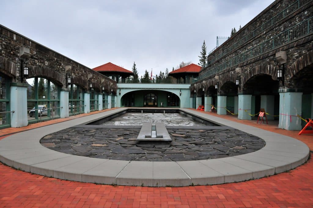 Sight · At the trailheadBasin PoolSteaming historic hot spring that launched Canada’s park system
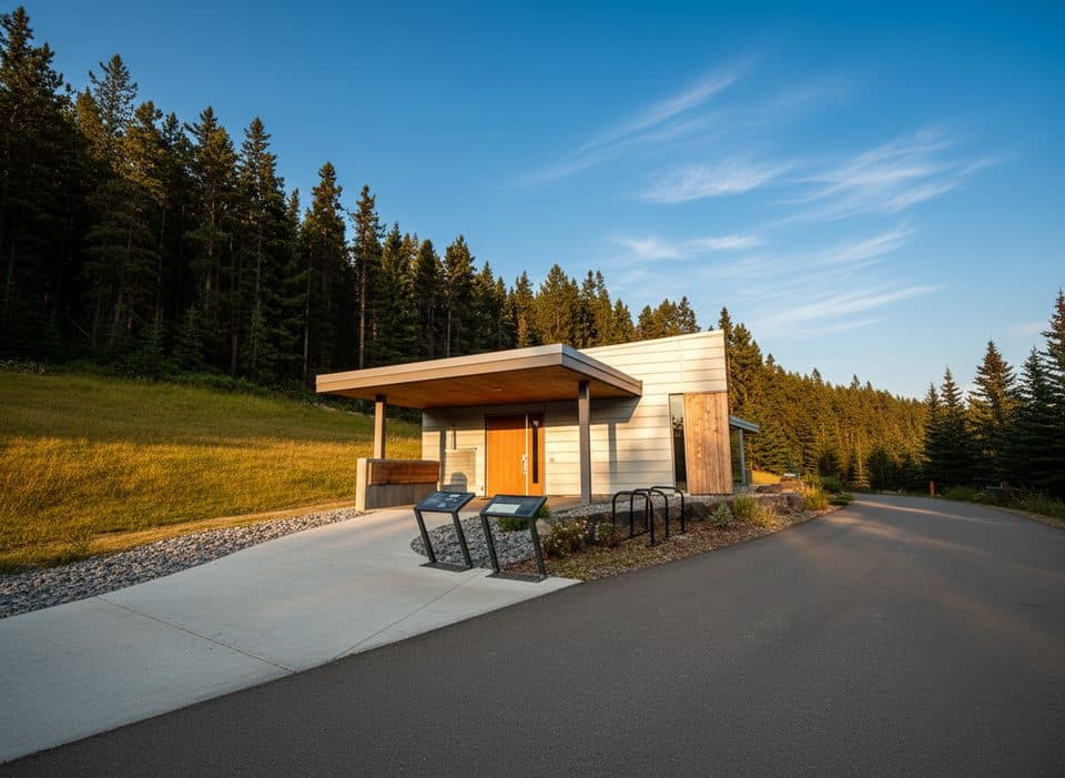 Sight · 0.1 km awayFirst World War Internment ExhibitSobering, free WWI internment story behind Cave and Basin
 Sight · 0.9 km awayWarner StablesBase for horseback rides and winter sleighs by the Bow River
 Picnic area · 1.1 km awayRecreation GroundsSports hub with picnic shelters, fire pits, and free parking
 Sight · 1.3 km awayNancy Pauw BridgeElegant timber span with Bow River and mountain views
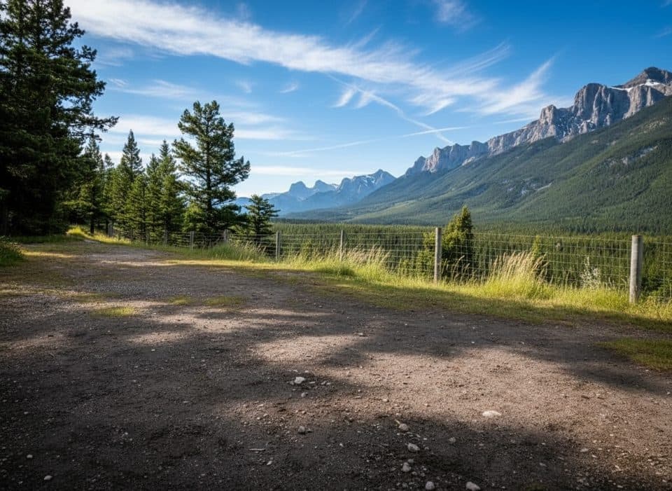 Picnic area · 1.3 km awayValleyviewScenic eastbound picnic stop with big Bow Valley views
 Sight · 1.3 km awayBuffalo Nations Luxton MuseumImmersive Plains First Nations museum in a log-fort by the Bow
Parkwolf’s Banff ranking

The audio tour guide for the drive, plus offline maps, trails, and wildlife heatmaps for when the signal drops.





