Parking
On-site lot at the Cave and Basin National Historic Site at the end of Cave Avenue; also served by Roam Transit Route 4 in summer.
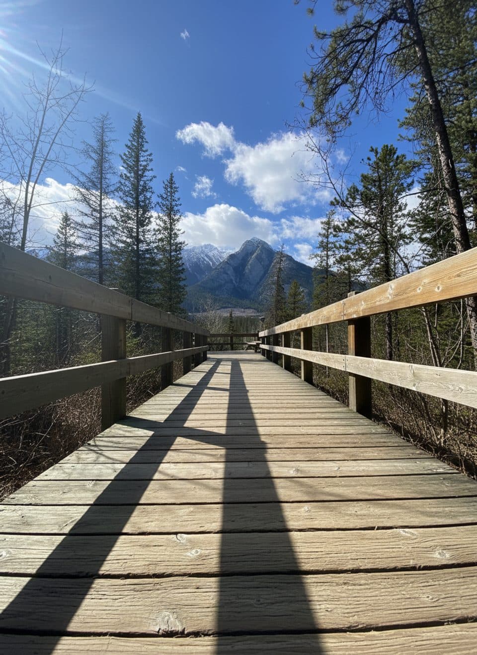
Banff National Park, AB
Easy, steamy stroll through hot springs, wetlands, and history.
Overview
These short boardwalks circle a rare combo of thermal springs, marshland, and heritage buildings at the birthplace of Canada’s national parks. Expect turquoise mineral pools, gentle steam, and a light sulphur smell, with interpretive signs that tie the geology to the site’s Indigenous significance and the 1883 discovery that kicked off Canada’s park system. Viewing decks open to Bow Valley vistas, with Sanson and Sulphur Mountains framing the scene.
 Parkwolf’s verdictWhy go
Map & elevation
Plan your hike

The highest, rockiest slopes around here are a summer buffet for grizzly bears.
Banff Tour Guide
Parkwolf is a GPS audio tour guide for Banff National Park. As you drive, it chimes in with what’s ahead: hidden gems, upcoming stops, history, geology, and wildlife, right through your car’s speakers.
Recorded for this trailhead
Cave and Basin: Birthplace of Canadian Parks“You're coming up on the Cave and Basin National Historic Site, the very spot where Canada's entire national park system began.”
Plays as you drive up to this trailhead in the Parkwolf Banff Tour Guide.
More stories near here in the app
“…Loved the commentary as you drove thru. I’m sure the app can do more than I know but the tips were very helpful. I’m gonna use it when we go to Banff next month.”


Trail guide
It’s an easy, mostly flat wander on wide wooden boardwalks and paved paths. The outdoor route connects the Upper and Lower Boardwalk experiences around the springs and marsh. Plan on about 0.6 miles (0.9 km) total for the out-and-back boardwalk experience, usually 30–60 minutes at a leisurely, sign-reading pace. Elevation change is minimal, though a few short spurs climb slightly to overlooks.
The main loop is gently graded and suitable for all ages; much of it is wheelchair and stroller friendly, though some upper spurs may include stairs or steeper sections. The outdoor boardwalks are free to explore; admission is required to enter the historic building and cave exhibits. A valid Parks Canada entry pass is required for visiting the area. Pets are not permitted on the boardwalks (service animals excepted).
Look for steaming vents and warm mineral pools—the distinctive smell is part of the experience. The marsh boardwalk stretches are great for birdlife, and this is also home to the Banff Springs Snail, a tiny species found nowhere else. Please stay on the boardwalks to protect this fragile habitat.
If you want more mileage, connect from the site to longer, separate routes like the Marsh Loop and the Sundance Trail/Sundance Canyon. Roam Transit (Route 4) typically services the site in summer, and there’s on-site parking. Bring a light layer; the area can feel cool and damp even on warm days.
Wildlife
 122 sightingsGrizzly BearMost seen around 6 AMSighting map
 150 sightingsBrown BearMost seen around 6 PMSighting map
 44 sightingsGray WolfMost seen around 6 AMSighting map
 12 sightingsRiver OtterMost seen around 8 PMSighting map
 67 sightingsMooseMost seen around 8 PMSighting map
 465 sightingsBlack BearMost seen around 9 PMSighting map
Sighting maps show where each species has been reported across Banff. Wildlife moves, so no sighting is guaranteed.
Keep exploring
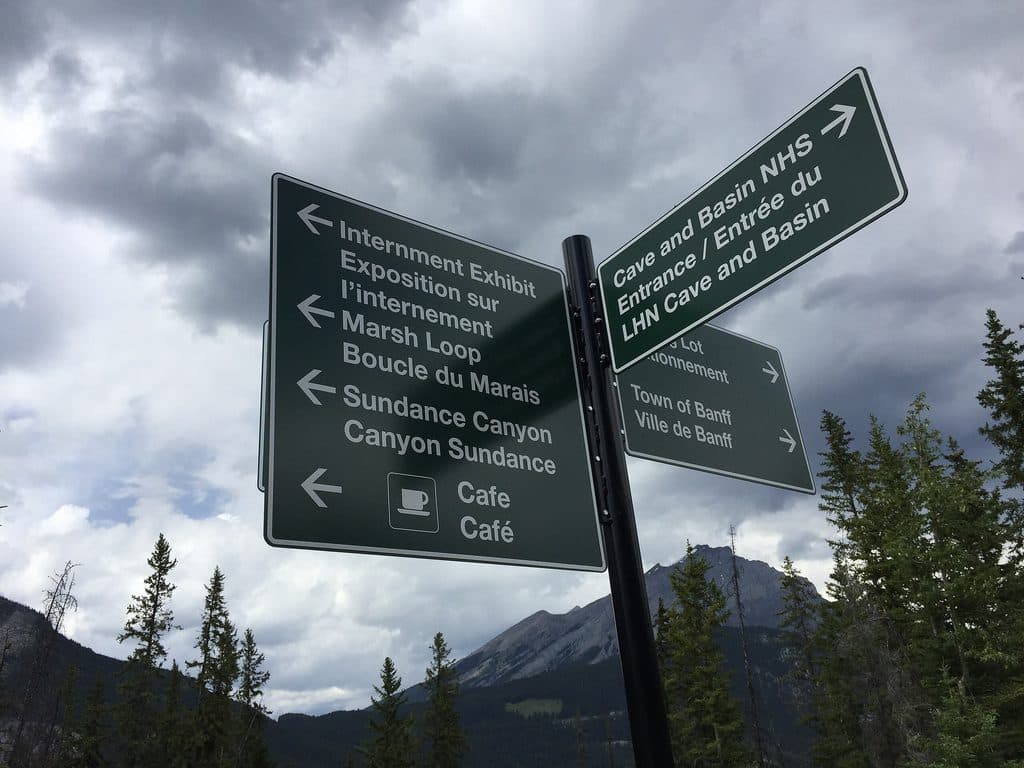 ModerateSundance Canyon Trail9.5 km · 3 hr · At the trailheadPaved approach to a steep, water-filled canyon loop from Cave and Basin
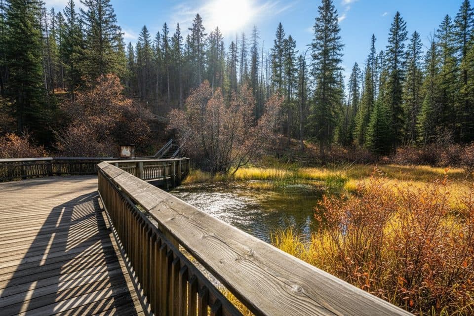 EasyDiscovery Boardwalk0.6 km · 24 min · At the trailheadSteam, snails, and the birthplace of Canada’s parks
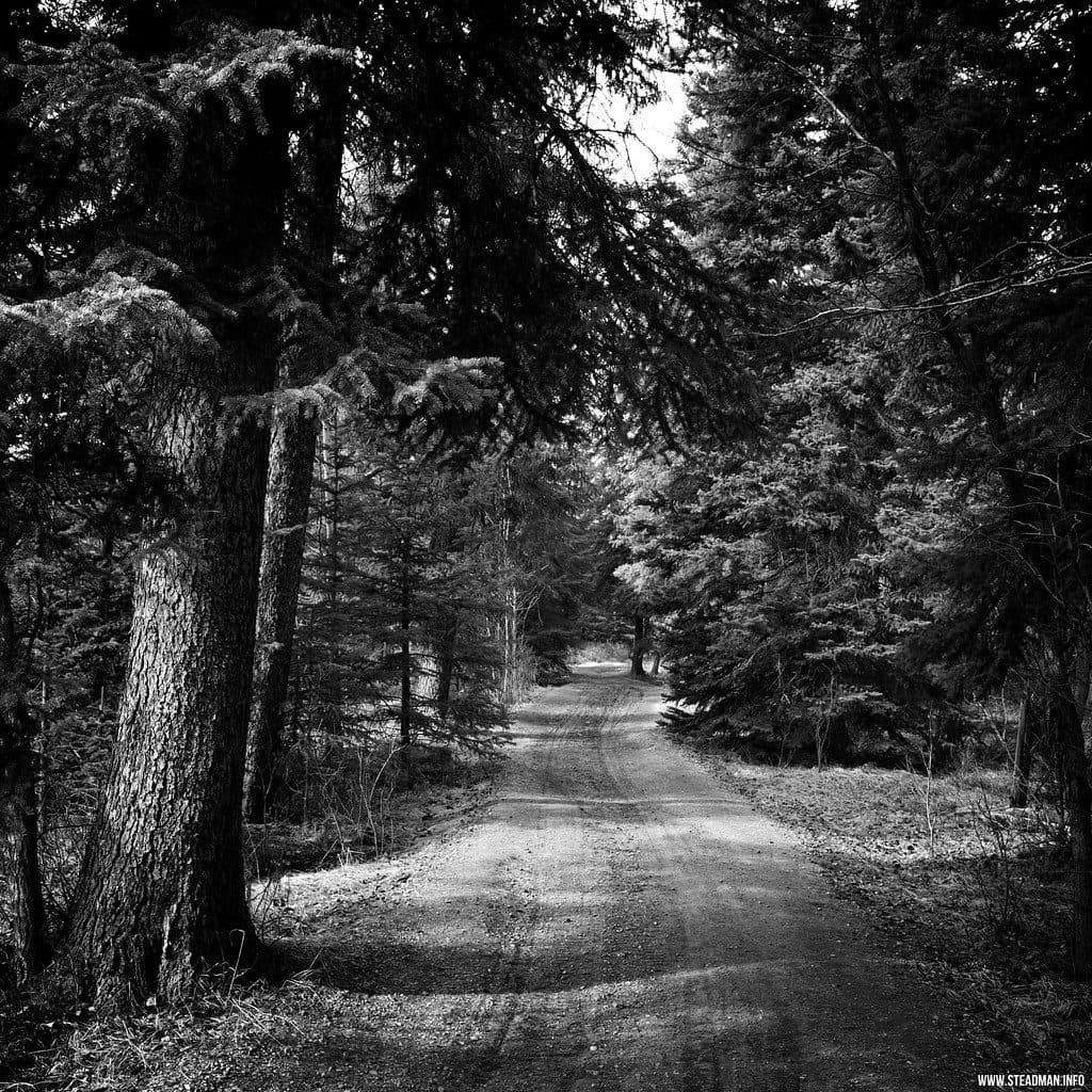 EasyMarsh Loop2.7 km · 1 hr · 0.8 km awayEasy wetland loop with boardwalks and birding at Cave and Basin
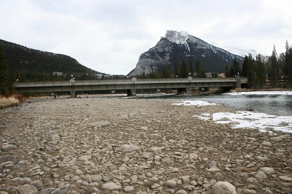 EasyBow River Trail (Banff)2.7 km · 1 hr · 1.4 km awayEasy out-and-back from Central Park to Bow Falls
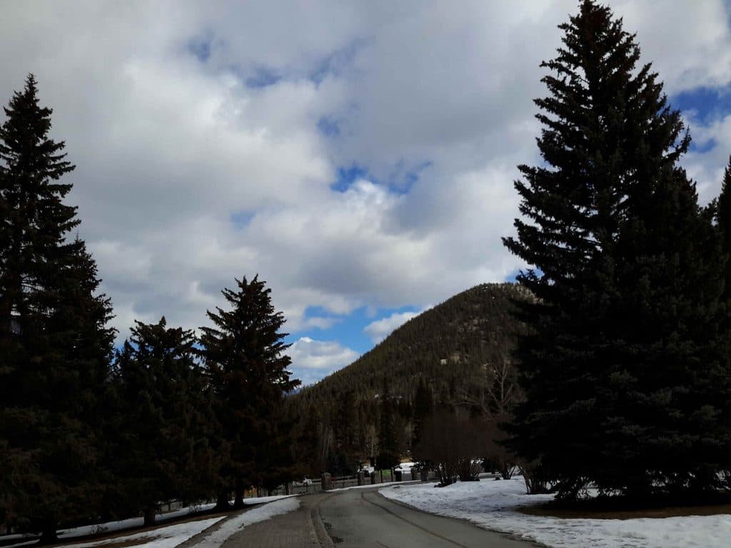 EasyBow Falls Trail2.4 km · 48 min · 1.7 km awayEasy Bow River walk from the Banff Pedestrian Bridge to Bow Falls
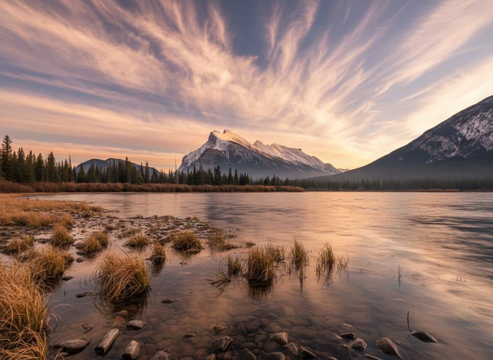 EasyVermilion Lakes Trail8.5 km · 2.5 hr · 1.8 km awayA flat lakeside drive with Mount Rundle reflections and easy wildlife watching
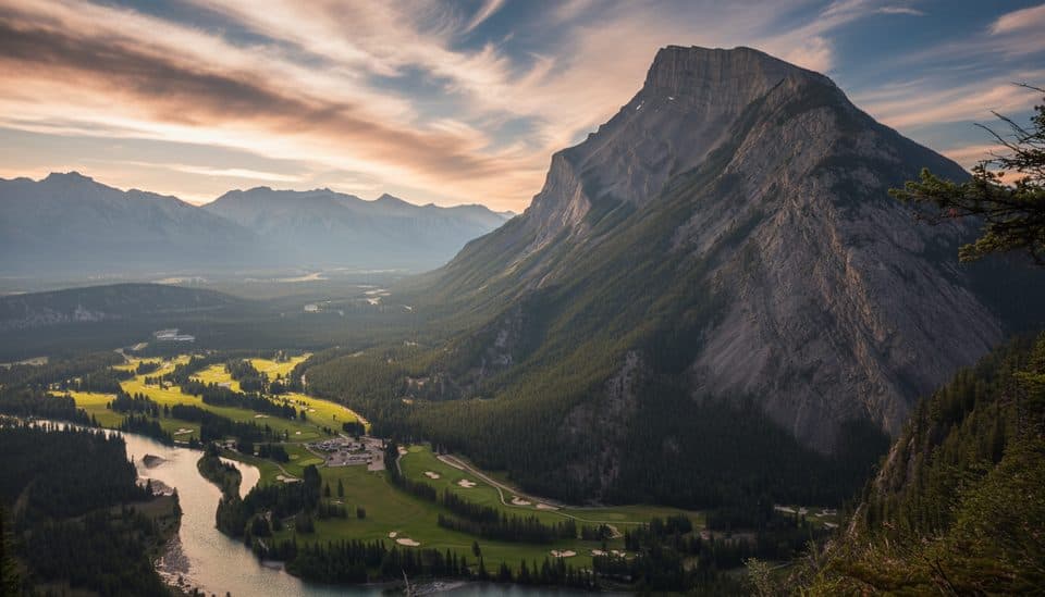 EasyTunnel Mountain Summit Trail4.5 km · 2 hr · 2.2 km awayBanff’s quickest summit for big town views with minimal effort.
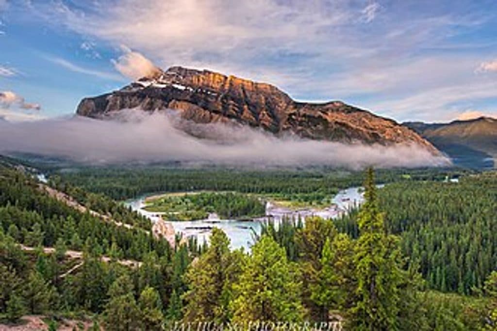 EasyHoodoos Trail8.9 km · 3 hr · 2.2 km awayModerate Bow River trail linking Surprise Corner and the Banff Hoodoos viewpoints.
 Sight · At the trailheadCave & Basin National Historic SiteBirthplace of Canada’s parks with a steaming cave and rich history
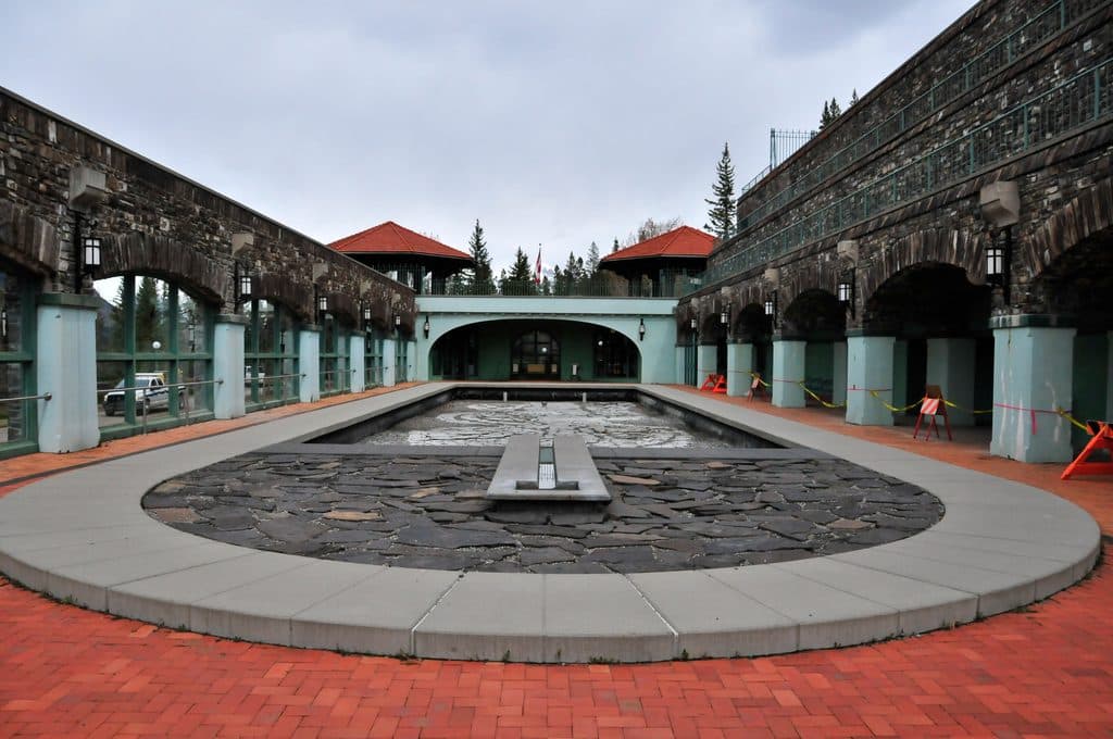 Sight · At the trailheadBasin PoolSteaming historic hot spring that launched Canada’s park system
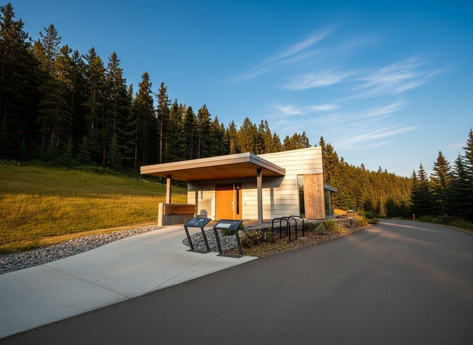 Sight · 0.1 km awayFirst World War Internment ExhibitSobering, free WWI internment story behind Cave and Basin
 Sight · 0.9 km awayWarner StablesBase for horseback rides and winter sleighs by the Bow River
 Picnic area · 1.1 km awayRecreation GroundsSports hub with picnic shelters, fire pits, and free parking
 Sight · 1.3 km awayNancy Pauw BridgeElegant timber span with Bow River and mountain views
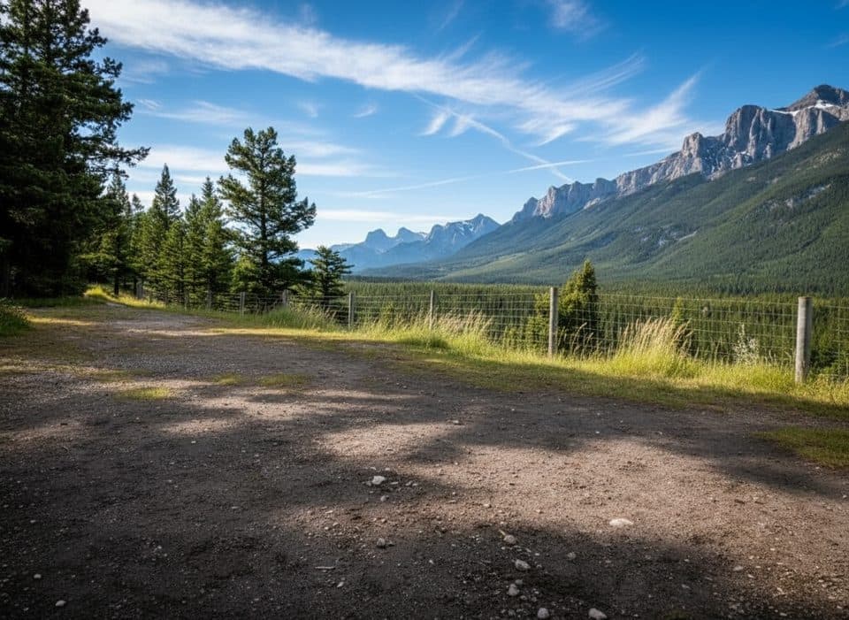 Picnic area · 1.3 km awayValleyviewScenic eastbound picnic stop with big Bow Valley views
 Sight · 1.3 km awayBuffalo Nations Luxton MuseumImmersive Plains First Nations museum in a log-fort by the Bow
Parkwolf’s Banff ranking
The audio tour guide for the drive, plus offline maps, trails, and wildlife heatmaps for when the signal drops.





