
Place · 0.7 mi away
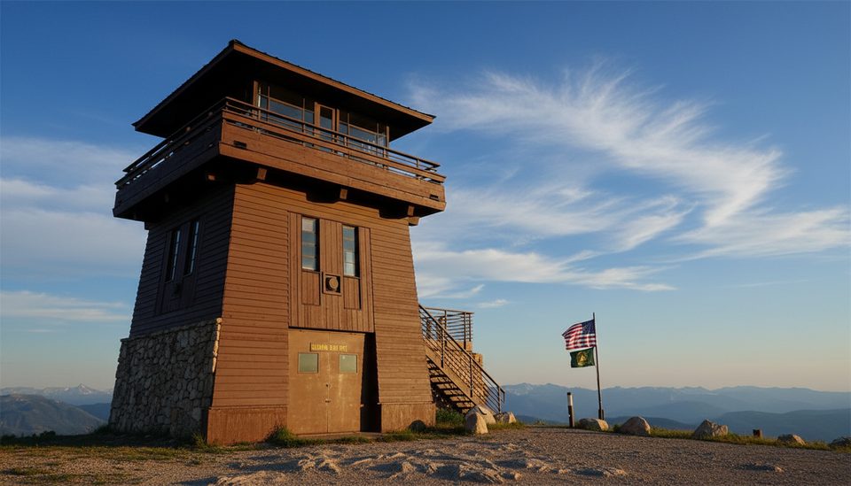
Perched near 10,000 feet, Clay Butte Fire Lookout delivers big‑sky views across the Beartooth Plateau and Absaroka Range. When staffed, the lower level doubles as a tiny museum with interpretive displays and original Osborne Firefinders that show how lookouts once spotted smokes. As of September 23, 2025, the U.S. Forest Service lists the site closed for the 2025 season, so expect no services and possible gate closures.
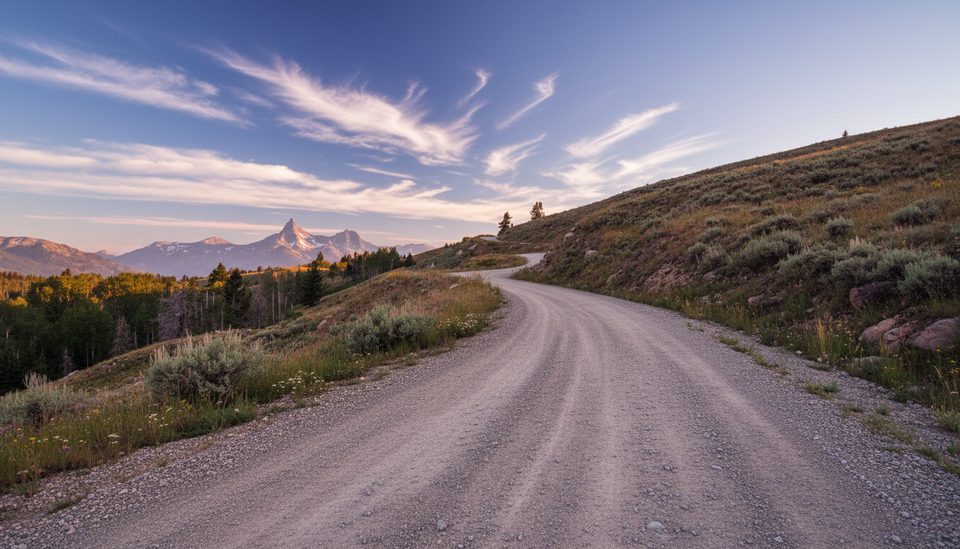
Turn off US‑212 onto Forest Road 142 and climb roughly 2.6–3 miles on gravel to the summit. The spur is narrow with a few one‑lane stretches, potholes, and sharp turns—slow and steady wins here, especially after rain. The access window is typically late May to mid‑October, but mountain weather rules the schedule. The final quarter‑mile to the tower is often gated outside 8 am–5 pm when the site is operating.
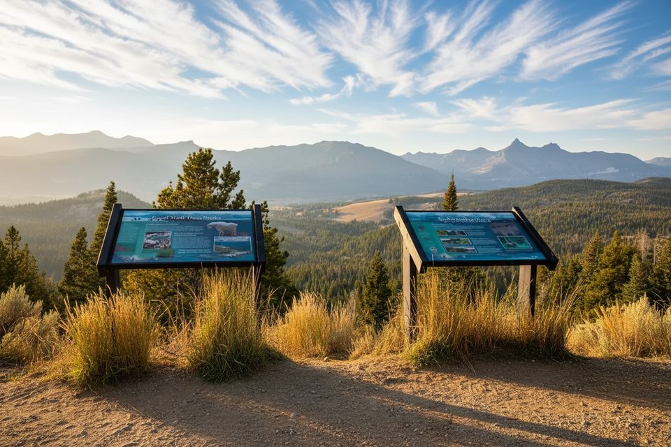
At the top you’ll find a small parking area, a viewing deck, and interpretive signs. There’s a vault toilet (no potable water) and a couple of picnic spots when the site is open. Winds can be fierce and temperatures swing fast—pack layers even in midsummer.
Started by Civilian Conservation Corps crews in the early 1940s and finished by the Shoshone National Forest, the lookout worked active fire detection into the 1960s. A remodel in the early 1960s added a ground‑level observation room. It’s now a listed property on the National Register of Historic Places and is occasionally staffed by volunteers who share the story of fire detection and notable blazes like the 1988 Clover‑Mist fire.
This high‑alpine shoulder is classic habitat for mountain goats, marmots, and pikas, with moose roaming nearby drainages. Grizzly bears use the meadows and timber below—carry bear spray and give wildlife plenty of space. Post‑snowmelt, the slopes burst with wildflowers such as mountain bluebells and green gentian.
You can still walk the road: it’s about 5.2 miles round‑trip with roughly 800 feet of gain. Give yourself 2–3 hours, and remember you’re at altitude—pace accordingly.
Place · 0.7 mi away
Place · 1 mi away
Place · 1.1 mi away
Place · 1.2 mi away
Moderate · 0.1 mi away
Moderate · 1.9 mi away
Moderate · 1.9 mi away
Moderate · 1.9 mi away

Parkwolf Tour Guide
