Parking
From Red Lodge, follow Wyoming Highway 212 about 28 miles to the Littlerock Creek Trailhead / Beartooth Loop pullout near Gardner Headwall. Hauser and Dollar Lake are access points for different route variants.
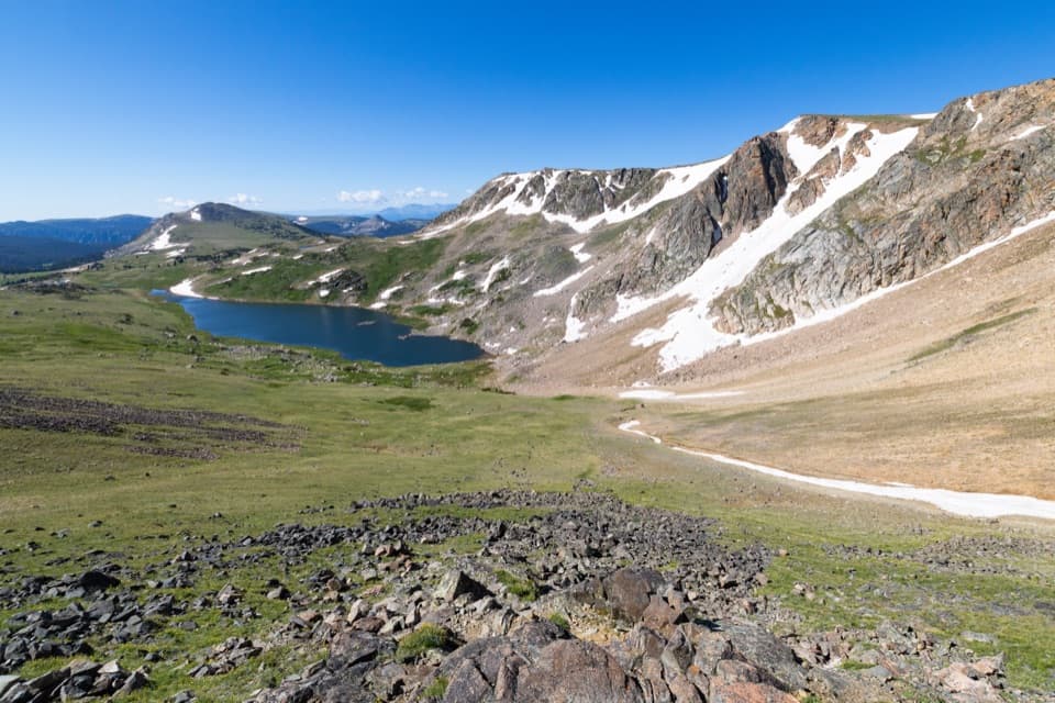
#4 of 82 trails in Beartooth Highway
Beartooth Highway, MT · WY
A high-country loop joining Gardner Lake and the steep Beartooth headwall.
Overview
Map & elevation
Plan your hike

The highest, rockiest slopes around here are a summer buffet for grizzly bears.
Beartooth Highway Tour Guide
Parkwolf is a GPS audio tour guide for Beartooth Highway. As you drive, it chimes in with what’s ahead: hidden gems, upcoming stops, history, geology, and wildlife, right through your car’s speakers.
See the Beartooth Highway audio tourRecorded for this trailhead
Gardner Lake Overlook“You're nearing Gardner Lake Overlook, where you can look down into the lake's rocky mountain bowl without leaving the roadside. I'd stop for the view even if you don't want to hike.”
Plays as you drive up to this trailhead in the Parkwolf Beartooth Highway Tour Guide.
More stories near here in the app
“Fantastic app with many points of information… It’s great to just turn on while you’re driving and it gives you an audio tour of the national Park. We love it!!!!”


Trail guide
From a roadside pullout near Gardner Headwall on Wyoming Highway 212, this mapped 10.9-mile lollipop route drops to Gardner Lake, follows Little Rock Creek toward the southern junction, then turns through the Dollar Lake and Stockade Lake trail segments and the Hauser Lake connector before returning to the same pullout. It includes a 7.9-mile circuit plus a shared 1.5-mile approach each way. Plan on five to seven hours; 5.5 hours is a reasonable target if you keep stops short. This is the Gardner-start line saved here. Other access points and extensions make the trail network's mileage vary, so the shorter general totals and longer Hauser/Tibbs Butte itineraries describe different routes. The payoff is a full day in the alpine basins; the price is a hard climb back to the road.
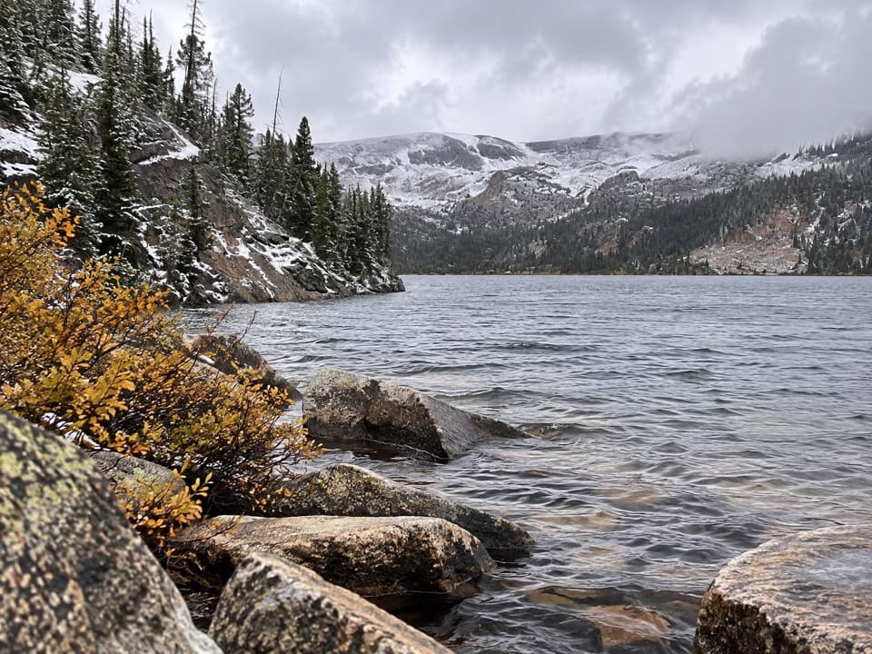
You begin near 10,500 feet and lose elevation quickly on the descent to Gardner Lake, about three-quarters of a mile down. The lake sits beneath a steep rocky cirque, with the Gardner Headwall rising above it. The outlet is a stream crossing, and the trail briefly leaves and rejoins Little Rock Creek before the circuit settles into rolling high-country terrain. The first downhill is not a free warm-up: save enough energy for the return climb to the highway, which feels harder at this altitude.
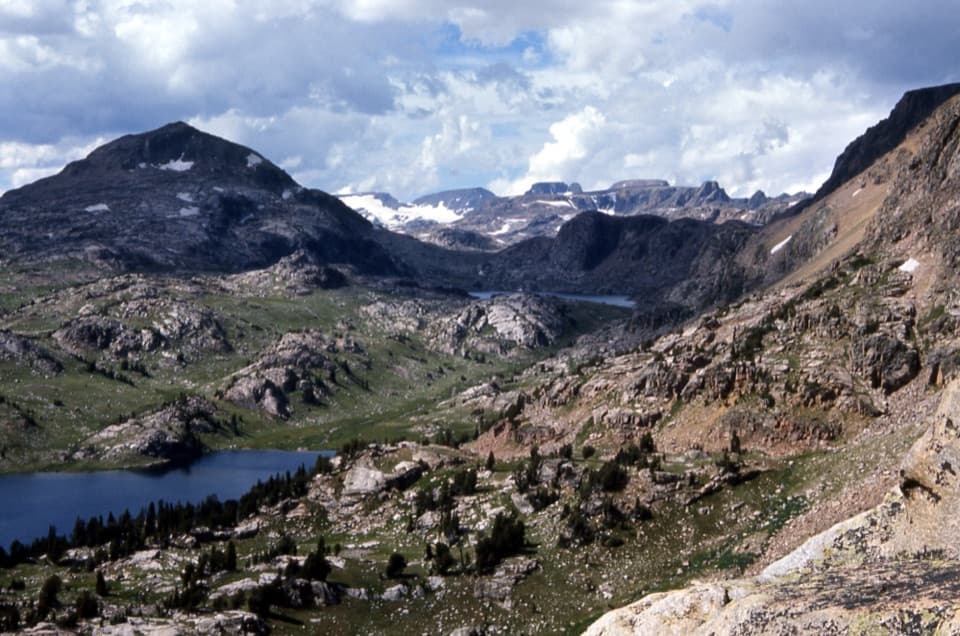
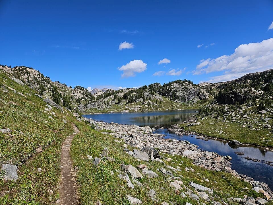
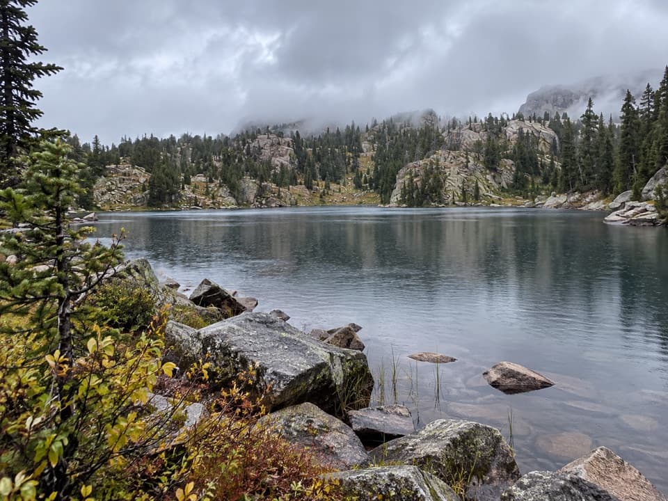
The loop links open meadows, creek corridors and several lake basins rather than climbing steadily to one summit. The landscape changes from the rocky headwall and Gardner Lake to broad alpine slopes and views along Little Rock Creek toward the peaks above Beartooth Pass. A high saddle between the lake basins gives the route its most expansive look across the Beartooth and Absaroka ranges. At Stockade Lake, stay on the mapped main route; a faint western-shore line is an alternate with extra short climbs and drops, not part of this stored circuit.
Beartooth Loop was designated a National Recreation Trail in 1979 and crosses alpine and subalpine country. The network has several highway access points, so hikers can make a shuttle, a shorter out-and-back, or a longer lollipop route. This record uses the full Gardner-start circuit, including the shared approach to and from the loop; it does not include the separate longer Hauser and Tibbs Butte extension. If you see a different distance on a map, check the start and turnaround before comparing it with this 10.9-mile line.
The 8,900-to-10,500-foot elevation range, 10.9-mile distance and steep return make this a hard day hike, not a casual lake walk. Tread quality changes, some junctions are faint, and trail signs have been reported missing or hard to follow, especially around the Dollar Lake branch. Carry an offline map and GPS or compass, and check the route at junctions rather than following the widest-looking track. Stream crossings occur along the route. This is grizzly country; carry bear spray and know how to use it. Marmots, mule deer and raptors are among the wildlife reported in the area, but sightings are never guaranteed.
Wildlife
 42 sightingsGrizzly BearMost seen around 7 AMSighting map
 22 sightingsGray WolfMost seen around 6 AMSighting map
 49 sightingsBisonMost seen around 6 AMSighting map
 122 sightingsMooseMost seen around 6 AMSighting map
 260 sightingsMountain GoatMost seen around 7 AMSighting map
 16 sightingsBighorn SheepMost seen around 7 PMSighting map
Sighting maps show where each species has been reported across Beartooth Highway. Wildlife moves, so no sighting is guaranteed.
Keep exploring
ModerateGardner Lake Trail1.6 mi · 1.3 hr · At the trailheadA short lake walk with a steep climb back out.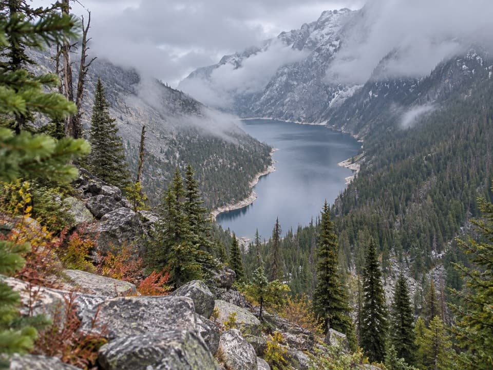 ChallengingDeep Lake Trail15 mi · 10 hr · 1.4 mi awayA hard 15-mile descent and climb to a cliff-ringed alpine lake.
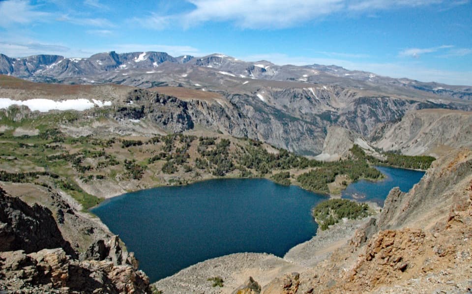 ModerateTwin Lakes Trail1.7 mi · 1.5 hr · 2.5 mi awayA high-country descent to Twin Lakes, then a steep climb back.
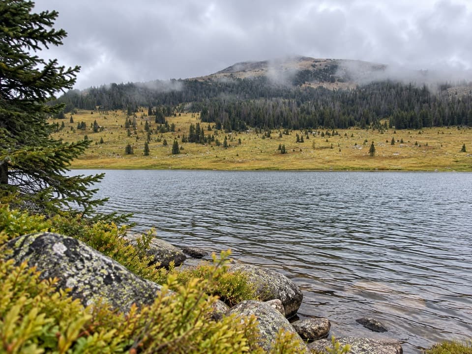 ModerateHauser, Stockade and Losekamp Lakes Trail6.7 mi · 3.5 hr · 2.9 mi awayThree high-country lakes make the extra walking count.
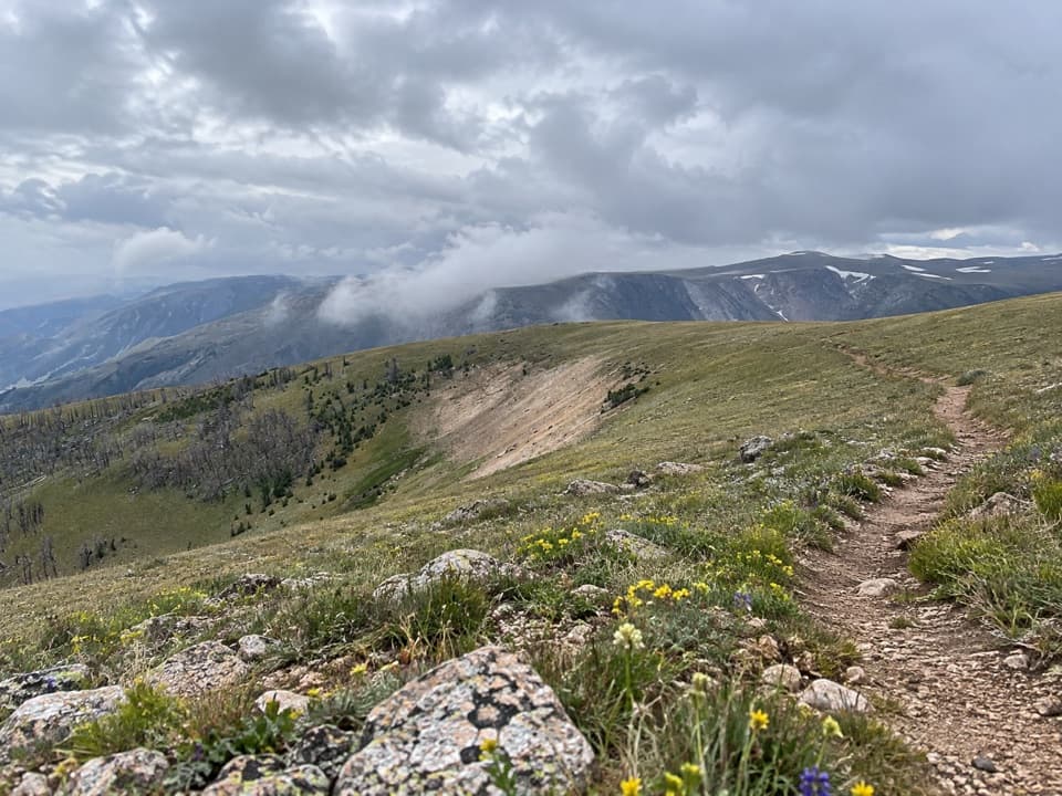 ChallengingLine Creek Plateau Trail7.9 mi · 5 hr · 3.3 mi awayA long, exposed crossing over open alpine tundra.
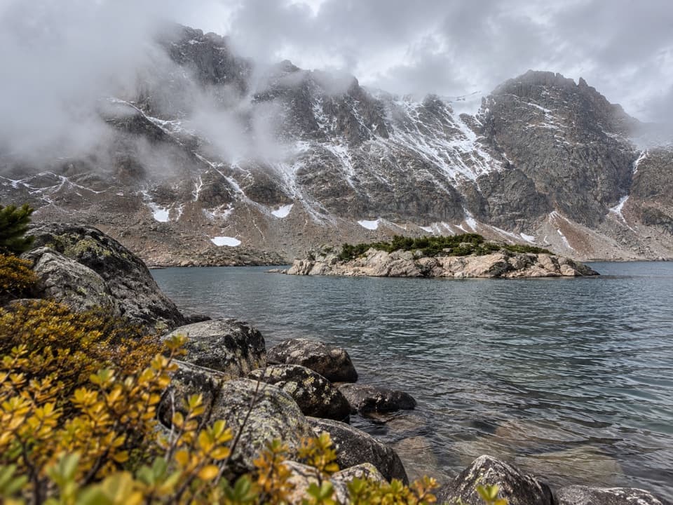 ChallengingGlacier Lake Trail4.4 mi · 3.3 hr · 3.7 mi awayA steep climb to an alpine lake tucked into the Beartooths.
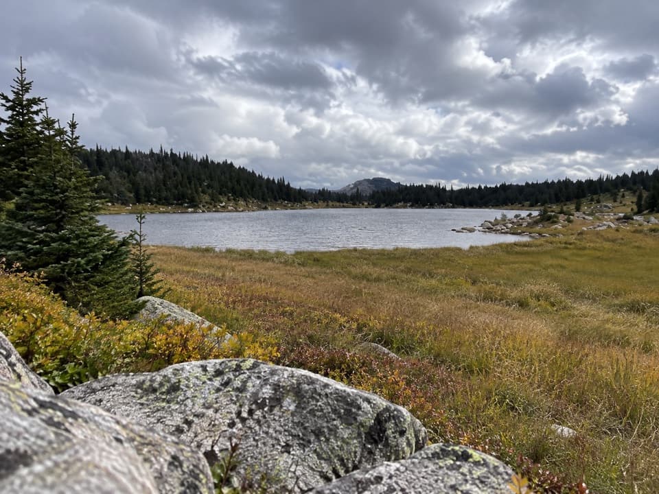 ModerateDollar Lake Trail7.5 mi · 4.5 hr · 4.5 mi awayFaint alpine tread links Top and Dollar Lakes.
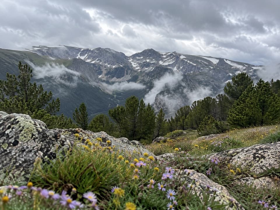 ModerateHellroaring Plateau Trail5.8 mi · 4 hr · 4.5 mi awayFollow an old road to a talus overlook above Shelf Lake.
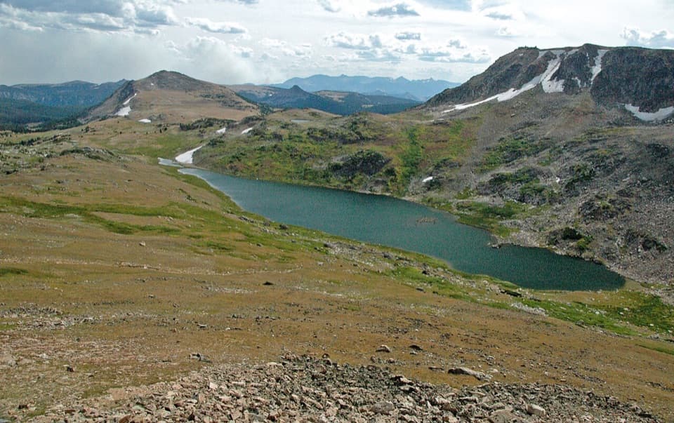 Scenic pullout · At the trailheadGardner Lake OverlookA broad roadside lake view; the shore means a steep climb back.
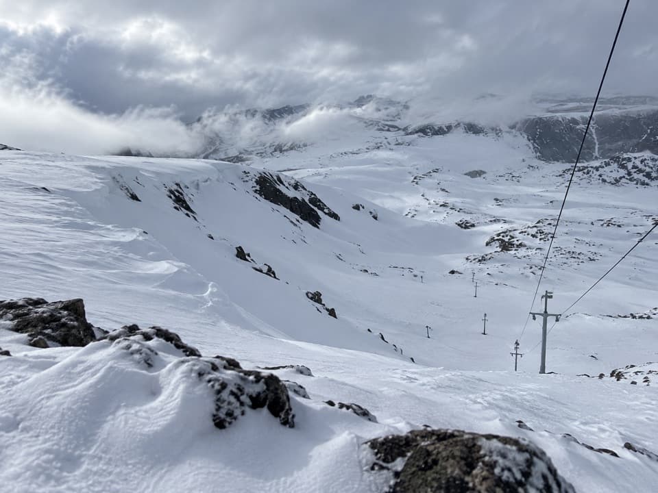 Sight · 0.9 mi awayBeartooth Basin Summer Ski AreaSummer skiing on a steep high-alpine headwall.
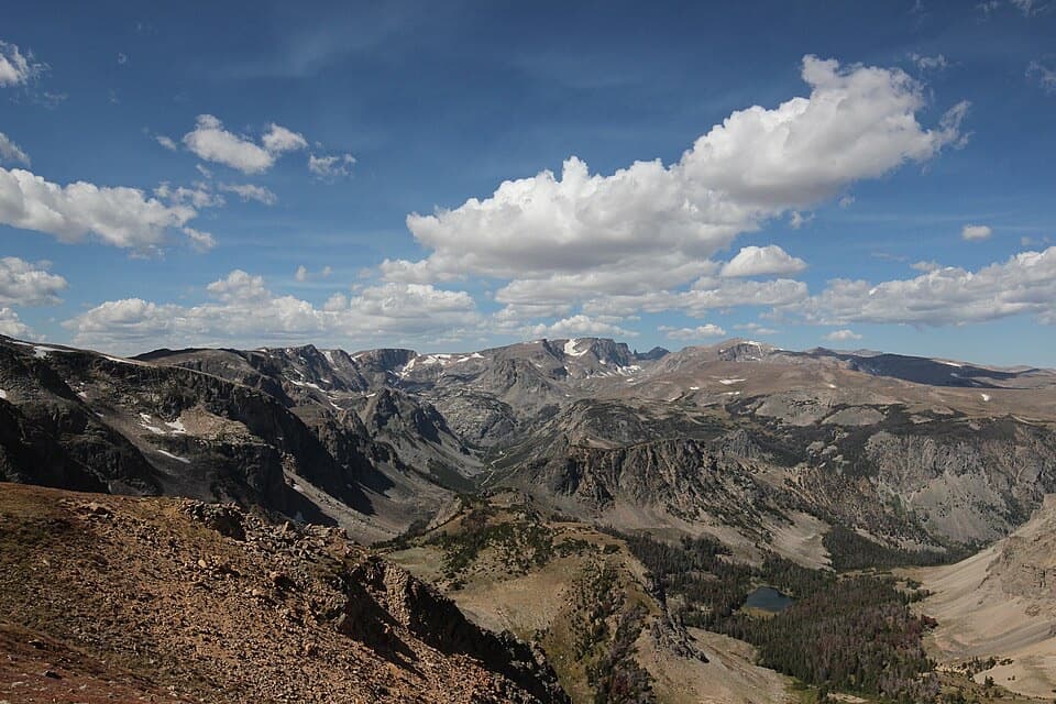 Sight · 1.1 mi awayBeartooth Pass VistaA high-alpine summit stop for open views, lingering snow and wildflowers.
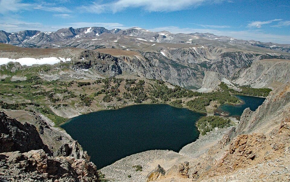 Scenic pullout · 1.7 mi awayTwin Lakes OverlookTwo alpine lakes, seen from above without a hike.
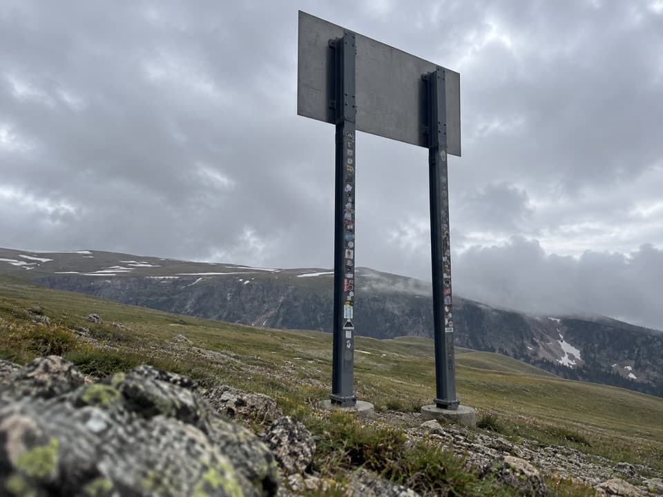 Sight · 3.1 mi awayMontana-Wyoming State Line SignA quick state-line sign stop on the seasonal Beartooth Highway.
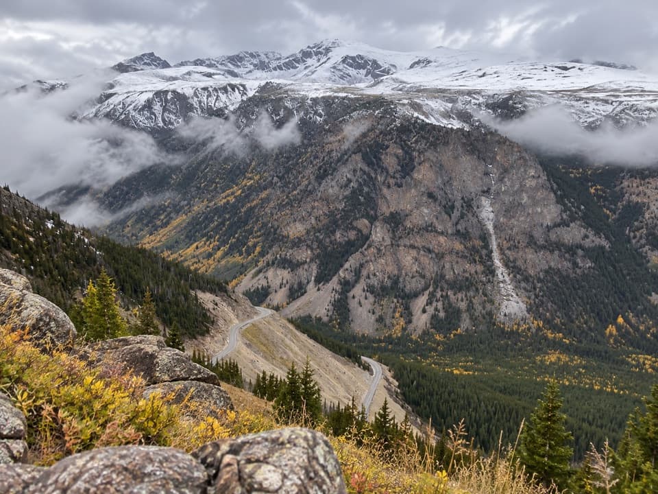 Scenic pullout · 4.4 mi awayQuad Creek Scenic OverlookThe highway curls below you across a wide mountain valley.
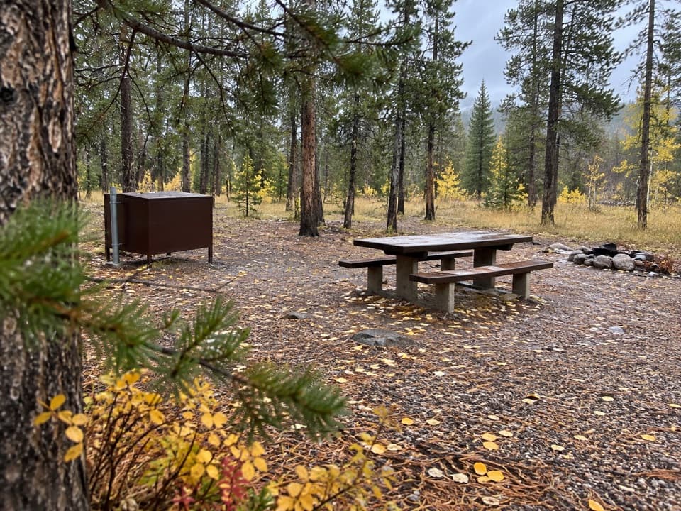 Campground · 4.6 mi awayM-K CampgroundA free creekside campground near Beartooth Highway hikes.
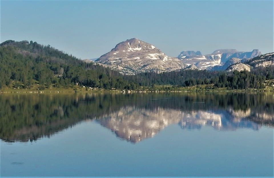 Campground · 4.8 mi awayIsland Lake CampgroundA simple high-country camp for lake views and nearby hikes.
Parkwolf’s Beartooth Highway ranking

The audio tour guide for the drive, plus offline maps, trails, and wildlife heatmaps for when the signal drops.