
Place · 0.1 mi away
Moderate
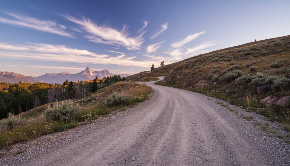
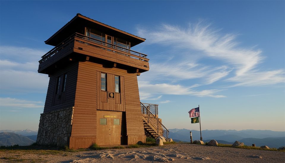
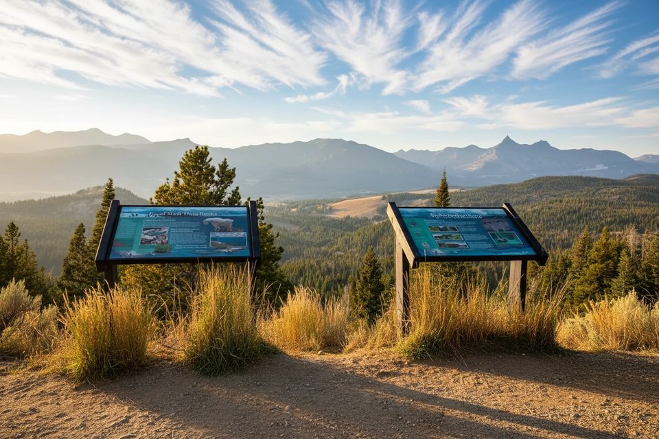
This is a straightforward out-and-back walk on a gravel Forest Service road to a historic fire lookout with huge, wind-in-your-face views of the Beartooth and Absaroka ranges. Expect roughly 5.2 miles total and about 800 feet of gain if you’re hiking from the gate instead of driving. It’s not a wild singletrack experience—you’re mostly following a one-lane road—but the payoff at the top is the kind of panorama that makes the Beartooth famous.
As of September 10, 2025, the Clay Butte Lookout site/visitor center is closed for the season. That typically means the gate near the top and the building are off-limits, and facilities are unavailable. If you still plan to go, treat it as a road walk to the vicinity of the lookout and confirm road access before you commit to the drive.
Turn off US‑212 just west of Beartooth Lake onto FR 142, a narrow, bumpy gravel spur with occasional pullouts. When open and dry, many visitors drive most of the way; when the gate is closed or you’d rather walk, start at the closure and hike the road—5.2 miles round trip, moderate effort, plan on about 2.5 hours. There’s a small parking area at the top in open seasons and a pit toilet when staffed. Dogs are allowed on leash.
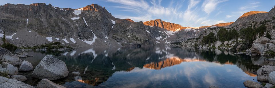
The lookout sits near 9,811 feet with sweeping 360° views—glaciated cirques, hanging valleys, and a skyline shaped by some of the continent’s oldest rocks. The Beartooth block rose during mountain‑building long after those ancient rocks formed, and Ice Age glaciers did the final sculpting. After snowmelt, the roadside meadows light up with wildflowers like harebells, shooting stars, monument plant, and elephant’s head.
The Beartooth Highway usually opens around Memorial Day and can stay open into mid‑October, weather permitting. Up high, summer still brings sudden cold, wind, and fast‑moving thunderstorms. Start early for calmer weather and clearer views, and bring layers—this area can feel like shoulder season even in July. If your goal is the lookout building itself, know that access hours (when open) have historically been limited to daytime windows.
This is prime grizzly country—carry bear spray and give all wildlife room. Lightning is a real hazard on this exposed ridge; if storms build, turn around. The road can be slick when wet, with ruts and minimal passing space. Cell service is hit‑or‑miss, so download maps before you go and have a backup plan.
Small parking area at the top when open; otherwise park at a pullout near the gate along FR 142 off US‑212 by Beartooth Lake.
High, exposed terrain with frequent lightning; grizzly country—carry bear spray; narrow one‑lane gravel road can be rutted and slick; limited cell service.
Place · 0.1 mi away
Place · 0.8 mi away
Place · 1 mi away
Place · 1 mi away
Moderate · 1.9 mi away
Moderate · 1.9 mi away
Moderate · 1.9 mi away
Challenging · 6.8 mi away

Parkwolf Tour Guide
