
Place · 0.5 mi away
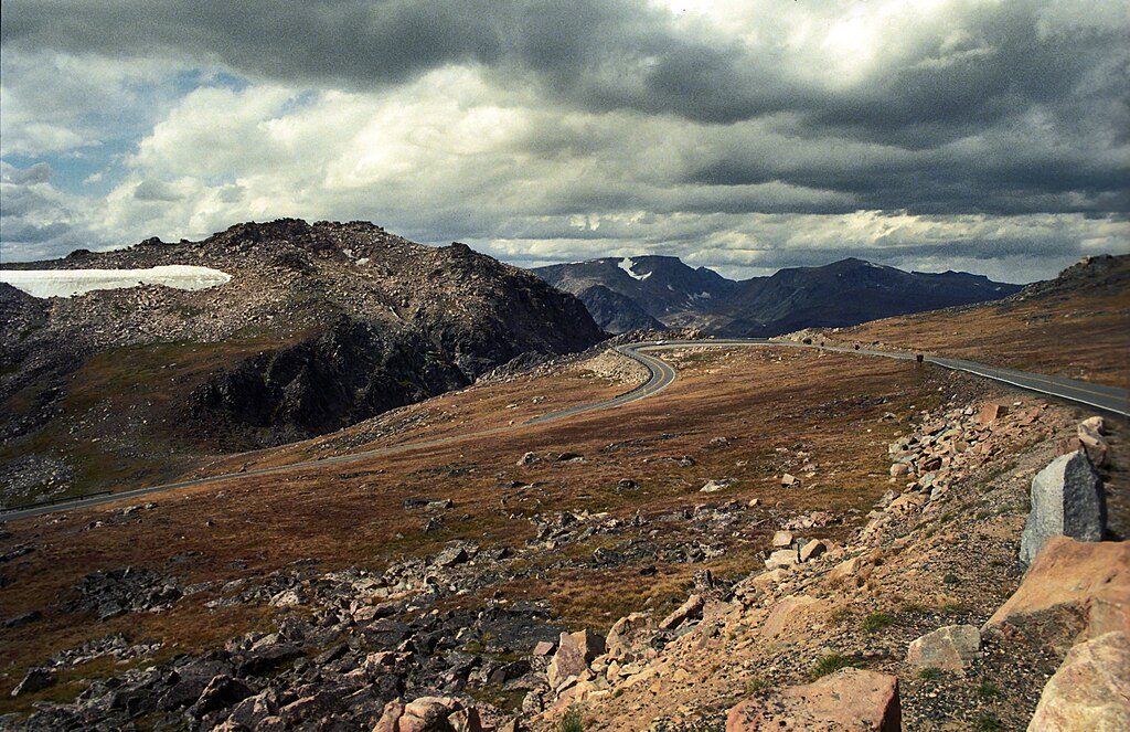
Beartooth Pass is the high point of US‑212 at about 10,947 feet—an easy pullout with a short signed spur and a classic summit marker photo. You’re above treeline here, on true alpine tundra, with big‑sky panoramas in every direction.
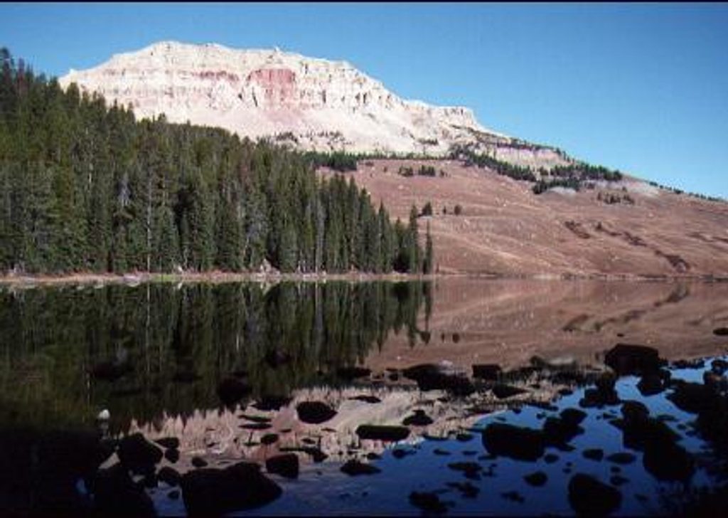
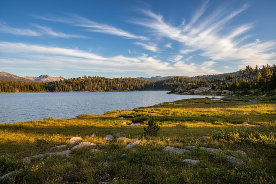
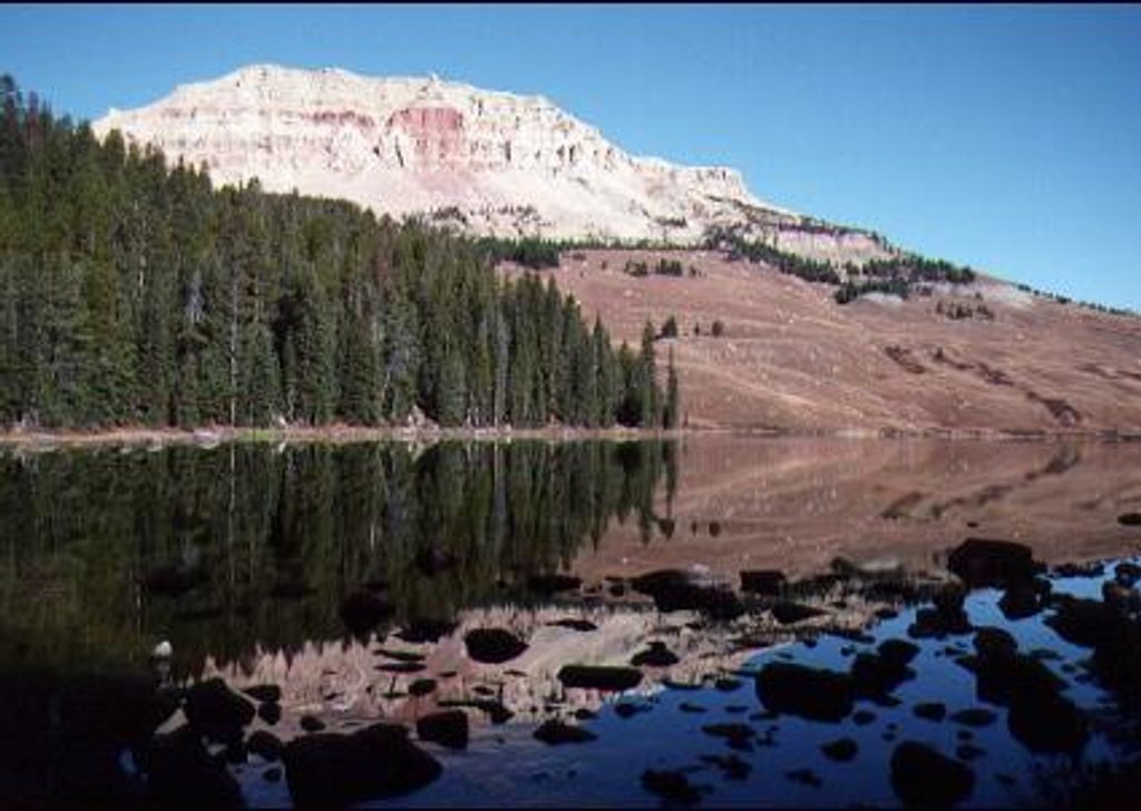
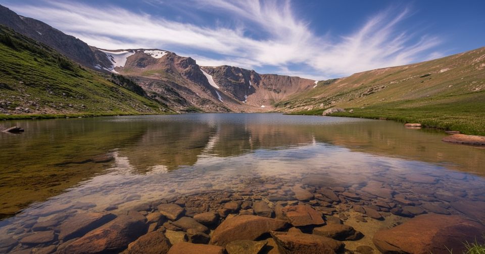
Expect sweeping views over cirques and a scatter of glacial lakes set into the plateau. The tundra shows off patterned ground and other high‑alpine details if you wander a few minutes from your car. This is one of the better spots on the drive to look for mountain goats; marmots are common in the talus, too.
You’re riding across some of North America’s oldest rocks—Archean gneisses and granites—and classic glacial landforms. The broader Beartooth region also includes the Stillwater Complex, recognized internationally for its geologic significance. It’s a roadside geology lesson with a knockout view.
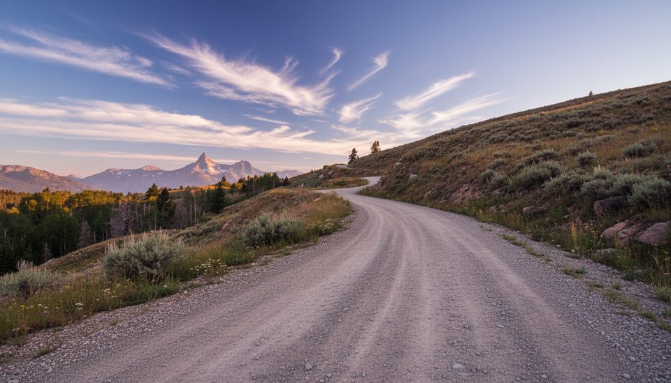
The access spur to the pass parking is gravel and can be rough with deep holes—go slow. The highway is winding and high, so use lower gears on descents and be ready for strong winds. Services are sparse along the crest; carry water, snacks, and layers.
The highway typically opens in late May/early June and can close by mid‑October; summer snow squalls can hit any day. Aim for a clear, dry window—if it’s socked in or icy, save it for another day.
Place · 0.5 mi away
Place · 0.7 mi away
Place · 1.1 mi away
Place · 1.2 mi away
Moderate · 0.8 mi away
Moderate · 1.3 mi away
Moderate · 1.3 mi away
Moderate · 1.3 mi away

Parkwolf Tour Guide
