
Place · 0 mi away
Moderate
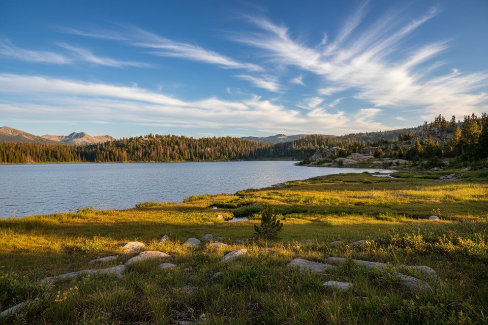
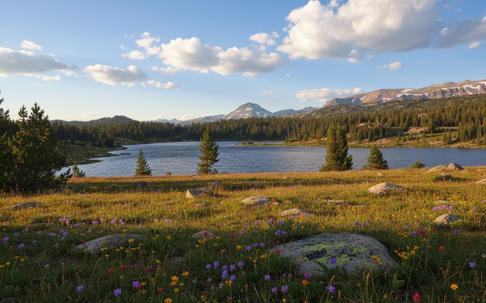
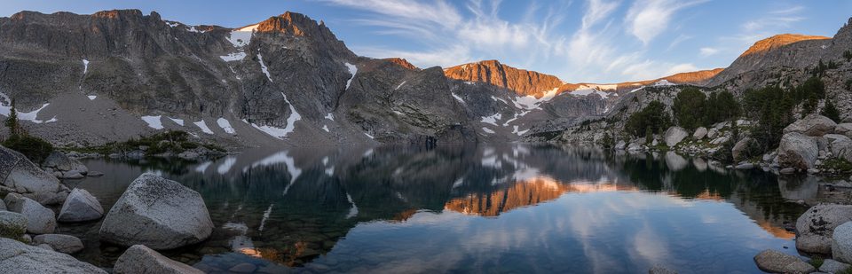
A quick hit of high country: this moderate 4.4‑mile total out‑and‑back climbs about 600 feet to big‑sky lake views off the Beartooth Highway. Expect a short but steady start, alpine meadows, and classic Beartooth granite all around. Most hikers take 2–2.5 hours, but altitude can make it feel punchier.
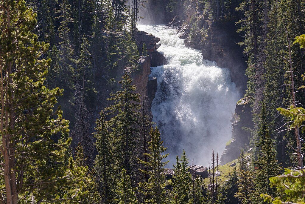
Start from the Beartooth Lake Campground area near the top of the pass and follow the signed path toward Beauty Lake. You’ll rock‑hop a creek early, weave through willows and lodgepole, then settle into easier grades. A spur leads to Crane Lake, and a fork offers a choice toward Beauty or Becker Lake. About two‑thirds of the way in, a river tumbles down rock cliffs in a photogenic waterfall. The final approach drops to Beauty Lake’s shore—gorgeous, but remember you’ll climb back to the meadow on the return, which is the day’s stoutest effort.
This corridor strings together lakes ringed by glacially carved terrain—U‑shaped valleys and granite benches tell the story. Keep an eye out for wildlife in open meadows and along the shorelines. Anglers often work Beauty Lake’s deeper edges; bring a valid Wyoming fishing license if you plan to fish. If you’re feeling ambitious, there’s a longer loop variation tying in Beartooth and Crane Lakes, and portions of the route enter the High Lakes Wilderness Study Area.
Summer into early fall is prime. Early to mid‑September often brings the most stable weather and fewer bugs, though nights run cold. Afternoon storms build fast at this elevation—start early and be off exposed terrain by mid‑day when thunderheads pop.
Expect at least one wet crossing; trekking poles, waterproof boots or water shoes, and a spare pair of socks are smart. Mosquitoes can be feisty in season. This is bear country—carry spray and know how to use it. Cell service is spotty along the highway. Road access over the Beartooth Pass is seasonal; always confirm current status before you commit.
Turn off US‑212 into Beartooth Lake Campground; continue roughly 0.5 miles on the campground road to the signed trailhead parking area.
High‑altitude weather shifts fast; seasonal road closures over Beartooth Pass. Wet creek crossings, mosquitoes, and active bear country—carry spray and start early.
Place · 0 mi away
Place · 0.2 mi away
Place · 0.9 mi away
Place · 1.3 mi away
Moderate · 0 mi away
Moderate · 0 mi away
Moderate · 1.9 mi away
Challenging · 5.4 mi away

Parkwolf Tour Guide
