
Place · 1.2 mi away
Moderate
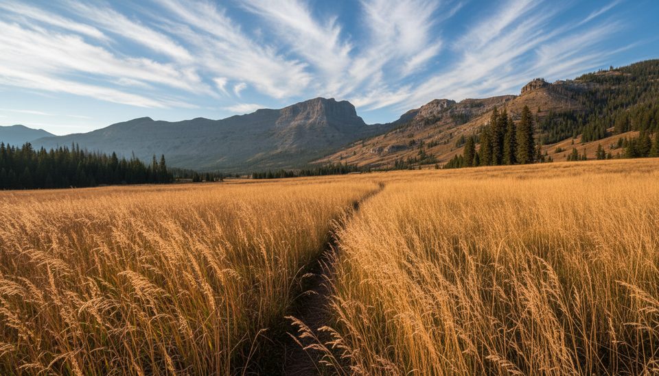
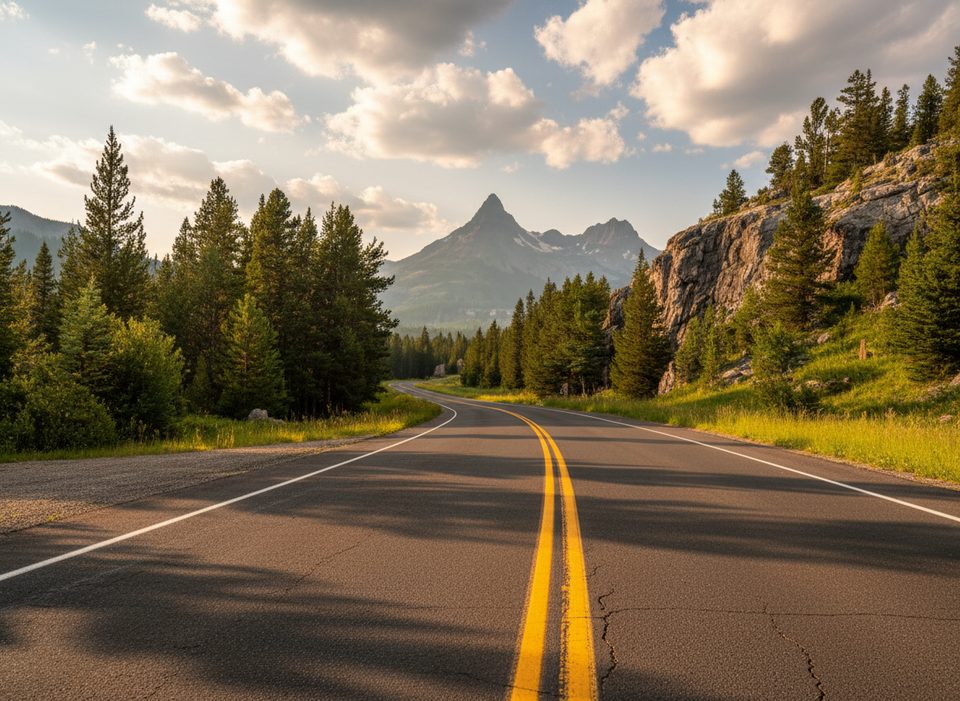
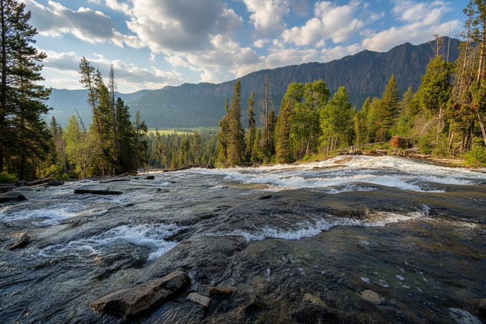
A classic northeast Yellowstone shuttle, Pebble Creek runs 12 miles one way from the Warm Creek Trailhead to the Pebble Creek Campground along the Beartooth Highway. Hiked north to south, it starts with a stout climb and then trends downhill through broad, photogenic meadows tucked beneath the Absaroka Range. Expect a few steep pitches, a generally well‑maintained path, and multiple water crossings—this isn’t a dry‑feet kind of day.
From Warm Creek, the trail climbs roughly 1,000 feet in the first 1.2–1.5 miles over the north shoulder of Barronette Peak, then eases into long meadow walking framed by Cutoff Mountain and other craggy summits. Count on about five crossings of Pebble Creek; early season flows can be brisk and cold, so bring fording footwear and trekking poles. There’s a signed junction with the Bliss Pass Trail partway through if you’re plotting a bigger itinerary. Near the lower end, you can bypass the final ford by taking the Pebble Creek Connector to reach the highway.
This valley is a good bet for wildlife: elk on the flats, bighorn sheep and mountain goats on the cliffs, and the possibility of black bears or moose. The corridor cuts through Absaroka volcanic rocks—look for lahar and other volcaniclastic textures—and portions of the tread follow a 1988 fire line, with lingering burn evidence in places.
June through October is prime. Early summer brings the greenest meadows and strongest creeks; later season usually means easier fords and fewer bugs. Start early for calm weather, better wildlife viewing, and softer light on the meadow walls. Storms can build fast here—pack a rain layer even on bluebird mornings.
Set up a car shuttle for the point‑to‑point. There’s limited parking at Warm Creek; the lower end is by Pebble Creek Campground. Note that the campground has been closed due to flood damage, so amenities and parking there may be limited—plan accordingly. Day hiking needs no permit, but overnighting requires a Yellowstone backcountry permit. Dogs aren’t allowed on Yellowstone trails. Bring bear spray, store food properly, and be ready to get your feet wet.
Limited parking at Warm Creek Trailhead near the Northeast Entrance; additional parking and vault toilets are at the Pebble Creek Campground end, but the campground has been closed due to flood damage so expect limited amenities and plan a shuttle.
Multiple fords of Pebble Creek (often five); early season flows are cold and swift. Expect a steep initial climb, sudden storms, bugs mid‑summer, and active bear country—carry bear spray and know how to use it.
Place · 1.2 mi away
Place · 2.2 mi away
Place · 4.8 mi away
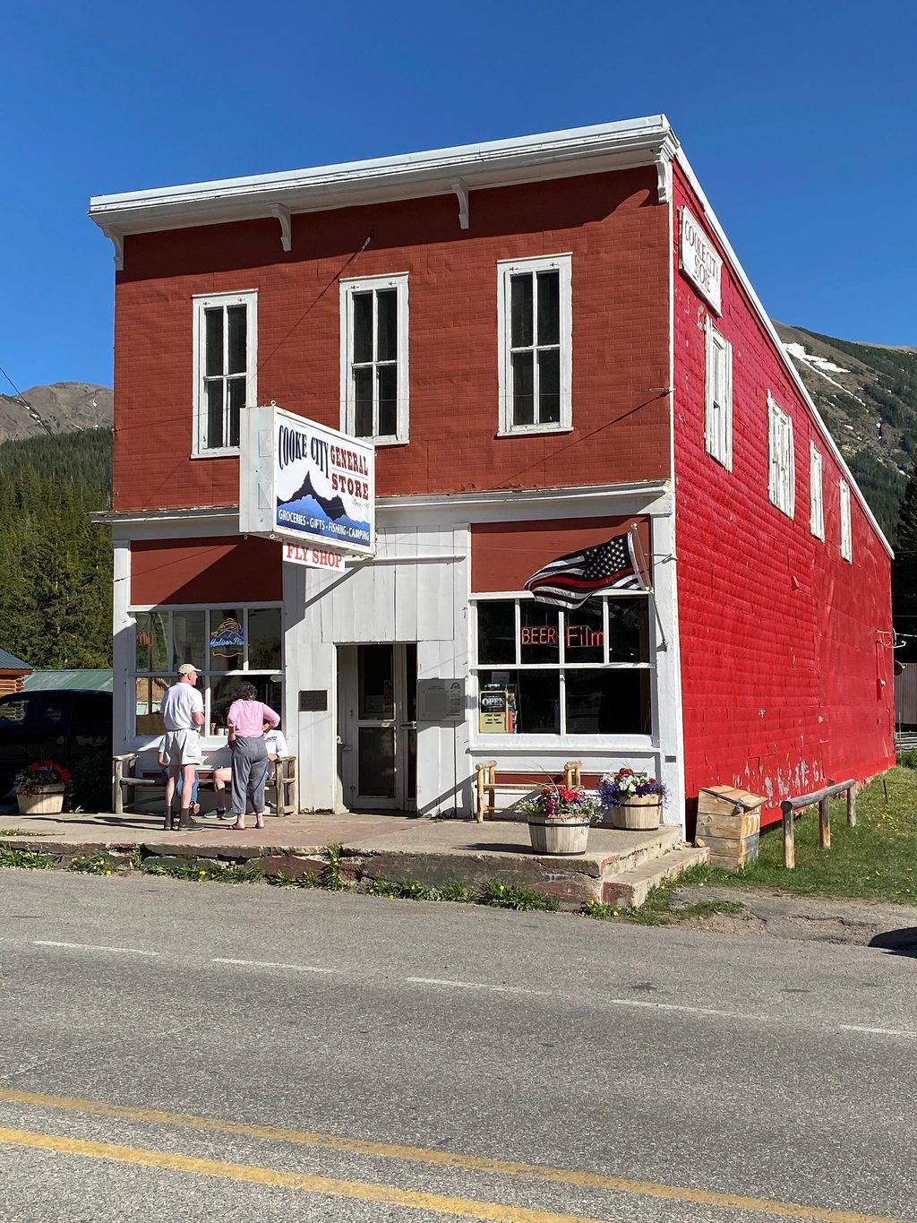
Place · 5 mi away
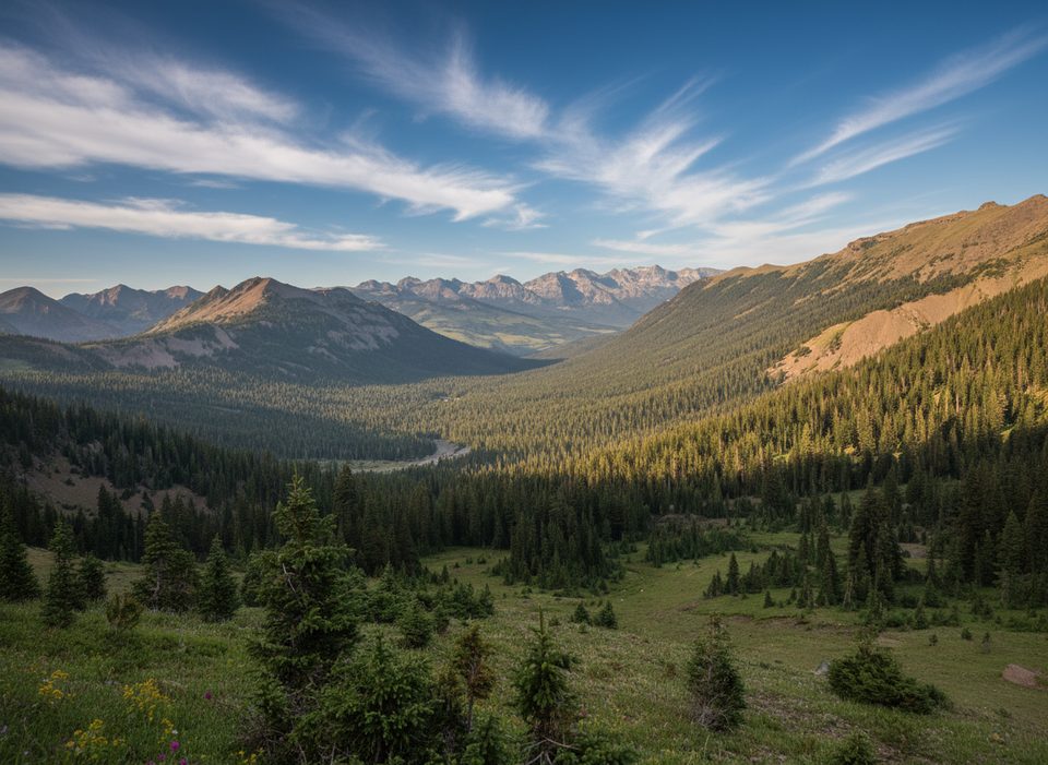
Challenging · 5.4 mi away
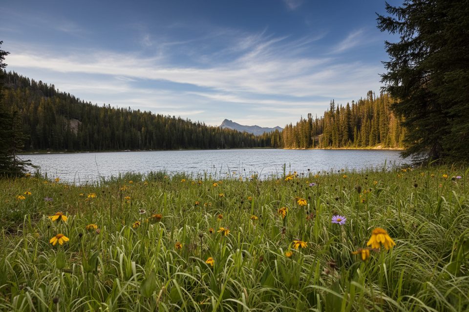
Moderate · 6.8 mi away
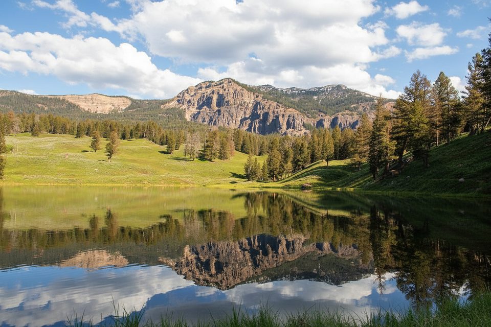
Easy · 8.6 mi away
Moderate · 13.4 mi away

Parkwolf Tour Guide
