
Place · 3.9 mi away
Challenging
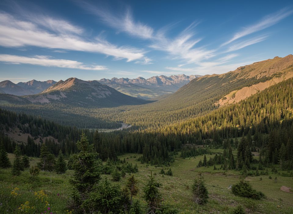
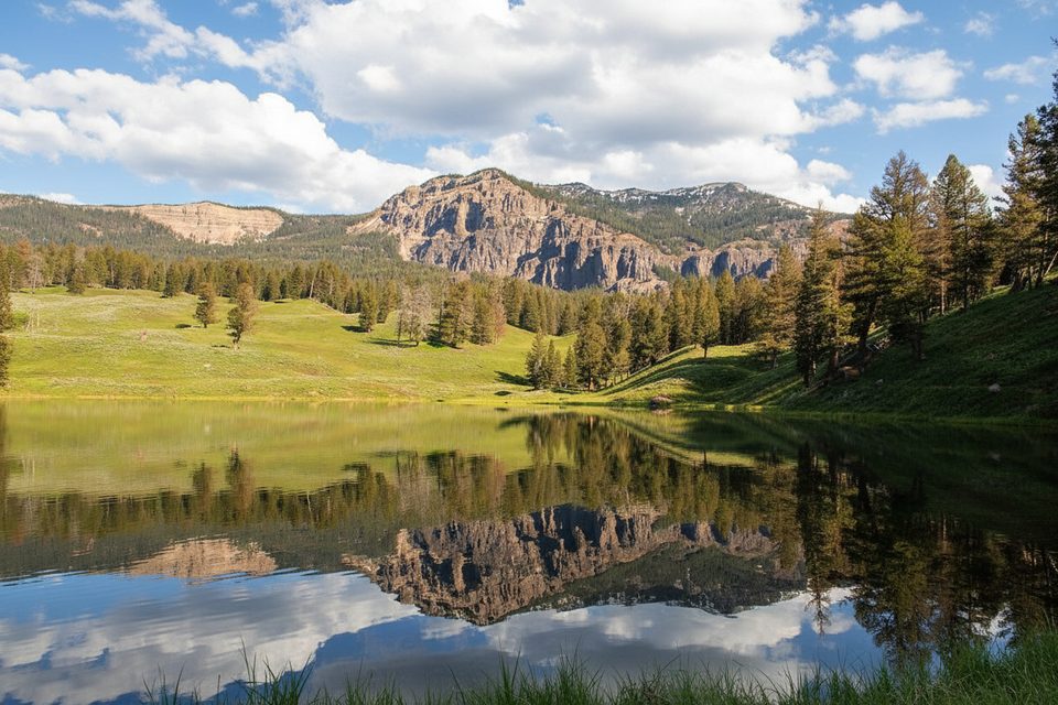
If you like big-country payoff after a grind, this one delivers. The Republic Pass Trail is an 11.5‑mile total out‑and‑back with about 2,647 feet of climbing, generally taking 6–7 hours. It starts in thick timber and meadows and finishes on a high, windswept saddle right on the Yellowstone boundary (~9,957 ft) with sweeping views toward the Absarokas and Beartooths. Expect solitude, serious vertical, and a real backcountry feel minutes from Cooke City.
From the small trailhead above Cooke City, the path climbs gradually for the first 2–3 miles through forest and open meadows, with intermittent orange blazes and cairns. Past Republic Meadows the grade steepens; the final ~1.5 miles are a sustained, switchback‑sparse climb of roughly 1,500 feet to the pass. Views open wide well before the top. Confident parties sometimes add a short off‑trail push over alpine grass and boulders from the pass to Republic Peak (~10,491 ft); there’s no maintained trail, so only consider it in stable weather with sure footing.
Plan for late spring through October, conditions permitting. Snow can linger early, thunderstorms and strong winds are common at the pass even mid‑summer, and this region can see a dusting any month. If you’re pairing the hike with a scenic drive, the Beartooth Highway typically operates from around Memorial Day into mid‑October, but closures swing with the weather—build flexibility into your plans. Early starts help with cooler temps, calmer winds, and quieter trail time.
The trailhead sits up the rough Irma Mine/Republic Creek road south of Cooke City (about 1.3 miles from town). There’s a notable rut right at the start—high‑clearance vehicles recommended—and parking is limited. Many hikers park lower and walk the final road section. The path can be faint in spots above treeline; carry an offline map and watch for cairns/blazes.
Dogs are allowed on the national‑forest side and are sometimes off‑leash in certain areas. Do not take pets into Yellowstone trails or backcountry. No permit is needed for a day hike from the Cooke City side. If you access the pass from within Yellowstone via Cache Creek/Thunderer Cutoff, a park entrance fee applies; any overnight inside the park requires a backcountry permit.
This is prime grizzly and black bear habitat—travel in groups when possible and carry bear spray. Early‑season snow patches, occasional downfall in old burn zones, wet approaches near creeks, and limited cell service are all normal. It’s often windy and exposed near the pass; pack warm layers, a rain shell, sun protection, and enough water or a treatment method. Trekking poles are clutch on the steep descent.
Limited pull‑outs at the end of the Irma Mine/Republic Creek road ~1.3 miles south of Cooke City; high‑clearance recommended. Many park lower in town and walk the final road section.
Grizzly country—carry bear spray; rough, high‑clearance access road; sudden wind, storms, and lingering snow near the pass; faint tread above treeline; pets and permits restricted if you cross into Yellowstone.
Place · 3.9 mi away
Place · 4.2 mi away
Place · 4.6 mi away
Place · 4.7 mi away
Moderate · 5.4 mi away
Moderate · 5.9 mi away
Moderate · 8.8 mi away
Easy · 9.3 mi away

Parkwolf Tour Guide
