
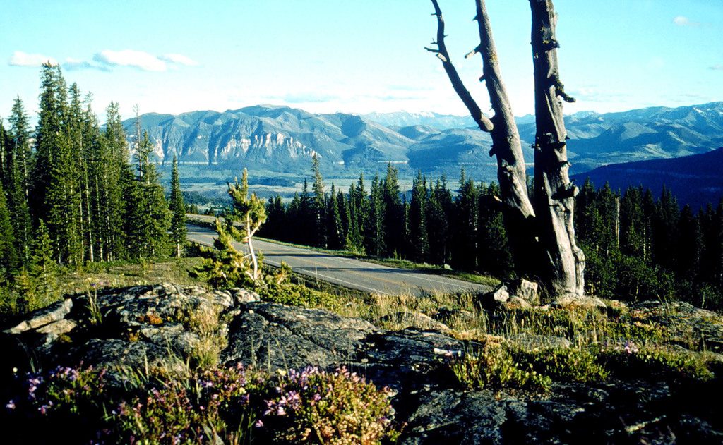
Place · 1.7 mi away
Moderate
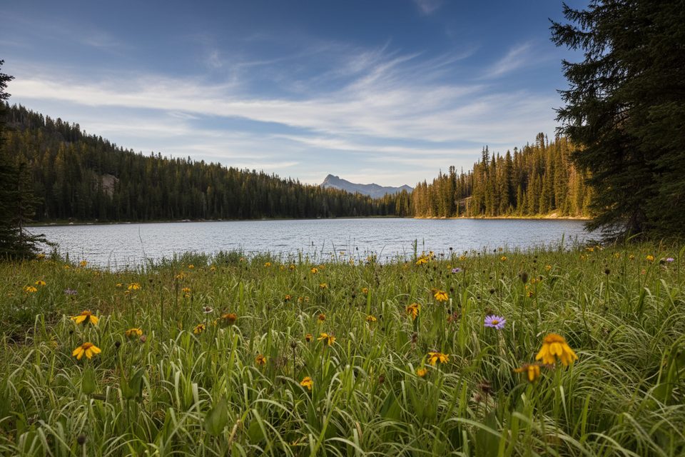
This is a classic Absaroka‑Beartooth outing near Cooke City with huge scenery for relatively modest effort. The standard “Lady of the Lake Trail” is an 8.2‑mile total out‑and‑back with about 1,095 feet of gain—moderate to the lake and basin, with optional, much tougher extensions into big alpine country. Expect fewer crowds than many Greater Yellowstone walks, plentiful water, and a real wilderness feel.
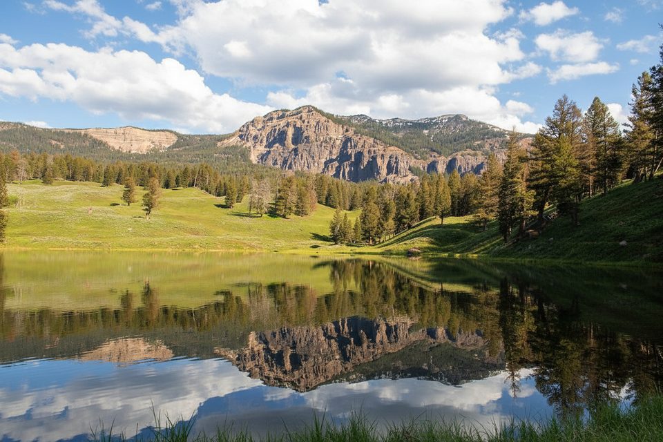
You’ll cross creeks, pass through meadows and timber, and reach the namesake lake early—many hikers turn around here for a mellow day. Beyond the lake the path climbs toward the Aero/Sky Top basin, where navigation gets spicier and the views open up to serrated granite and high plateaus. If you continue, watch for a key fork after the lake: take the left option for the cleaner line uphill; the right can turn into awkward bouldering. Cairns appear in places, but don’t count on a perfectly defined tread the higher you go.
To the lake, it’s generally moderate; beyond that it can feel strenuous with intermittent trail and talus. Multiple creek crossings are a given—water levels swing with melt and rain, and you may need to remove boots. Sections can be overgrown in spots. Mosquitoes can be fierce in midsummer, and afternoon storms roll in fast in this range.
Reach the trail from Lulu Pass Road out of Cooke City. There are two trailheads: a Lower TH with easier access and an Upper TH reached by a rougher, rockier stretch that favors high clearance. Starting from the Upper TH trims roughly a couple of miles off the day. Parking is free but limited and without services.
You’re in bear country—both black and grizzly bears are around—so carry bear spray and store food properly if camping. Mountain goats are commonly seen and can be bold near camps. Moose also roam the drainages. Give all wildlife space. Route‑finding challenges, slick fords, and sudden weather shifts are the main objective hazards.
June through October is the sweet spot, with the most reliable footing July–September. The Beartooth Highway typically stays open into mid‑October but can close early with fall storms, so road status matters. For photos and calmer weather, aim for morning departures; late summer brings clearer skies and fewer bugs. Dogs are allowed on leash.
If you’re after a quick family‑friendly taste, the stroll to the lake itself is short and gentle (about 1–1.5 miles one way depending on start point), with just enough effort to earn lunch by the water.
Free parking at Lower or Upper trailhead off Lulu Pass Road; small pullouts, no services. Upper TH shortens the hike but the final road is rough and best with high clearance.
Expect several creek crossings (often wading), route finding beyond the lake, bold mountain goats near camps, and active black/grizzly bears; carry bear spray and watch weather and seasonal road closures.
Place · 1.7 mi away
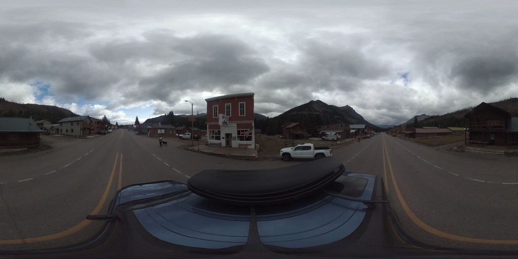
Place · 1.8 mi away
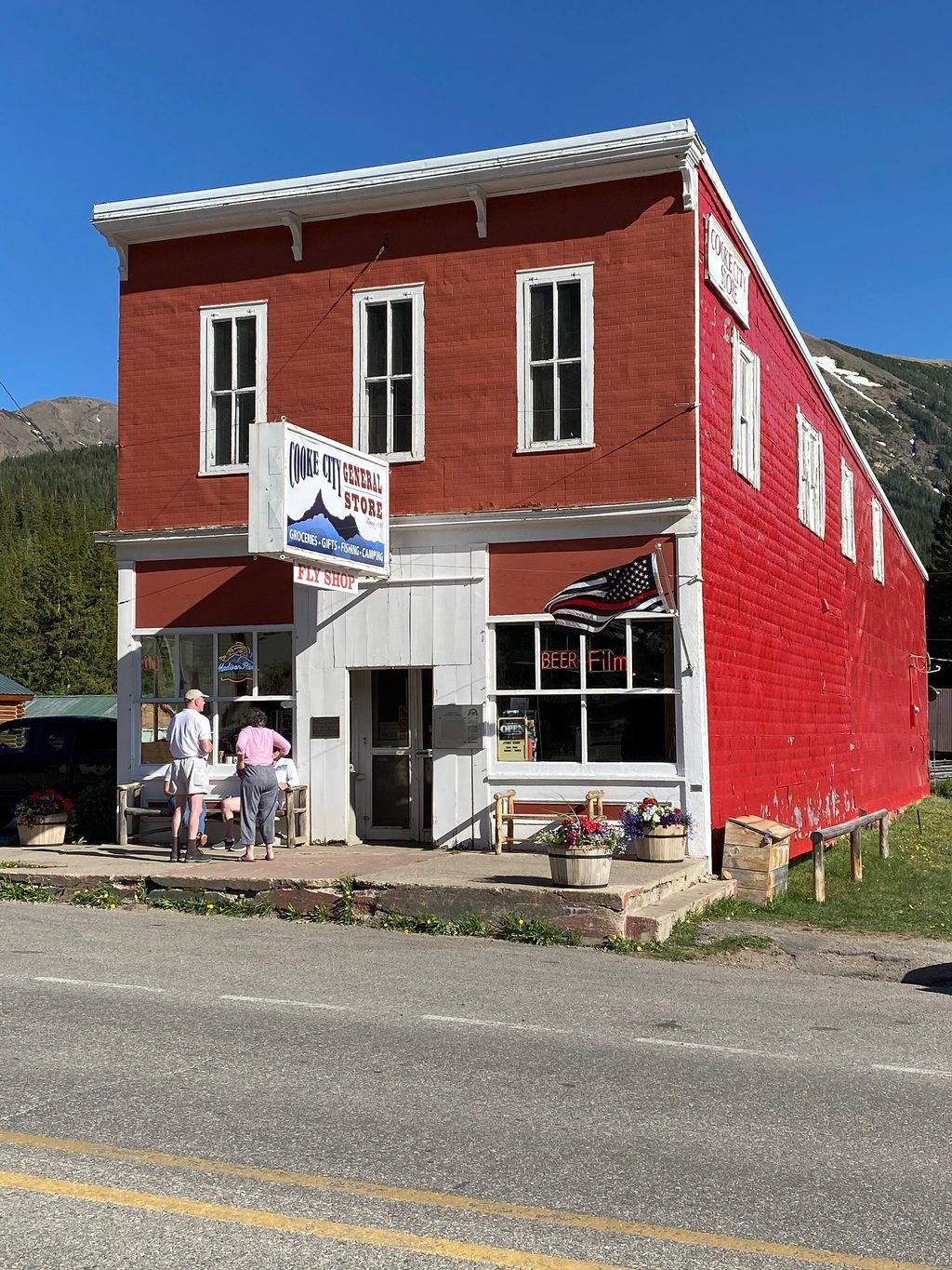
Place · 1.8 mi away
Place · 1.9 mi away
Challenging · 5.9 mi away
Moderate · 6.8 mi away
Moderate · 8.5 mi away
Easy · 14.3 mi away

Parkwolf Tour Guide
