
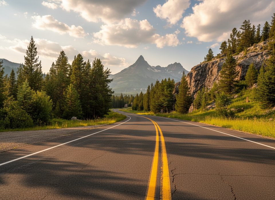
Place · 9.2 mi away
Easy
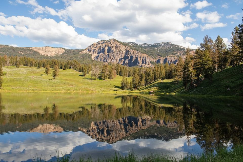
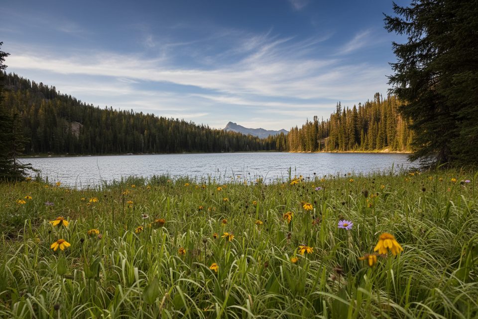
A classic quick stop along the Beartooth Highway corridor inside Yellowstone, Trout Lake is a 1.2‑mile total loop with about 200 feet of gain. The route punches up a short, steep hill from the road and then eases into a mellow shoreline path around a glassy subalpine lake. Most hikers spend 30–60 minutes here—perfect as a leg‑stretch between wildlife watching in Lamar Valley and a scenic drive toward Cooke City.
Expect big‑sky reflections and sweeping views toward the surrounding high country, including distant looks toward Beartooth Pass and peaks like Mt. Norris and the Thunderer. Along the water, watch for otters and goldeneye ducks. Black bears are commonly seen in this area—sometimes very close to the lake—so keep your distance and make space if wildlife is feeding or moving along the shore.
Once you crest the initial hill, the lakeside loop is mostly flat. An optional spur loops to nearby Buck Lake and brings the outing to roughly 2.0 miles total with about 300 feet of gain. That Buck Lake segment can be overgrown and less maintained—bring long pants and be willing to turn around if it feels brushy or faint.
May through September is the sweet spot. Early summer brings lush greens and active wildlife—but also bugs, so pack repellent. Mornings offer easier parking and calmer water for photography. Spring melt or wet spells can make small stream crossings trickier, and shoulder seasons can see quick weather shifts on the high country of the Beartooth.
The trail starts from a small pullout along the Northeast Entrance Road; parking is free but limited and there are no facilities. Pets are not allowed. Trout Lake is popular with anglers; a park fishing license is required, and standard aquatic‑invasive‑species rules apply (including restrictions on certain gear).
This corner of the park sits along the front of the Beartooth Mountains—ancient rocks uplifted during the Laramide Orogeny and later carved by Pleistocene glaciers. Those ice‑shaped cirques and hanging valleys helped leave the region dotted with lakes like this one.
Carry bear spray and know how to use it; give bears at least 100 yards. The opening climb is steep—pace yourself, especially in afternoon sun. Expect narrow, occasionally muddy shoreline sections. If you add Buck Lake, watch for indistinct tread and brush.
Small, free pullout on the Northeast Entrance Road; no facilities and spaces are limited—arrive early.
Steep initial climb; frequent bear activity—carry spray and give 100 yards; narrow, sometimes muddy shoreline; Buck Lake spur may be overgrown; stream crossings can be trickier in spring; significant bugs in summer.
Place · 9.2 mi away
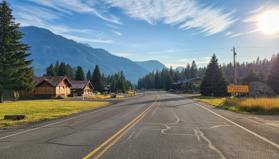
Place · 10 mi away
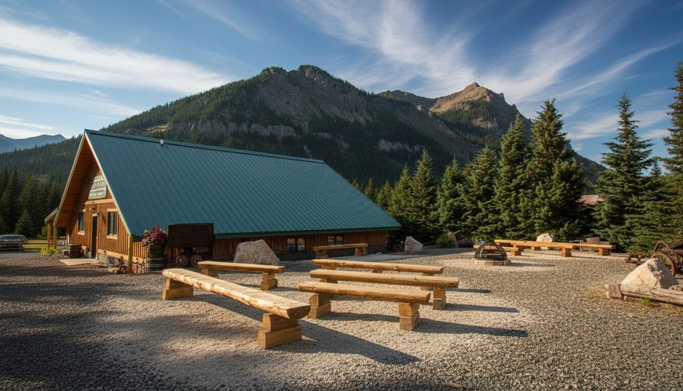
Place · 12.4 mi away
Place · 12.5 mi away
Moderate · 8.6 mi away
Challenging · 9.3 mi away
Moderate · 14.3 mi away
Moderate · 17.6 mi away

Parkwolf Tour Guide
