Parking
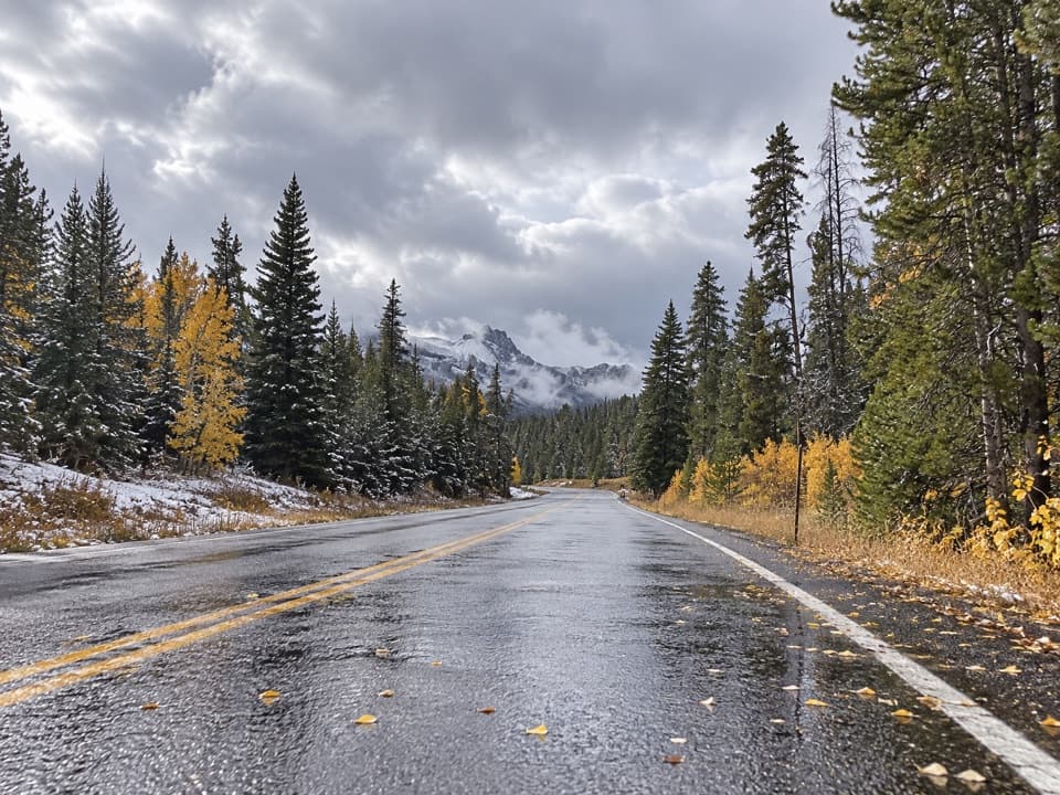
Use the unsigned Crazy Creek Falls pullout on the north side of US 212, almost opposite the campground entrance. It is easy to drive past.
Beartooth Highway, MT · WY
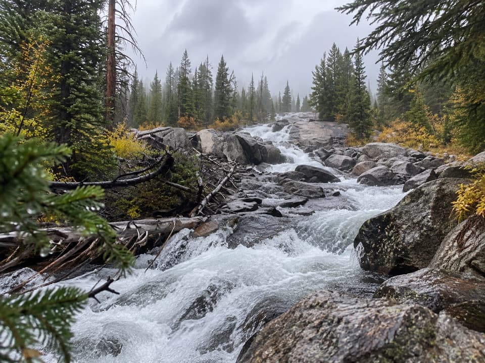
A quick walk to a cascade that changes with the season.
Overview
Map & elevation
Plan your hike

The highest, rockiest slopes around here are a summer buffet for grizzly bears.
Beartooth Highway Tour Guide
Parkwolf is a GPS audio tour guide for Beartooth Highway. As you drive, it chimes in with what’s ahead: hidden gems, upcoming stops, history, geology, and wildlife, right through your car’s speakers.
See the Beartooth Highway audio tourRecorded for this trailhead
Crazy Creek Falls“Crazy Creek Falls is coming up, a good short break if you'd like to stretch your legs beside a waterfall. Look for the unsigned pullout almost opposite the campground entrance.”
Plays as you drive up to this trailhead in the Parkwolf Beartooth Highway Tour Guide.
More stories near here in the app
“Fantastic app with many points of information… It’s great to just turn on while you’re driving and it gives you an audio tour of the national Park. We love it!!!!”


Trail guide
Crazy Creek Falls Trail is an easy out-and-back from a roadside pullout on US 212 to the cascades of Crazy Creek. The falls are about a tenth of a mile up the path, making this roughly a 0.22-mile round trip. Allow about 15 minutes for the walk and a look at the water. Most visitors turn around at the base.
Look for the unsigned parking area on the north side of US 212, almost opposite the Crazy Creek Campground entrance. It is easy to drive past. Follow the path uphill to the falls and return the same way. This short walk is separate from the longer Crazy Creek route, which continues beyond the falls and climbs farther up the creek into the Absaroka-Beartooth Wilderness.
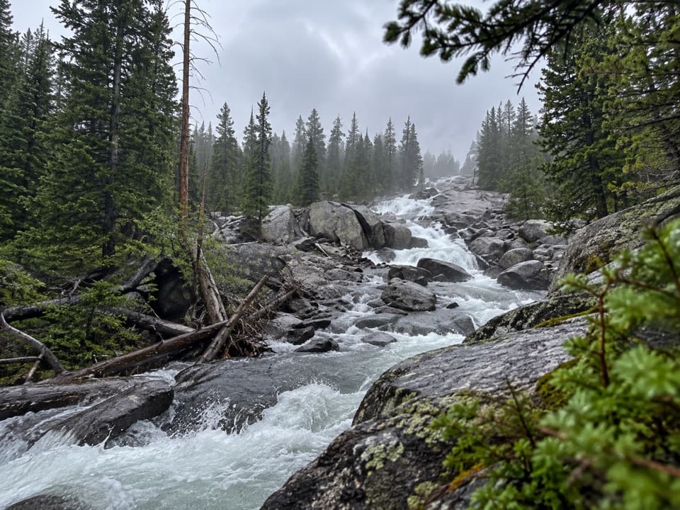
Spring runoff can turn Crazy Creek into a torrent; by late summer it may dwindle to a trickle. The falls are a cascade over rock ledges rather than one sheer drop, so the amount of water changes the whole look of the stop.
Wildlife
 42 sightingsGrizzly BearMost seen around 7 AMSighting map
 22 sightingsGray WolfMost seen around 6 AMSighting map
 49 sightingsBisonMost seen around 6 AMSighting map
 122 sightingsMooseMost seen around 6 AMSighting map
 260 sightingsMountain GoatMost seen around 7 AMSighting map
 16 sightingsBighorn SheepMost seen around 7 PMSighting map
Sighting maps show where each species has been reported across Beartooth Highway. Wildlife moves, so no sighting is guaranteed.
Keep exploring
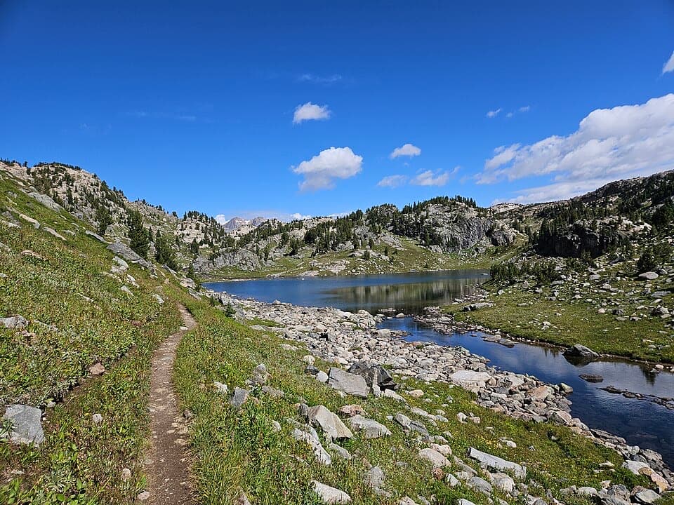
 ChallengingCrazy Creek Trail #56811 mi · 7.5 hr · At the trailheadA long climb from US 212 into Beartooth lake country.
 ChallengingLake Reno Trail10.2 mi · 7 hr · At the trailheadA long wilderness climb reaches Lake Reno
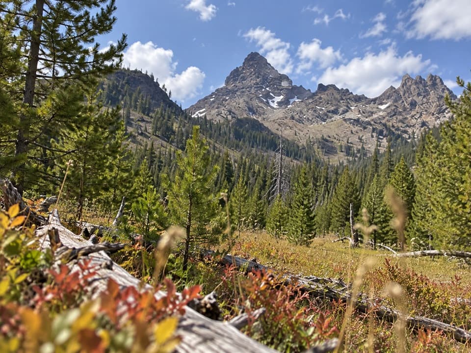 ChallengingPilot Creek Trail12.5 mi · 7 hr · 2 mi awayA long creekside climb to falls, crags, and a grassy meadow.
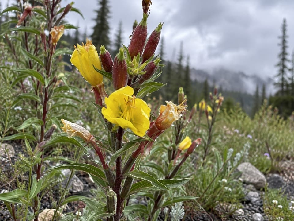 ModerateLost Lake Trail #6174.8 mi · 3.5 hr · 2.2 mi awayA steep climb through high country ends beside a lake.
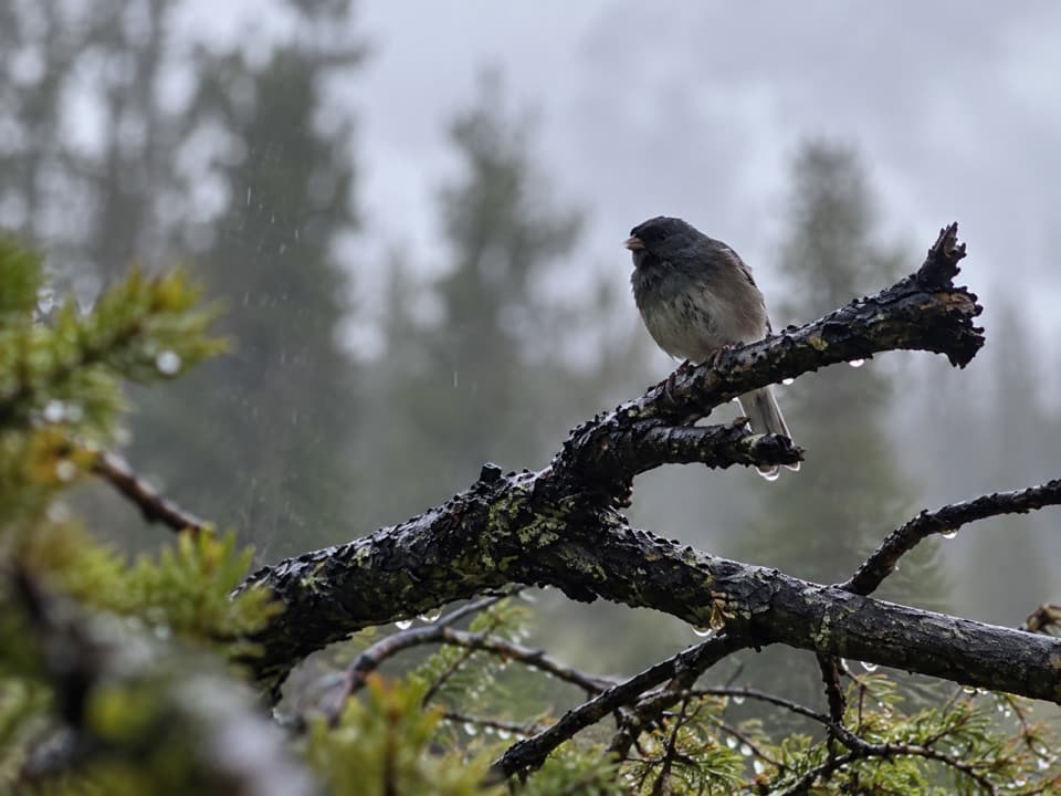 ModerateBig Moose Lake Trail6 mi · 4 hr · 2.7 mi awayA high-country lake at the end of a three-mile mountain trail.
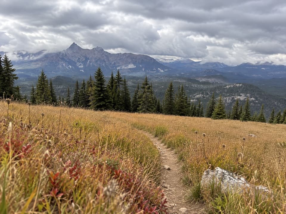 ModerateClay Butte Trail #6143 mi · 1.8 hr · 6.9 mi awayOpen meadow, high-country creeks and a junction with Trail #620.
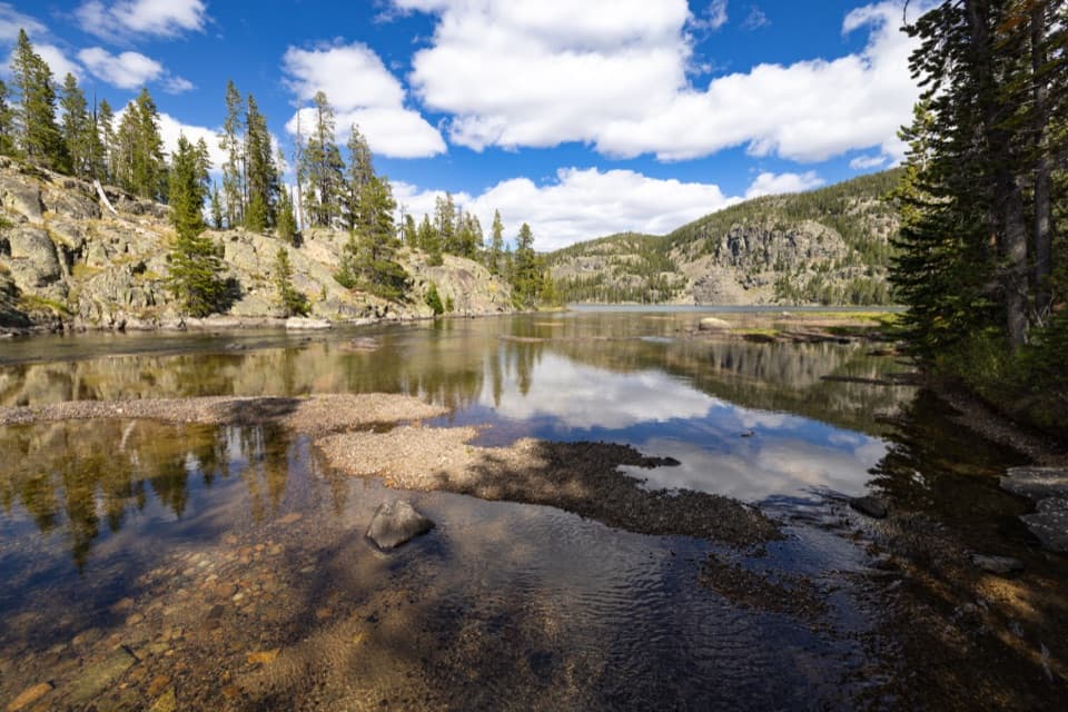 ModerateGranite Lake Trail via Clay Butte10 mi · 6.5 hr · 6.9 mi awayA 10-mile out-and-back to a 228-acre high-country lake.
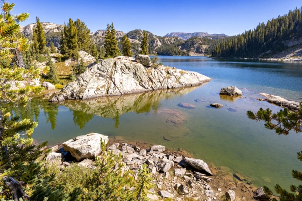 ChallengingHigh Beartooths Lakes Loop22 mi · 12 hr · 6.9 mi awayA full-day circuit linking alpine lakes above 8,700 feet.
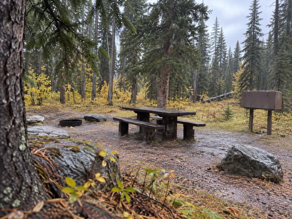 Campground · 0.1 mi awayCrazy Creek CampgroundA 16-site campground on a bluff above its namesake creek.
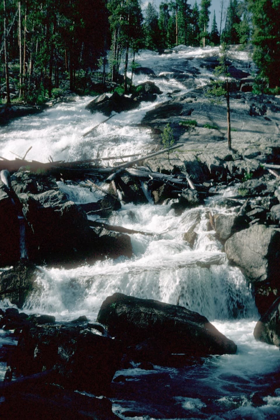 Sight · 0.1 mi awayCrazy Creek FallsA short walk reaches a broad cascade beside the Beartooth Highway.
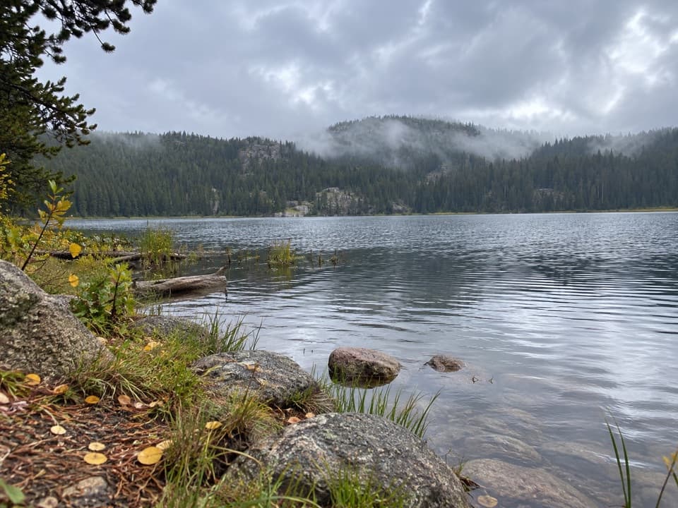 Campground · 2.9 mi awayLily Lake CampgroundA simple lakeside camp reached by a one-mile gravel spur.
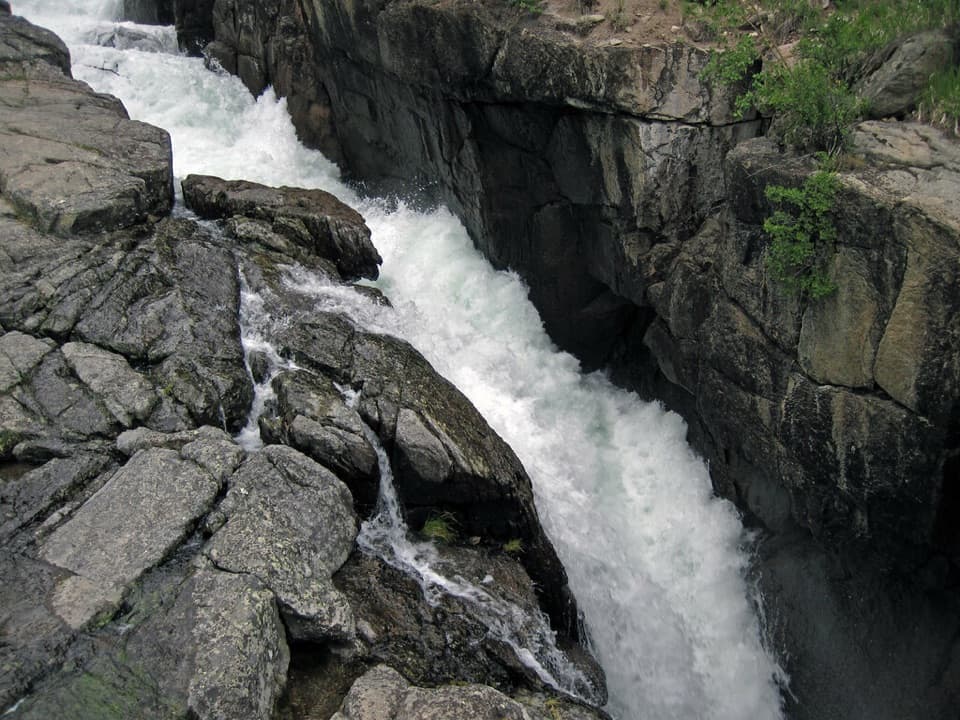 Sight · 3.5 mi awayLake Creek FallsA short bridge walk reaches a waterfall in a granite gorge.
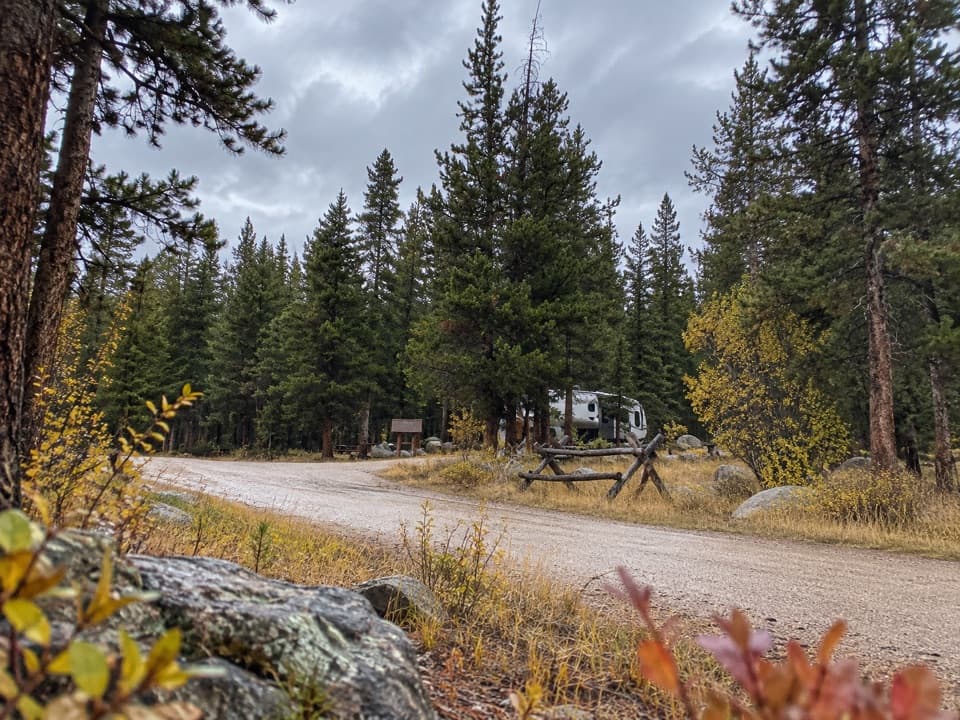 Campground · 3.7 mi awayFox Creek CampgroundSleep under conifers with Pilot and Index Peaks in view.
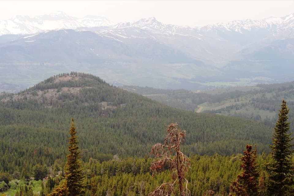 Scenic pullout · 4 mi awayClarks Fork OverlookA roadside view where the valley's geology comes into focus.
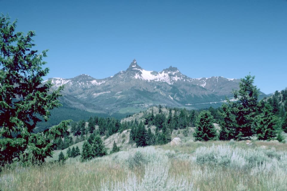 Scenic pullout · 6.6 mi awayPilot and Index Peaks OverlookTwo sharp peaks crown the Clark’s Fork valley view.
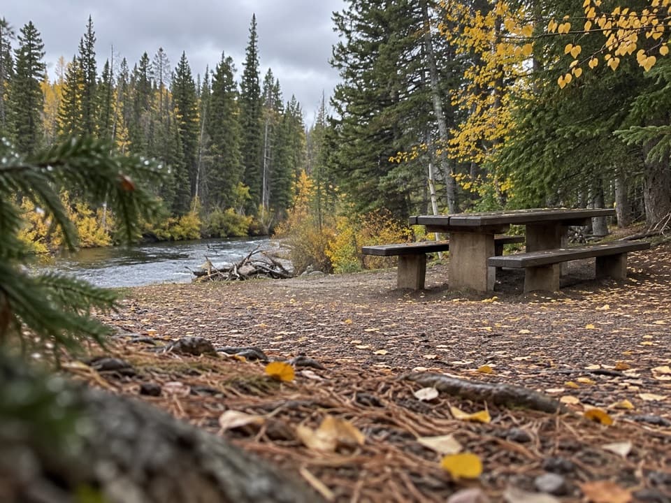 Picnic area · 7 mi awayClarks Fork Picnic AreaA riverside pause with a little highway and flume history.
Parkwolf’s Beartooth Highway ranking

The audio tour guide for the drive, plus offline maps, trails, and wildlife heatmaps for when the signal drops.