Pros & cons
PROS
- Extensive, evocative mercury‑mine ruins
- Remote solitude and broad desert vistas
CONS
- Rugged, time‑consuming backcountry access
- No water, shade, or restrooms
Overview
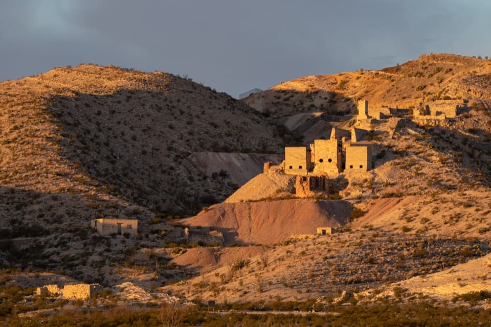
Set deep in the park’s interior on the north end of Mariscal Mountain, Mariscal Mine is a deserted quicksilver (mercury) operation where industry meets desert. It’s remote, atmospheric, and one of the most tangible windows into Big Bend’s mining past.
What You’ll See
- Industrial archaeology everywhere: furnace platforms, machinery and compressor foundations, ore bins, chimneys, shafts, and scattered debris.
- A prominent slag heap below the ruins and broad desert views from the slopes.
- Some signage on site, but expect limited interpretation.
Getting There & What to Expect
Reaching the mine requires driving primitive backcountry routes such as River Road; high‑clearance (preferably 4WD) is strongly advised. Expect sharp rocks, slow going, and very low traffic—you may not see another car for hours. The long, rough approach is part of the experience for those who like solitude and exploration.
Safety & Stewardship
This is an abandoned industrial site with unstable structures and open shafts—look, don’t touch. Mercury residue is toxic; avoid handling ore piles, bricks, or mining debris. There are no services: no water, restrooms, or shelter, and cell coverage is unreliable. Bring extra water, food, navigation, and a spare tire, and give yourself plenty of daylight for the round‑trip.
History Snapshot
Active in fits and starts from 1900 until its final closure in 1943 (just before the park was established), the operation processed cinnabar ore into mercury and supported a small community that’s now vanished. The site is preserved as a historic remnant and represents the region’s quicksilver era.
Guided Options
If you’d rather not manage the logistics yourself, commercial day trips sometimes include Mariscal Mine alongside other historic backcountry sites.
Best Time to Visit
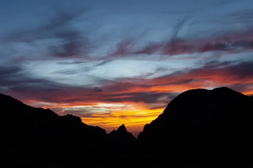
Open around the clock, but aim to arrive with ample daylight due to the long, slow approach. Crowds are minimal any day. Late‑day light works well on the ruins, and sunset can be especially pretty—just ensure you have enough time to exit safely.
Where it is
29.0954, -103.1875Tips for Mariscal Mine
- 01Plan 2+ hours each way from the paved road and start early to keep daylight on your side.
- 02Use high‑clearance (preferably 4WD) and carry a full‑size spare; sharp rocks are common.
- 03Bring all water and food—there are no services anywhere near the site.
- 04Do not touch ore piles or bricks; mercury residue is toxic.
- 05Some backcountry routes in this area may require a permit—confirm before you go.
Amenities
Near Mariscal Mine
All places →All trails →
0 mi awayMariscal Mine TrailRemote mercury mine ruins with big views for a short effortEasy · 0.9 mi · 30 min
2.5 mi awayElephant TuskRemote primitive camp beside a dramatic volcanic plugTrailhead · Parking
5.8 mi awayGlenn SpringRemote historic spring with primitive campsites and big desert viewsCampground
6.8 mi awayMariscal CanyonRemote, sheer-walled gorge with solitude and serious adventureTrailhead · Scenic Viewpoint
7.4 mi awayMariscal Canyon Rim TrailRemote, hard desert climb to a jaw-dropping Rio Grande canyon rim.Challenging · 6.5 mi · 4 hr
11.4 mi awaySouth RimGrandstand views from a tough, rewarding Chisos rim loopScenic Viewpoint
12.4 mi awayPine Canyon TrailRemote desert-to-forest climb to a dramatic, sometimes-flowing pouroffModerate · 4 mi · 2.2 hr
12.6 mi awayChihuahuan Desert Nature TrailEasy 0.5-mile loop through desert flora at a shady oasis.Easy · 0.5 mi · 30 min