Pros & cons
PROS
- Short, rewarding trail that actually enters the canyon
- Iconic limestone walls and riverbank access for photos or a paddle
- River trips allowed with a free day‑use permit (permit still required)
CONS
- Terlingua Creek can be impassable after rains, blocking the hike
- Parking fills and crowds build at peak times
Overview
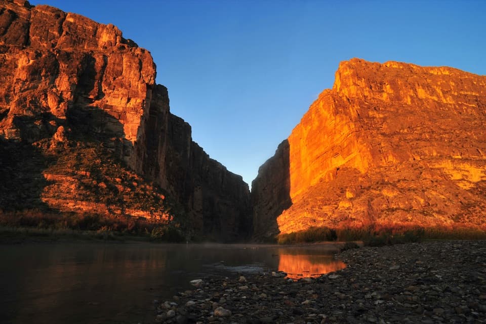
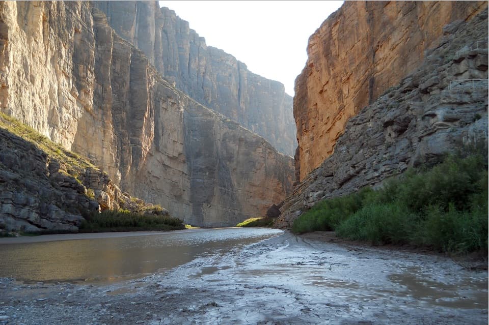
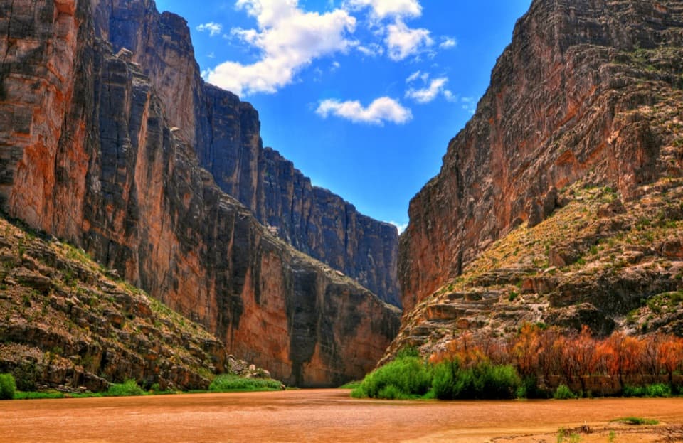
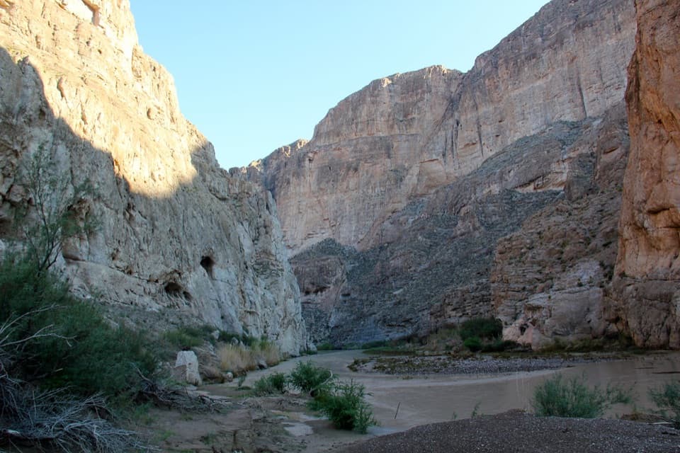
Santa Elena Canyon is Big Bend’s showstopper: a narrow Rio Grande gorge with sheer limestone walls rising up to 1,500 feet and stretching roughly seven miles. It’s right at the end of the Ross Maxwell Scenic Drive, where a short trail slips from desert scrub into the cool, echoing heart of the canyon.
What You’ll See
Expect big drama fast: towering, vertical limestone, shifting light on cliff faces, and the hush of the river. Inside, the canyon can pinch narrow; in places the river corridor is only a few dozen feet across. On calm days you’ll find sandbars to explore and shady nooks along the riverbank.
The Hike and River Access
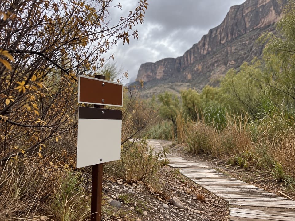
The signed trail starts at the parking area and typically begins with a crossing of Terlingua Creek before climbing stairs and ramps to canyon viewpoints, then dropping back to the river inside the gorge. Plan on about 1.4 miles round‑trip. When creek flows are up, that initial crossing can become the trip‑ender—check conditions before you commit. Paddlers can launch here as well; a backcountry river permit is required for all trips, though day use has no fee.
Geology Snapshot
These cliffs are thick limestone layers laid down in an ancient sea tens of millions of years ago, later uplifted and carved by the Rio Grande. Rockfalls and slides add to the drama—one notable Mexican‑side slide (nicknamed the Labyrinth) creates serious navigational challenges for boaters.
Best Time to Visit
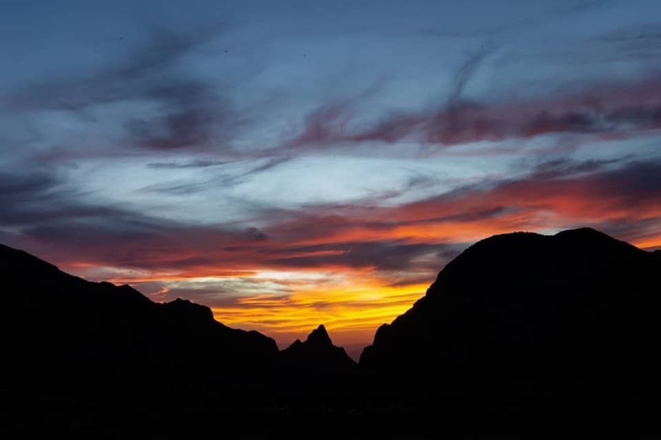
Cooler months (fall through spring) are the sweet spot. In summer, heat radiates off the stone and shade is limited. For photos, aim for early or late light—sunrise and especially sunset bring out warm glow on the canyon walls. Arrive early or late in the day to avoid the busiest parking crunch.
Wildlife
This is a riparian corridor, so keep an eye out for birds along the river; visitors also report seasonal butterflies near the canyon mouth. Bring binoculars and linger—quiet moments here tend to reward you.
Practicalities
Amenities at the trailhead include vault toilets, picnic tables, parking (including space for larger vehicles), and interpretive info. There’s no water or food service—bring everything you need. If you’re boating, study the route, secure your permit in advance, and be realistic about hazards inside the canyon.
Where it is
29.1654, -103.6141Tips for Santa Elena Canyon
- 01Arrive early or near sunset to beat crowds and snag parking.
- 02Check Terlingua Creek conditions; high water can stop the hike at the start.
- 03Bring plenty of water and sun protection—shade is limited.
- 04For paddling, get the required backcountry river permit; day use has no fee.
- 05Sunset light on the canyon walls is typically the most photogenic.
Amenities
Near Santa Elena Canyon
All places →All trails →
0.3 mi awaySanta Elena Canyon OverlookEasy stop with a jaw-dropping view into Santa Elena CanyonTrailhead · Parking
0.3 mi awaySanta Elena Canyon TrailShort walk into a jaw-dropping border canyon on the Rio GrandeEasy · 1.6 mi · 1 hr
2 mi awayTerlingua AbajoQuiet, primitive desert camps near Old Maverick RoadCampground · Parking
2.2 mi awayDorgan house ruinPhotogenic adobe ruins with Rio Grande views and rich historyTrailhead · Pullout
2.2 mi awayDorgan-Sublett TrailShort, easy walk to historic ruins with big Rio Grande viewsEasy · 1.6 mi · 45 min
5.9 mi awayCottonwood CampgroundShady, quiet oasis near Santa Elena, perfect for birdwatchersCampground · Restroom
7.8 mi awayTuff Canyon TrailShort, easy dive into a pale volcanic canyon off a scenic driveEasy · 0.8 mi · 24 min
10.8 mi awayMule Ears Spring TrailDesert stroll to a shady spring beneath the Mule Ears peaksEasy · 3.9 mi · 2 hr