Langford Hot Springs in Big Bend National Park

#6 of 45 sights in Big Bend

Sight · Big Bend National Park

Langford Hot Springs

A warm soak inside a historic bathhouse foundation.

Photo: National Park Service
Type
Sight
Nearest trail
2.5 mi
Audio stories
7 nearby
  • Parking
  • Picnic tables
  • Restrooms
  • Trailhead

Hear the audio tour

Langford Hot Springs

Overview

About Langford Hot Springs

Why stop

  • A short walk ties the soak to a remarkable borderland resort story.

Heads up

  • Crowding and river sediment can change the experience.

Map

Where it is

Loading the Big Bend map
Full map
SightLangford Hot Springs29.17951, -102.99553
Keep this map with you offline in the Parkwolf app

Plan your stop

Before you go

2 active Big Bend alerts

  • ClosureWeather-related road closuresDo not use these closed roads; NPS lists the closures as in effect until further notice.Official details
  • InfoBoquillas Crossing schedule changeBoquillas Crossing is open Friday through Monday, 9:00 a.m.–4:00 p.m.; NPS says it will not change to winter hours at this time. Check current park conditions before planning a crossing.Official details
Big Bend alerts
A park ranger sits on a dash-mounted phone, talking, as Parkwolf’s Tour Guide plays “Army Cutworm Moths: A Grizzly Bear Buffet” on Grand Loop Road below Dunraven Pass in Yellowstone
Parkwolf Tour GuideThe highest, rockiest slopes around here are a summer buffet for grizzly bears.

Big Bend Tour Guide

Your drive to Langford Hot Springs, narrated.

Parkwolf is a GPS audio tour guide for Big Bend National Park. As you drive, it chimes in with what’s ahead: hidden gems, upcoming stops, history, geology, and wildlife, right through your car’s speakers.

See the Big Bend audio tour

Recorded for this place

Langford Hot Springs
0:00 / 0:36
“You're nearing the Langford Hot Springs trailhead, where a short walk leads to a soaking pool inside an old bathhouse foundation.”

Plays as you drive up to Langford Hot Springs in the Parkwolf Big Bend Tour Guide.

More stories near here in the app

  • The Spring’s Underground Plumbing
  • Mariscal Mine via River Road East
  • Daniels Ranch
  • Ernst Tinaja via Old Ore Road
  • 110 audio storiesacross Big Bend’s roads, triggered by GPS as you drive
  • Wildlife heatmapsfor Black Bear, Collared Peccary, White-tailed Deer, and 13 more
  • Works offlinemaps, 45 trails, 64 places, and audio download before you lose signal
  • CarPlay readysimple controls built for the drive
★★★★★
“Fantastic app with many points of information… It’s great to just turn on while you’re driving and it gives you an audio tour of the national Park. We love it!!!!”
JMJamesApp Store review
Download Parkwolf on the App StoreGet Parkwolf on Google Play

4.7 from 8,600+ ratings

Guide

More about Langford Hot Springs

A soak in a vanished resortLangford Hot Springs is a natural spring contained within the stone foundation of J.O.

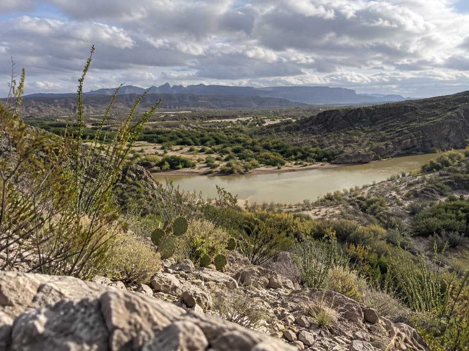
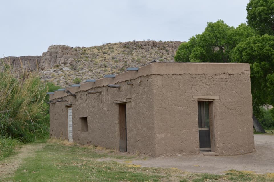
Langford Hot Springs is a natural spring contained within the stone foundation of J.O. Langford’s old bathhouse, on the Rio Grande where Tornillo Creek enters the river. It’s a rare Big Bend stop: a warm soak built into a short walk through the remains of a border resort. Make time for the whole loop if you can. The pool is the draw, but the buildings and bluff above the river give the visit its bigger story.

Take the loopThe spring is about a quarter mile from the trailhead, or half a mile round trip.

The spring is about a quarter mile from the trailhead, or half a mile round trip. A one-mile loop continues up the bluff and returns to the trailhead, with about 200 feet of elevation change and a 30-minute listed hiking time. Sand and rock lead to the pool; steps climb the bluff. The spring itself isn’t reachable by car.

Getting to the trailhead takes some planning too: the two-mile gravel road is narrow and rough. Oversize vehicles and motor homes can’t use its one-way sections. Low-clearance vehicles, trailers and RVs park farther up the road, adding about a mile round trip; high-clearance vehicles can continue to the dirt lot.

What the water is likeThe spring source is about 105°F, though river levels and sediment can change the pool’s…

The spring source is about 105°F, though river levels and sediment can change the pool’s conditions. Treat it as a soaking pool: no soap or oils, and don’t swim in the river, where current and depth can change unpredictably. It’s a popular stop, but crowding can vary; river levels and sediment can change the feel of the pool too.

The resort on the riverJ.O. Langford acquired the land in 1909 after hearing about the spring’s reputed healing waters.

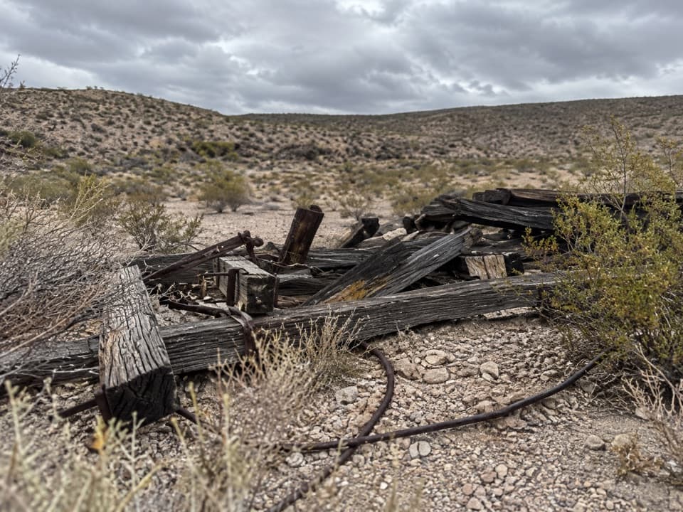
J.O. Langford acquired the land in 1909 after hearing about the spring’s reputed healing waters. He left during unrest along the Mexican border and returned in 1927, rebuilding the bathhouse and adding a store, post office and motor court. The post office drew people from nearly 100 miles on both sides of the border for mail, trade and news. The spring is also called Boquillas Hot Springs; boquillas means “little mouths,” a reference to the small arroyos draining the Sierra del Carmen into the Rio Grande. The Langfords sold the land to Texas in 1942; resort and post office operations ended in 1952.

Look beyond the poolThe Hot Springs Trail passes the old resort buildings and continues by limestone cliffs marked…

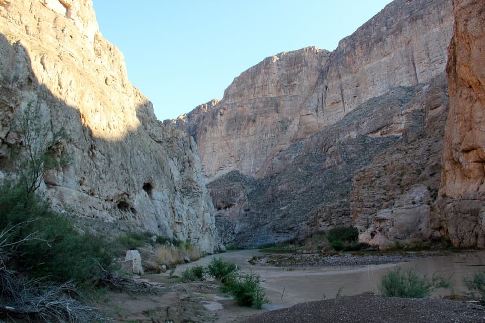
The Hot Springs Trail passes the old resort buildings and continues by limestone cliffs marked with pictographs and petroglyphs. Near the river, holes worn into the bedrock were used to grind mesquite beans and other seeds. A natural rock fissure was enlarged into an earlier bathing tub before the stone bathhouse was built over it.

The 1927 motel rooms still have traces of paintings of burros and horsemen on their walls. Look through the open doorways: it’s a surprisingly personal detail in a place that can first read as a pile of ruins.

Why the water comes up hereThe spring is tied to Basin and Range faults formed roughly 18 to 23 million years ago.

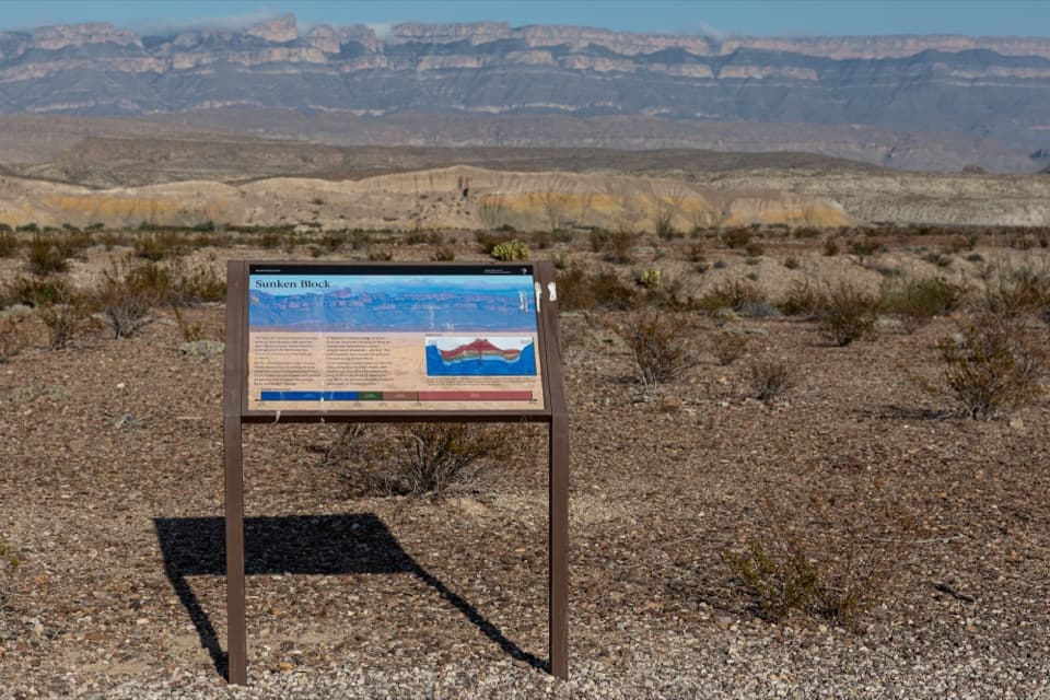
The spring is tied to Basin and Range faults formed roughly 18 to 23 million years ago. Groundwater circulates deep enough to warm, then rises back to the surface along those fractures, carrying dissolved minerals with it.

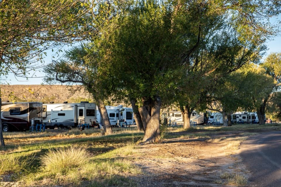
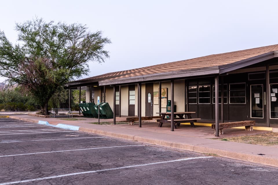
Set up the stopThere’s parking, a picnic table, a toilet and interpretive exhibits at the trailhead.

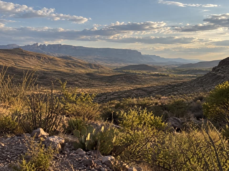
There’s parking, a picnic table, a toilet and interpretive exhibits at the trailhead. Bring swimwear and a towel if you plan to soak; wear footwear that can handle sand and rock. For a photo, frame the pool’s stone edge with the Rio Grande beyond it, then take the loop for a higher view over the river and limestone cliffs.

Wildlife

Wildlife in Big Bend

All Big Bend wildlife maps

Sighting maps show where each species has been reported across Big Bend. Wildlife moves, so no sighting is guaranteed.

Parkwolf’s Big Bend ranking

Top sights in Big Bend

All 64 places
  1. 1Santa Elena CanyonSight
  2. 2Sotol VistaSight
  3. 3Fossil Discovery ExhibitSight
  4. 4Window ViewSight
  5. 5Boquillas CanyonSight
  6. 7Mule Ears OverlookSight

Take Parkwolf to Big Bend.

The audio tour guide for the drive, plus offline maps, trails, and wildlife heatmaps for when the signal drops.

4.7 from 8,600+ ratings

Download Parkwolf on the App StoreGet Parkwolf on Google Play