
Place · 0 mi away
Moderate
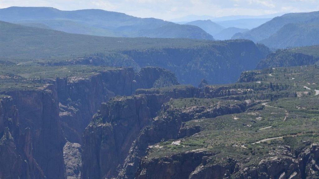
On the park’s quieter North Rim, North Vista dishes up exactly what you came to the Black Canyon for: big, sheer-walled canyon views without the South Rim crowds. It starts by the North Rim Ranger Station and follows the rim through open shrublands to a marquee overlook at Exclamation Point, with the option to continue up to Green Mountain for all‑around panoramas. Expect an unshaded, well‑defined singletrack that feels wild but stays friendly to most day hikers.
You’ve got two clean turnarounds. To Exclamation Point, it’s about 3 miles round trip—an easy‑to‑moderate out‑and‑back with minimal elevation change. If you’ve got more gas, continue to Green Mountain for roughly 7 miles round trip total, with about 800–900 feet of cumulative gain. The full outing remains a straightforward out‑and‑back, not a loop.
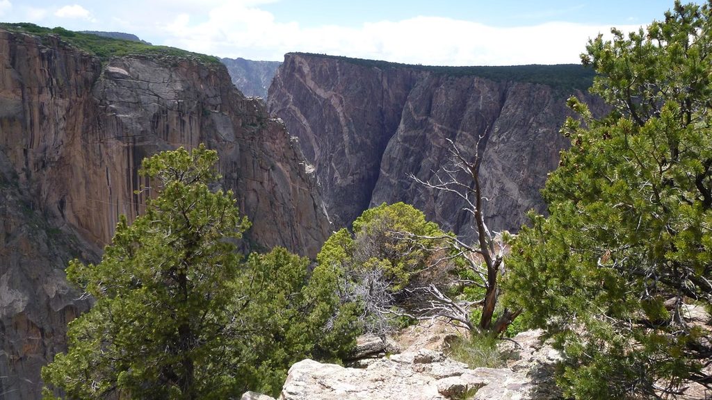
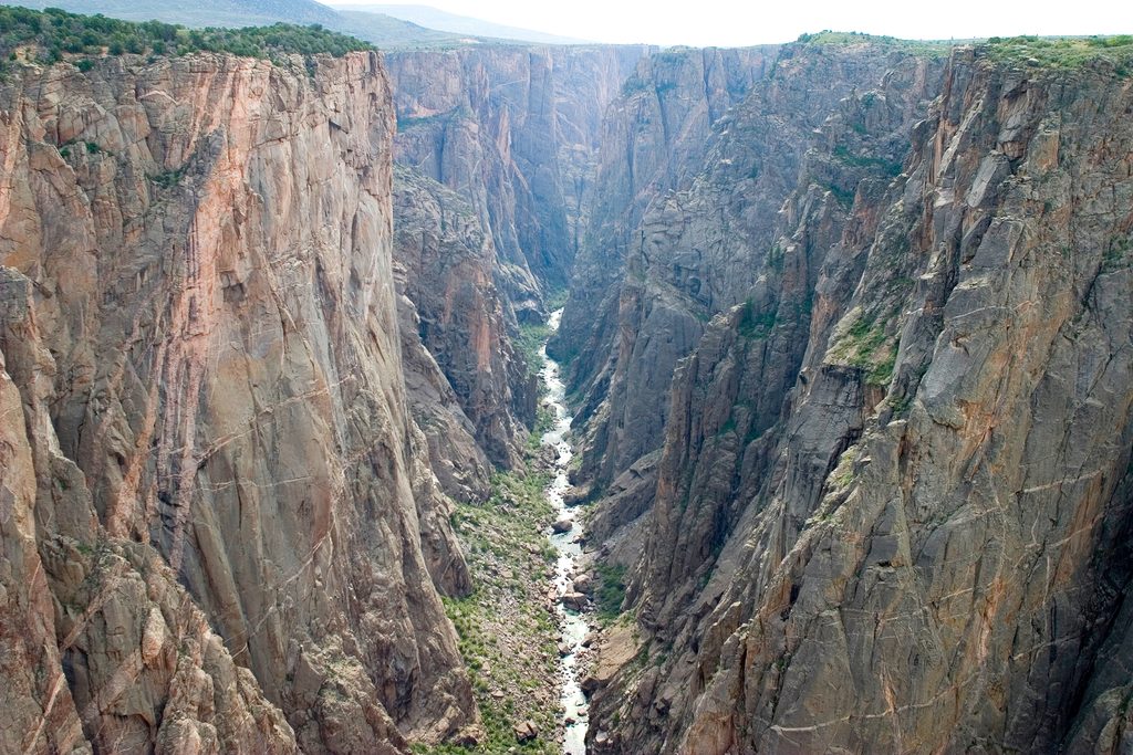
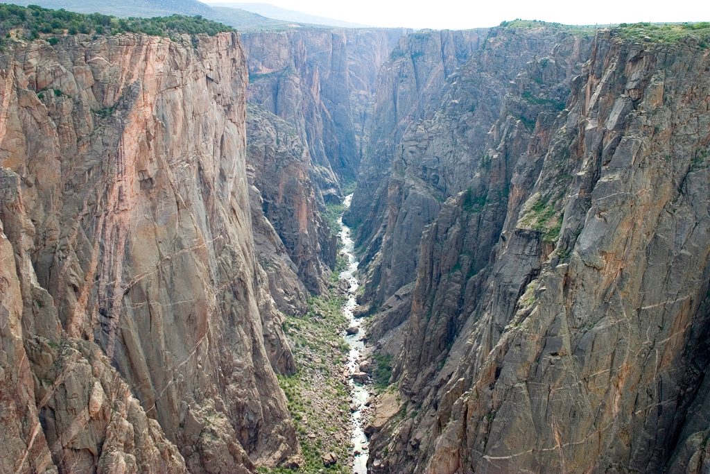
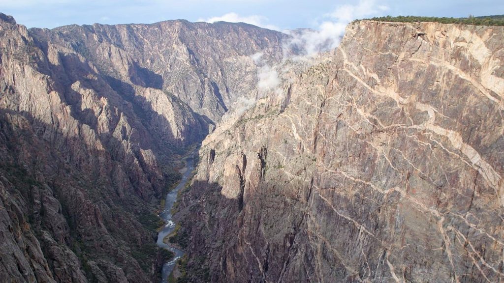
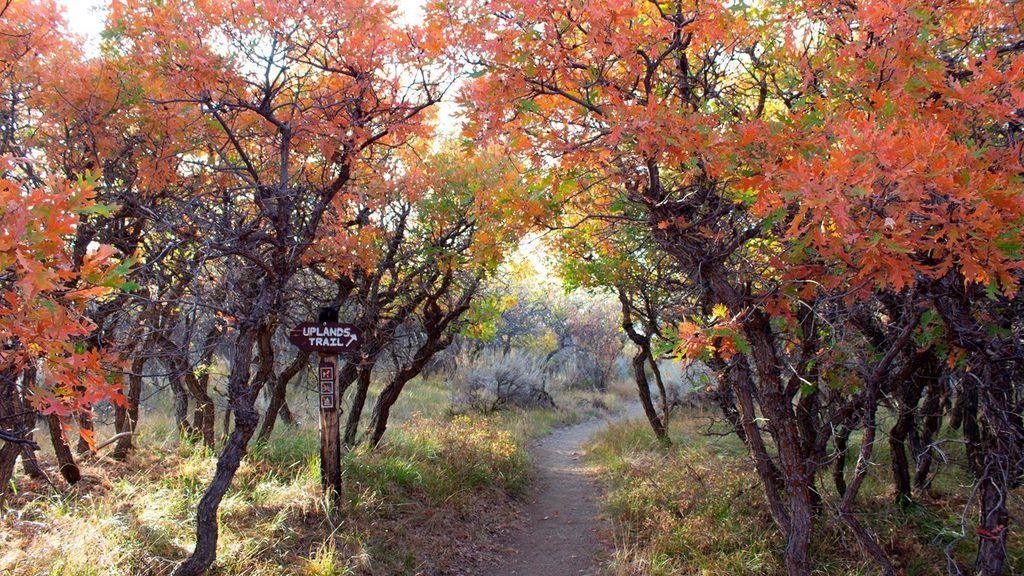
The trail meanders across sagebrush flats, Gambel oak, and pinyon pine benches with intermittent rim peeks before the big reveal at Exclamation Point: a dramatic, secluded window down some 2,000 feet to the Gunnison River slicing through ancient gneiss and schist shot through with lighter granite intrusions. Pushing on to Green Mountain trades the head‑on canyon perspective for sweeping, big‑picture views of the Black Canyon and surrounding ranges.
This is a lightly used trail by national park standards, especially beyond Exclamation Point—solitude comes easy once you leave the overlook behind. The path is signed and obvious. Shade is scarce, so the sun is your main adversary, not the navigation.
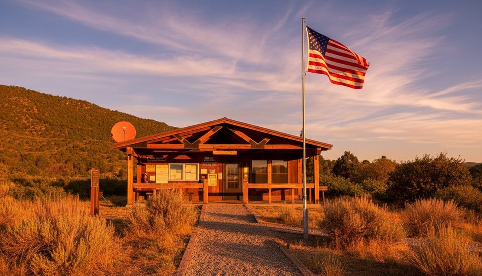
Park at the North Rim Ranger Station; the trail begins just to the left of the building. Facilities are minimal—expect pit toilets at the trailhead and no water. Reaching the North Rim involves a well‑maintained gravel road from the town of Crawford; plan extra drive time and don’t count on cell service. You’ll step into designated wilderness on this hike, but no wilderness permit is required for North Vista.
Spring through fall is prime. Summer heat can be real on this exposed rim, so start early or go late to keep temps and sun exposure in check. Weekdays and the Green Mountain extension both dial down the people factor even further.
This rim country is good habitat for black bears—be bear aware and manage food and scented items. With so little shade, bring more water than you think you’ll need, plus sun protection. The overlooks are dramatic; enjoy the views from a safe distance.
Park at the North Rim Ranger Station; the signed trail starts just to the left of the building. Access is via a well-maintained gravel road from Crawford; pit toilets available, no water.
Exposed, sun-baked rim trail with little shade; carry ample water and sun protection. Bears are present—be bear aware. Remote North Rim access, limited or no cell service, and no water at the trailhead.
Place · 0 mi away
Place · 0.3 mi away
Place · 0.6 mi away
Place · 0.7 mi away
Easy · 0.3 mi away
Easy · 1.1 mi away
Easy · 2.4 mi away
Challenging · 2.4 mi away

Parkwolf Tour Guide
