Parking
Start at the Cedar Point Nature Trail parking area off South Rim Drive.
#4 of 13 trails in Black Canyon of the Gunnison
Black Canyon of the Gunnison National Park, CO
Plant signs on the way to two canyon overlooks.
Overview
Map & elevation
Plan your hike

The highest, rockiest slopes around here are a summer buffet for grizzly bears.
Black Canyon of the Gunnison Tour Guide
Parkwolf is a GPS audio tour guide for Black Canyon of the Gunnison National Park. As you drive, it chimes in with what’s ahead: hidden gems, upcoming stops, history, geology, and wildlife, right through your car’s speakers.
Recorded for this trailhead
Cedar Point and the Plant Trail“Cedar Point is coming up, with a short nature trail to two overlooks facing Painted Wall.”
Plays as you drive up to this trailhead in the Parkwolf Black Canyon of the Gunnison Tour Guide.
More stories near here in the app
“Fantastic app with many points of information… It’s great to just turn on while you’re driving and it gives you an audio tour of the national Park. We love it!!!!”


Trail guide
Cedar Point Nature Trail is a short out-and-back from a parking area off South Rim Drive to two overlooks above the Gunnison River. Plan for about 0.4 miles round trip and 20 to 30 minutes with time to read the plant signs. It is an easy way to see Painted Wall without committing to a longer rim hike; the path is unpaved and moderately sloped.
Plant-identification guideposts line the ground-surface path. The two overlooks sit at its end, so take the same route back to the parking area. There is no separate activity fee or reservation, though the park entrance fee may apply. Leashed dogs are allowed; the trail is not wheelchair accessible.
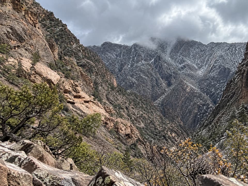
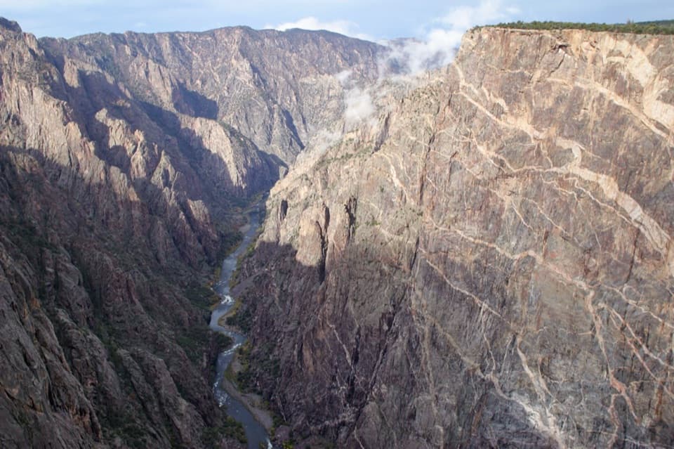
The overlooks face the Gunnison River below the canyon walls, with Painted Wall in view. For a photo, keep the river near the bottom of the frame and include the pale bands on the cliff; together they show the canyon's scale.
Painted Wall is Colorado's tallest cliff, about 2,250 feet high. Its pale stripes are pegmatite veins cutting through much older metamorphic rock. The canyon exposes gneiss and schist formed roughly 1.7 billion years ago, while slow-cooling pegmatite produced crystals that can reach six feet long.
Wildlife
 50 sightingsBighorn SheepMost seen around 7 AMSighting map
 68 sightingsMule DeerMost seen around 7 AMSighting map
 11 sightingsRed-tailed HawkMost seen around 10 AMSighting map
 10 sightingsCooper's HawkMost seen around 7 AMSighting map
 66 sightingsCollared LizardMost seen around 11 AMSighting map
 164 sightingsFence LizardMost seen around 10 AMSighting map
Sighting maps show where each species has been reported across Black Canyon of the Gunnison. Wildlife moves, so no sighting is guaranteed.
Keep exploring
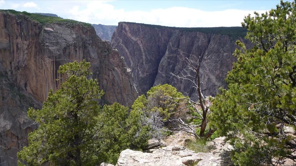 ModerateChasm View Nature Trail0.5 mi · 30 min · 0.9 mi awayA short woodland loop reaches two very different canyon views.
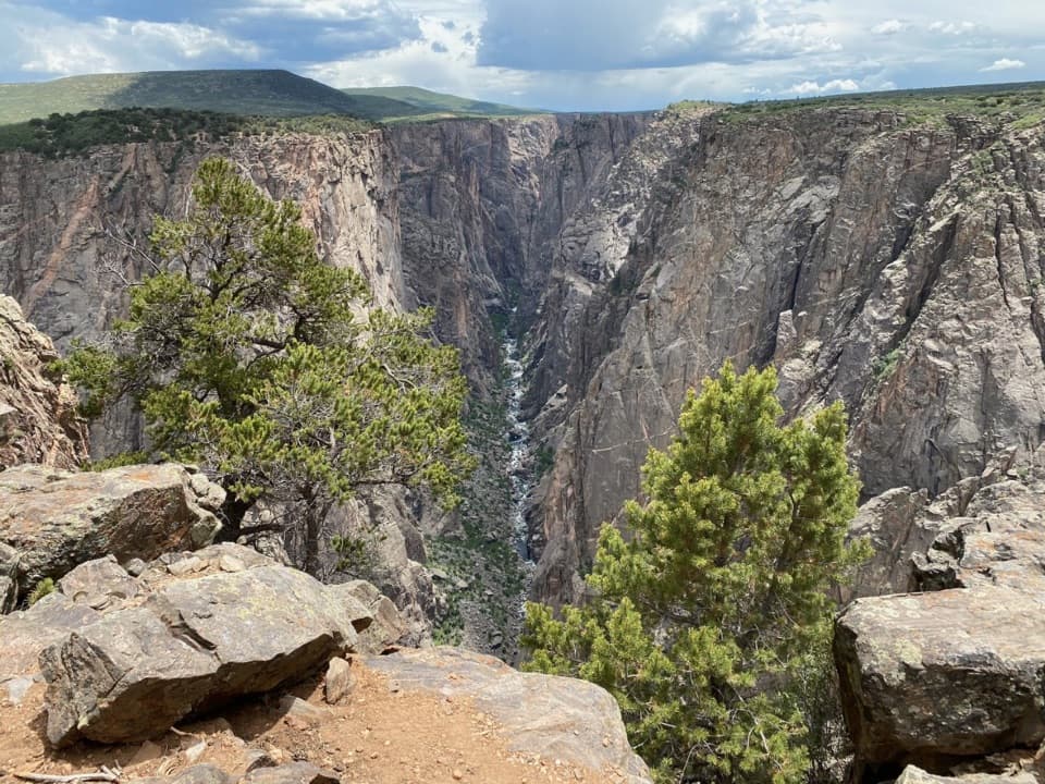 ModerateNorth Vista Trail (to Exclamation Point)2.9 mi · 1.8 hr · 1.1 mi awaySage and juniper lead to an unrailed view of the river bend.
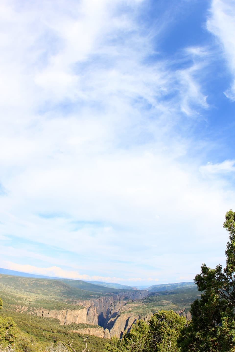 ChallengingNorth Vista Trail to Green Mountain6.4 mi · 3.5 hr · 1.1 mi awayA long climb earns a canyon panorama and views of four ranges.
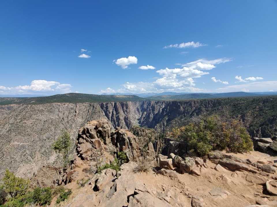 ModerateWarner Point Trail1.6 mi · 1 hr · 1.5 mi awayThe river is a long way below this short rim walk.
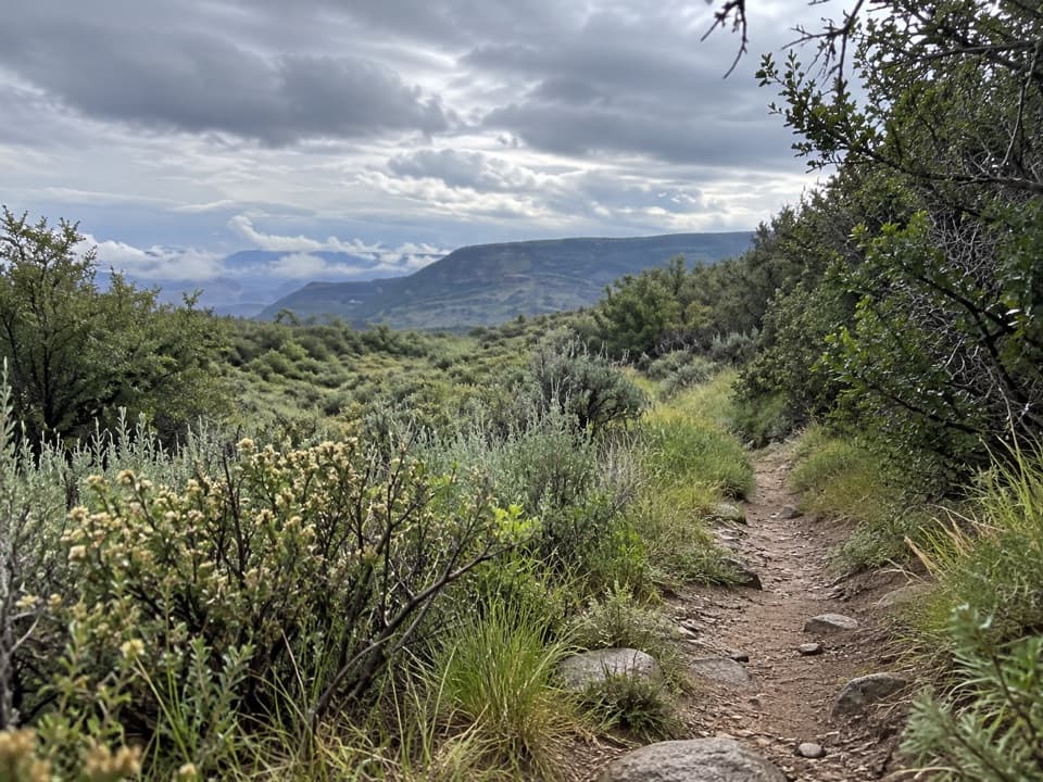 ModerateUplands Trail0.9 mi · 36 min · 2.3 mi awayA short upland connector, not a canyon-rim walk.
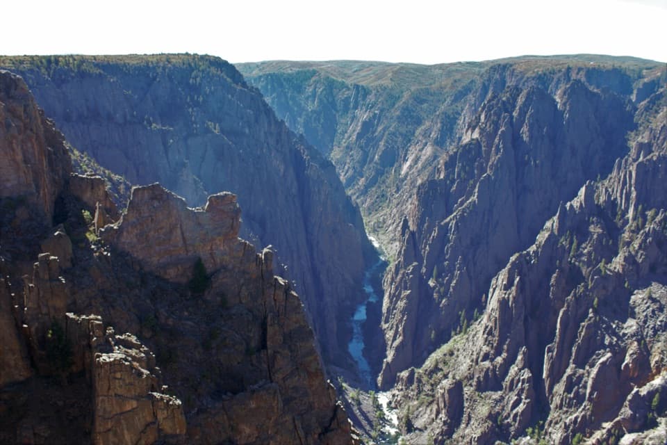 ModerateDeadhorse Trail5.2 mi · 3 hr · 2.5 mi awayAn old service road ends above Deadhorse Gulch.ModerateDeadhorse Trail with Loop6.6 mi · 4 hr · 2.5 mi awayA North Rim hike with a stock pond and two canyon overlooks.
 ModerateRim Rock Trail1 mi · 45 min · 2.8 mi awayOne mile on the rim links the visitor center and campground.Sight · 0.1 mi awayCedar Point OverlookTwo rim stops frame the Gunnison River and Painted Wall.
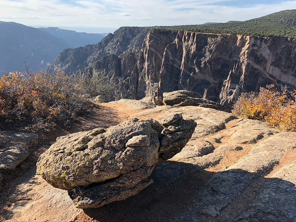 Sight · 0.3 mi awayDragon Point OverlookA west-facing overlook that makes sunset a smart time to stop.
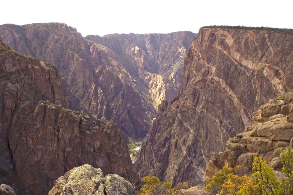 Sight · 0.3 mi awayPainted Wall OverlookA 2,250-foot cliff marked by pale pegmatite veins.
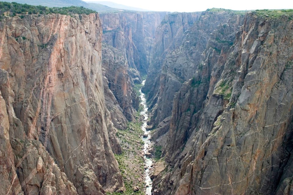 Sight · 0.5 mi awayChasm View Overlook (South Rim)A short walk to the Gunnison, 1,820 feet below.
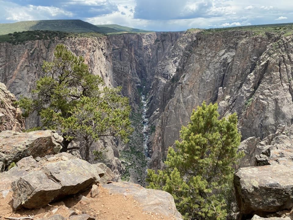 Sight · 0.7 mi awayExclamation PointA 1.6-mile hike each way to a close canyon view.
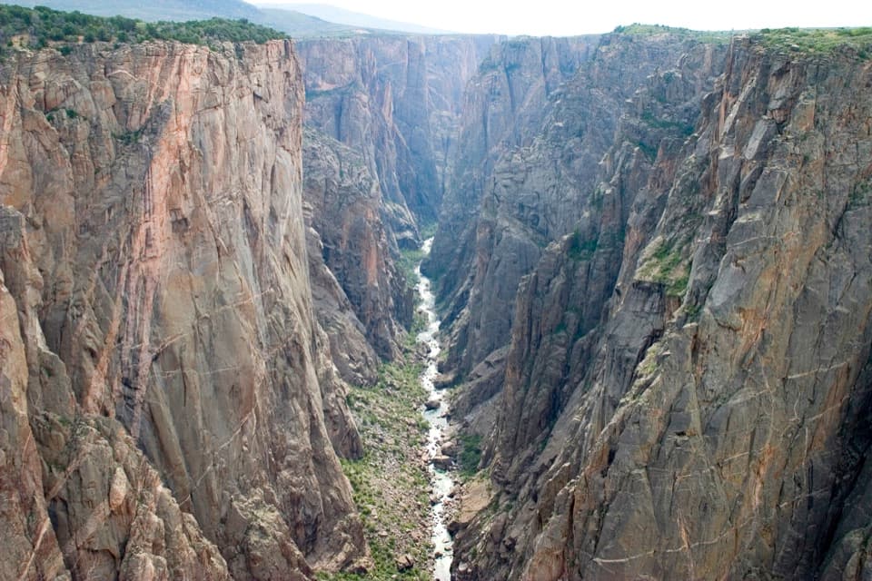 Sight · 0.7 mi awayNorth Chasm ViewThe canyon narrows to 40 feet at the river below.
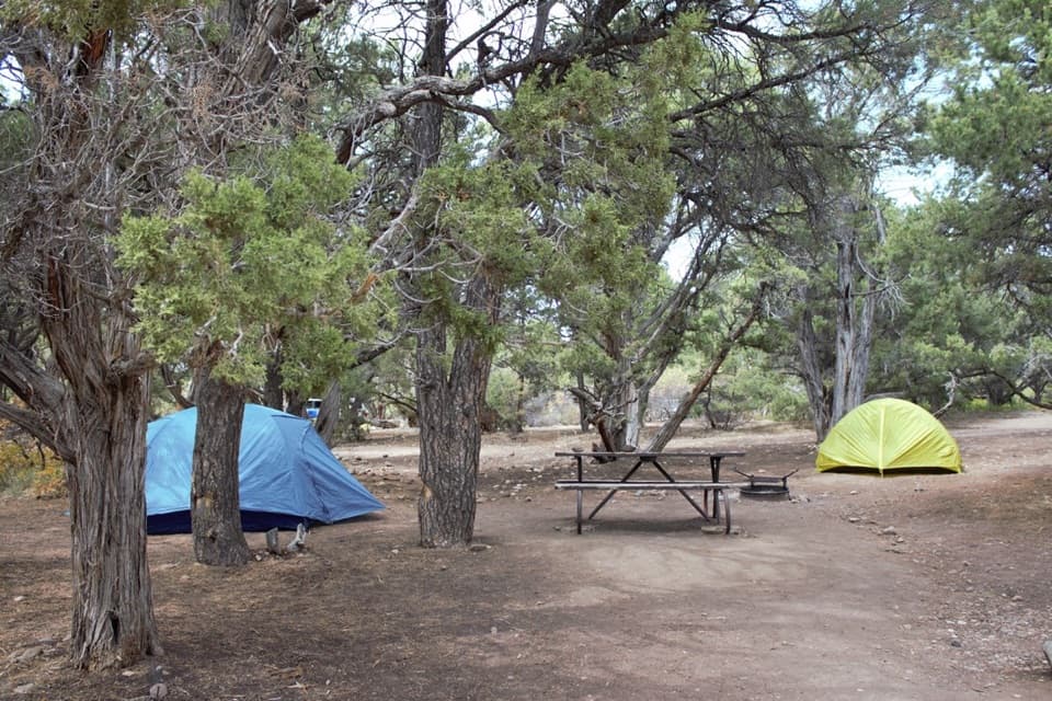 Campground · 0.8 mi awayNorth Rim CampgroundA remote North Rim campground beside the short Chasm View loop.
 Sight · 0.9 mi awayDevil's Lookout OverlookA short unpaved walk opens onto the Gunnison River gorge.
Parkwolf’s Black Canyon of the Gunnison ranking

The audio tour guide for the drive, plus offline maps, trails, and wildlife heatmaps for when the signal drops.