
Place · 0 mi away
Challenging
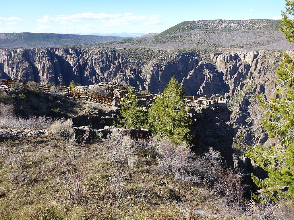
This is the park’s most popular inner-canyon descent from the South Rim, but don’t confuse “popular” with easy. The Gunnison Route is an unmaintained, permit-required route that drops roughly 1,800 feet from the rim to the Gunnison River and back in about 2.7 miles round trip. It starts near the South Rim Visitor Center via the Oak Flat Loop, then commits hard—expect a raw, hands-on descent and an even tougher climb back out.
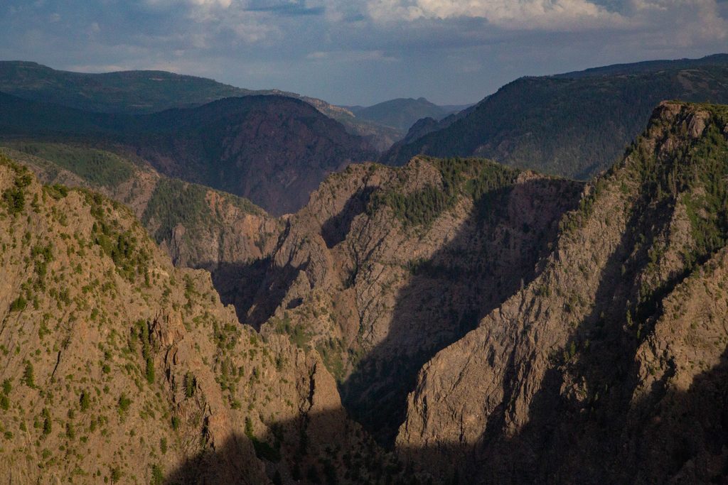
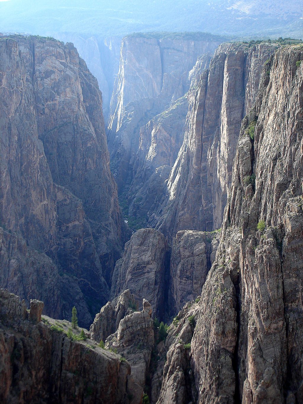
From the river, you’ll finally grasp the canyon’s true scale: sheer, near-vertical walls towering above you and a cold, fast Gunnison River cutting through ancient rock. Keep an eye out for light-colored pegmatite veins streaking the dark walls—one of the canyon’s signatures. The route begins in a short stretch of aspens near Oak Flat, then quickly trades shade for stone and sun. The “Black” in the name is no joke—narrow sections of the inner canyon see very limited direct sunlight each day.
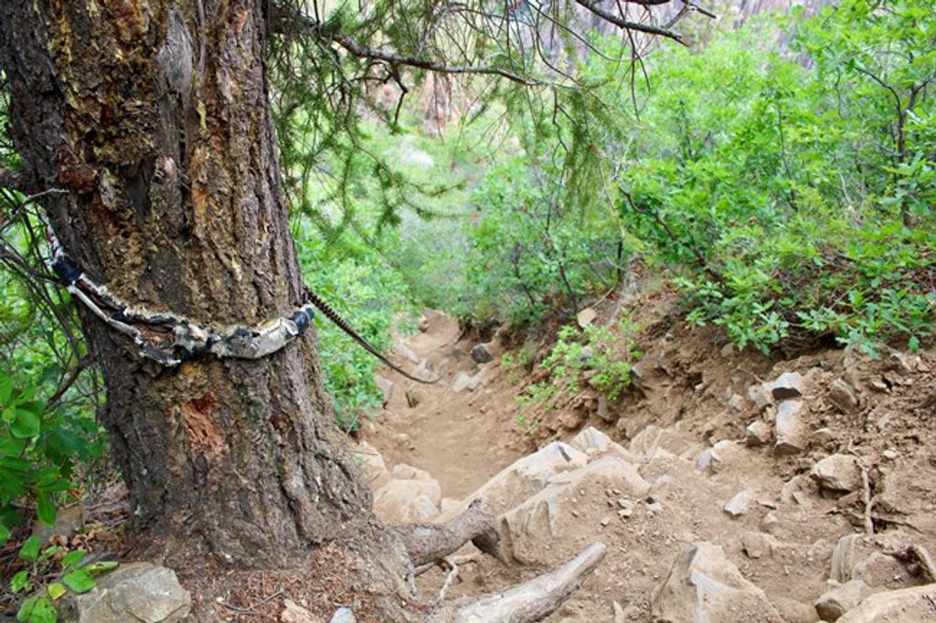
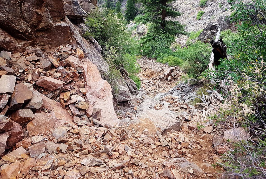
You’ll walk a brief half-mile on Oak Flat, then peel off at a wilderness sign where the route plunges steeply. The terrain is loose dirt, gravel, and scree with sections of scrambling and frequent sliding. There’s a short chain-assisted crux—bring gloves—followed by more steep, loose traverses to the river. This is not a maintained trail; the line can be faint in places, and wayfinding savvy helps. The climb out is the crux for most hikers: hot, exposed, relentlessly steep, and leg-sapping.
Late spring through early fall is the sweet spot once snow and ice are gone. Summer heat bakes this route and shade is scarce, so start early. Avoid the route after rain or snow—the already-loose surface turns treacherous when wet. Plan conservatively; conditions (heat, moisture, lingering ice) can dramatically change the difficulty.
Permits are mandatory and limited daily; secure one as early as you can. Wear real hiking boots with aggressive traction and bring gloves for the chain section and for general hand protection on sharp rock. Trekking poles help in less-scrambly stretches but can be awkward during the steepest moves. Carry plenty of water; there’s no reliable water except the river at the bottom, which must be treated if you use it. Load an offline GPS track for confidence—route finding isn’t hard the whole way, but it’s not foolproof either.
If you’re an experienced hiker who enjoys steep, loose, unmaintained routes and the feeling of dropping into a wild canyon, this is a memorable, worthwhile challenge. If you’re looking for a conventional trail or you’re uncomfortable with exposure, sliding scree, and self-reliance, stick to the South Rim overlooks or consider the longer Warner or the scree-heavy Tomichi for comparison. The Gunnison Route remains the shortest, most direct inner-canyon taste from the South Rim—with big rewards and equally big effort.
Park at the South Rim Visitor Center; start via the Oak Flat Loop and follow signs to the wilderness route split.
Unmaintained inner-canyon route with loose scree, a chain-assisted section, exposure, and tricky footing. Treacherous when wet or icy. Minimal shade; start early and carry ample water. Route-finding required; be self-reliant.
Place · 0 mi away
Place · 0 mi away
Place · 0.3 mi away
Place · 0.7 mi away
Moderate · 0 mi away
Easy · 0 mi away
Easy · 0.2 mi away
Challenging · 0.3 mi away

Parkwolf Tour Guide
