Hole in the Wall in Booderee National Park

#7 of 24 sights in Booderee

Beach · Booderee National Park

Hole in the Wall

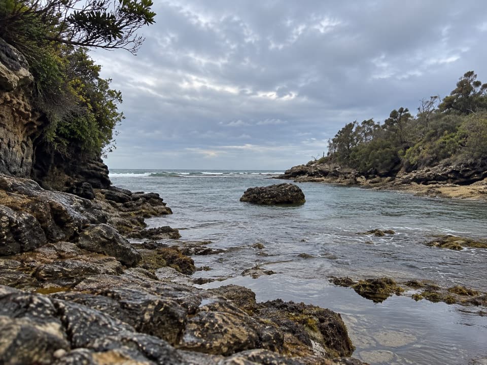
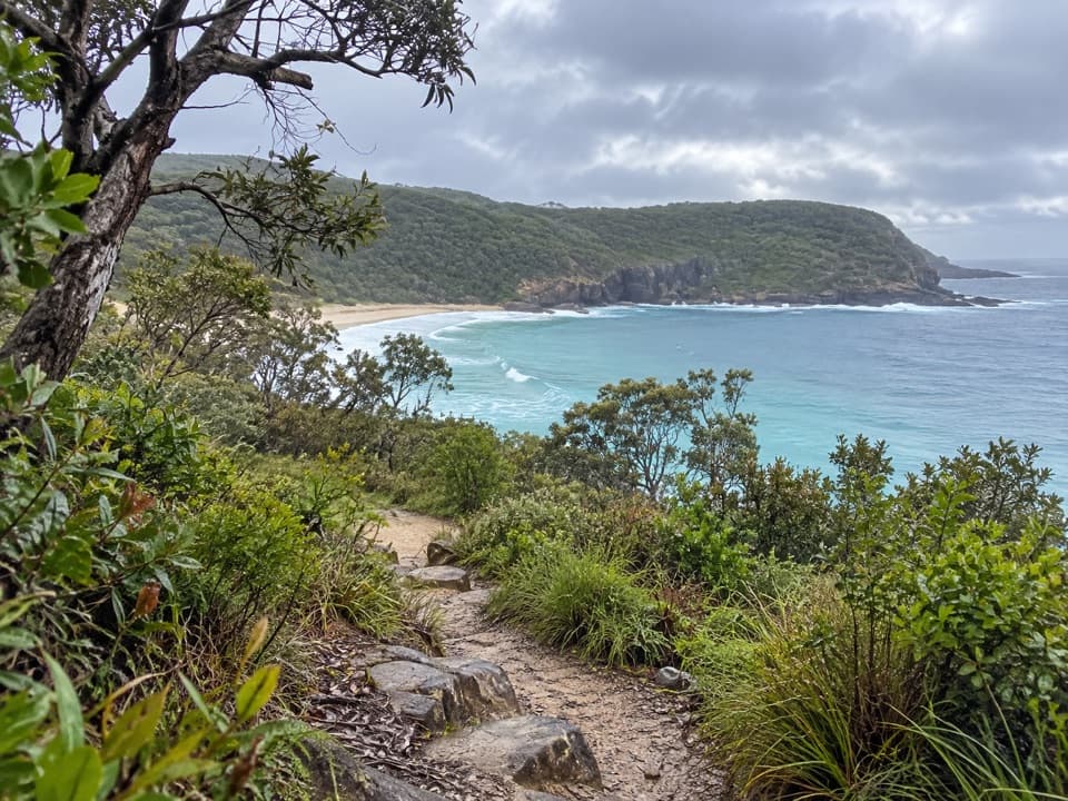
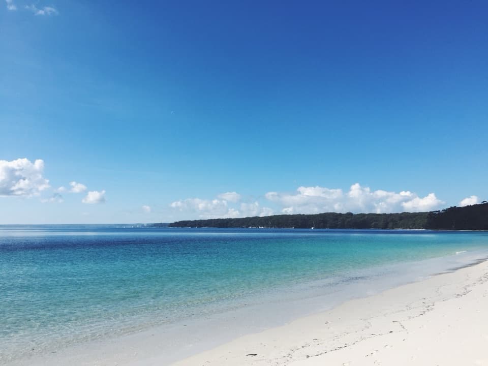
A crescent beach ends at a sandstone opening worn into a U.

Type
Beach
Nearest trail
0.5 km
Audio stories
8 nearby
  • Parking

Hear the audio tour

Hole in the Wall: The Sandstone Notch

Overview

About Hole in the Wall

Why stop

  • Snorkelling gives you a reason to stay beyond the rock formation.

Map

Where it is

Loading the Booderee map
Full map
BeachHole in the Wall-35.13289, 150.74811
Keep this map with you offline in the Parkwolf app

Plan your stop

Before you go

3 active Booderee alerts

  • CautionH5 bird flu detected in BoodereeAvoid contact with sick or dead wildlife at Booderee. H5 bird flu was detected in a greater crested tern found in the park; the park remains open.Official details
  • InfoEntry station closed—arrange your pass before arrivalBooderee’s entry station is currently closed; arrange your park pass before entering.Official details

See all 3 alerts
A park ranger sits on a dash-mounted phone, talking, as Parkwolf’s Tour Guide plays “Army Cutworm Moths: A Grizzly Bear Buffet” on Grand Loop Road below Dunraven Pass in Yellowstone
Parkwolf Tour GuideThe highest, rockiest slopes around here are a summer buffet for grizzly bears.

Booderee Tour Guide

Your drive to Hole in the Wall, narrated.

Parkwolf is a GPS audio tour guide for Booderee National Park. As you drive, it chimes in with what’s ahead: hidden gems, upcoming stops, history, geology, and wildlife, right through your car’s speakers.

Recorded for this place

Hole in the Wall: The Sandstone Notch
0:00 / 0:29
“Hole in the Wall's beach access is coming up. The sandstone opening has collapsed into a broad U-shaped notch at the far end of a crescent beach.”

Plays as you drive up to Hole in the Wall in the Parkwolf Booderee Tour Guide.

More stories near here in the app

  • Murrays Beach and Bowen Island
  • Scottish Rocks: Pools and Snorkelling
  • Cape St George Lighthouse Ruins
  • Green Patch Beach and Picnic Area
  • 23 audio storiesacross Booderee’s roads, triggered by GPS as you drive
  • Wildlife heatmapsfor Grey Kangaroo, Echidna, Red-necked Wallaby, and 13 more
  • Works offlinemaps, 14 trails, 33 places, and audio download before you lose signal
  • CarPlay readysimple controls built for the drive
★★★★★
“Fantastic app with many points of information… It’s great to just turn on while you’re driving and it gives you an audio tour of the national Park. We love it!!!!”
JMJamesApp Store review
Download Parkwolf on the App StoreGet Parkwolf on Google Play

4.7 from 8,600+ ratings

Guide

More about Hole in the Wall

A crescent beach and sandstone notchHole in the Wall is a coastal sandstone formation at the northeastern end of a crescent beach…

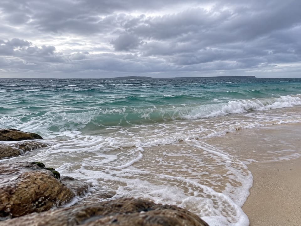
Hole in the Wall is a coastal sandstone formation at the northeastern end of a crescent beach in Booderee National Park. The opening has collapsed into a U shape, so expect a broad notch rather than a complete hole through the wall. The rock and beach make one stop: come for the unusual formation and time on the shore.

Pick your approachThe Hole in the Wall car park is about 400 m from the beach; the formation sits farther along…

The Hole in the Wall car park is about 400 m from the beach; the formation sits farther along the shoreline at its northeastern end. From Murrays Beach car park, the shoreline route is 1.1 km one way, about 30 minutes, and crosses a rock platform. It is listed as a low-tide walk, so check the tide before taking that longer approach and leave a safe margin for the return. A vehicle park pass is required for Booderee. None of the park's beaches are supervised by lifeguards.

Snorkel the sheltered shoreThe crescent beach is protected from southerly winds, and snorkelling is a draw around the area.

The crescent beach is protected from southerly winds, and snorkelling is a draw around the area. That shelter is directional, not a promise of calm water; check conditions before getting in. The crescent sand is part of the appeal even if you only come to look at the rock.

The sandstone's wider storyThe visible wall is part of Booderee's Permian marine geology.

The visible wall is part of Booderee's Permian marine geology. The peninsula's bedrock includes sandstone, siltstone and conglomerate at the southern end of the Sydney Basin rocks, with dunes and sandy soils covering much of the land above. That is the regional setting; a site-specific account of how this opening changed shape was not found.

Frame the openingThe U-shaped rock is the detail to keep in your photo, with the curving beach and waterline…

The U-shaped rock is the detail to keep in your photo, with the curving beach and waterline around it for context. Early morning is a good time to photograph the formation. If you came from Murrays over the rock platform, make the tide and your return time the priority over waiting for a particular light.

Wildlife

Wildlife in Booderee

All Booderee wildlife maps

Sighting maps show where each species has been reported across Booderee. Wildlife moves, so no sighting is guaranteed.

Keep exploring

Near Hole in the Wall

See it all on the map

Trails nearby

More stops nearby

Parkwolf’s Booderee ranking

Top sights in Booderee

All 33 places
  1. 1Murrays BeachBeach
  2. 2Green Patch BeachBeach
  3. 3Cape St George LighthouseSight
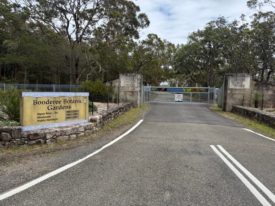
  4. 4Booderee Botanic GardensSight
  5. 5Cave BeachBeach
  6. 6Governors Head LookoutSight

Take Parkwolf to Booderee.

The audio tour guide for the drive, plus offline maps, trails, and wildlife heatmaps for when the signal drops.

4.7 from 8,600+ ratings

Download Parkwolf on the App StoreGet Parkwolf on Google Play