
Place · 0.3 mi away
Easy
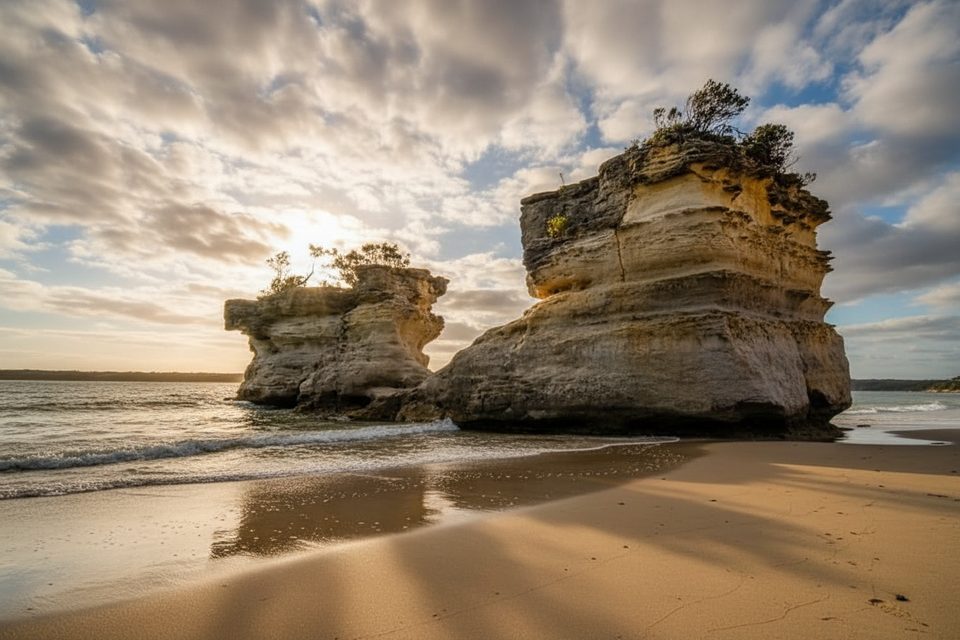
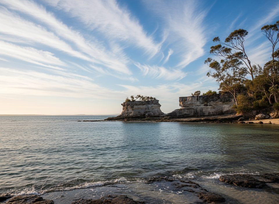
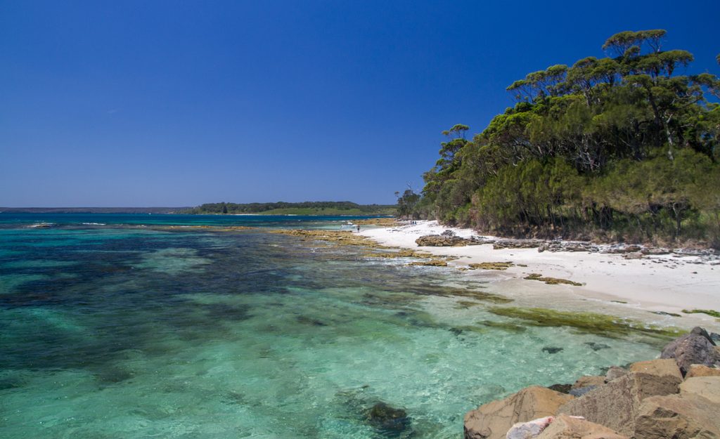
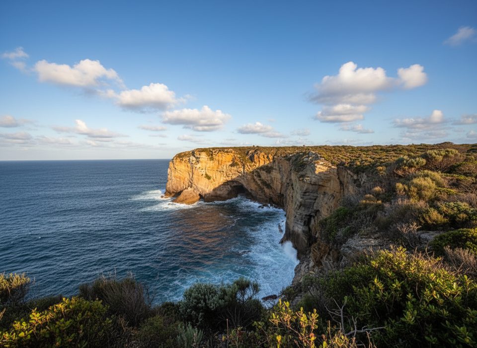
A short, easy walk delivers you to Hole in the Wall Beach and its distinctive sandstone headland. The original “hole” in the rock collapsed years ago, leaving a dramatic U‑shaped notch that’s still a great photo subject. Expect white sand, calm bay water, and a peaceful vibe rather than a big, rugged hike.
From the small roadside car park, it’s about 400 m (0.25 miles) on a flat, well‑graded gravel path to the beach. Plan roughly 0.5 miles total out‑and‑back to the beach itself. Reaching the rock formation requires a further stroll along sand and some rock—distance varies with the tide, and footing can be soft or slippery near the headland.
This is an easy, family‑friendly walk on mostly level ground. Flip‑flops are doable, but closed‑toe shoes are smarter given sand, rocks, and occasional seaweed. The short bush path is smooth; the beach approach to the formation can feel moderate at higher tides.
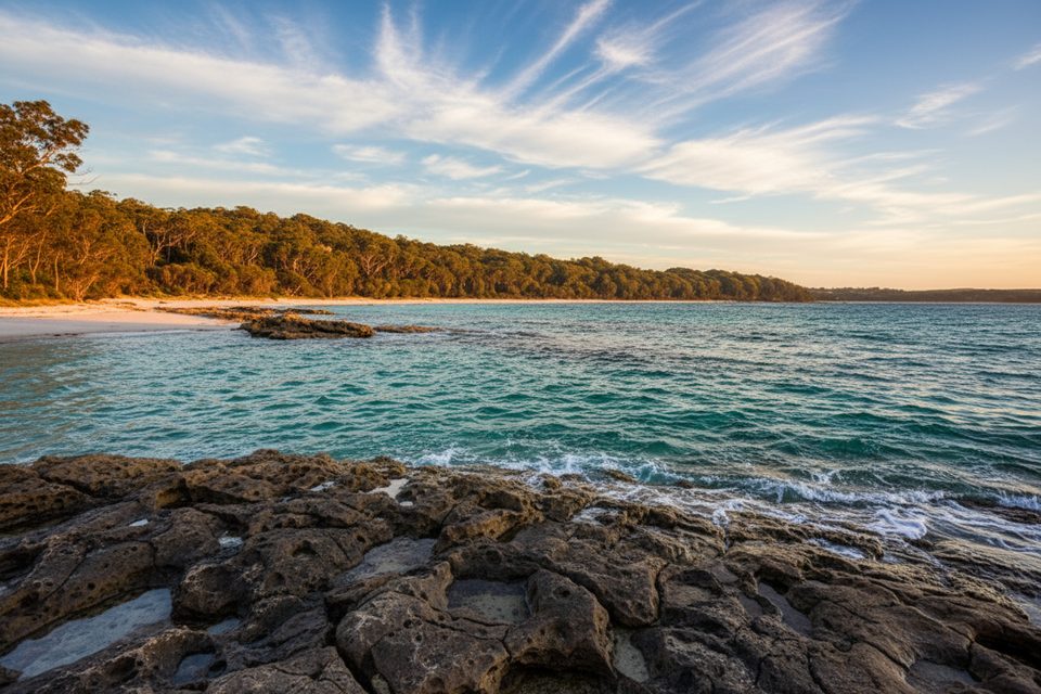
Low tide is best for walking right up to the formation and exploring the shoreline. Sunrise and late‑afternoon light make the U‑shaped notch especially photogenic. Sunset looks fantastic, but water can push higher toward evening—plan your turnaround so you’re not wading back.
There are no facilities at the beach or car park. Calm conditions often suit a swim or casual snorkel, and nearby Scottish Rocks is a popular add‑on. Keep in mind there are no lifeguards. Look, don’t touch—this intertidal area is rich in marine life.
You’ll need a paid Booderee National Park vehicle pass; walkers and cyclists can enter free. There’s no public transport within the park, so driving is the practical option. The car park is small and can fill at peak times.
Keep an eye out for intertidal life and, if you snorkel nearby, you may spot weedy sea dragons, sea stars, stingrays, and sea turtles. The headland is sandstone—the collapsed “hole” now reads as a clean U‑shaped cleft, great for minimalist compositions.
If you want a longer outing, link this stop with Scottish Rocks, Green Patch, or Murrays Beach. For a broader sampler of the park’s coast and stories, consider the Munyunga waraga dhugan loop (moderate, 5.4 km) on a separate outing.
Small unpaved roadside car park signed "Hole in the Wall" off Jervis Bay Road inside Booderee NP; signed trail starts on the left of the car park.
Plan around tides—water rises toward evening and can block the beach route; rocks and seaweed near the headland are slippery; no lifeguards.
Place · 0.3 mi away
Place · 0.5 mi away
Place · 0.8 mi away
Place · 1 mi away
Easy · 0.5 mi away
Moderate · 0.8 mi away
Moderate · 0.8 mi away
Easy · 0.8 mi away

Parkwolf Tour Guide
