
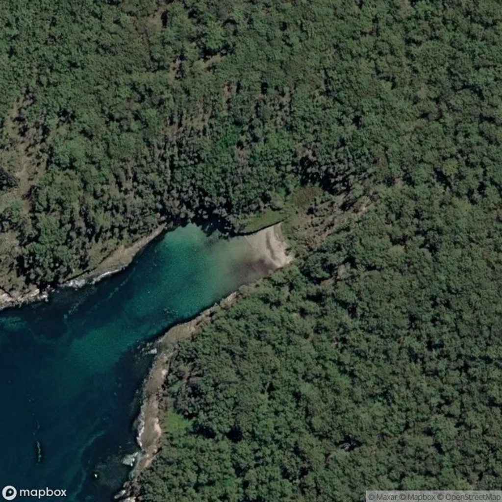
Place · 0.5 mi away
Easy
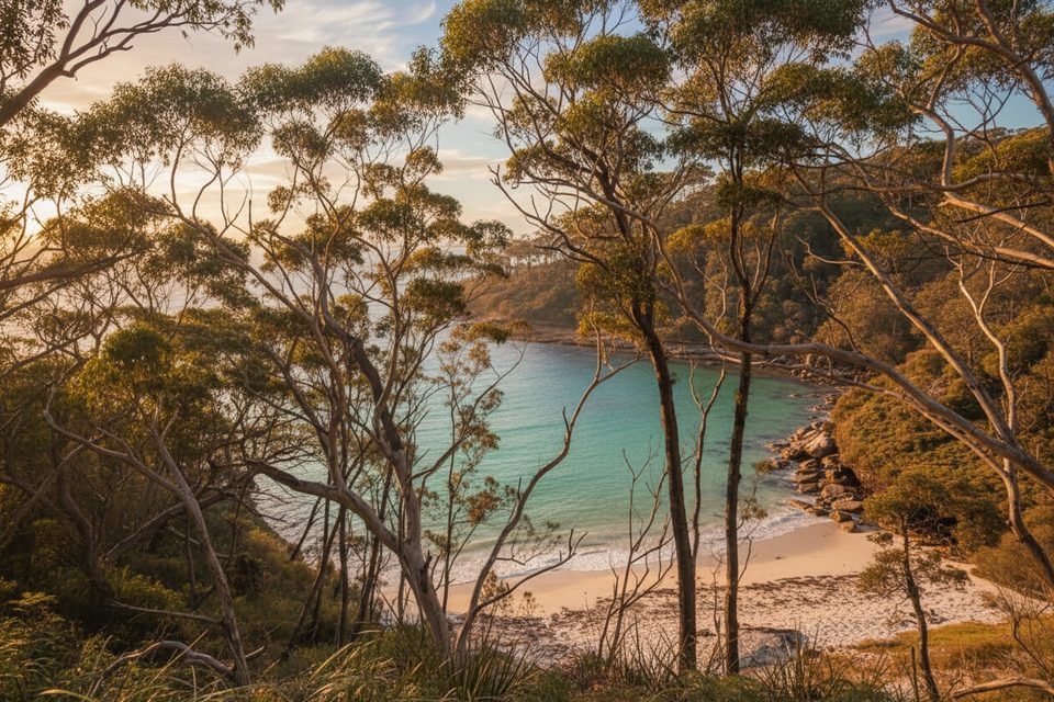
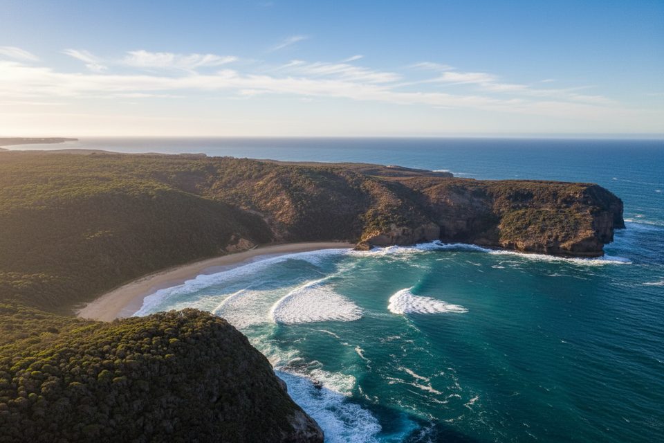
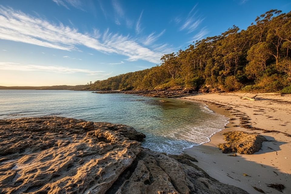
This short coastal walk hugs Booderee’s wilder, open‑ocean side rather than the sheltered Jervis Bay beaches. Expect long white sand, surf thump and big‑sky horizons. The core outing is an easy, well‑signed out‑and‑back of about 2 miles (total) with roughly 80 m of gentle elevation—enough to feel like a walk, not a slog.
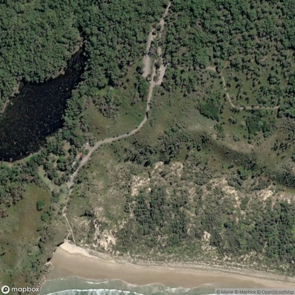
Start from the signed parking by the Summercloud Bay beach access ramp (near the Wreck Bay community). Follow the track toward the bay and continue along the formed path toward Whiting Beach. There’s a brief rock‑shelf section before Whiting; it’s straightforward when dry but can be slippery if wet. Whiting Beach access is tide‑dependent—plan for low tide if you want to reach it or poke into the tiny cove beyond—then return the same way.
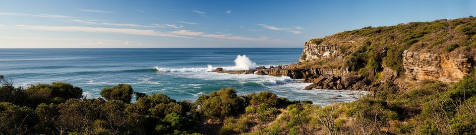
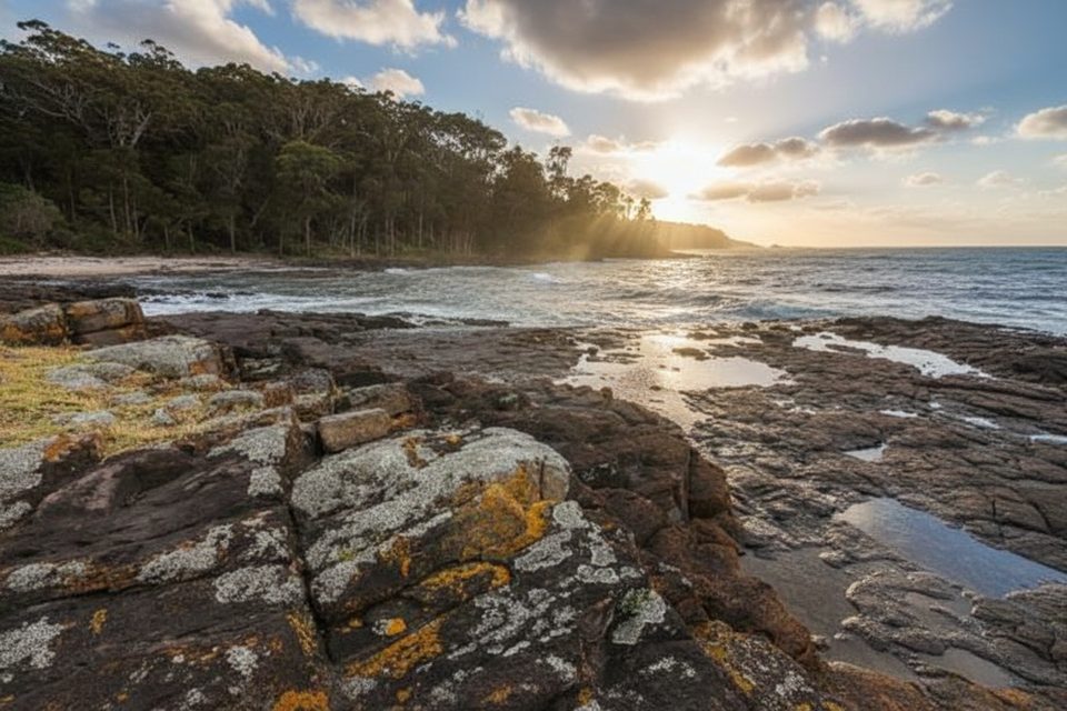
This coast mixes soft sand and striking sandstone platforms with occasional cliff‑edge vistas. Keep an eye out for white‑bellied sea‑eagles cruising the updrafts. Nearby, steep dunes behind Steamers Beach are thought to be remnants from a past mega‑tsunami event—one reason the landscape here feels so dramatic.
Because sections are sandy and exposed, this walk is most pleasant in cooler parts of the day. Time your visit around low tide if Whiting Beach is your goal. From May to October, headland viewpoints in this area can be good for whale spotting on longer extensions.
This is open coast: there are no lifeguards, rips are common and Steamers Beach is generally treated as look‑only due to undertows and sharks. Keep well back from cliff edges and rock platforms in swell. Shade is limited—carry water, sun protection and a basic map. The park is jointly managed with the Wreck Bay Aboriginal Community; respect cultural sites and any closures. Fishing is regulated (licence required, size/bag limits apply, invertebrates on rock platforms are protected, and spearfishing is prohibited). Camping is only at Green Patch, Bristol Point and Cave Beach campgrounds with advance booking (peak‑summer places are allocated by ballot). Pets are not permitted in the park.
Use the signed parking near the Summercloud Bay beach access ramp (near the Wreck Bay community) and follow the marked track.
Open‑coast surf with rips and no lifeguards; Steamers Beach is not advised for swimming. Keep clear of cliff edges and rock platforms in swell. Rock shelves can be slippery when wet; Whiting Beach access is best around low tide.
Place · 0.5 mi away
Place · 1.3 mi away
Place · 1.4 mi away
Place · 1.5 mi away
Easy · 1.5 mi away
Challenging · 1.8 mi away
Moderate · 1.8 mi away
Moderate · 1.8 mi away

Parkwolf Tour Guide
