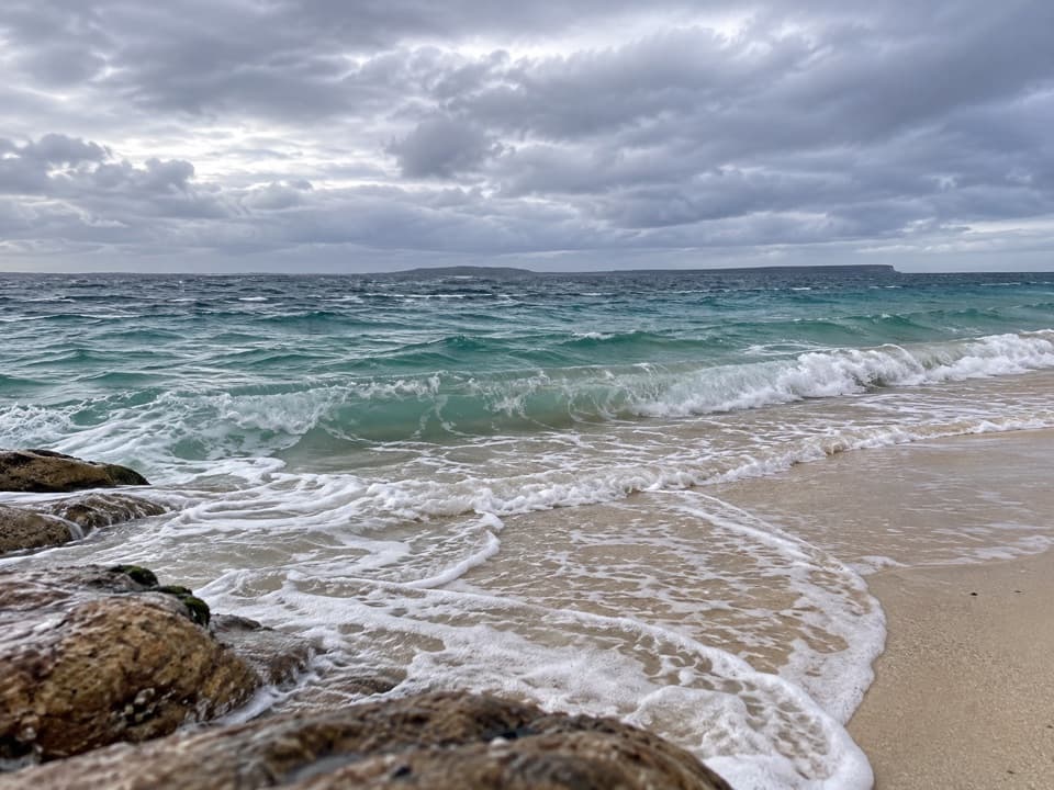
Whiting Beach in Booderee National Park

#10 of 24 sights in Booderee

Beach · Booderee National Park

Whiting Beach

A 50-metre beach with a waterfall that doesn't always run.

Type
Beach
Nearest trail
3 km
Audio stories
2 nearby

Hear the audio tour

Steamers Beach: The Walk to the Cove

Overview

About Whiting Beach

Why stop

  • A sheltered little bay for swimming and snorkelling
  • A waterfall and dense forest give the cove a distinctive setting

Heads up

  • A long walk in, with a rough rock shelf on the final approach

Map

Where it is

Loading the Booderee map
Full map
BeachWhiting Beach-35.17738, 150.69581
Keep this map with you offline in the Parkwolf app

Plan your stop

Before you go

3 active Booderee alerts

  • CautionH5 bird flu detected in BoodereeAvoid contact with sick or dead wildlife at Booderee. H5 bird flu was detected in a greater crested tern found in the park; the park remains open.Official details
  • InfoEntry station closed—arrange your pass before arrivalBooderee’s entry station is currently closed; arrange your park pass before entering.Official details

See all 3 alerts
A park ranger sits on a dash-mounted phone, talking, as Parkwolf’s Tour Guide plays “Army Cutworm Moths: A Grizzly Bear Buffet” on Grand Loop Road below Dunraven Pass in Yellowstone
Parkwolf Tour GuideThe highest, rockiest slopes around here are a summer buffet for grizzly bears.

Booderee Tour Guide

Your drive to Whiting Beach, narrated.

Parkwolf is a GPS audio tour guide for Booderee National Park. As you drive, it chimes in with what’s ahead: hidden gems, upcoming stops, history, geology, and wildlife, right through your car’s speakers.

Recorded for this place

Steamers Beach: The Walk to the Cove
0:00 / 0:24
“You're approaching the car park for Steamers Beach, an isolated shore below high cliffs and steep dunes.”

Plays as you drive up to Whiting Beach in the Parkwolf Booderee Tour Guide.

More stories near here in the app

  • Cave Beach: Surf and Shoreline Caves
  • The Eagle on the Emblem
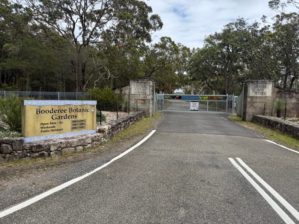
  • Booderee Botanic Gardens
  • A Spotted Return
  • 23 audio storiesacross Booderee’s roads, triggered by GPS as you drive
  • Wildlife heatmapsfor Grey Kangaroo, Echidna, Red-necked Wallaby, and 13 more
  • Works offlinemaps, 14 trails, 33 places, and audio download before you lose signal
  • CarPlay readysimple controls built for the drive
★★★★★
“Fantastic app with many points of information… It’s great to just turn on while you’re driving and it gives you an audio tour of the national Park. We love it!!!!”
JMJamesApp Store review
Download Parkwolf on the App StoreGet Parkwolf on Google Play

4.7 from 8,600+ ratings

Guide

More about Whiting Beach

A little beach with a big payoffWhiting Beach is a low, south-facing 50-metre strip of sand in a quiet bay, tucked beneath…

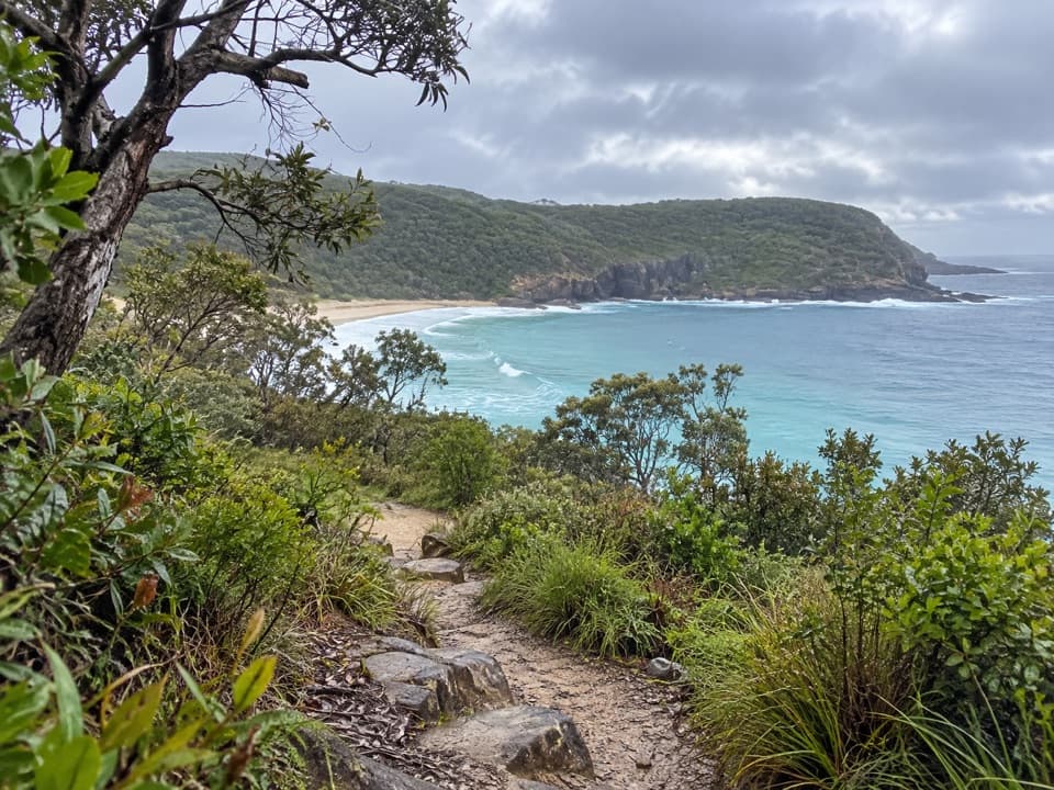
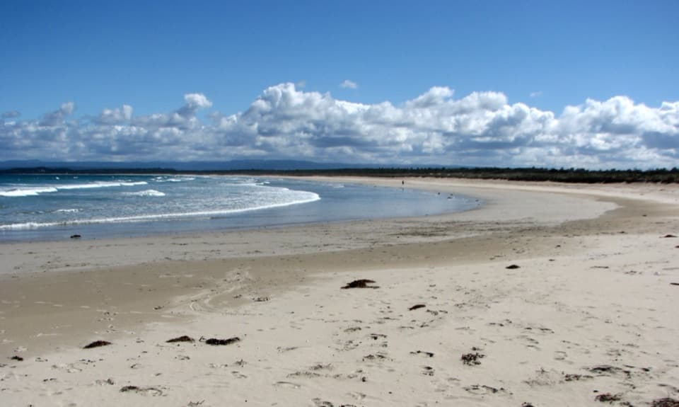
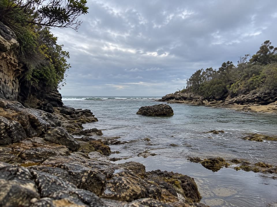
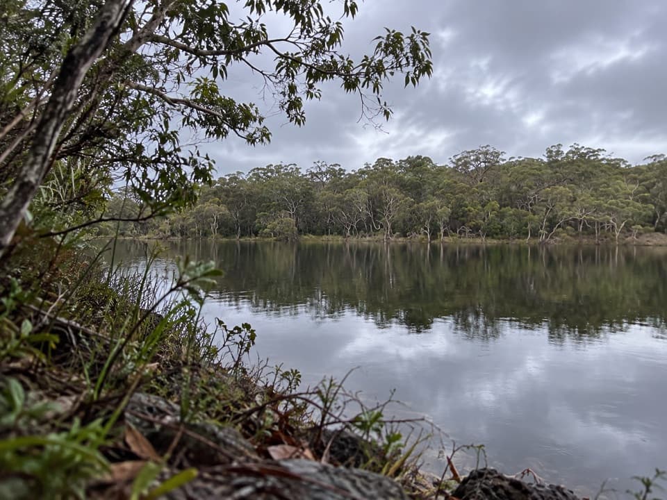
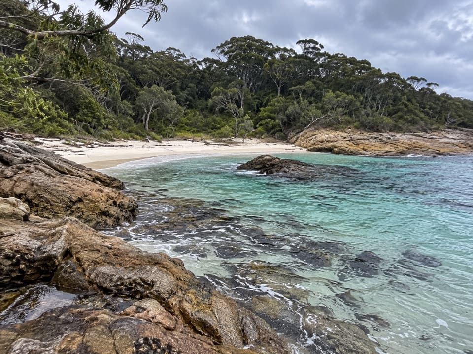
Whiting Beach is a low, south-facing 50-metre strip of sand in a quiet bay, tucked beneath dense forest. The fairly shallow water makes it a good swim or snorkel stop when conditions are calm. A small freshwater waterfall sometimes reaches the back of the beach, but its flow is not dependable. Come for a secluded shore and a swim, not a long stretch of open sand.

The walk is the commitmentYou can arrive by boat or walk in from Steamers Beach car park along the marked Booderee…

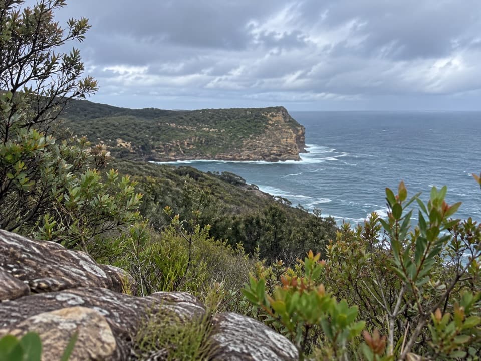
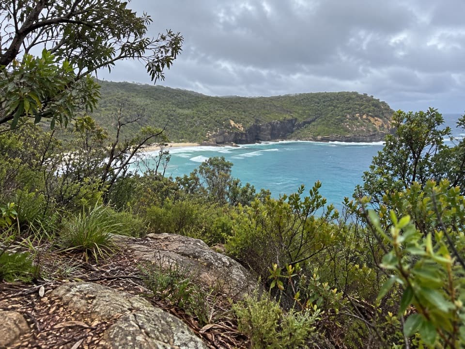
You can arrive by boat or walk in from Steamers Beach car park along the marked Booderee Circuit and Whiting Beach side trail. Allow a little over 4 km each way on foot; the full headland circuit is 11.4 km and takes about four hours if you visit all the main sites. Set aside at least half a day if you want time at the beach as well as the walk. Carry food and drinking water for the outing and stay on marked tracks.

The last stretch is rougherMost of the approach is undulating fire trail, with some exposed sections.

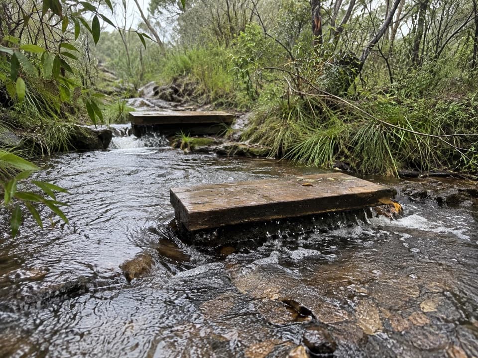
Most of the approach is undulating fire trail, with some exposed sections. Near the beach, a narrow sandy path drops to about 150 metres of uneven rock shelf, with small rock hops before the sand. Wear enclosed shoes for this final section.

Look back to the forestThe dark tree line behind the small sweep of sand is the beach's distinctive frame.

The dark tree line behind the small sweep of sand is the beach's distinctive frame. When the little freshwater waterfall is running, look for it against the forest at the back; you may only catch a glimpse, so don't plan your walk around seeing it.

Wildlife

Wildlife in Booderee

All Booderee wildlife maps

Sighting maps show where each species has been reported across Booderee. Wildlife moves, so no sighting is guaranteed.

Keep exploring

Near Whiting Beach

See it all on the map

Trails nearby

More stops nearby

Parkwolf’s Booderee ranking

Top sights in Booderee

All 33 places
  1. 1Murrays BeachBeach
  2. 2Green Patch BeachBeach
  3. 3Cape St George LighthouseSight
  4. 4Booderee Botanic GardensSight
  5. 5Cave BeachBeach
  6. 6Governors Head LookoutSight

Take Parkwolf to Booderee.

The audio tour guide for the drive, plus offline maps, trails, and wildlife heatmaps for when the signal drops.

4.7 from 8,600+ ratings

Download Parkwolf on the App StoreGet Parkwolf on Google Play