
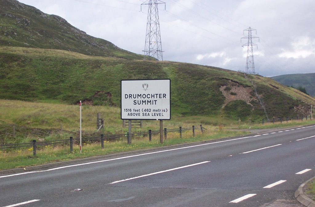
Place · 1.5 mi away
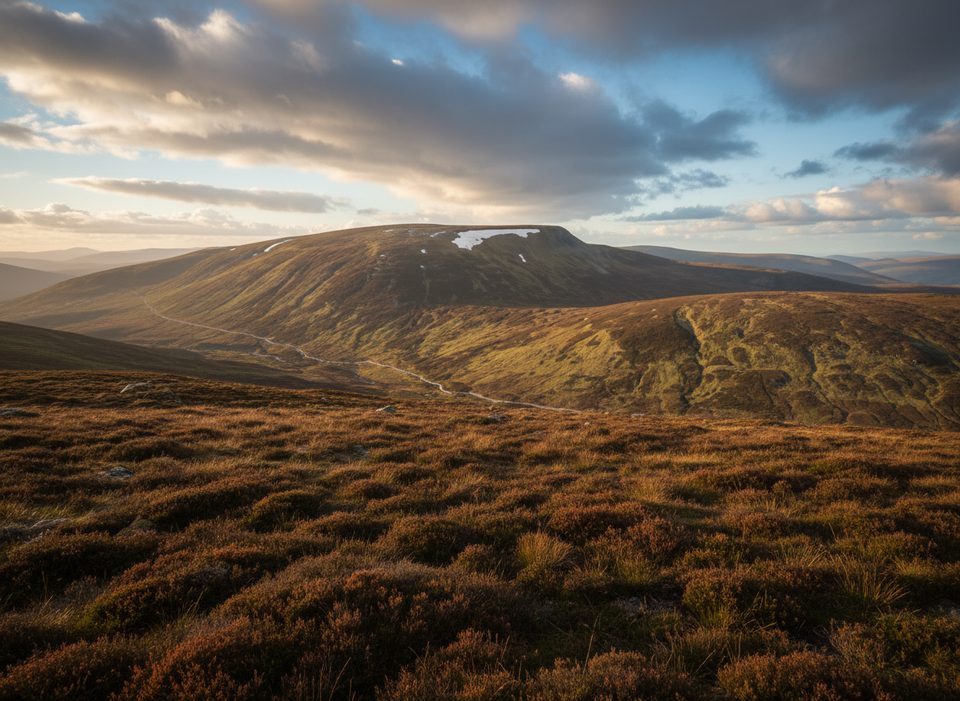
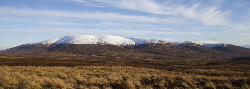
A' Mharconaich is a 975 m Munro with a distinctive SW–NE summit ridge and a dramatic corrie dropping steeply on its eastern side. It sits by the A9 at Drumochter, just inside the park boundary, and feels very different from the central Cairngorms—more rounded, grassy slopes with glacial scars and big skies.
Expect sweeping views over the Drumochter Pass and nearby Munros, plus a striking high corrie immediately beneath the summit. The ridge itself is broad and straightforward in fair weather, with high points at either end that invite a satisfying there-and-back or link-up day.
The standard start is the parking area just before Balsporran Cottages off the west side of the A9. Many walkers pair A' Mharconaich with neighbor Geal Chàrn for a two‑Munro outing from the same trailhead. The approach is efficient by Highland standards, which is why this hill is popular with Munro baggers.
Lower slopes can be wet and boggy, especially after rain. Up high, the plateau can feel featureless, and the corrie’s steep drops on the east side demand respect in poor visibility or winter. Bring map-and-compass skills—mist is common and can make navigation tricky.
Its Gaelic name means “the horse place,” a nod to older land-use and naming traditions. While within the national park, it’s not part of the central Cairngorms massif, lending it a slightly different, Drumochter‑hills character.
Specific listings aren’t given for this hill, but typical upland species in this area include mountain hares, ptarmigan, red grouse, red deer, and the occasional raptor over the higher slopes.
Pick a clear, settled day to make the most of the ridge views and avoid navigational headaches. Winter days can be superb but serious—ice, wind, and corniced edges around the corrie raise the commitment. Weekdays tend to feel quieter; start early for the best weather window and unhurried pacing.
There are no facilities at the start or on the hill—no toilets, food, or water points. The Balsporran parking area serves as the de facto trailhead; come self‑sufficient and expect basic underfoot paths with some bog.
Place · 1.5 mi away
Place · 1.8 mi away
Place · 2.1 mi away
Place · 3.6 mi away
Easy · 9 mi away
Moderate · 10 mi away
Easy · 10 mi away
Easy · 11 mi away

Parkwolf Tour Guide
