
Place · 1.5 mi away
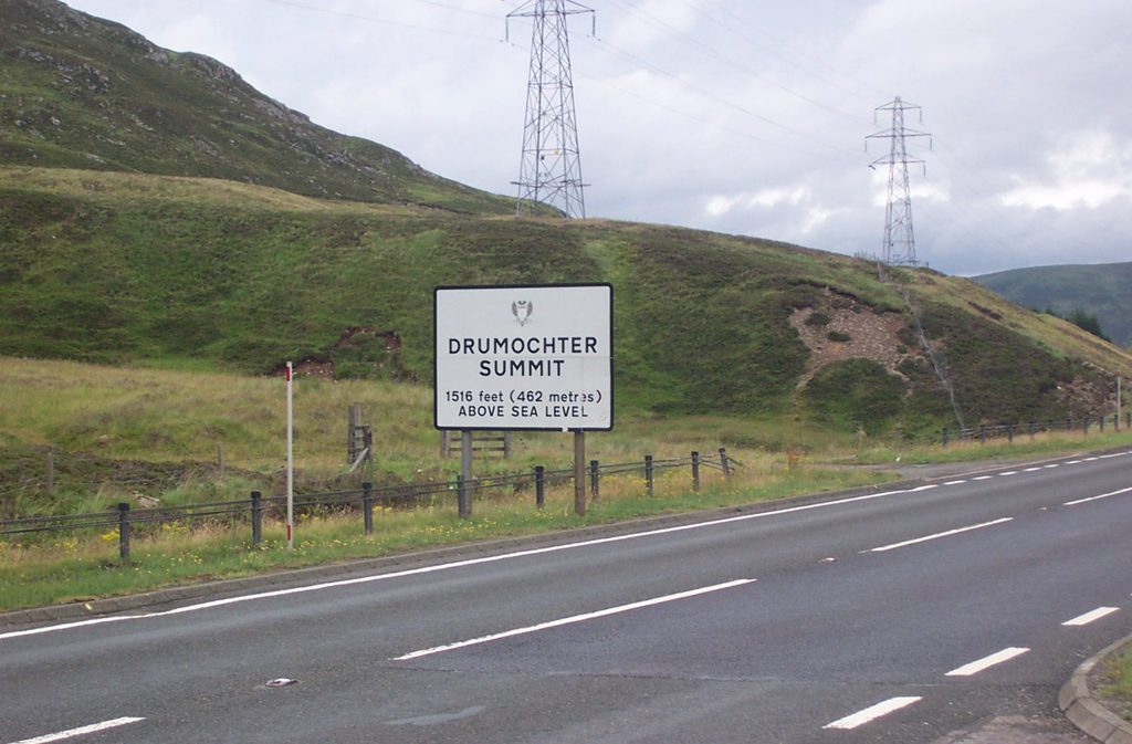
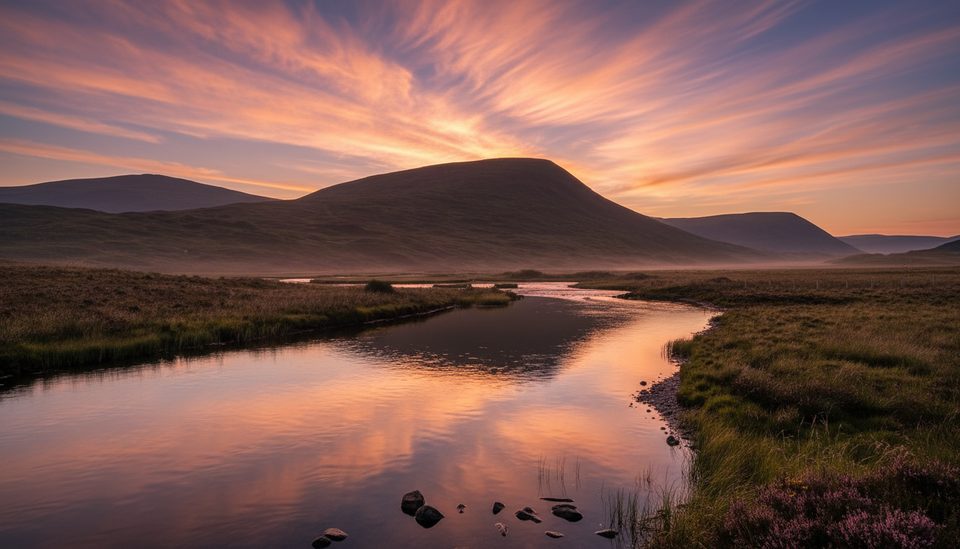
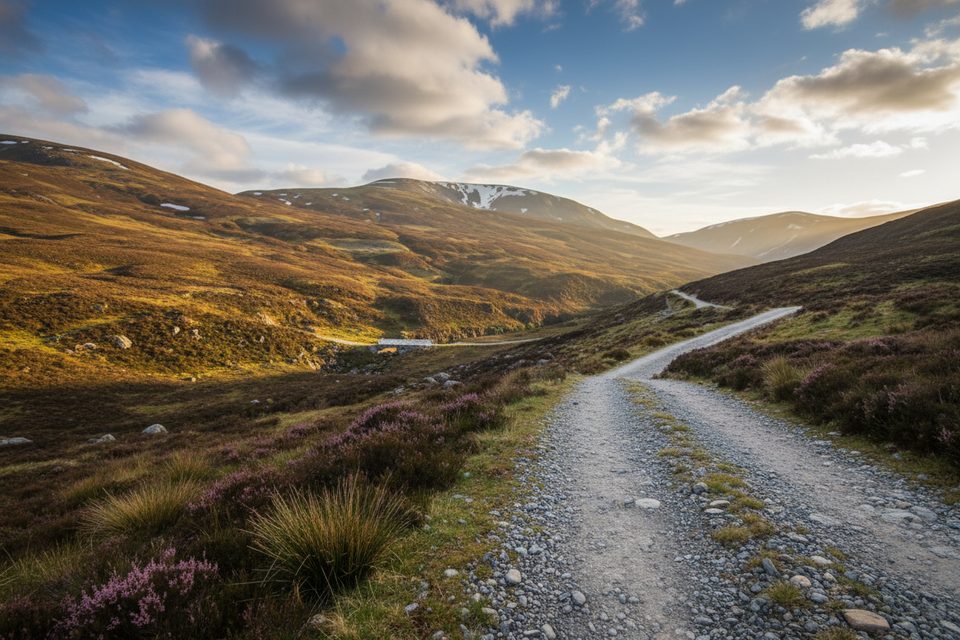
The Pass of Drumochter is the high, windswept gateway between north and south Highlands, cresting around 460–463 m. It carries the A9, Scotland’s main arterial road, and the highest section of the National Cycle Network. You come for the sense of space: broad, glacial U‑shaped scenery and long sightlines framed by steep flanks.
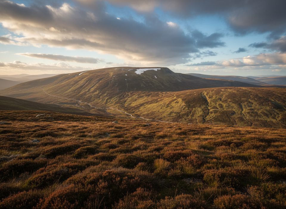
Expect open moorland plateaus and a classic glacial corridor, with rivers parting ways at the watershed—north via the River Truim, south via the River Garry. On clear days, long views stretch toward Loch Ericht and the Ben Alder group, with broad mountain crests rolling away on both sides.
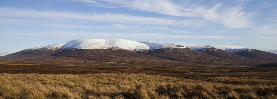
This is a springboard for Munro days. From the pass you can tackle groups like Beinn Udlamain, Sgairneach Mhor, Geal-charn, A’ Mharonaich, Carn na Caim, and A’ Bhuidheanach Bheag—big, open hill days that start right from the corridor. Cyclists on National Cycle Route 7 get an exposed but rewarding traverse with a true Highlands feel.
Keep an eye on the high plateaus for dotterel and ptarmigan. Scan the skyline and ridges for eagles—big country, big birds.
People have moved stock and marched armies through Drumochter for centuries. A military road was first built here in 1728–1730, formalizing what had long been the Highlands’ north–south gateway. Today’s modern upgrades kept the same essential line through the mountains.
Successive Ice Ages carved this broad, U‑shaped glen. The pass sits on a watershed: waters head south via the Garry and north via the Truim, a neat natural dividing line you literally cross on the A9 and the rail line—the highest in the UK.
Weather is the decider here. Drumochter is notoriously exposed with sudden mist, high winds, and winter storms—even in “summer.” Navigation on the surrounding hills can be tricky in clag or snow, and boggy ground adds effort. For winter hill days, treat it like serious mountain terrain.
You’ll find lay-bys and places to pull in along the A9, and small parking spots used by hillwalkers. Don’t expect facilities: no public toilets, shops, or cafes at the pass itself. Buses stop near the A889 junction, about 500 m from walking and cycling routes, which makes public transport a viable option for linear plans.
If you’re chasing big Highland atmosphere with minimal faff, absolutely. It’s not the most intricate scenery in the park, and some find the plateau landscapes a bit samey—but the scale, history, and easy Munro access make Drumochter a strong, no-brainer stop on any north–south route.
Place · 1.5 mi away
Place · 1.5 mi away
Place · 2.1 mi away
Place · 3.5 mi away
Easy · 9.4 mi away
Moderate · 10.1 mi away
Easy · 10.1 mi away
Easy · 10.3 mi away

Parkwolf Tour Guide
