Pros & cons
PROS
- Often paired with A' Bhuidheanach Bheag for an easy two-Munro day
- Simple logistics from an A9 layby with a vehicle track to the plateau
CONS
- Featureless, boggy plateau with tricky navigation in mist
- Views are broad rather than dramatic
Overview
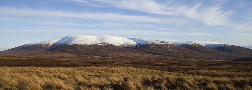
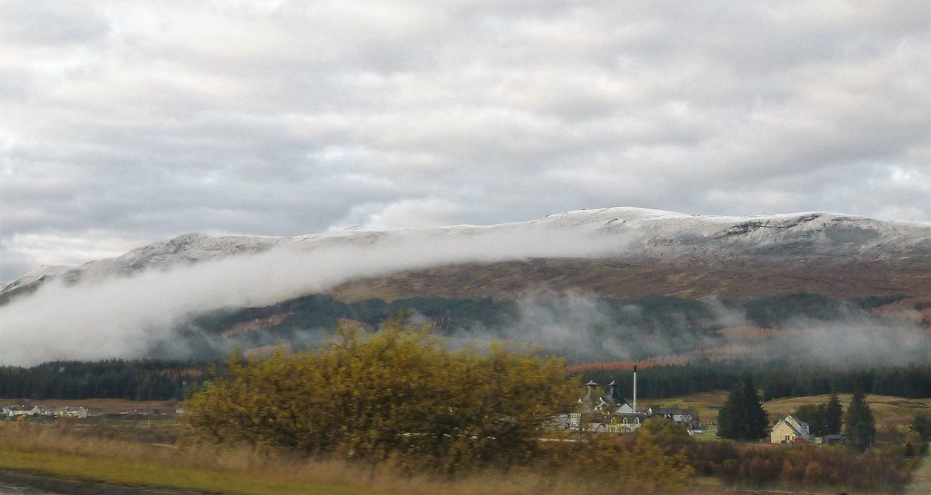
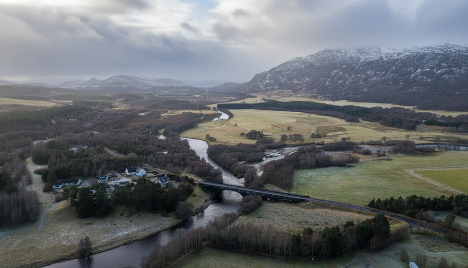
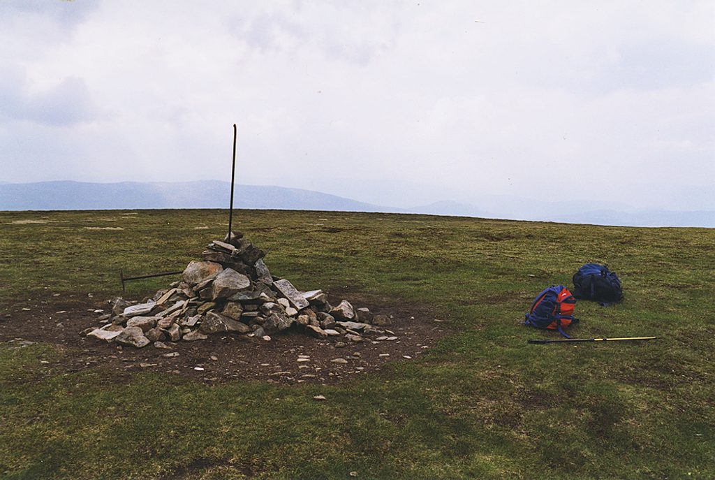
Carn na Caim is a 941 m Munro on the eastern side of the Drumochter Pass, sitting on a broad, gently undulating plateau. It’s about space and exposure rather than crags and drama—a high, open moor that feels wild in poor weather and airy on a clear day.
What You'll See
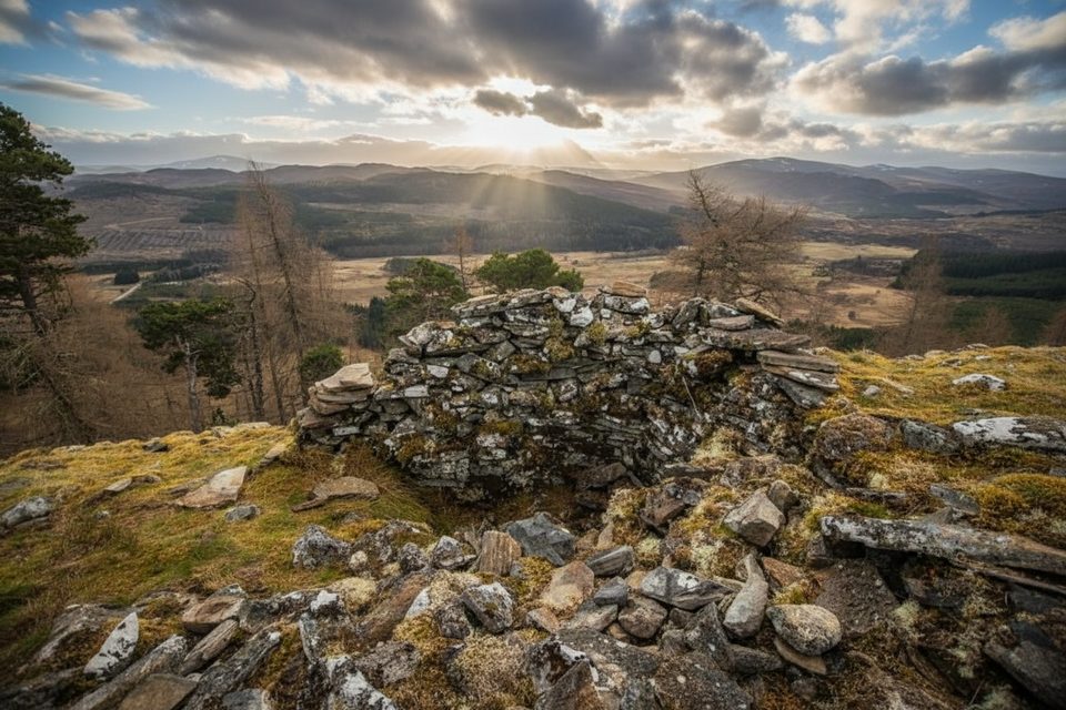
Expect a sweeping panorama across the Drumochter corridor and surrounding rounded hills. The summit is marked by a cairn. Underfoot can be boggy, and the ground is notably featureless once you’re on the plateau, so the experience hinges a lot on conditions.
Route & Access
Most walkers start from a layby on the A9 just south of the Dalwhinnie turnoff, climbing a stony vehicle track before the path becomes fainter on the plateau. It’s commonly linked with neighboring A' Bhuidheanach Bheag to make a satisfying two-Munro round. Navigation is straightforward in clear weather but becomes demanding in clag; tracks fade and the terrain offers few handrails.
Public transport can work here too: there’s a bus stop at the A9/A889 junction, about 500 m from the usual start.
Wildlife
This upland is known for dotterel and ptarmigan—iconic Highland birds of the high moors. Sightings vary with season and luck, but keep eyes and ears open on the plateau.
Best Time to Visit
Pick clear, settled days—sunny conditions make for a pleasant outing, while wet, murky weather can turn the featureless, boggy plateau into a dreary trudge with challenging navigation. When conditions are decent, some walkers even squeeze it into an evening outing.
Know Before You Go
- It’s popular with Munro baggers, often done as a pair with A' Bhuidheanach Bheag.
- There are no facilities at the layby or on the hill—arrive self-sufficient.
- Map, compass, and GPS are essential in poor visibility; the plateau offers few features to follow.
- Standard hill kit applies; escalate to full winter kit when snow and ice arrive.
Where it is
56.9112, -4.1744Tips for Carn na Caim
- 01Start from the A9 layby about 0.75 km south of the Dalwhinnie turnoff.
- 02Link it with A' Bhuidheanach Bheag for a two-Munro round.
- 03Carry map, compass, and GPS; tracks fade on the featureless plateau.
- 04Expect wet, boggy ground—waterproof boots and gaiters help.
- 05There’s a bus stop at the A9/A889 junction about 500 m from the start.
Amenities
Near Carn na Caim
All places →All trails →
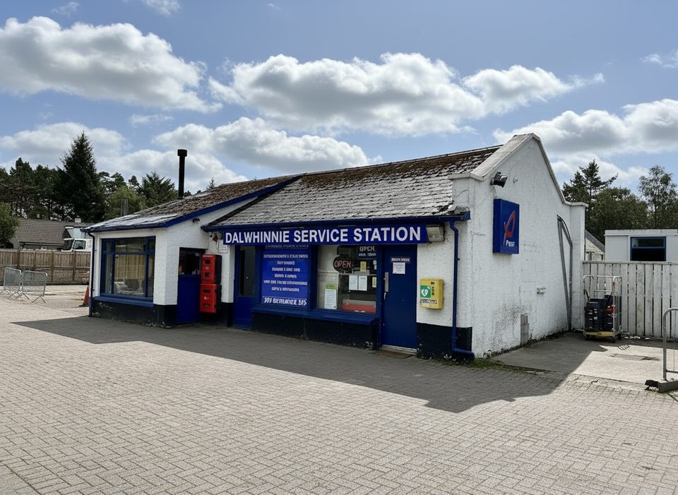
2.8 mi awayDalwhinnie Filling StationRemote Highland fuel stop with basics and big viewsGas Station · Restroom
2.9 mi awayA' Bhuidheanach BheagA broad Munro plateau with big views and boggy milesParking · Pullout
3.1 mi awayDalwhinnie DistilleryHigh-altitude Highland distillery with tours, tastings and big viewsParking · Restroom
3.2 mi awayDalwhinnieHigh‑elevation whisky village with big views and an award‑winning tourVisitor Center · Store
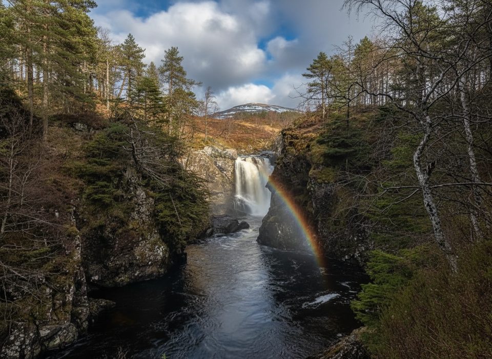
6.3 mi awayFalls of Truim PathShort riverside wander to a lively Highland waterfall and old bridgeEasy · 1.2 mi · 45 min
8.2 mi awayDun da Lamh HillfortAncient hillfort, big Strathspey views, and a blue-waymarked approachModerate · 5.6 mi · 3 hr
8.2 mi awayPuggy LineQuiet loop through ancient pine forest on a historic logging railway.Easy · 2.5 mi · 1 hr
8.5 mi awayFalls of Pattack TrailShort, moody gorge walk to a dramatic Highland waterfallEasy · 5 mi · 2 hr