Overview
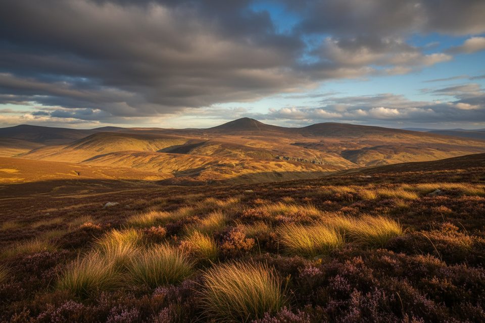
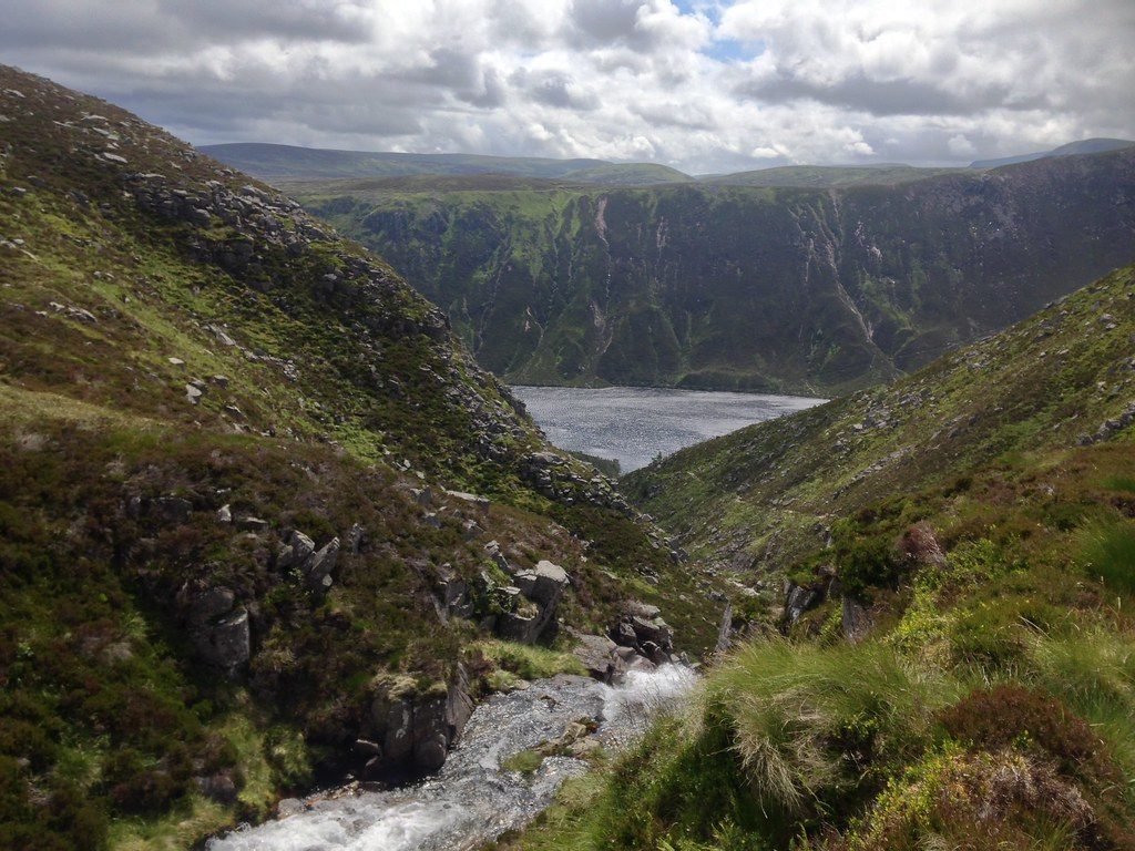
Mount Keen tops out at 939 m and sits as the most easterly of Scotland’s Munros, a rounded dome rising above the Mounth plateau. It’s a straightforward, rewarding hill that feels wild without being technical—ideal if you want a big‑view summit without complex scrambling.
Main Routes
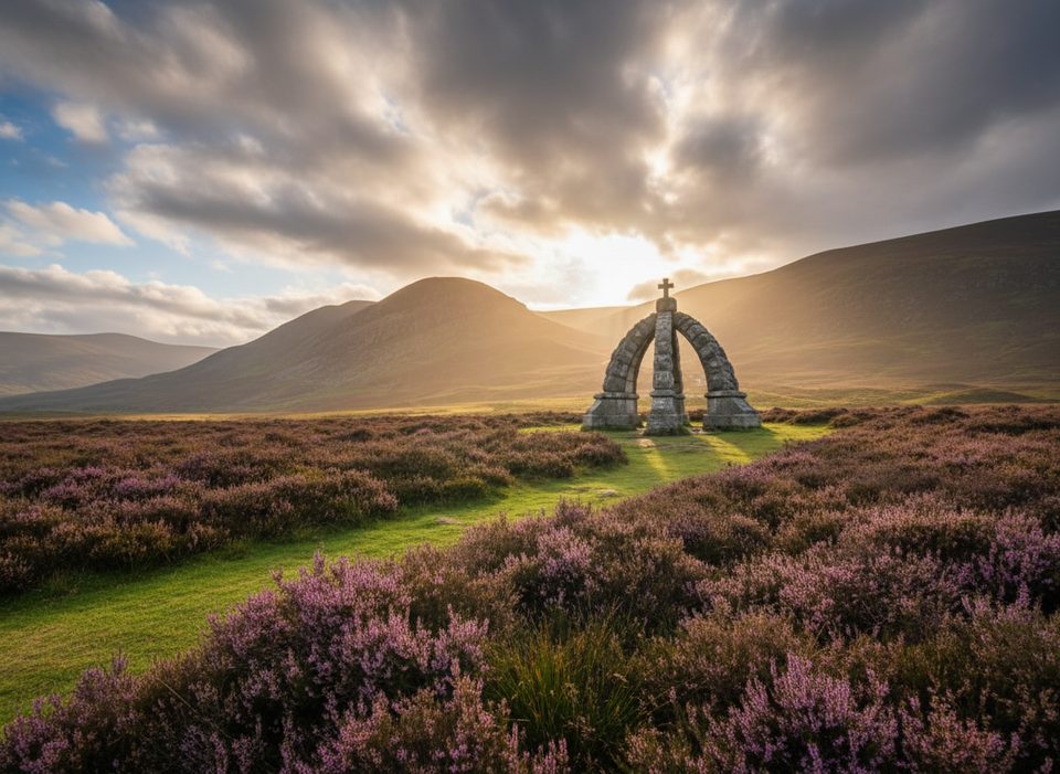
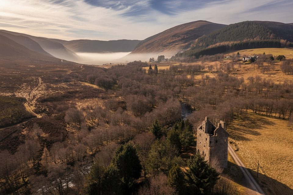
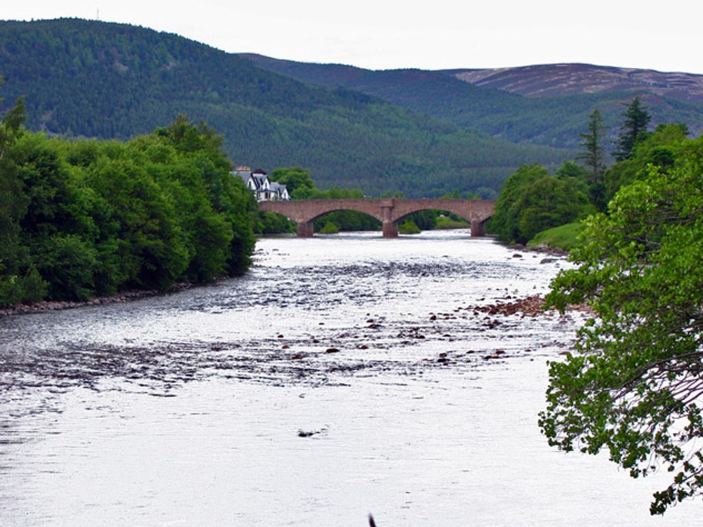
- Southern approach (Glen Mark/Glen Esk): The quickest, most popular way up starts from Invermark, passing Lochlee Parish Church, the Queen’s Well monument, and Invermark Castle before a steady climb on clear tracks to the summit.
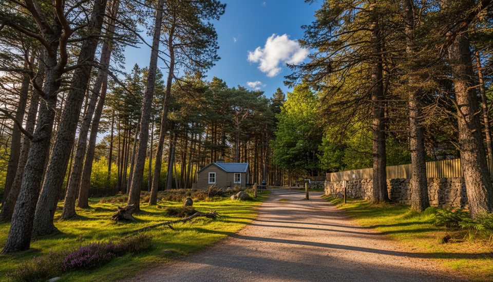
- Northern approach (Glen Tanar): The longer, more scenic line weaves through magnificent Caledonian pinewoods on estate/drove tracks and then climbs onto the open Mounth. Many walkers use a bike for the track miles on this side to save time and legs.
- Historic line of travel: Much of the southern approach follows an old drove route known as the Mounth Road.
What You’ll See
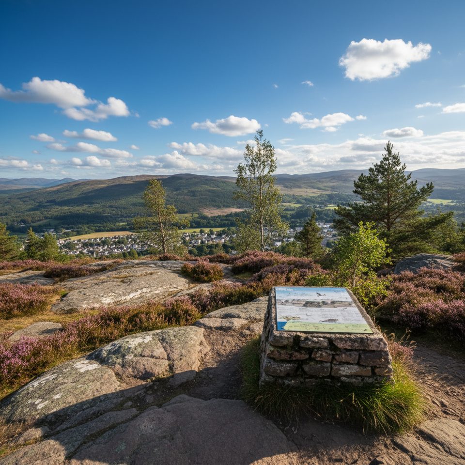
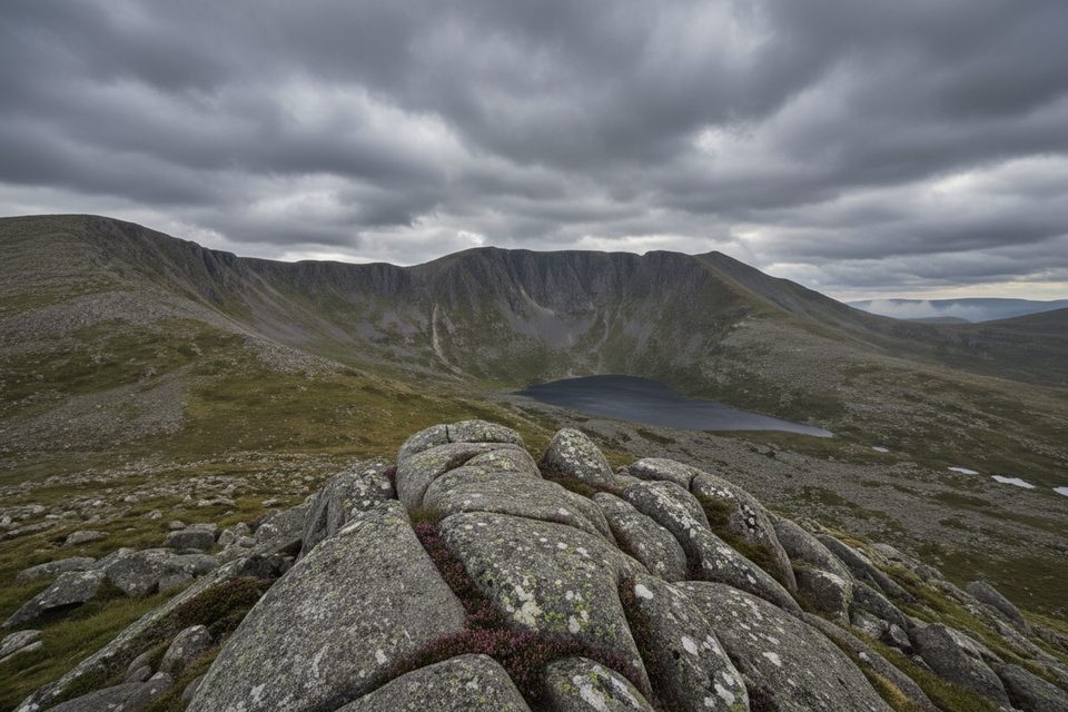
Expect big, open panoramas across the Cairngorms, with Lochnagar prominent on clear days. The southern route adds cultural texture—granite arches of the Queen’s Well and the 16th‑century Invermark Castle—while the northern approach treats you to classic Scots pine forest ambience before the high moor.
Wildlife
Red deer are commonly spotted in both glens. Keep an eye out for grouse, mountain hares, and birds of prey, particularly around the quieter upland stretches and near the pinewoods.
Difficulty and Terrain
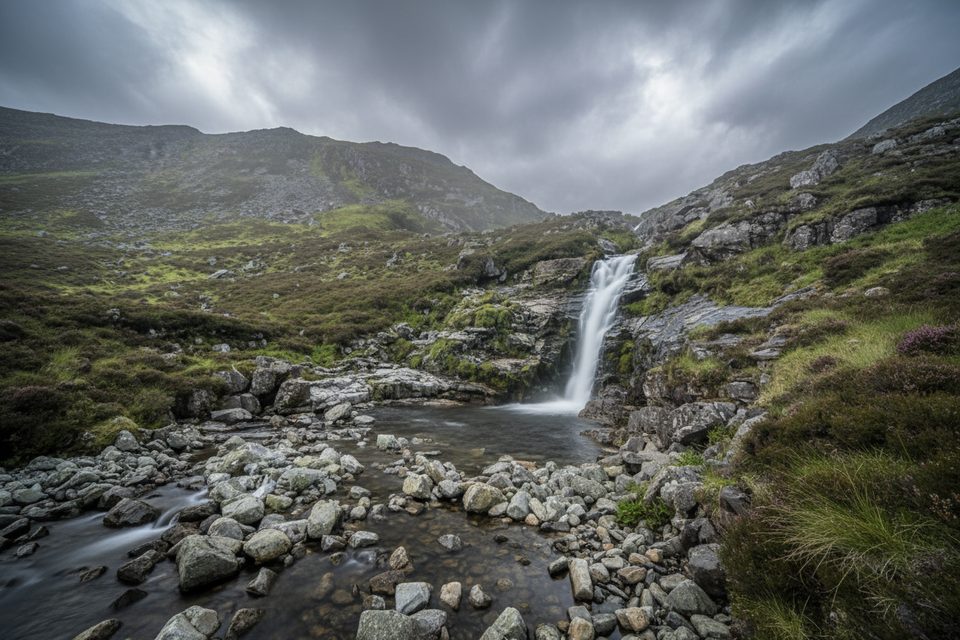
Paths are clear and well‑defined for most of the way, but it’s still a full mountain day. The summit and upper slopes are exposed, and the track surfaces can be loose or boggy in places after rain.
Practicalities & Amenities
- Parking is available at Invermark for the southern route.
- There are no toilets, food, or water facilities on the mountain or at the trailheads—come self‑sufficient.
- No public transport serves the standard start points; plan to drive.
- In winter, conditions can be serious; avalanche risk may be present in the Southern Cairngorms.
Tips for Choosing a Route
- Short on time? Go from Glen Mark.
- Craving scenery and forest? Choose Glen Tanar—and consider bringing a bike for the approach.
Best Time to Visit
- Late spring through early autumn offers the most reliable walking conditions and the broadest views. Clear days make the summit panorama shine.
- Summer brings midges—pack repellent and aim for breezier conditions higher up.
- In winter, only go with appropriate skills and gear; check the latest avalanche and weather forecasts.